Ruta de los Volcanes La Palma: Guide, Distance & Tips
Last updated November 2026: the ruta de los volcanes la palma hike, also called the Ruta de los Volcanes (Volcano Route), is a demanding ridge walk along the GR-131 through Cumbre Vieja Natural Park. It covers about 17 km from El Paso municipality to Fuencaliente municipality, so you need a full day. Your main choice is a guided tour with hotel transfer or an independent hike where you solve the one-way logistics yourself.
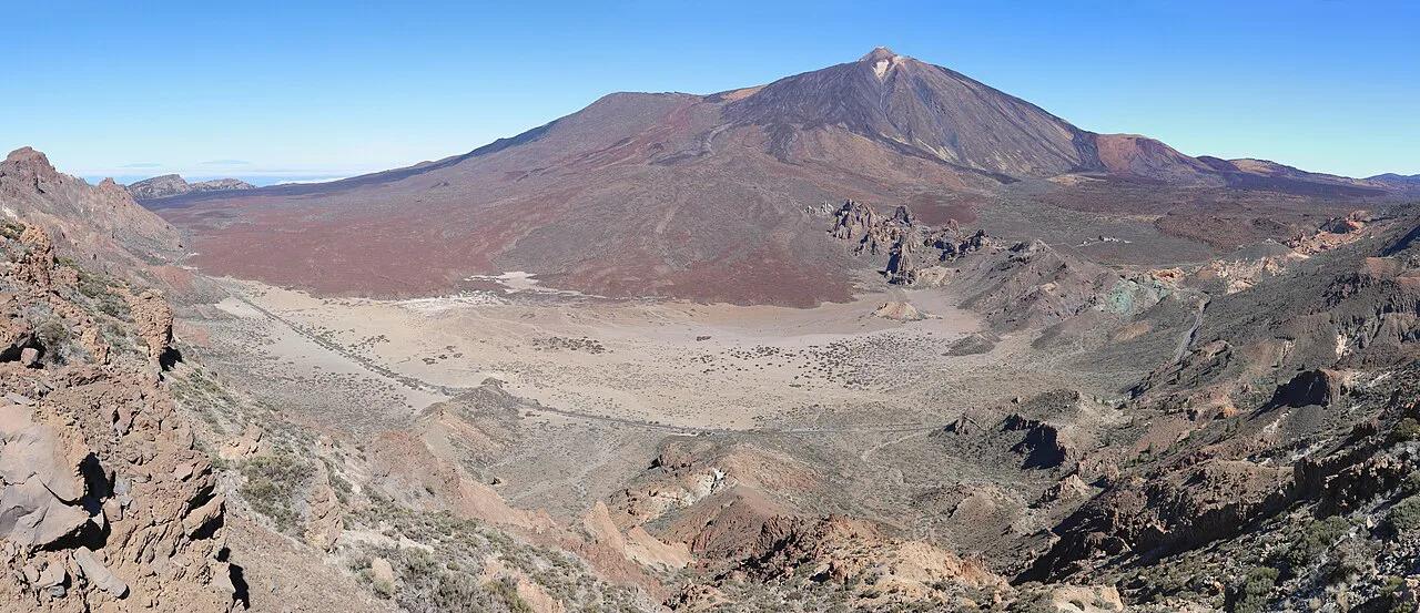
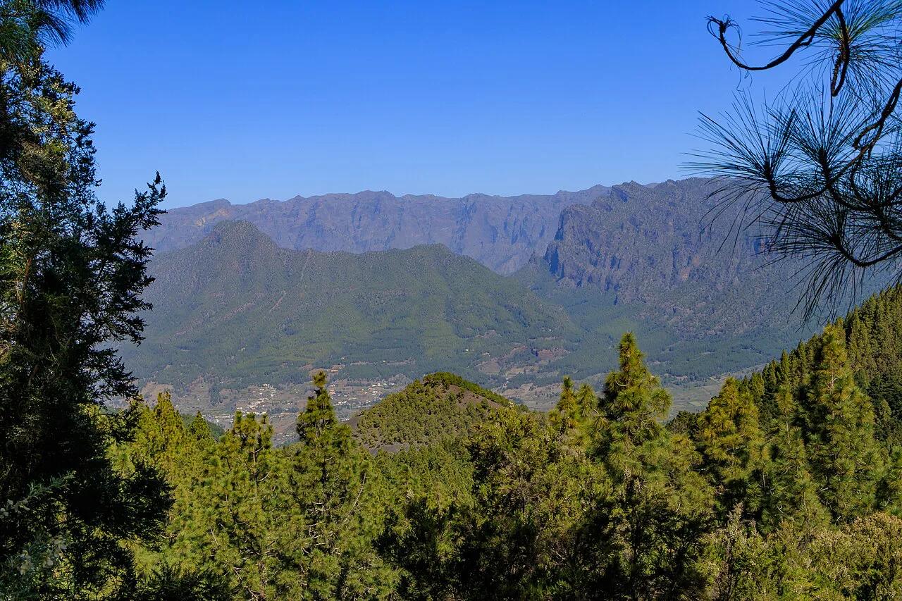
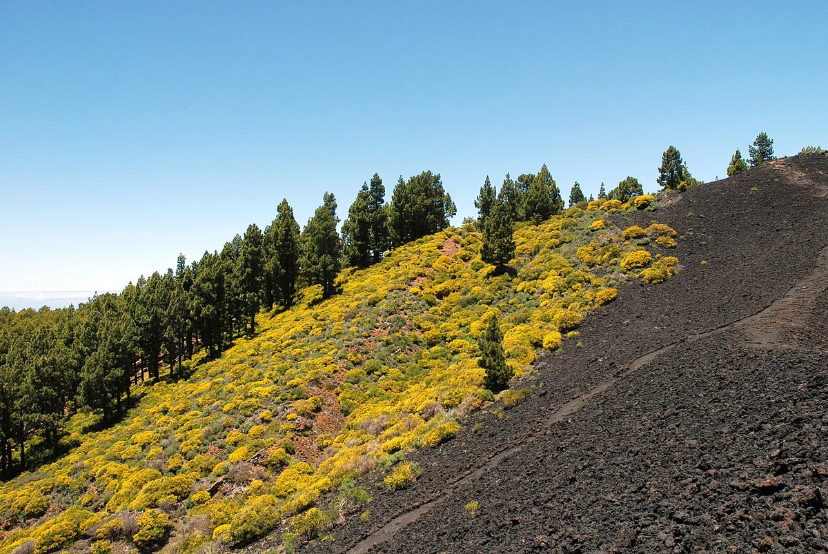
Featured image: H. Zell, CC BY-SA 3.0, via Wikimedia Commons.
What the Ruta de los Volcanes La Palma hike is
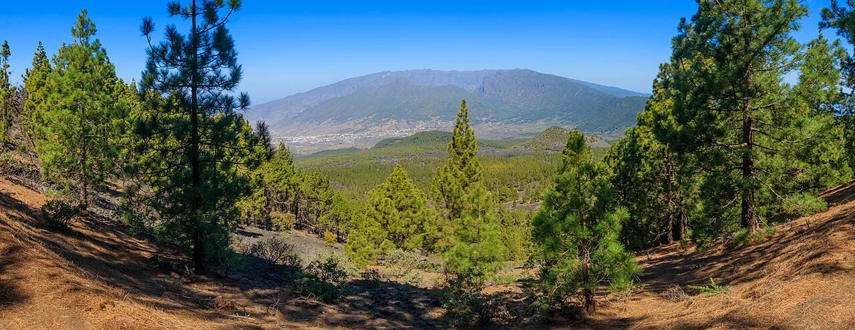
Ruta de los Volcanes is the name given to the GR-131 section that follows the Cumbre Vieja ridge, the youngest volcanic part of La Palma. You walk south from the El Paso side, commonly from Refugio El Pilar, toward Fuencaliente. Distance is about 17 km. A guided group takes roughly 7 hours, so independent walkers should plan a similar full day plus breaks. Terrain is lava, ash, calderas and Canary pine. Fit walkers used to long days will cope best. The route is not accessible, and one guided operator sets a minimum age of over 10 for children who already hike.
Route at a glance
Use this table to size up the day. The 17 km distance and 7 hour duration come from the guided operator's description. Check elevation and water points on the official stage description at Visit La Palma before you commit.
| Item | Detail |
|---|---|
| Trail | GR-131 through Cumbre Vieja Natural Park |
| Start | El Paso municipality (Refugio El Pilar is the usual trailhead) |
| Finish | Fuencaliente municipality |
| Distance | About 17 km |
| Duration | About 7 hours on a guided day |
| Difficulty | Demanding |
| Terrain | Lava, ash, calderas, Canary pine |
| Shade and water | Little shade on much of the route; carry all your water |
What you'll see along the Cumbre Vieja ridge
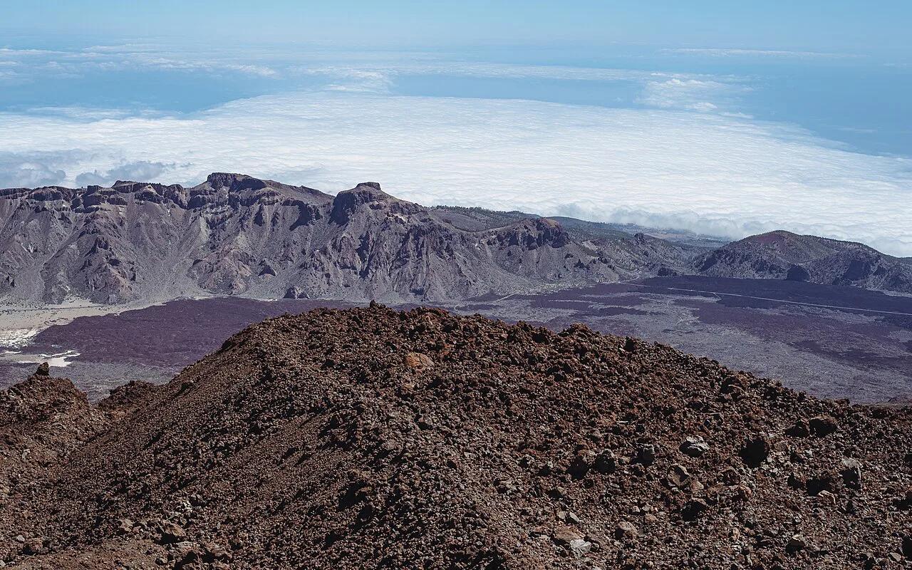
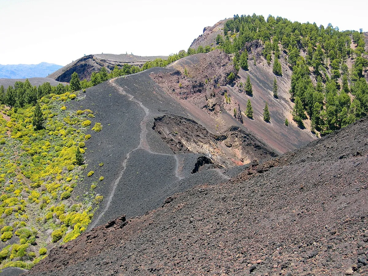
The ridge strings together several volcanic cones, which is why the route earns its name. Much of it crosses the Cumbre Vieja ridge, the spine of the island's southern half. For background on the island's eruptive history, start with this overview of La Palma's volcanoes.
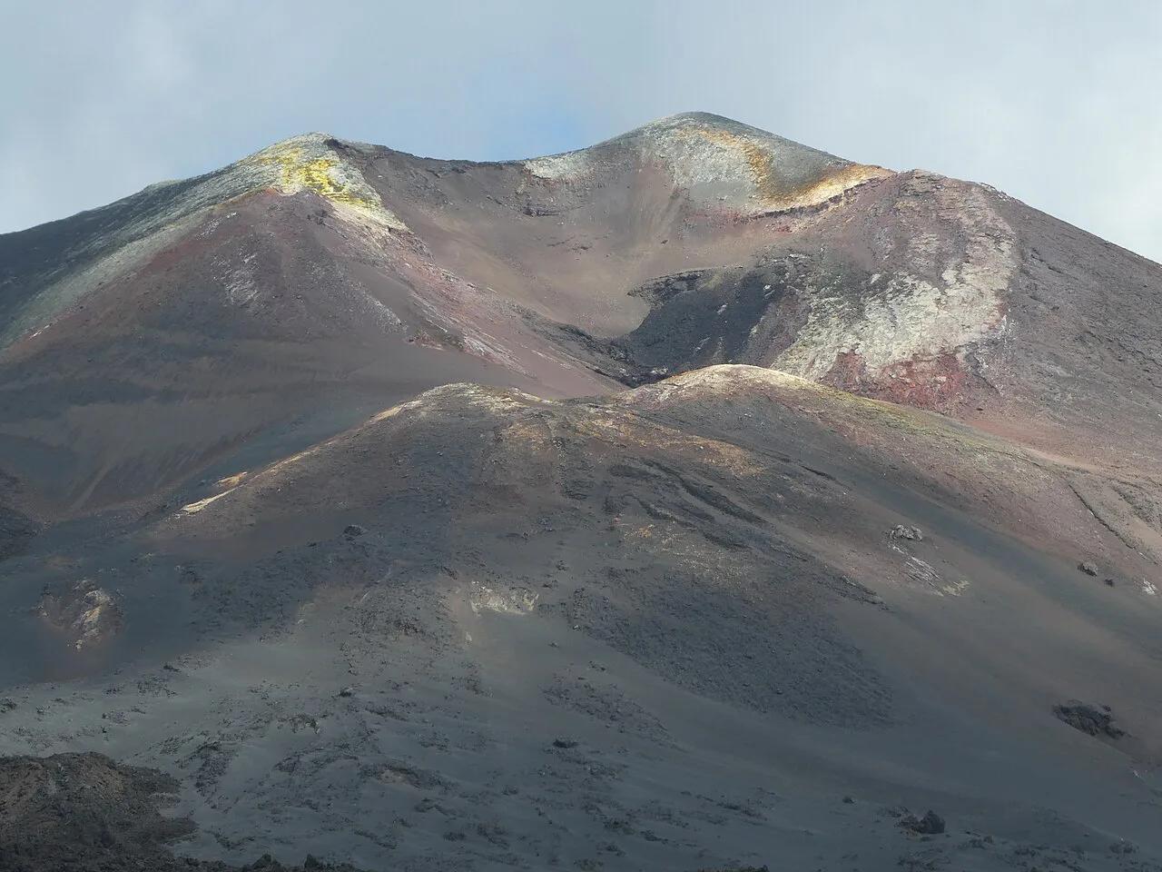
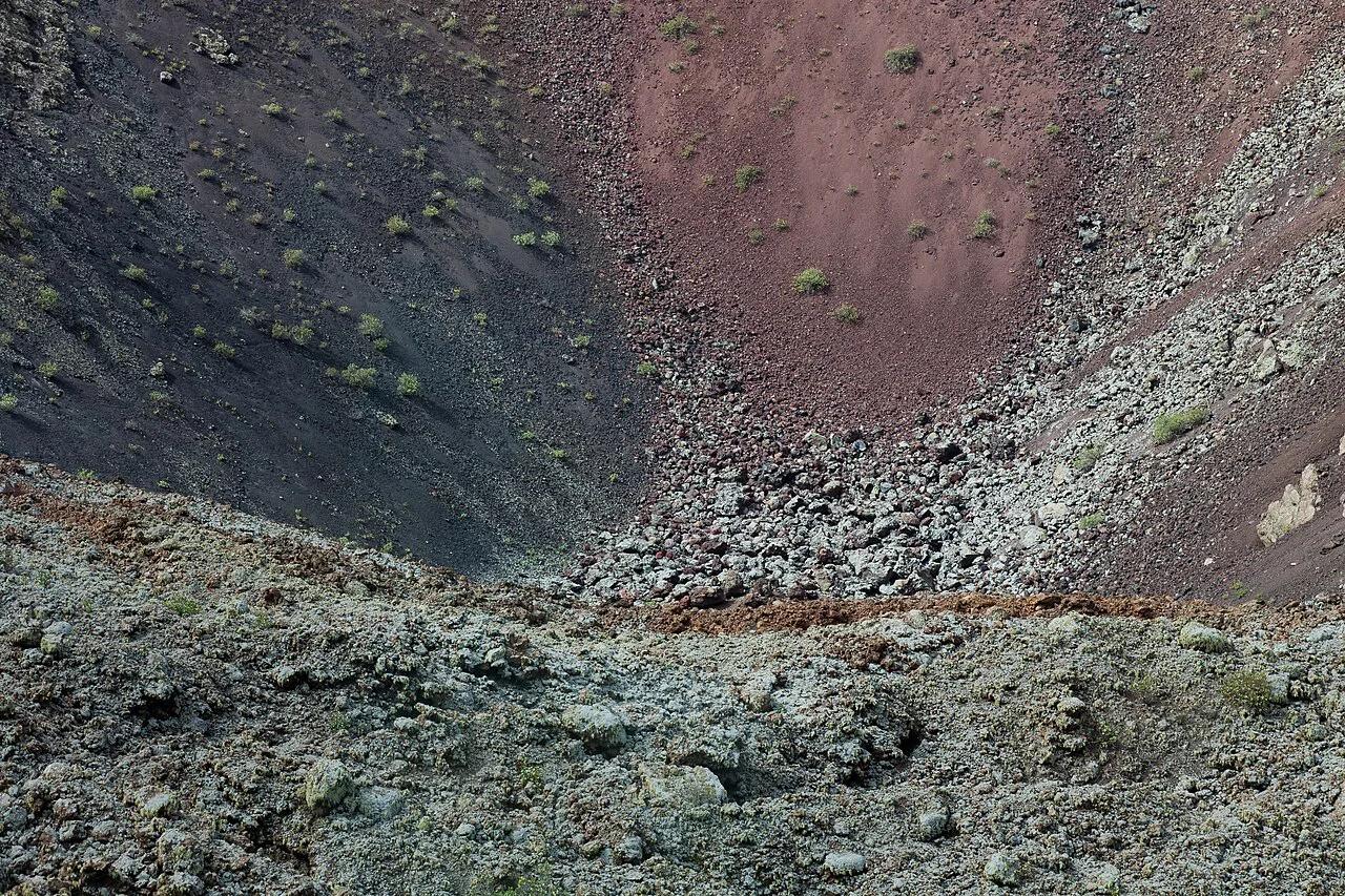
Among the cones, San Antonio Volcano (La Palma): Visit Guide & Tips and Teneguía are the best-known stops as you head toward Fuencaliente. Expect black cinder slopes, red and ochre ash, and pines growing through old lava.
The most recent eruption began in 2021. Read about the Tajogaite eruption to understand how fresh the youngest ground is. Its effect on the landscape around Todoque shows how quickly the island still changes. For current volcanic monitoring, see the Instituto Volcanologico de Canarias.
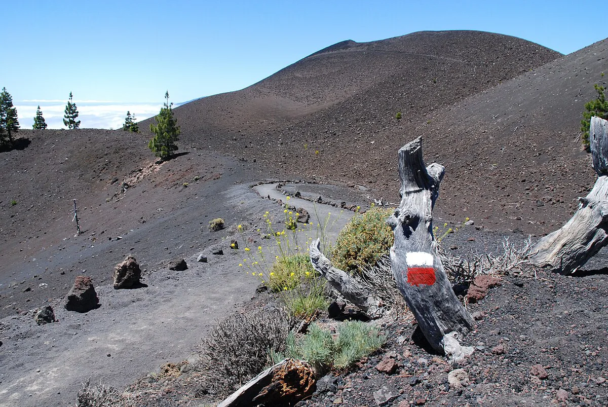
On clear days the ridge gives views over both sides of La Palma. Tenerife, La Gomera and El Hierro can appear, depending on the day.
Guided tour vs independent hike
One operator's guided version costs €46 for adults and €23 for children up to 11. These are operator-quoted rates, with prices and hours checked November 2026, so confirm the current rate when booking. The price includes hotel transfer, a certified guide and insurance. Departures run on Mondays and Wednesdays depending on season, roughly 9:00 to 17:00.
€23 for children up to 11 sits oddly beside the operator's minimum age of over 10, so a child aged 11 falls in the gap.
Groups run from 9 to 17 people in Spanish, English or German. The operator also says the route is not suitable for families with children, yet lists a child rate. Treat it as a route for older, experienced young hikers only.
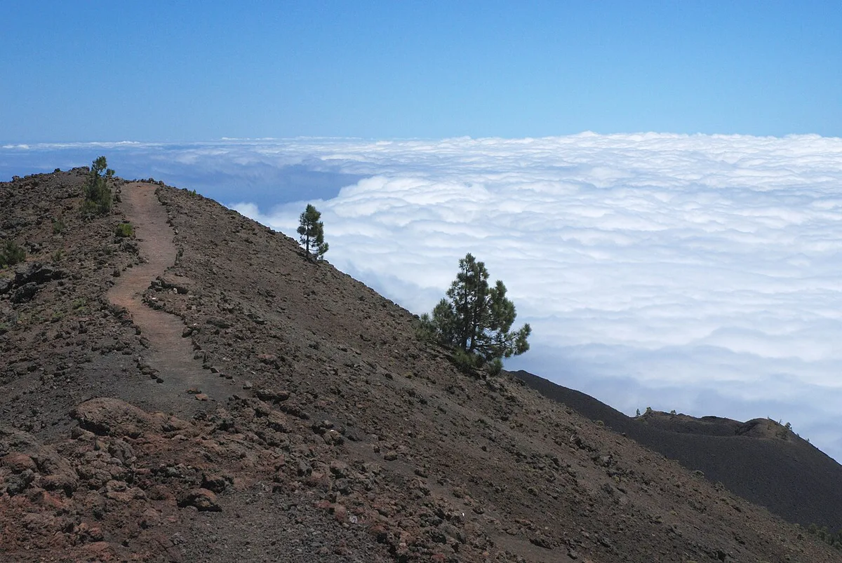
An independent hike gives you flexibility on dates and pace. In exchange, you handle navigation, water, weather calls and the one-way return yourself.
| Factor | Guided tour | Independent hike |
|---|---|---|
| Cost | €46 adults, €23 children up to 11 (operator-quoted) | Your own transport costs |
| Transfer | Hotel pickup and return included | You arrange a shuttle, bus, taxi or two cars |
| Schedule | Mondays and Wednesdays, season permitting | Any day the weather allows |
| Group size | 9 to 17 people | Your own party |
| Language | Spanish, English, German | Not applicable |
| Navigation | Certified guide | GR-131 waymarks and your own map or GPS |
| Skip it if | You need a flexible start or have mobility limits | You lack a return plan or hill experience |
Getting there and back
A point-to-point route needs a shuttle plan. You finish in Fuencaliente municipality, far from where you start in El Paso municipality. Guided tours solve this with a hotel transfer.
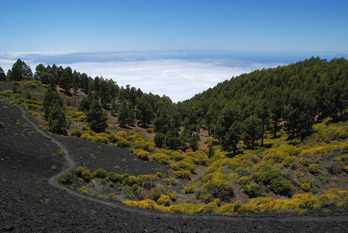
If you walk independently, you have three options. Park at one end and take a taxi back to the car. Leave a second car at the finish. Or use public buses, then check the Transportes Insular La Palma timetable for the connection you need.
Building a 17 km walk around a last bus is risky. A 9:00 start and a roughly 7 hour walk leave little slack before late afternoon. Choose a base on the west or east side of the island with that return in mind.
Best time, weather and safety
Weather decides this walk. Heat and sun hit hard in summer because shade is scarce. Winter brings cold at altitude, wind and shorter daylight, which matters on a 7 hour day. Low cloud can erase the views and the waymarks.
2 litres per person is only the floor, and summer heat on a route with scarce shade means carrying more is the safer call.
Skip the route in strong wind, heat or low cloud. Check route status and any closures with Visit La Palma, the island's official tourism site, before you go. Eruption-zone access rules can change, so follow current Cabildo de La Palma and park guidance.
For wider context on risk, see whether La Palma is safe to visit.
What to pack and common mistakes
Pack for exposure and no resupply. The operator advises at least 2 litres of water per person, plus food for the whole day.
- Water: at least 2 litres per person, more in summer.
- Footwear: hiking boots or shoes with grip for loose ash.
- Layers: warm and windproof clothing in winter, since the ridge is exposed.
- Sun protection: sunglasses, sunscreen and a hat in summer.
- Food: bring all of it, because you should not count on mid-route resupply.
- Mistake to avoid: underestimating 17 km on loose volcanic ground.
- Mistake to avoid: starting late and having no confirmed ride back.
Combine it with other stops
The walk takes the whole day, so do not stack another big activity on it. Pair it with a second day instead. A good second day is the summit area at Roque de los Muchachos: Visiting La Palma's Summit, home to the observatory run by the Instituto de Astrofisica de Canarias.
After the walk, plan an evening of stargazing on La Palma only if you still have energy. For a shorter, gentler outing on another day, consider Cueva de las Palomas: Location, Access and Virtual Visit.