Santorini Volcano Map: Where It Is & How to Visit
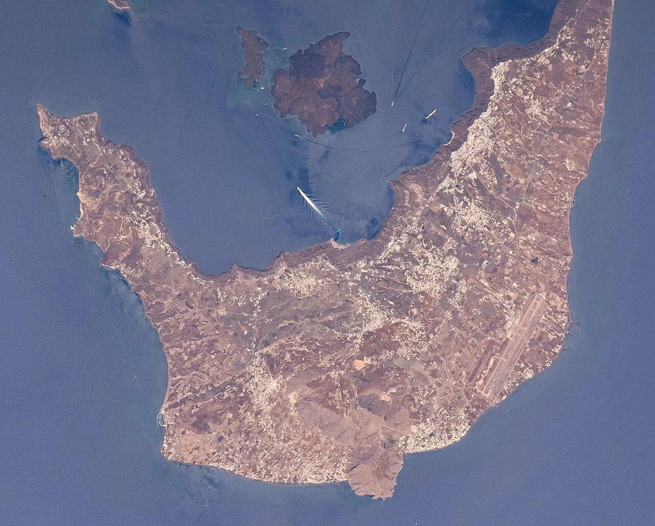
Last updated November 2026. A Santorini volcano map does not show a mountain cone. It shows a flooded caldera, a broken ring of cliffs and a cluster of small islets in the middle of the bay. Nea Kameni is the islet you can visit, and our map legend below explains how each point connects to the harbors and clifftop villages. For the science behind the shape, start with our Santorini volcano explainer.
Featured image: Earth Science and Remote Sensing Unit, Lyndon B. Johnson Space Center, Public domain, via Wikimedia Commons.
Santorini Volcano Map at a Glance
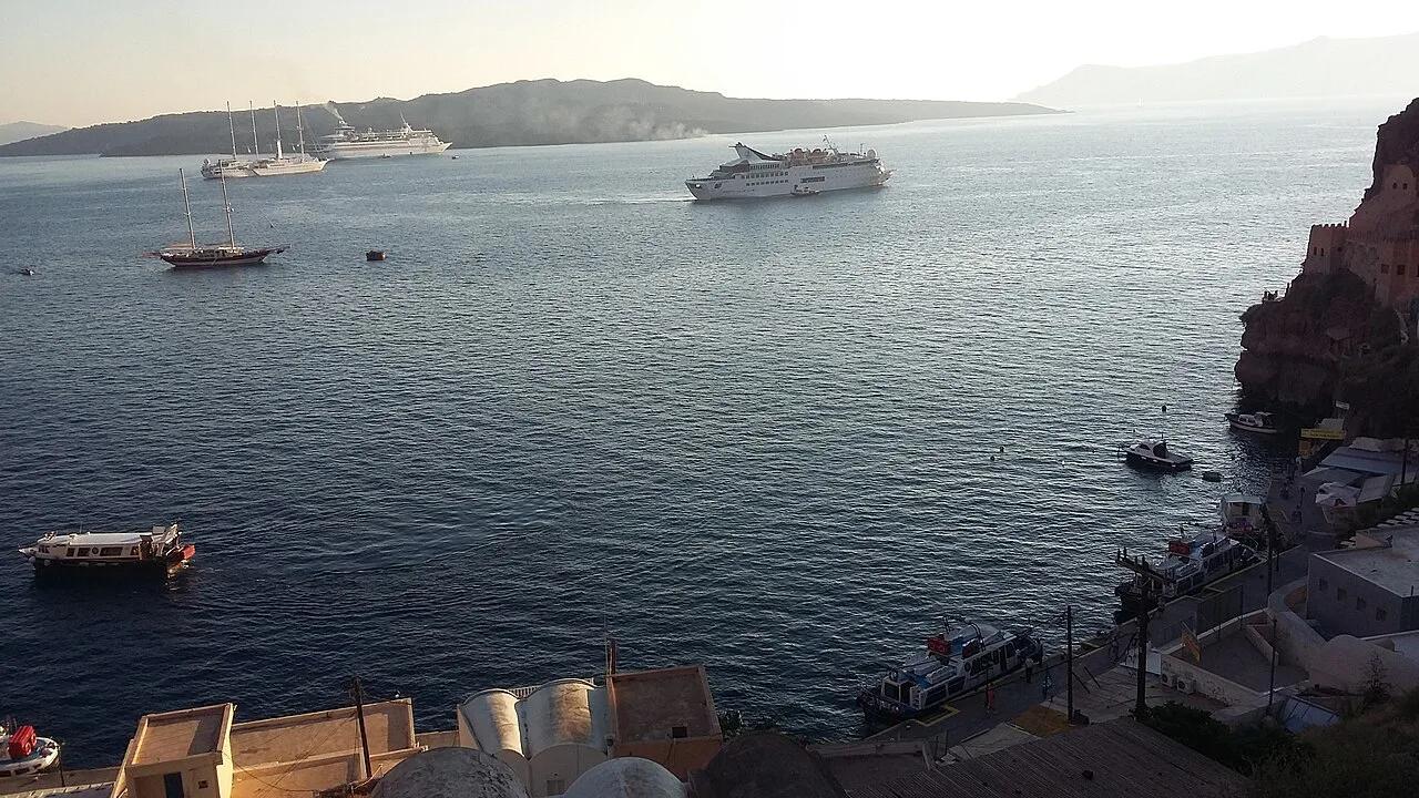
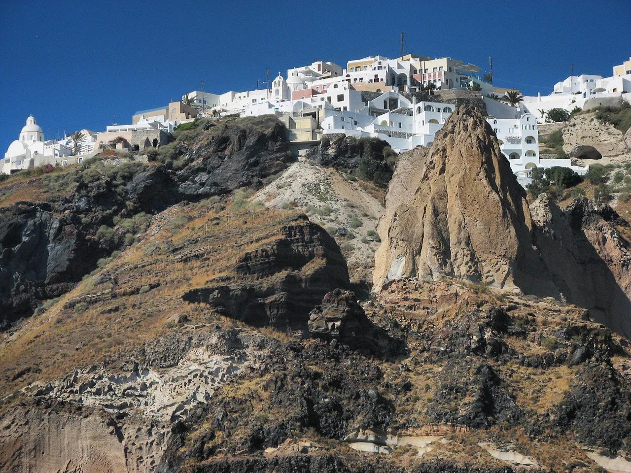
Picture a rough ring with the island of Thira (Santorini) forming the long eastern side. Thirasia curves along the western side, and tiny Aspronisi sits at the southwest gap. Inside that ring, Palea Kameni and Nea Kameni rise from the water as the volcano's visible cores. Fira, Imerovigli and Oia all sit on the rim of Thira's cliff, looking across the water at those islets. Use the legend to translate each label into a visit decision.
| Map feature | Can you visit? | How you reach it | Covered in |
|---|---|---|---|
| Caldera rim villages (Fira, Imerovigli, Oia) | Yes, on foot or by road | Walk or drive along the cliff edge | What the Map Shows |
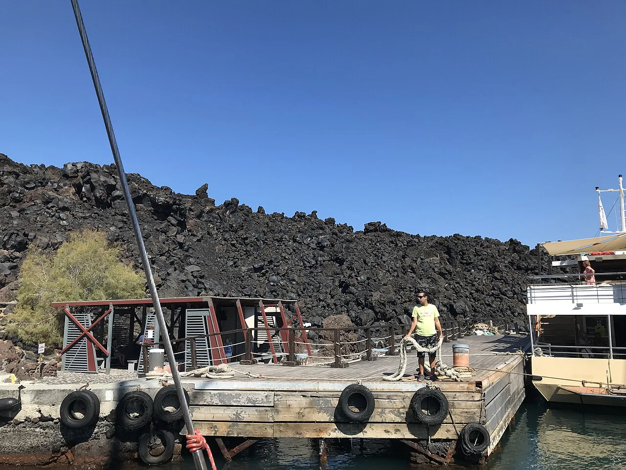
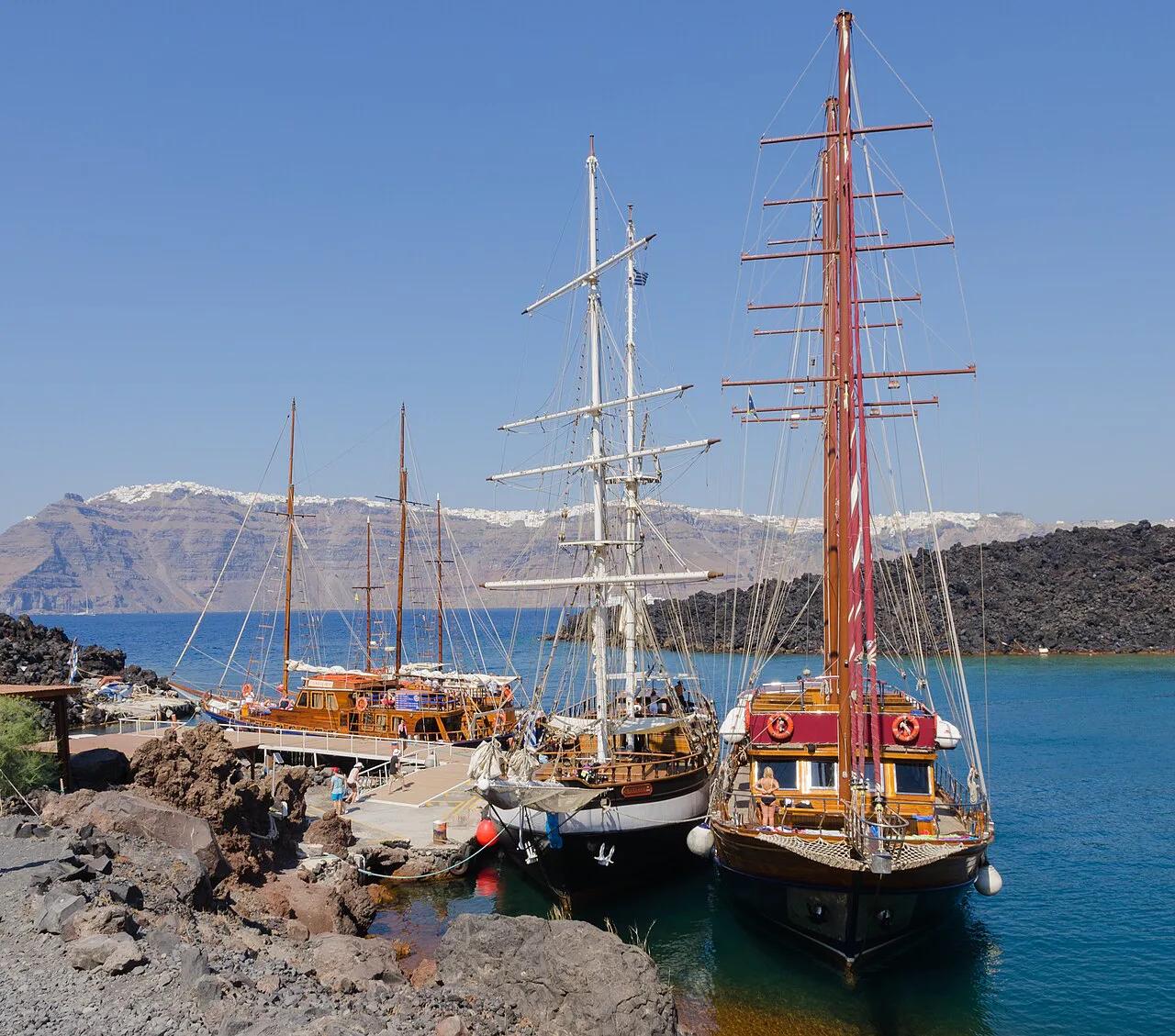
| Nea Kameni | Yes, by boat landing | Tour boat or cruise from a caldera port | Which Parts You Can Visit |
| Palea Kameni | View, plus a swim stop on some trips | Boat only | Which Parts You Can Visit |
| Thirasia | Yes, it is an inhabited island | Boat from a caldera port | What the Map Shows |
| Aspronisi | View only | Seen from the water or the rim | What the Map Shows |
| Kolumbo (submarine volcano, northeast of Thira) | No, it is underwater | Not accessible to visitors | Safety and Common Mistakes |
| Akrotiri (buried Bronze Age site) | Yes, on Thira's south coast | Road | What the Map Shows |
- If you only look at one thing: stand on the caldera rim at Fira or Imerovigli to see the whole layout at once.
- If you only visit one site: Nea Kameni, the one volcanic islet with a walking route.
What the Map Shows: Caldera, Islets and Rim
The ring is the edge of a caldera, the basin left when a huge eruption emptied the magma chamber and the ground collapsed. Our caldera guide covers how that shape reads from each village. The eruption responsible is the subject of our Minoan eruption article. Those cliffs also explain why Santorini has no beaches facing the inner bay and why the harbors sit at the bottom of steep slopes.
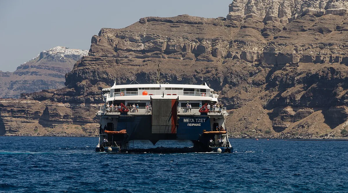
The volcano's active part is in the middle. Nea Kameni and Palea Kameni are the exposed tops of younger volcanic cones. Kolumbo lies underwater off the northeast coast of Thira, so it appears on volcano maps but offers nothing to see from land. Akrotiri, on the south coast, is the buried Bronze Age settlement. It belongs on a map of the eruption's effects, not on the boat route.
Which Parts of the Volcano You Can Actually Visit
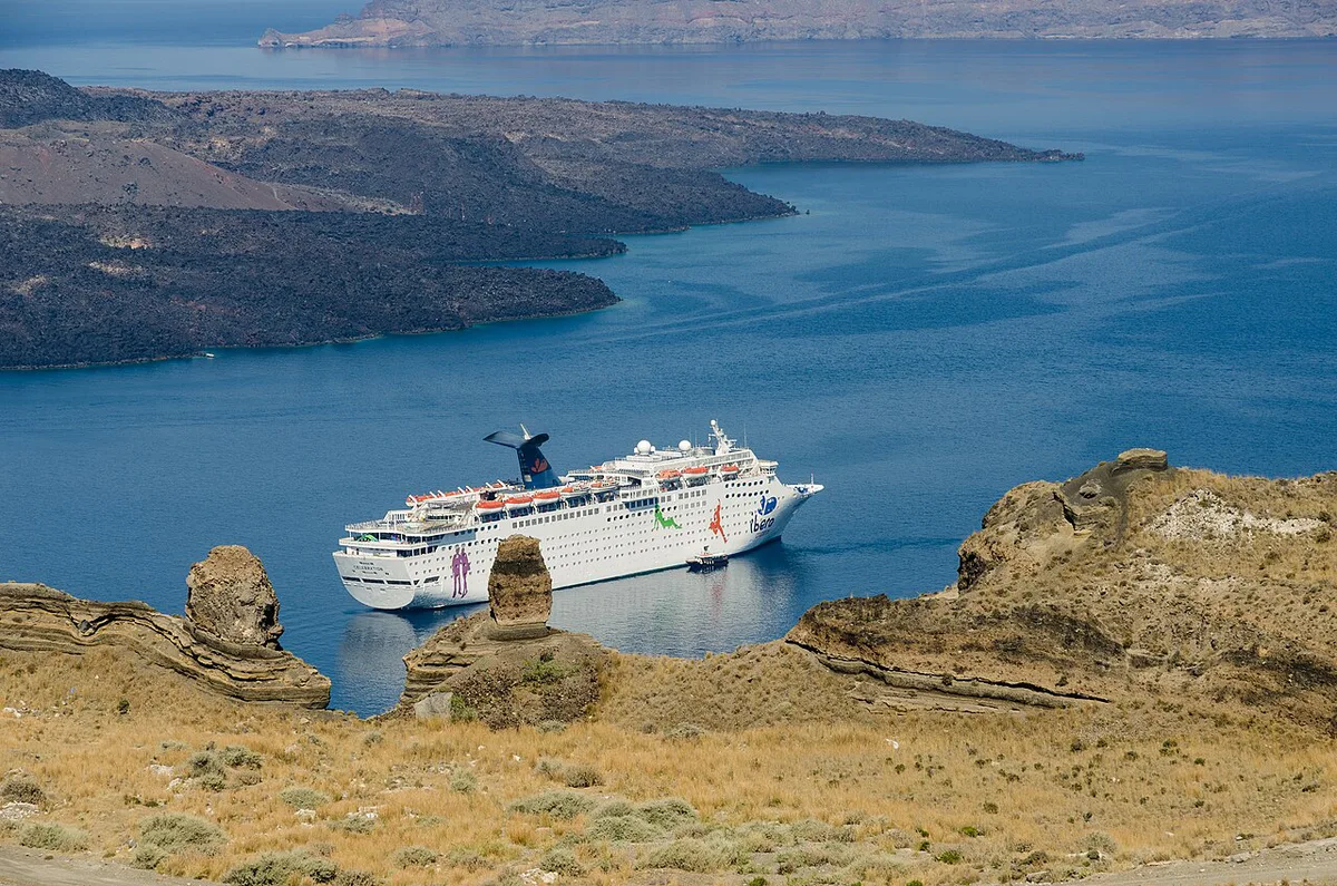
Nea Kameni is the main answer. Boats land visitors there, and a marked path leads across dark lava and past craters. Our Nea Kameni visitor guide covers the walk itself. Expect bare rock, sulfur smell and almost no shade, so closed shoes and a hat matter more than a camera.
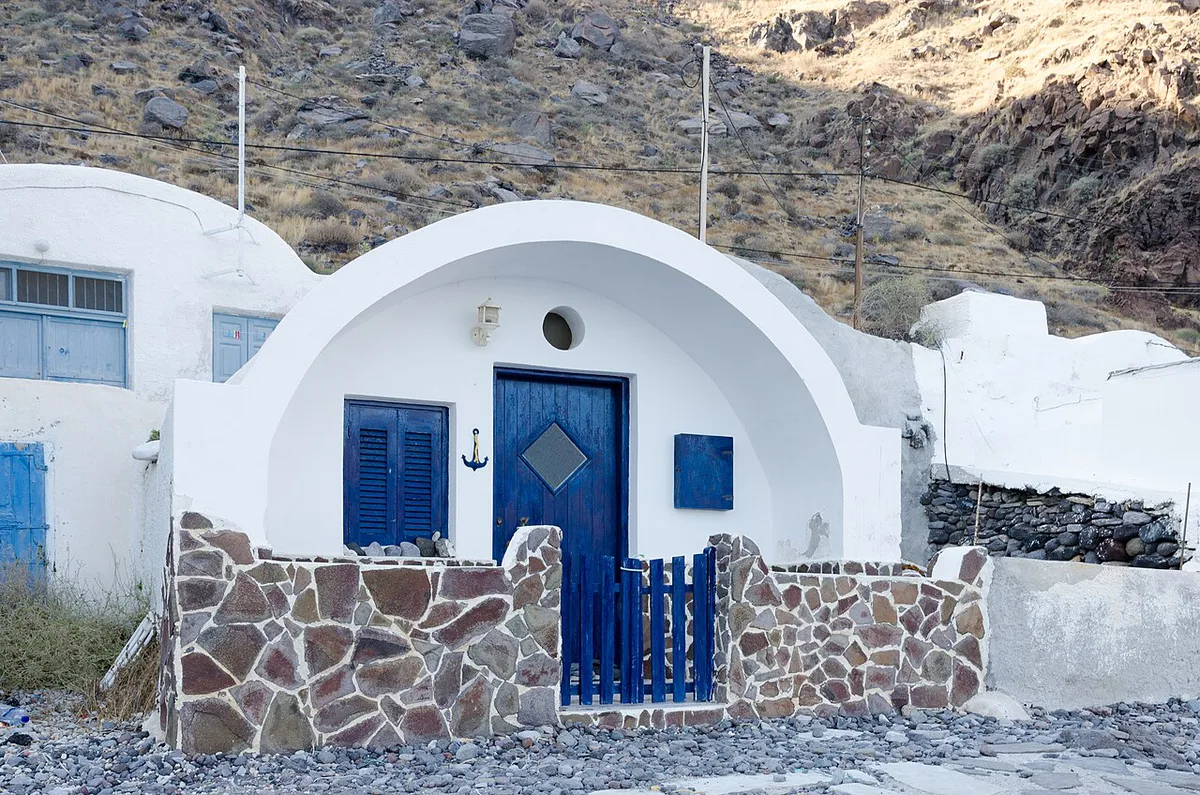
Palea Kameni is the neighboring islet. Many trips pause near it for the hot springs, where warm, rust-colored water meets the sea. Our hot springs guide explains the swim stop. Thirasia is a populated island with its own village and harbor, so it suits a quieter half-day. Aspronisi and Kolumbo stay view-only.
A caldera-rim viewpoint needs no boat. Walking the cliff path between Fira and Imerovigli gives the clearest read of the ring and the islets.
How to Reach the Volcano: Departure Points and Options
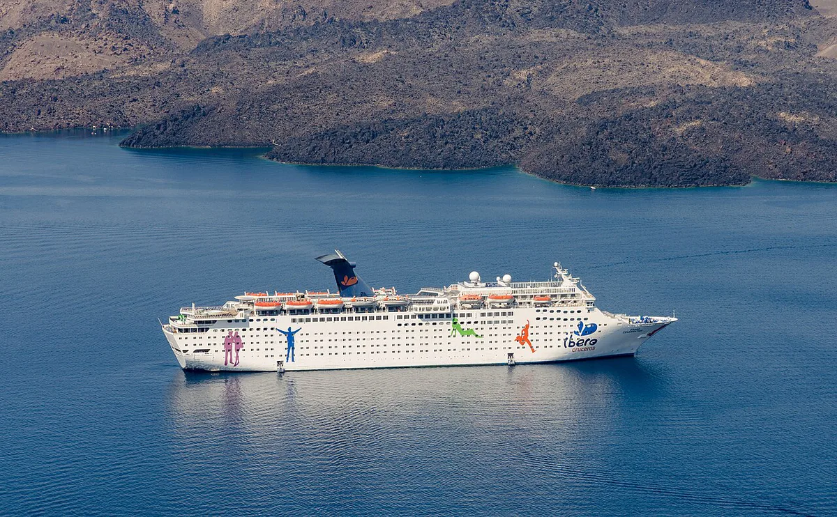
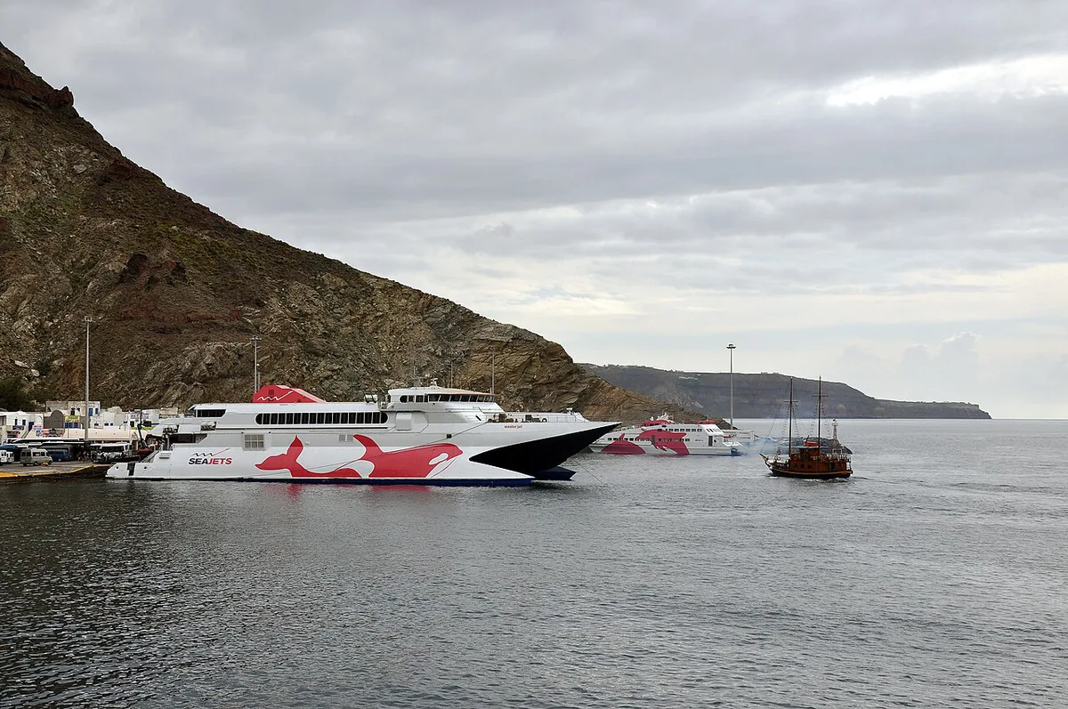
Boats serve the caldera from a few harbors. Fira Skala is the old port directly below Fira, reached by cable car, steps or donkey path. Ammoudi is the small harbor below Oia, at the northern end. Athinios is the island's main ferry port, and Vlychada is a marina on the south coast. Which departure a given trip uses depends on the operator, so read the meeting point on your booking before you plan the morning.
| Option | What you see | Lands on Nea Kameni? | Effort | Best for |
|---|---|---|---|---|
| Rim viewpoint | Whole ring and islets from above | No | Low | Short stays and photographers |
| Guided volcano tour | Nea Kameni, often the hot springs | Yes, typically | Medium | First-time visitors wanting an explanation |
| Catamaran cruise | Caldera coast, swim stops, often Thirasia | Varies by itinerary | Low | Relaxed days with food and swimming |
| Independent boat trip | Islets at your own pace | Varies | Medium | Small groups with flexible schedules |
Choosing Your Route: Time, Cost and Access Trade-Offs
A rim walk costs nothing but time and shoe leather. A boat to Nea Kameni adds the landing and the hike. Operators set their own prices and durations, so compare the itinerary text rather than headline fares. Our volcano tour comparison sets out what a typical trip includes. For a longer, softer day on the water, see our catamaran cruise guide.
| Route | Time commitment | Cost level | Skip if |
|---|---|---|---|
| Rim walk | Low to medium | Free | You want to touch volcanic ground |
| Volcano and hot springs tour | Medium | Medium | You dislike heat or sulfur smell |
| Catamaran cruise | High | High | You want a focused volcano visit |
| Independent boat | Varies | Varies | Seas are rough |
Where to Stay for Caldera and Harbor Access
Fira puts you closest to the cable car and Fira Skala, so a morning boat departure is straightforward. Imerovigli sits on the rim between Fira and Oia and works well for rim walks and sunsets. Oia is the choice for Ammoudi departures and the northern end of the ring. Staying away from the cliff, toward the south coast, gives easier road access to Akrotiri and Vlychada.
Safety, Conditions and Common Mistakes
Santorini's volcano is a monitored system, and the Institute of Geodynamics at the National Observatory of Athens publishes activity information. Our volcano activity guide explains current status in plain terms. Earthquake background is in our earthquake explainer. Strong wind can cancel or reroute boats, so ask your operator about weather plans. General destination context is on Visit Greece's Santorini page.
- Expecting a mountain cone: the volcano is the bay itself, with two small islets at its center.
- Wearing sandals on Nea Kameni: lava rock is sharp and shade is minimal.
- Booking a hot springs trip without checking the swim stop: not every itinerary includes it.
- Assuming every village reaches every islet: boats leave from specific harbors, so check your meeting point.
Frequently Asked Questions
What kind of volcano is Santorini?
Santorini is a caldera volcano, meaning a collapsed crater now filled by sea. Nea Kameni and Palea Kameni are young cones inside it. Our volcano overview covers the geology.
Can you swim in the ocean in Santorini?
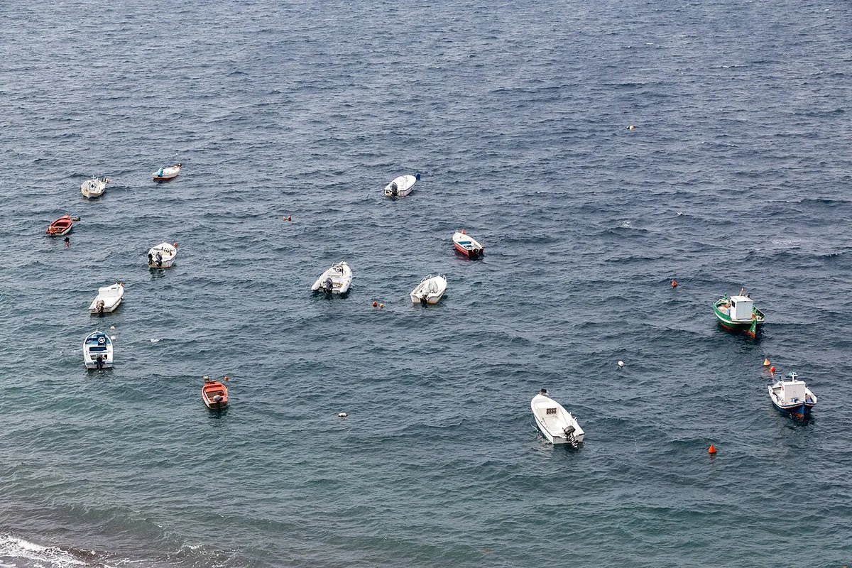
Yes, and several caldera cruises include swim stops. Boats usually pause near Palea Kameni for the hot springs. Sea conditions change daily, so follow your crew's advice.
Is it safe to visit Santorini now?
Visitors tour Nea Kameni and the rim routinely. Activity is tracked by Greek monitoring institutions, and our current activity page explains how to read the status.