Minoan Eruption: What Happened, When, and What to See
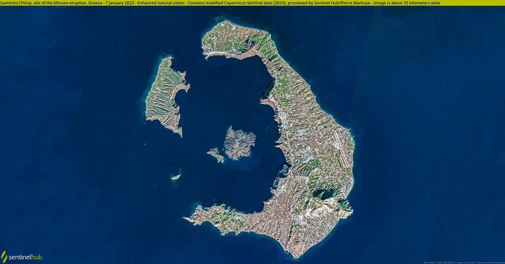
Last updated November 2026: the Minoan eruption was a catastrophic Plinian eruption of the Thera volcano on Santorini, dated by radiocarbon to around 1600 BC, and the exact date is still debated. It rated VEI 7 and formed the modern caldera. Below you get the sequence in order, the dating argument, the damage across the Aegean, and the places on Santorini where the evidence is visible.
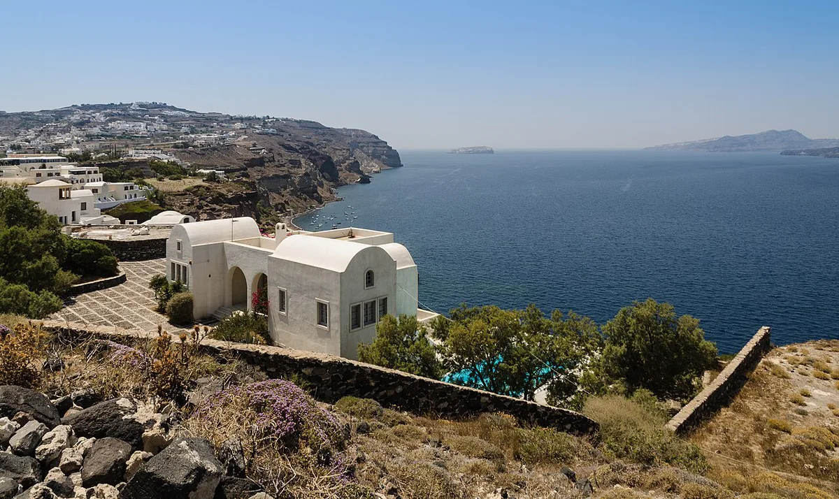
Featured image: Norbert Nagel, CC BY-SA 3.0, via Wikimedia Commons.
Minoan Eruption Quick Answer
Thera erupted violently in the Late Bronze Age. It buried the Minoan town at Akrotiri and left the flooded caldera that defines Santorini's shape today. For the wider story of the island's volcano, start with our Santorini volcano overview.
- Type and size: a Plinian eruption rated VEI 7, among the largest volcanic events in human history.
- Volume: a 2015-2019 marine study puts the output at 28-41 km³ of dense-rock equivalent (DRE).
- Eruption column: roughly 30-35 km (19-22 miles) high, reaching the stratosphere.
- Date: radiocarbon points to the 17th century BC, while archaeology points to roughly 1550-1480 BC.
What Happened: The Eruption in Four Phases
Volcanologists have identified one minor precursory ash fall and four major phases. The first ash layer was thin and shows no sign of winter-rain erosion before the next layer arrived. That pattern suggests the island had a few months of warning. Some evidence also points to one or more earthquakes that damaged settlements beforehand, which you can read about in our guide to earthquakes on Santorini. Treat the warning period as inference rather than certainty. Akrotiri has yielded no human remains, which fits an evacuation. The final two phases emptied the magma chamber and collapsed the roof above it. Our page on the Santorini Caldera: How It Formed, Safety & Best Ways to See It explains how that ring of cliffs looks today.
| Phase | What occurred | What survives to see today |
|---|---|---|
| Precursory fall | Thin ash fall and possible earthquakes, probably prompting people to leave | A thin ash layer at the base of the sequence |
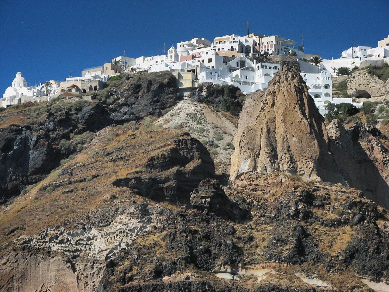
| Phase 1 (Plinian) | Intense column deposited up to 7 m (23 ft) of pumice and ash; buildings buried with limited damage | White pumice and ash bands in cliff faces |
| Phases 2-3 | Pyroclastic surges and lava fountaining, possible tsunamis, start of caldera collapse; unburied structures destroyed | Surge deposits layered above the pumice |
| Phase 4 | Base surges, lava flows, lahars and ash fall; caldera collapse completed, with megatsunamis | The caldera rim and the flooded bay |
How Big Was the Eruption?
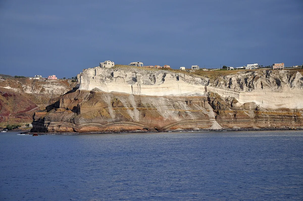
Most of the erupted material landed in the sea, so volume is hard to measure. Published estimates range from 13 to 86 km³ DRE, which is a wide gap. The 2015-2019 marine survey narrowed it to 28-41 km³ DRE. Within that total, the opening Plinian phase was the largest single pulse at 14-21 km³, about half of everything erupted. On Santorini itself, a white tephra layer about 60 m (200 ft) thick covers the pre-eruption ground. Researchers compare the event with Tambora in 1815 and the Samalas eruption of 1257. Both rank among the largest eruptions of the past two thousand years. Whether such an event could repeat is covered in our guide to whether Santorini is active. Monitoring data comes from the Institute of Geodynamics at the National Observatory of Athens.
When Did the Minoan Eruption Happen? The Dating Debate
Two methods give dates roughly a century apart. Radiocarbon samples from Akrotiri, including a buried olive branch, favor the late 17th century BC. Archaeology links pottery styles and stone vessels to Egyptian chronology, and that points to roughly 1550-1480 BC. Calibration is the sticking point. Raw radiocarbon dates must be adjusted against a curve, and in 2018 tree-ring scientists reported an offset of a few decades in earlier curves for 1660-1540 BC. The updated IntCal20 curve still allows a 17th-century eruption. It also makes much of the 16th century BC possible, which narrows the gap. Ice-core and tree-ring signals once tied to Thera have been reassigned in several cases, including a spike now linked to Mount Aniakchak. No one has settled the exact year. Be wary of any page that gives a single confident date.
Impact on Akrotiri, Crete and the Aegean
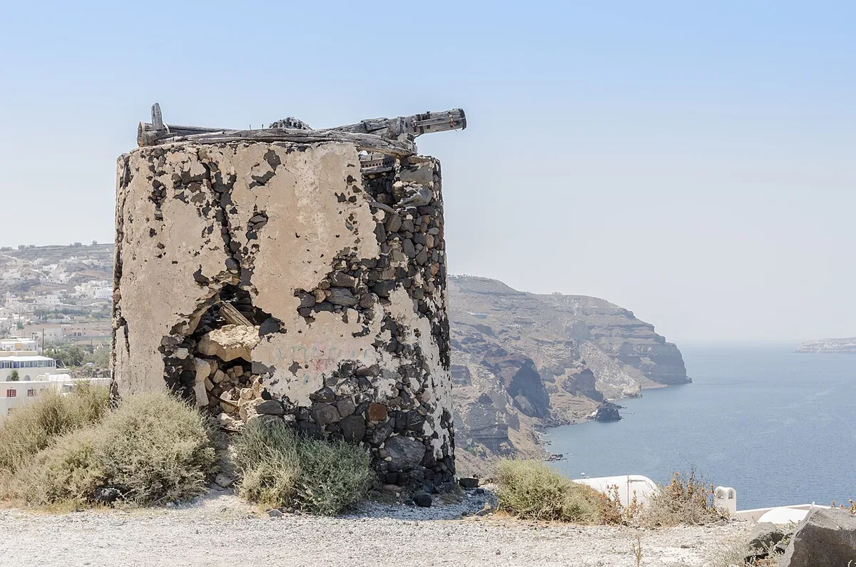
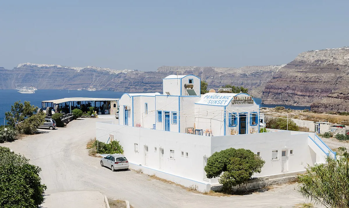
Akrotiri, the Bronze Age town on Santorini's southern coast, was buried under pumice and ash. Its multi-story buildings survive because the first phase covered them gently. Evidence of death is absent, so the town was probably evacuated before the main blasts. Farther away, ash layers about 3 m (10 ft) deep lie on Anafi, 27 km (17 miles) east. Tsunami deposits appear along northern Crete, 110 km (68 miles) away, and building walls at Amnisos were knocked out of alignment. Estimates of wave height range from 35 to 150 m (115-492 ft). A deposit at Palikastro on Crete's northeast tip suggests about 35 m, according to a Penn State hazards course. Simulations struggle to reproduce a very large wave, so size remains disputed. Ash found on Crete came from the early precursory phase and had little impact. Claims of Santorini ash in the Nile Delta were a misidentification.
Anafi, 27 km (17 miles) east of Santorini, sits under ash about 3 m (10 ft) deep, while Akrotiri's walls survived a gentler first pulse.
Did It End Minoan Civilization? What Is Debated
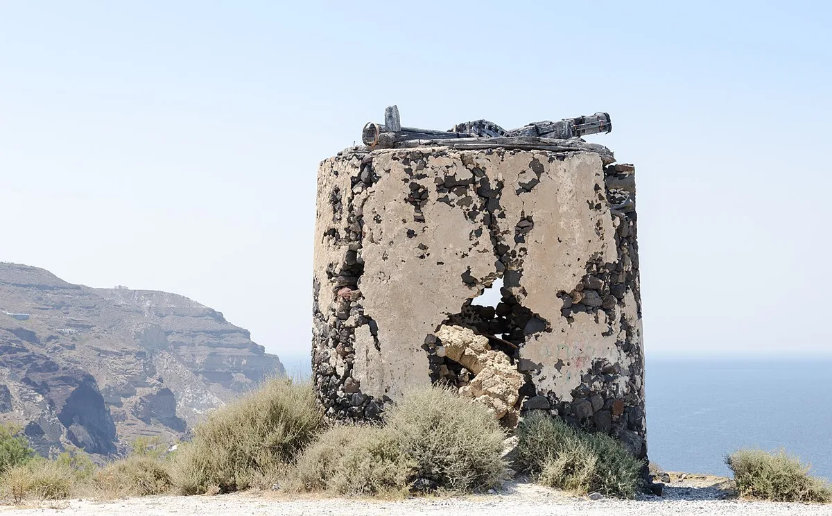
Minoan palace culture on Crete declined around this period, but the eruption was probably not the sole cause. Researchers have proposed ashfall on farmland, earthquakes and tsunamis as damaging factors. Evidence for each is partial, and the tsunami's real impact on Minoan ports is still argued. Several other hypotheses attach to the eruption, and all are speculative. One idea links the Egyptian Tempest Stele to the eruption, but recent radiocarbon work disputes it. Plato's Atlantis story is another popular link, which we weigh in our Atlantis guide. Chinese records of yellow skies and summer frost and Exodus-era readings are likewise unproven.
| Settled | Still debated |
|---|---|
| Thera erupted violently in the Late Bronze Age | Exact year of the eruption |
| The eruption formed the modern caldera | True volume, within the 13-86 km³ DRE range |
| Akrotiri was buried and abandoned | Height and impact of the tsunami |
| Tephra from Thera is a marker layer across the eastern Mediterranean | Its causal role in the decline of Minoan Crete |
See the Minoan Eruption Evidence on Santorini
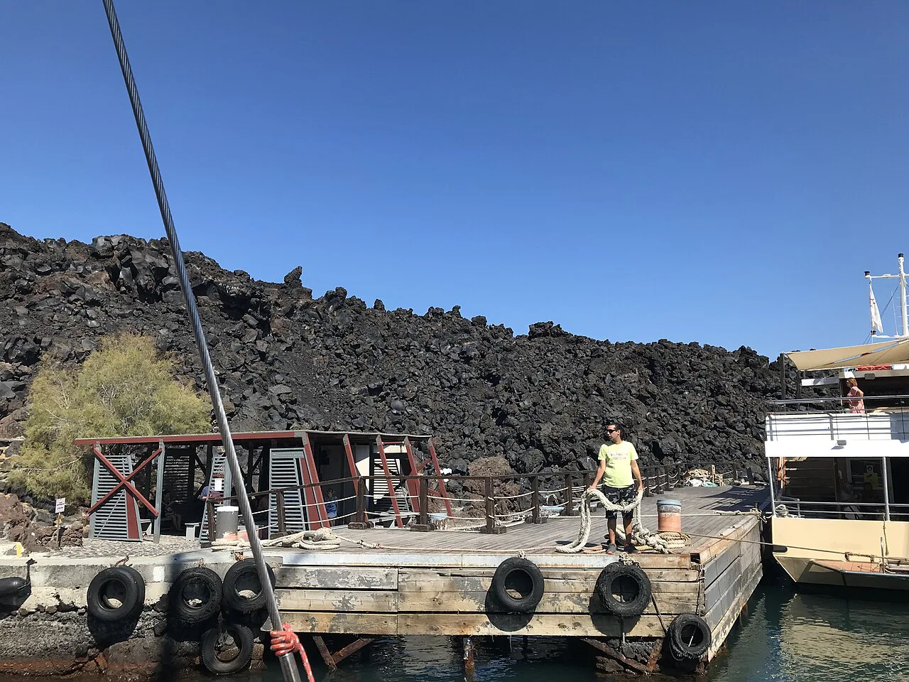
Your best choice depends on time, mobility and season. Summer heat is strong at exposed archaeological sites, and boat departures depend on weather and sea conditions. Prices, hours and access change, so check official pages such as Visit Greece's Santorini page and Greek Ministry of Culture notices before you book. Our Santorini Volcano Map: Where It Is & How to Visit helps you orient the sites below. Nea Kameni formed after the Minoan eruption, so the volcano you walk on is a later cone and not the Bronze Age one. Choose Akrotiri first if you only have time for one stop. A half day covers Akrotiri plus the museum. A full day adds a caldera boat trip.
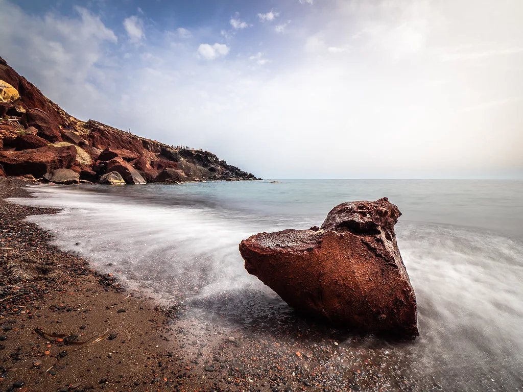
Red Beach and the tephra cliffs show the depth, where a white layer about 60 m (200 ft) thick covers the pre-eruption ground.
| Site | What it shows | Best for | Trade-offs |
|---|---|---|---|
| Akrotiri archaeological site | The buried Bronze Age town | Anyone with a half day | Check hours, ticket price, shade and accessibility with the official source |
| Museum of Prehistoric Thera, Fira | Finds from Akrotiri | Families and low-mobility visitors | Check current opening status |
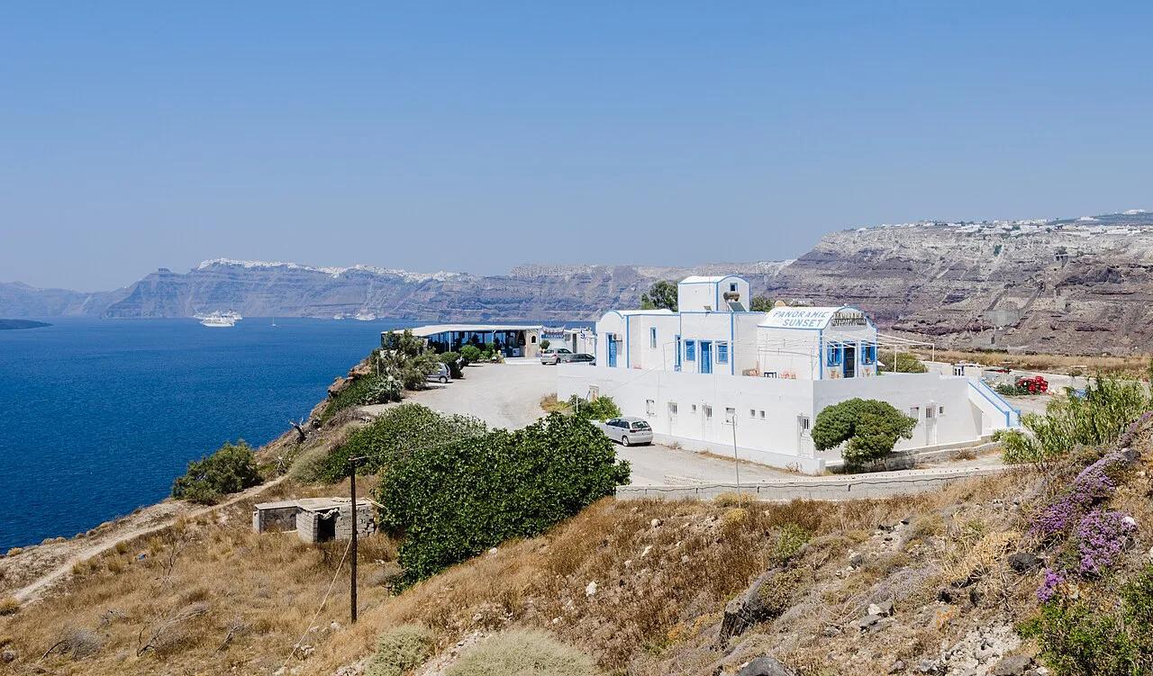
| Caldera viewpoints at Fira, Oia and Imerovigli | Scale of the collapse | Free, short visits | Crowded at sunset |
| Nea Kameni boat trip | A young volcanic island that grew after the eruption | Visitors who want to walk on a crater | Weather and sea conditions can cancel sailings; uneven walking |
| Red Beach and tephra cliffs | Pumice and ash layers up to 60 m thick on the island | Geology fans | Check access and rockfall closures before going |
- Book a guided trip to the crater with a Santorini volcano tour.
- Choose a sailing with swim stops on a catamaran cruise.
- Read about Nea Kameni's crater walk before you pick a boat.
- Add a swim at the hot springs near the caldera if your trip includes one.
- Mistake to avoid: do not treat Atlantis as established fact.
- Mistake to avoid: do not assume the eruption alone ended the Minoans.
Sources and Further Reading
Start with institutional sources for hard figures and current visitor information.
- National Observatory of Athens, Institute of Geodynamics: monitoring and hazard research.
- Santorini official site: local visitor information and museum listings.
- Visit Greece: Santorini: national tourism overview.
- Peer-reviewed marine-survey and Palikastro tsunami papers, plus IntCal20 calibration reviews, for the numbers cited above.