Santorini Caldera: How It Formed, Safety & Best Ways to See It
Last updated November 2026. The Santorini caldera is a mostly submerged volcanic basin in the southern Aegean, ringed by cliffs of about 300 m (980 ft). Repeated eruptions shaped it, and the latest major collapse is tied to the Minoan eruption about 3,600 years ago. You see it from the cliff-edge towns, from the water, or on foot across Nea Kameni, and our broader volcano overview covers the wider story.
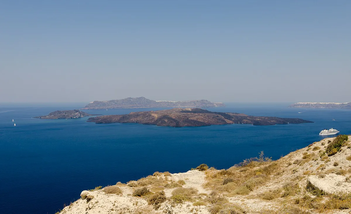
Featured image: Dietmar Rabich, CC BY-SA 4.0, via Wikimedia Commons.
What the Santorini Caldera Is (and Why It Looks Like This)
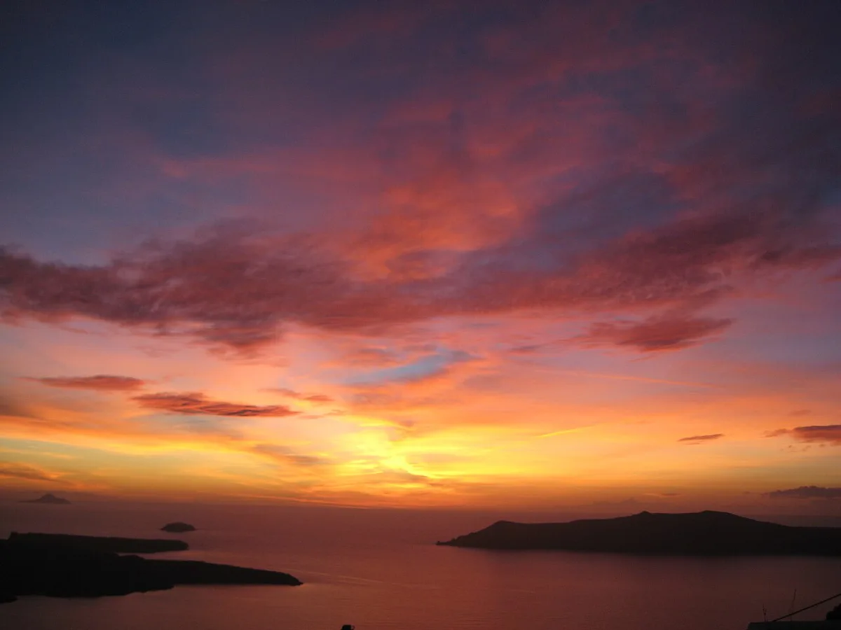
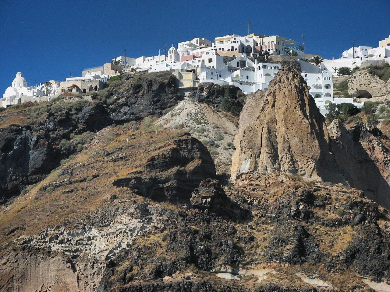
A caldera is a crater-shaped depression left when a volcano's emptied magma chamber collapses. At Santorini (also called Thira), the sea flooded that depression. What you see today is a ring of islands around a water-filled basin. Thira forms the long eastern rim, Therasia and tiny Aspronisi sit on the western edge, and the young lava islands of Nea Kameni and Palea Kameni rise near the center. Published sizes differ by source and by which axis is measured. One figure gives roughly 12 by 7 km (7.5 by 4.3 miles), while the IUGS geoheritage listing gives 8 by 11 km (5 by 6.8 miles). Treat it as a basin roughly 4 to 7.5 miles across. Maximum depth is reported at 385 m (1,263 ft) in the northern basin. The cliffs on three sides reach about 300 m, and their layers of lava, pumice and buried soils are the reason geologists call the place a living laboratory for volcano monitoring. Whitewashed villages sit along the top of those walls.
How the Caldera Formed
Santorini has had several overlapping calderas rather than one. The oldest southern caldera dates to about 180,000 years ago. The Skaros caldera followed about 70,000 years ago, and the Cape Riva caldera about 21,000 years ago. The current basin formed about 3,600 years ago in the Minoan eruption. NASA describes that event as hurling ash tens of kilometers into the air and unleashing debris flows and tsunamis. Ash several meters thick buried the Bronze Age town of Akrotiri, and archaeologists have excavated the site since 1967. Our guide to the Bronze Age eruption in detail follows the timeline step by step. Some writers link the event to the Atlantis legend, and the Atlantis connection is covered separately. Nea Kameni and Palea Kameni are much younger. They grew from smaller, less explosive eruptions beginning about 2,000 years ago.
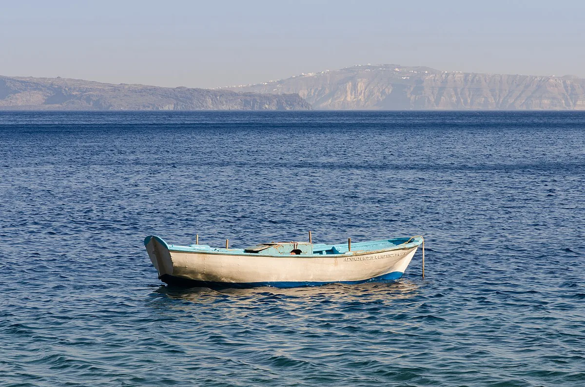
Is the Santorini Caldera Still Active? What Visitors Should Know
Santorini is dormant but classed as an active volcano. The last eruption on the Kameni islands ran from January to February 1950. Since then only gas vents (fumaroles) have been recorded inside the recently active craters. A new unrest phase began in July 2024. The most intense earthquake sequence struck near the islet of Anydros, about 30 km (19 miles) northeast of Santorini, in late January and early February 2025. Reports say about 11,000 people left the island during that period. A smaller swarm began on June 15, 2025, and ended about three months later. Scientists reported that magma stayed more than 5 miles (8 km) underground. That is what is known as of November 2026. It does not predict what happens next. The Institute of Geodynamics at the National Observatory of Athens publishes seismic monitoring and updates, and Greek civil protection announcements carry any official advisories. Check both before booking and again before departure. Our guide asks whether the volcano is active in more depth. A separate page covers earthquake risk on the island.
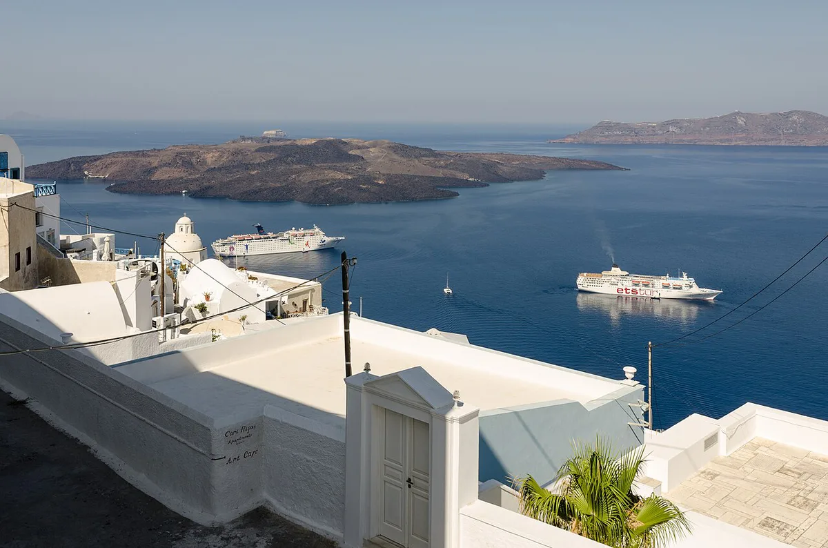
Ways to See the Caldera: Rim, Boat, Nea Kameni, Hot Springs
Each vantage shows something different. The rim gives scale and the layered cliff strata, and the water shows the cliffs towering above you. Nea Kameni puts you on the lava itself. Costs below are relative tiers, so check current operator prices.
Rim walks follow cliffs of about 300 m (980 ft), so expect many steps between the caldera towns.
| Option | What you see | Effort | Weather and sea risk | Cost tier | Best fit |
|---|---|---|---|---|---|
| Rim walk or viewpoint | Full ring of cliffs, islands, sunset | Low to moderate; many steps | Low; haze or cloud can limit views | Free | Everyone, including short stays |
| Boat or catamaran cruise | Cliff strata from below, lava islands, Therasia | Low once aboard | High; rough seas can cancel trips | Mid to high | Photographers, groups, sunset seekers |
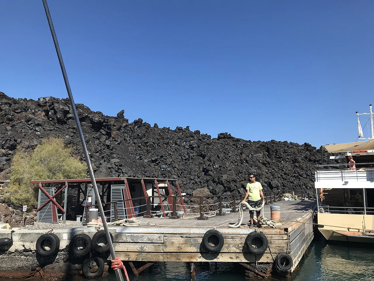
| Guided Nea Kameni visit | Craters, fumaroles, lava fields | Moderate; rocky, exposed climb | High; heat and sea state | Mid | Active travelers with sturdy shoes |
| Hot springs stop | Volcanic water beside Palea Kameni | Low | Moderate; depends on sea state | Often bundled with a boat trip | Families and relaxed pacing |
| Caldera-view room | Daily views from your terrace | Low | Low | High | Couples, special occasions |
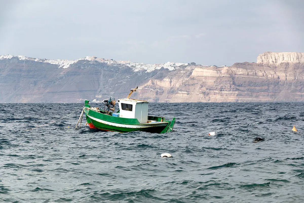
- For the boat option, read our guide to a catamaran cruise on the caldera.
- For the crater walk, see our guided volcano tour overview.
- For the island itself, walking Nea Kameni's craters explains what to expect on the lava.
- For the swim stop, read about the volcanic hot springs stop.
Caldera-Side Towns Compared: Fira, Firostefani, Imerovigli and Oia
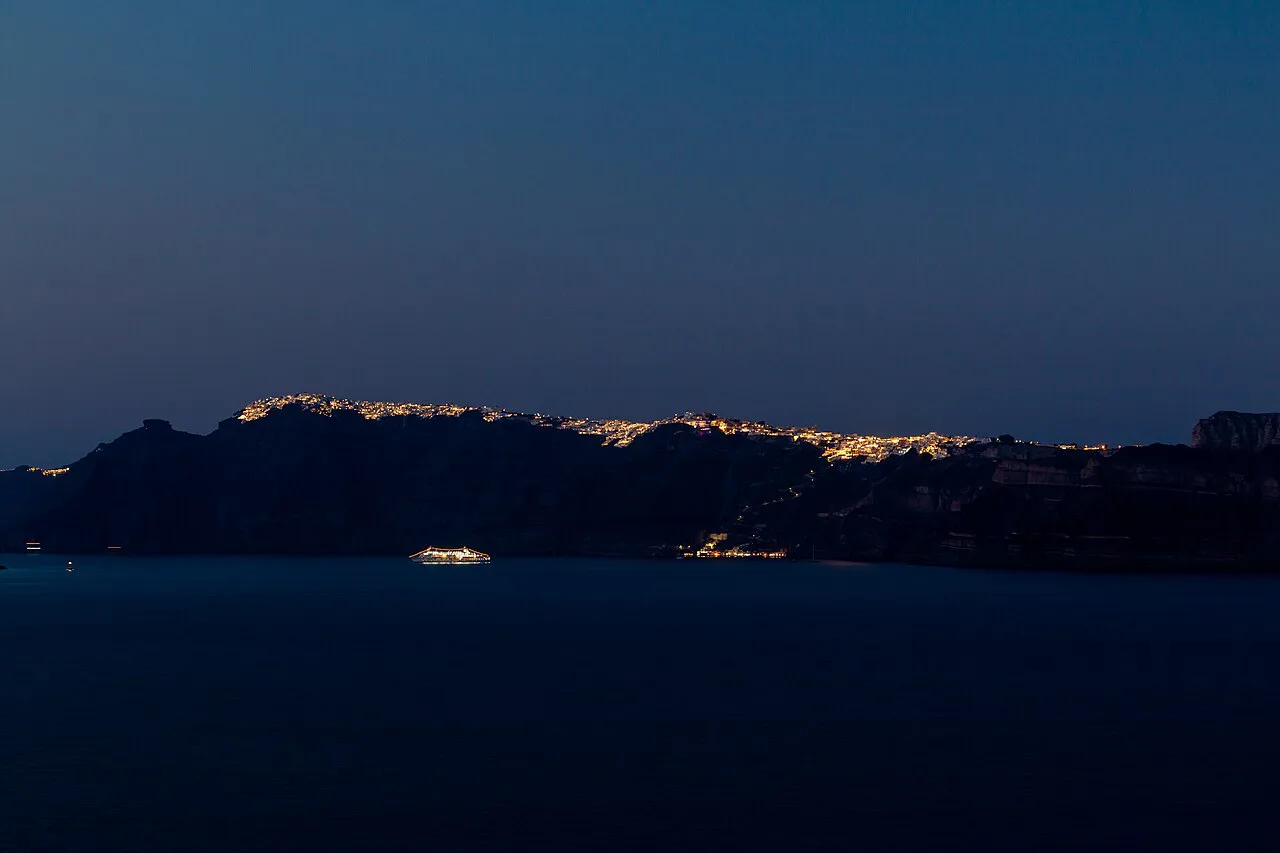
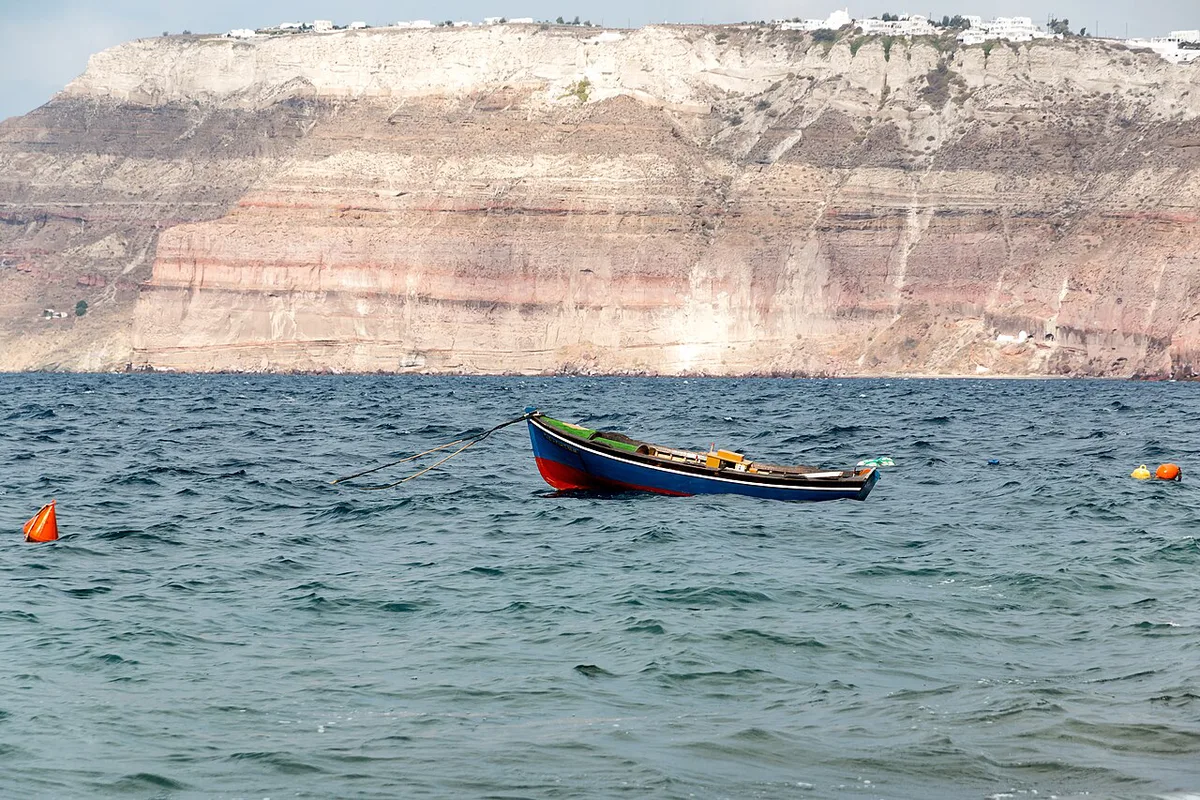
Fira, Firostefani, Imerovigli and Oia are the four caldera-rim towns. All sit on the cliff edge and face the flooded basin. Fira is the island's largest town and modern capital, so it has the most services and the heaviest foot traffic. Oia is usually the busiest at sunset. Firostefani and Imerovigli sit between them and tend to feel calmer. Sunset access and stair counts vary lane by lane, so look at your exact address before booking. Confirm the bus or taxi connection for any town you choose, because road access differs from the cliff paths.
| Town | Views | Crowds | Stairs and walking | Best for |
|---|---|---|---|---|
| Fira | Wide caldera panorama | Highest daytime activity | Many steps; central hub | Services, transport, nightlife |
| Firostefani | Quieter rim outlook | Moderate | Walkable to Fira along the rim | Balance of views and calm |
| Imerovigli | High rim position | Lower than Fira and Oia | Steps vary by property | Quiet stays with big views |
| Oia | Classic sunset outlook | High around sunset | Narrow lanes and stairs | Sunset watching, photography |
When to Go and How to Plan Your Time
Sea conditions, not rim views, decide most plans. Rough water can cancel boat trips, and wind affects how easy the hot springs stop is. Midday heat makes Nea Kameni's exposed rock harder, so favor morning or late-afternoon slots. Crowds at sunset viewpoints thin out in shoulder season, though sea and ferry conditions are less predictable. These are general patterns, not guarantees. Use the plans below as suggestions.
- Half day: walk the rim between Fira and Firostefani, then take a sunset viewpoint.
- One day: combine a morning boat or Nea Kameni trip with an afternoon rim walk and sunset.
- Multiple days: add a catamaran cruise, a rest day for weather slack, and a visit toward Imerovigli or Oia.
- Our volcano map of the island helps you place each stop.
Where to Stay for Caldera Views (and Whether You Need One)
You do not need a caldera-view room to see the caldera. Rim walks, cruises and Nea Kameni trips work from any base. A cliff-edge room does give daily views and sunset from your terrace, and those cost more than inland areas. Many hotels sell a vague "caldera view". Check recent guest photos from the actual room, and confirm whether the view is straight on or side-angled. A caldera-view listing that hides the view in the last photos often lacks one. If views matter less than budget, stay in a cheaper area and plan your caldera time by day.
Getting Around and Accessibility
Access along the cliffs involves many steps, and limited-mobility visitors should plan carefully. Cable car, donkey path and walking routes between the port and Fira each have different operating details. Boat boarding and tender logistics also change with the sea. Current schedules and fees are not confirmed here, so check Visit Greece's Santorini page and the operators before you travel.
Common Mistakes to Avoid
Most disappointments come from avoidable planning errors.
In the 2025 unrest, reports say about 11,000 people left the island during that period, so check updates close to departure.
- Assuming every Santorini hotel has a caldera view.
- Booking a caldera-view room without checking photos of the actual view.
- Wearing sandals or thin shoes on Nea Kameni's rocky, exposed path.
- Visiting Nea Kameni in midday heat.
- Treating the caldera as only a sunset spot and skipping a boat or crater visit.
- Skipping official monitoring updates before travel.
Frequently Asked Questions
How deep is the water in Santorini caldera?
Maximum depth is reported at about 385 m (1,263 ft) in the northern basin. The southern basin is shallower at about 290 m.
Can you swim in the caldera in Santorini?
Swimming is usually offered at a hot springs stop on boat trips, but it depends on sea conditions and the operator. Ask your operator about swim stops when you book.