Ben Nevis Volcano: Geology and Visiting Guide
Last updated November 2026. The Ben Nevis volcano is extinct, and what you see today is its worn-down remains. At 4,406 ft (1,344 m), Ben Nevis is the highest mountain in Britain, and its summit rocks record a collapsed volcano from the Devonian period. Scotland's other volcanic sites are mapped in our guide to Scotland's volcanic sites.
Featured image: Julian Nyča, CC BY-SA 3.0, via Wikimedia Commons.
Is Ben Nevis a Volcano?
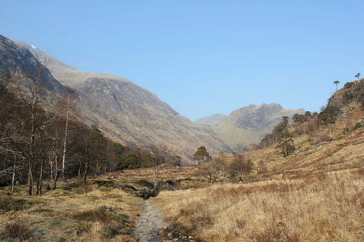
Ben Nevis is not an active volcano, and nothing is erupting or will erupt. According to the British Geological Survey, the mountain is the eroded core of a volcano generally dated to the Devonian period, roughly 400 million years ago. Over that span, ice and weather stripped away the original cone. What remains are the deep roots: lava that sank into a collapsed crater, plus granite that pushed up beside it. Do not confuse it with Nevis Peak, a separate volcanic mountain on the Caribbean island of Saint Kitts and Nevis. This page covers the Scottish mountain above Fort William, in the Highlands. For the wider picture, see our overview of volcanic sites across the UK.
How Ben Nevis Formed: A Short Geology Timeline
Geologists read Ben Nevis as a sequence of events, not a single eruption. Ages below are broad, and the BGS is the place to check detail.
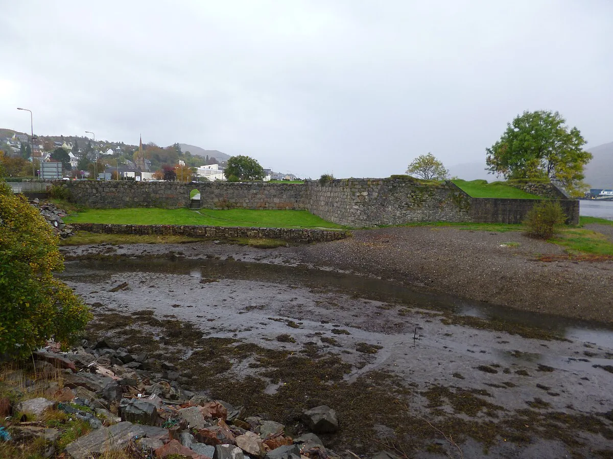
| Stage | What happened | What it left behind |
|---|---|---|
| 1. Eruption | A Devonian volcano built up layers of lava and ash | Volcanic rock that now forms the summit |
| 2. Caldera collapse | The roof of the magma chamber sank along a ring-shaped fault | A block of lava dropped inside the fault, which is why it survived |
| 3. Granite intrusion | Molten rock cooled slowly underground beside the collapsed block | Granite on the flanks of the mountain |
| 4. Glaciation and erosion | Ice and weather removed the volcano above | The cliffs and the 4,406 ft summit you see today |
Where to See the Volcanic Geology
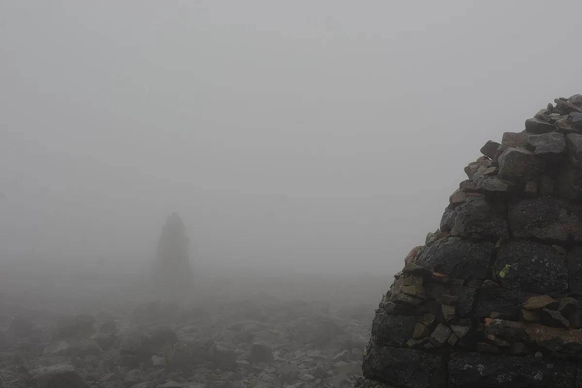
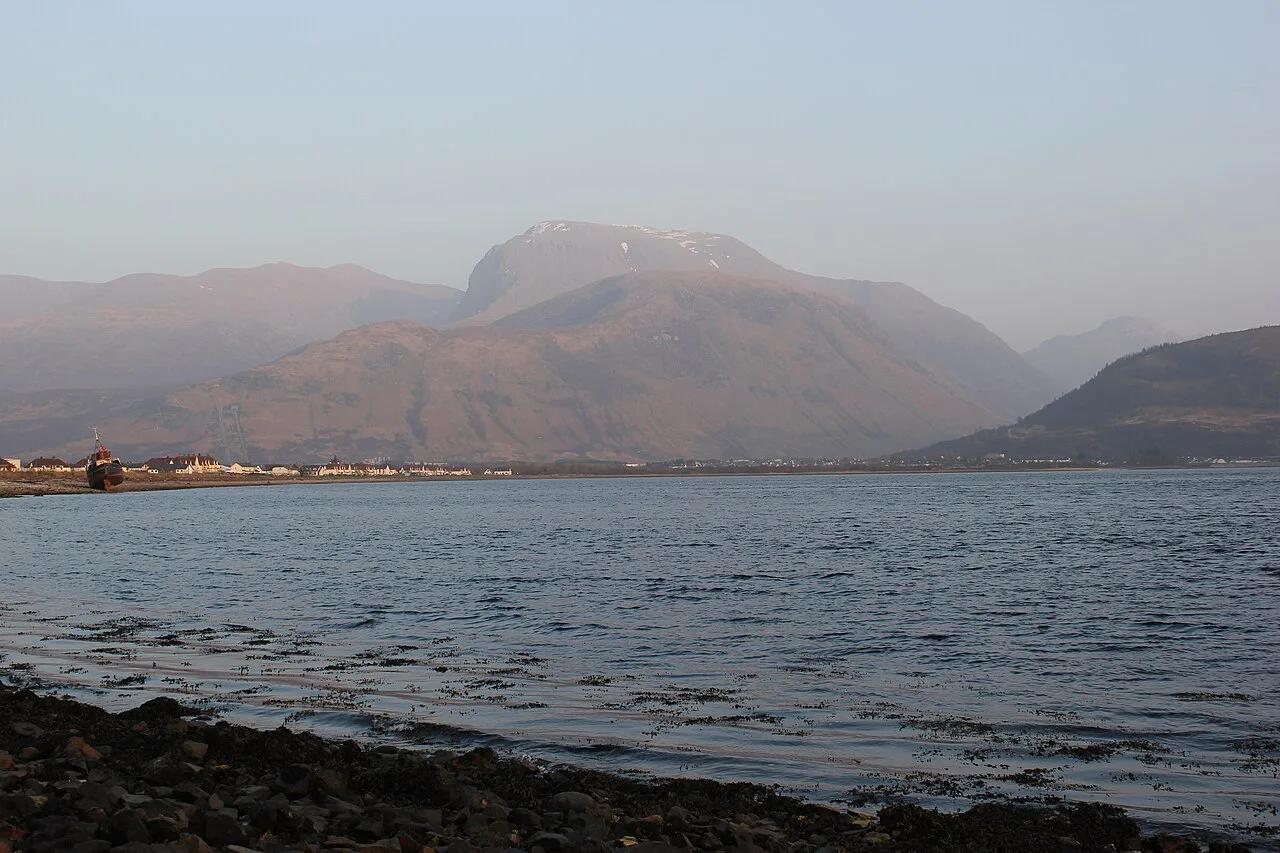
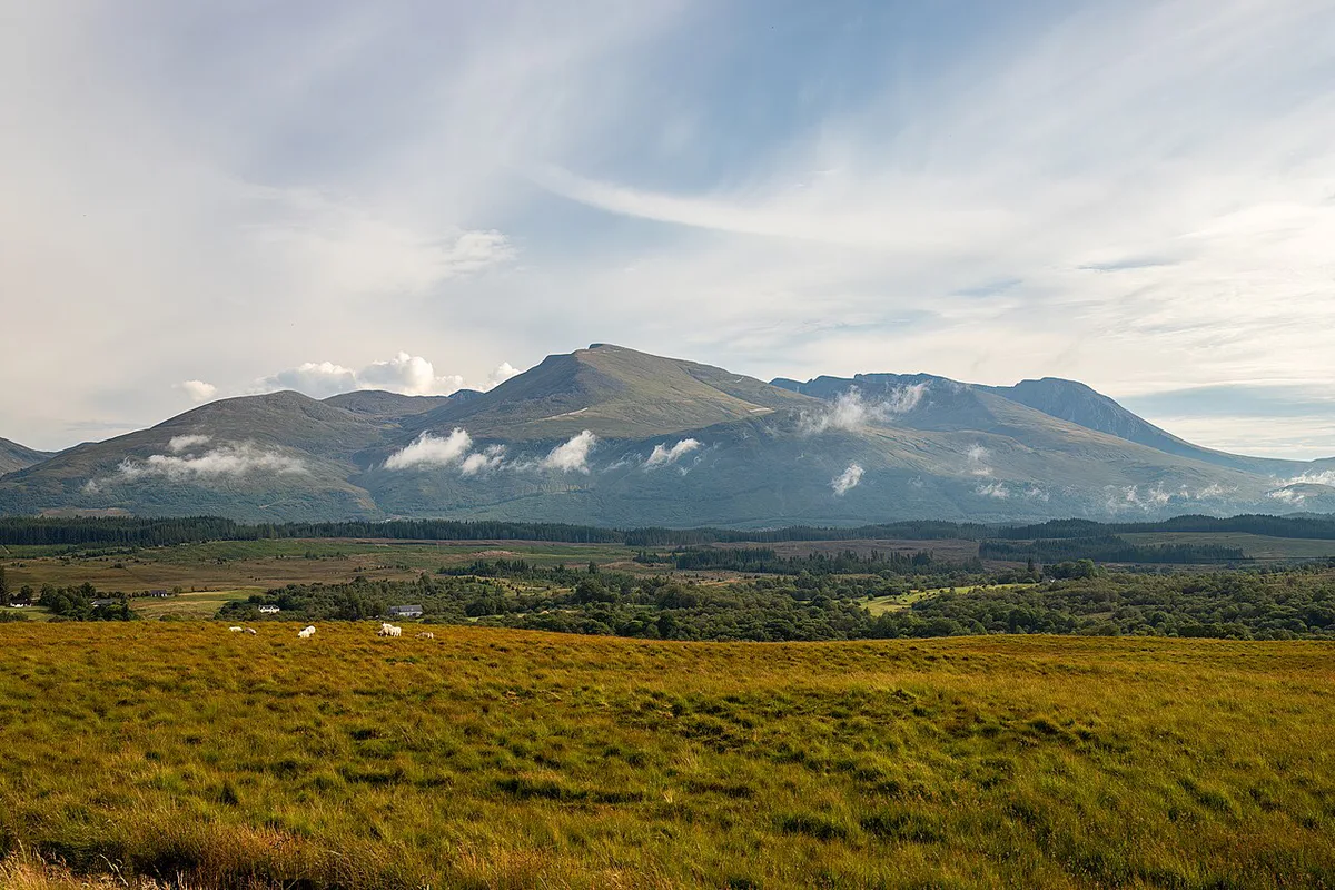
The summit plateau is where the lavas of the collapsed block are exposed, so reaching the top is the surest way to stand on them. Climbers on the north face also see steep crags cut into the same rock, though those cliffs are for experienced mountaineers only. From the valley, you can see the mountain's bulk rising above Fort William. A non-climber will not read the ring fault from the road, but the scale of the massif makes the story easier to picture. Glen Nevis Visitor Centre sits about 1.5 miles along the Glen Nevis road and sells maps and local information. Ask there which low-level paths give good views of the mountain's flanks.
Climbing Ben Nevis: Route and Risk Trade-offs
Ben Nevis is a serious mountain, not a casual hill walk. Summit weather can differ sharply from the valley, and cloud often hides the top. Winter conditions need winter skills, including ice axe, crampons and navigation. Check the mountain forecast from MWIS and the Met Office before you set off. Carry a map and compass and know how to use them. The standard route is the Mountain Track, also called the Pony Track. It starts at Achintee, about 1.5 miles from Fort William, and it is the usual choice for walkers. The Carn Mor Dearg Arete is a scramble with exposure, so treat it as a different class of day.
Mountain Track walkers begin at Achintee, about 1.5 miles from Fort William. Daylight shrinks in autumn and winter, so start early.
| Option | Effort | Navigation | Exposure | Best for |
|---|---|---|---|---|
| Mountain Track | Long, steady climb | Needs care in cloud near the summit | Low in summer, serious in winter | Fit walkers with a map and compass |
| Carn Mor Dearg Arete | Harder, with scrambling | Demanding | High | Experienced mountain walkers and scramblers |
| Not climbing | Low | None | None | Beginners, limited time, poor weather |
- Who should skip it: anyone without a map and compass, proper boots and warm layers, or anyone starting late in the day.
- Mistake to avoid: treating the climb as a casual hill walk.
- Mistake to avoid: ignoring the gap between valley weather and summit weather.
- Mistake to avoid: cutting across the path, which speeds erosion on the mountain.
Getting There and Planning Your Day
Fort William is the base for Ben Nevis, and visitors arrive by road or by train. VisitScotland lists planning information for the Fort William area. Start early, because daylight shrinks in autumn and winter and cloud tends to build later in the day. Summer is the usual best season, when snow is least likely. Midges can be a nuisance in warm, still conditions at lower levels. Two start points are common. Achintee sits about 1.5 miles from town, and the Glen Nevis Visitor Centre area is about 1.5 miles along the Glen Nevis road. Parking fees, bus links and opening hours change, so check them on official sites for your date. NatureScot gives guidance on responsible access.
If You Don't Climb: Easier Ways to See It
You can still enjoy the mountain from below. Glen Nevis has low-level walks and picnic spots by the river near the visitor centre. Fort William's visitor attractions include the West Highland Museum, Steall Waterfall in Glen Nevis and the Ben Nevis Distillery. Check opening details with each venue. Accommodation ranges from campsites in Glen Nevis to hotels and inns within about 2 miles of the mountain, such as the Ben Nevis Inn. Costs run from free for walking, through cheap for campsites, to paid for hotels and the distillery. If you want a volcano you can climb in an afternoon, try Arthur's Seat in Edinburgh.
Other Scottish and UK Volcano Sites
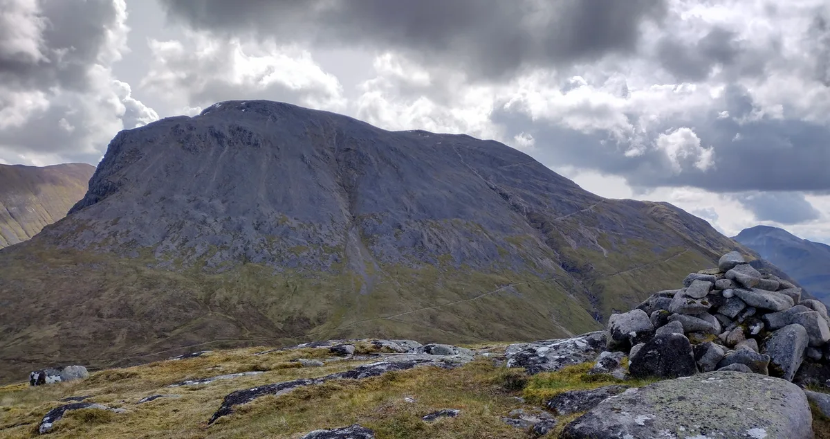
Ben Nevis is the deep root of a collapsed volcano. Other sites show different parts of the story, and each suits a different kind of trip.
| Site | Type of volcanic feature | Visit or climb? | Best use |
|---|---|---|---|
| Ben Nevis | Collapsed caldera with granite intrusion | Climb, serious mountain day | Summit geology and big views |
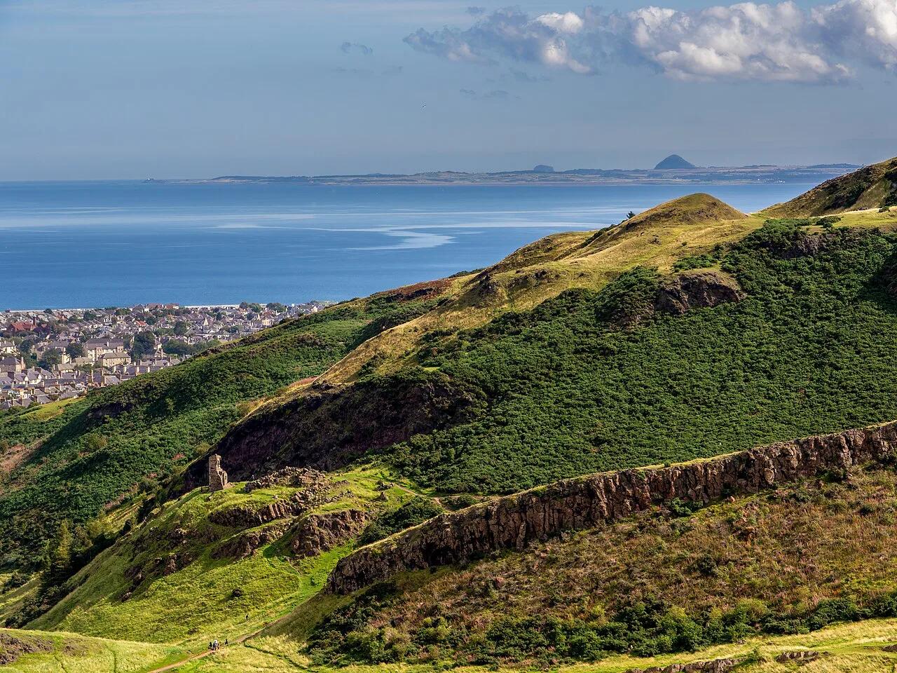
| Arthur's Seat, Edinburgh | Eroded volcano in a city park | Walk up in a short outing | Easy city volcano |
| Bass Rock | Volcanic plug in the Firth of Forth | Seen from the coast or by boat | Seabird and coastal viewing |
| Ailsa Craig | Igneous island in the Firth of Clyde | Seen from the coast or by boat | Wildlife and island views |
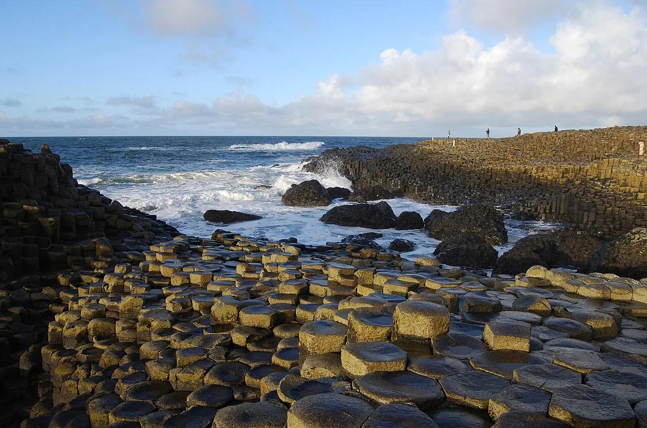
| Fingal's Cave, Staffa | Basalt columns in a sea cave | Reached by boat | Dramatic column geology |
- Read more about the volcanic plug off the East Lothian coast if seabirds interest you.
- Read more about the igneous island in the Firth of Clyde for boat-based viewing.
- Read more about basalt columns on Staffa for classic volcanic columns.
- Extending a trip to Ireland? See volcanic sites in Ireland and the plug at Slemish in County Antrim.
Frequently Asked Questions
Is Nevis Peak an active volcano?
Nevis Peak is a different mountain, on the Caribbean island of Saint Kitts and Nevis. Ben Nevis in Scotland is not related to it and is not a volcano that can erupt. Check Caribbean sources for the status of Nevis Peak.
How long will it take to walk up Ben Nevis?
Plan a full day, and start early. Time varies with fitness, weather and route. Check current guidance from Mountaineering Scotland and the Met Office mountain forecast before you set out.