Slemish Mountain: Climb Guide, St Patrick Legend & Volcano Facts
Last updated November 2026. Slemish Mountain is a volcanic plug in County Antrim, Northern Ireland, a few miles east of Ballymena near Broughshane. Tradition links it to Saint Patrick, who is said to have tended sheep here as a young slave. The climb is short but steep and rocky, and access is free.
Featured image: Jude Byrne, CC BY-SA 2.0, via Wikimedia Commons.
Slemish Mountain at a glance
Slemish rises to about 437 m (1,434 ft) above sea level. The council describes the walk to the summit and back as 1.5 km, taking about one hour in good weather. The ascent itself is 180 m, and the council describes it as steep and rocky. Prices and hours checked November 2026: access is free and the site is open all year, although weather and ground conditions can affect safe access.
| Detail | What to know |
|---|---|
| Location | Carnstroan Lane, Broughshane, County Antrim, BT43 4PF |
| Height | About 437 m (1,434 ft) |
| Round trip | 1.5 km, about 1 hour in good weather |
| Climb | 180 m, steep and rocky, slippery when wet |
| Cost | Free access |
| Facilities | On-site parking, washrooms and a picnic area |
| Best fit | Confident walkers, pilgrims and photographers |
| Contact | Mid & East Antrim Council tourism, +44 (0) 28 2563 5010 |
Is Slemish a mountain or a hill?
Locals call it a mountain, and its Irish name, Sliabh Mis, means Mis's mountain. Reference works often describe it as a hill. No single label settles the argument, and this guide uses "mountain" because that is the everyday local name. What matters on the day is the 180 m of steep, rocky ascent from the car park. Treat it as a proper walk and not a stroll.
A volcanic plug: what you're climbing
Slemish is the remains of an extinct volcano. A volcanic plug forms when magma hardens inside a vent. Softer cone material then erodes away and leaves the hard core standing alone. Slemish is made of olivine dolerite and dates to the Palaeogene period. Its steep, rugged upper slopes contrast with tidy fields on the lower westward side and flat bogland to the east. That contrast is why it dominates the landscape for miles. The British Geological Survey publishes background on UK volcanic geology. For wider context, see our guide to Irish volcanic sites. Our UK volcano guide compares Slemish with other remnants. In Scotland, Scotland's volcanic landmarks offer a good contrast. You can also read about Edinburgh's volcano and the island plug of Ailsa Craig.
Saint Patrick and Slemish: legend and what's documented
According to tradition, Patrick was brought to Ireland as a slave and worked as a shepherd on Slemish for about six years. He was aged 16 to 22, and his master was a man named Milchu, sometimes written Miluic. Tradition says he turned to constant prayer here and heard a voice urging him to escape. This is a pilgrimage story, not a documented fact, and some historians have questioned the Slemish link. Pilgrims climb every year on 17 March, and Broughshane holds a festival that day.
How to get to Slemish Mountain
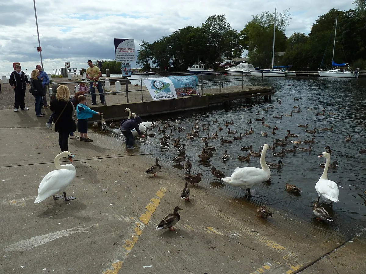
Slemish is rural, with no train or bus station at the foot of the hill. Driving is the simplest option. The route ends on Carnstroan Lane, Broughshane, BT43 4PF, where the car park sits at the base. Local bus routes 1C, 1D and 2B from Ballymena are reported to run near the hill. You would then walk the rest. Check routes and frequency with Translink before relying on them. For current access notes, see the National Trust Slemish page.
| Option | Effort | Notes |
|---|---|---|
| Car | Lowest | Drive to the car park on Carnstroan Lane and walk straight from there |
| Taxi from Ballymena | Low | Ask the driver to wait or arrange a pick-up time; agree the fare in advance |
| Bus plus walk | Highest | Routes 1C, 1D and 2B may pass nearby; see Translink for timetables and the final walking distance |
Car park, toilets and facilities
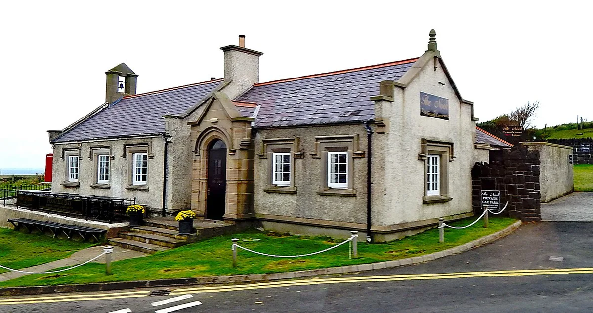
The council lists a large parking facility with interpretation boards and washrooms on site. A picnic area is also listed. The council's parking line reads "free (parking charges may apply)", so look for signs on arrival. Coach parties are accepted. There is no café listed, so bring water and food for the walk.
Climbing Slemish: route, time and difficulty
Plan about one hour for the 1.5 km round trip in good weather. Allow longer if you stop for photographs or rest on the way up. The 180 m ascent is steep and rocky, so it feels harder than the distance suggests. The path can become very slippery in wet weather. The council advises waterproofs and strong footwear because Antrim weather changes quickly. Keep dogs on leads. Views cover the Antrim and Scottish coasts to the east. Ballymena, Lough Neagh and the Sperrin Mountains are normally visible to the west. A Celtic cross with seating is reported at the summit.
- Families: fine for older children who walk steadily; keep hold of young ones on the rocky sections.
- Casual walkers: manageable at a slow pace with proper shoes and plenty of breaks.
- Pilgrims: allow extra time on 17 March and arrive early.
- Photographers: the lower slopes and roads around the base show the plug's shape well.
- No-climb option: view the plug from the car park or the surrounding lanes, including Carnstroan Lane.
When to go
Slemish is open all year, so you can choose by weather and daylight. Dry spells make the rocky ascent much safer. Winter days are shorter, so start early and finish before dusk. On 17 March large crowds walk to the top as a pilgrimage. Expect busy paths and pressure on parking, and arrive early. Broughshane's festival arrangements change, so check the council or event listings for the current plan.
Mistakes to avoid
Most problems come from underestimating a short climb.
- Wearing trainers on wet rock, when the path is slippery.
- Leaving waterproofs in the car because the sky looks clear.
- Judging the hill by its 1.5 km length and ignoring the 180 m of steep ascent.
- Letting dogs off the lead.
- Planning a bus-only trip without checking Translink timetables.
- Starting late in winter with little daylight left.
What to combine with Slemish
Slemish works as a half-day walk. For a full day, pair it with sights nearby. Distances below are miles from Slemish, as listed by the council. For a base, Ballymena or Broughshane suit inland plans. Glenarm and Carnlough suit a coastal stay. The Causeway Coastal Route continues beyond them. For another volcanic stop, basalt columns at Fingal's Cave are a longer trip.
| Place | Distance | Best for |
|---|---|---|
| Broughshane Community Museum | 4.43 miles | Local history |
| Broughshane Waterfowl Park | 4.54 miles | Easy wildlife stop |
| Ecos Nature Park | 6.38 miles | Families and short walks |
| Mid-Antrim Museum and Arts Centre at The Braid | 7.21 miles | Rainy-day museum visit |
| Glenarm Castle & Garden | 8.12 miles | Gardens and estate |
| Carnlough Harbour | 8.86 miles | Harbour views and lunch |
| Gracehill Moravian Settlement | 9.36 miles | 18th-century village |