Volcán de la Corona, Lanzarote: Hike, Access and Tips
Last updated November 2026: Volcán de la Corona, also called Monte Corona or La Corona Volcano, is an extinct volcano above Haría in northern Lanzarote. You reach it on foot from the church in Yé, on a round trip of about 2.1 miles (3.4 km). Local guides report that the crater interior is closed, so the rim is the realistic goal.
Featured image: Luis Miguel Bugallo Sánchez (lmbuga), CC BY-SA 3.0, via Wikimedia Commons.
Quick answer: what Volcán de la Corona is and whether you can climb it
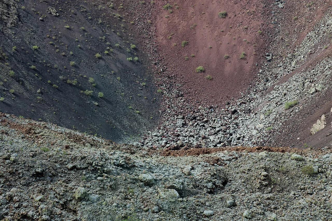
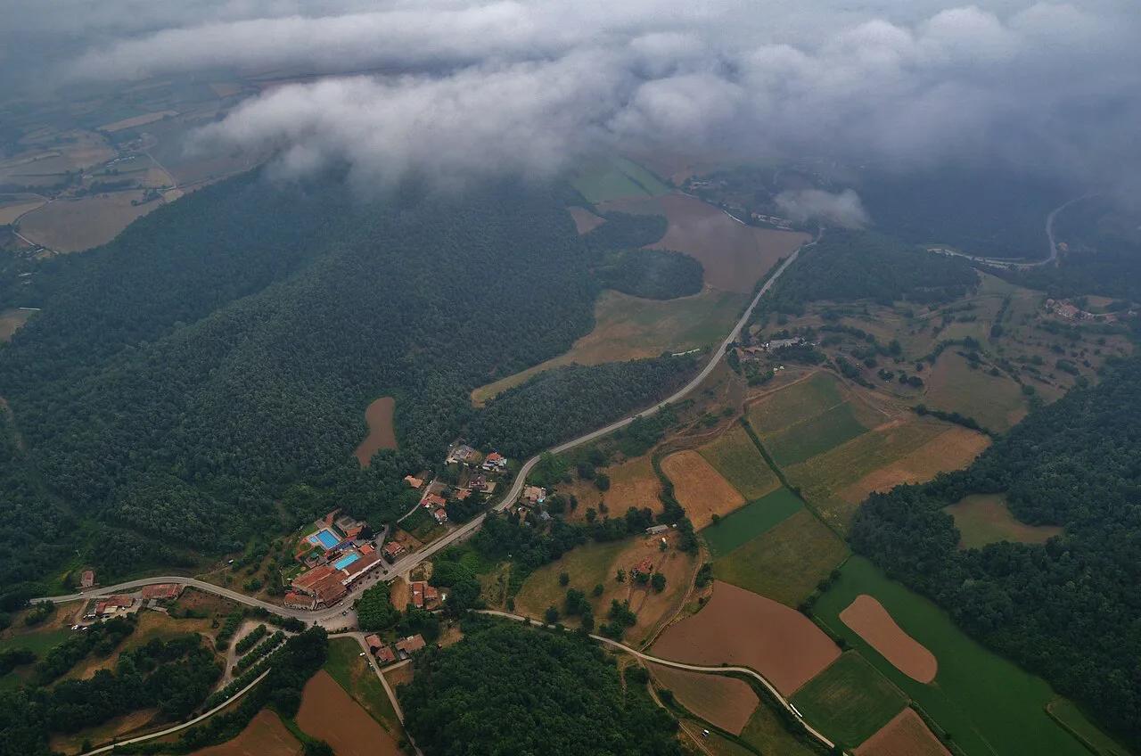
Volcán de la Corona rises about 2,000 ft (609 m) above sea level in the Haría municipality. It is built from slag and lapilli, meaning loose cinders and small volcanic pebbles. Its semicircular crater measures about 1,480 ft (450 m) across and 620 ft (190 m) deep. Treat it as one of the quieter stops among Lanzarote's volcano landscapes, reached by trail rather than by road.
- Where: near Yé, Haría municipality, northern Lanzarote
- Age: roughly 3,000 years; one source gives 3,000 to 5,000 years
- Hike: about 2.1 miles (3.4 km) round trip, which one local source puts at about 1 hr 5 min
- Crater interior: one source lists it as closed, so follow current signage
- Cost: no entry fee is documented for the walk
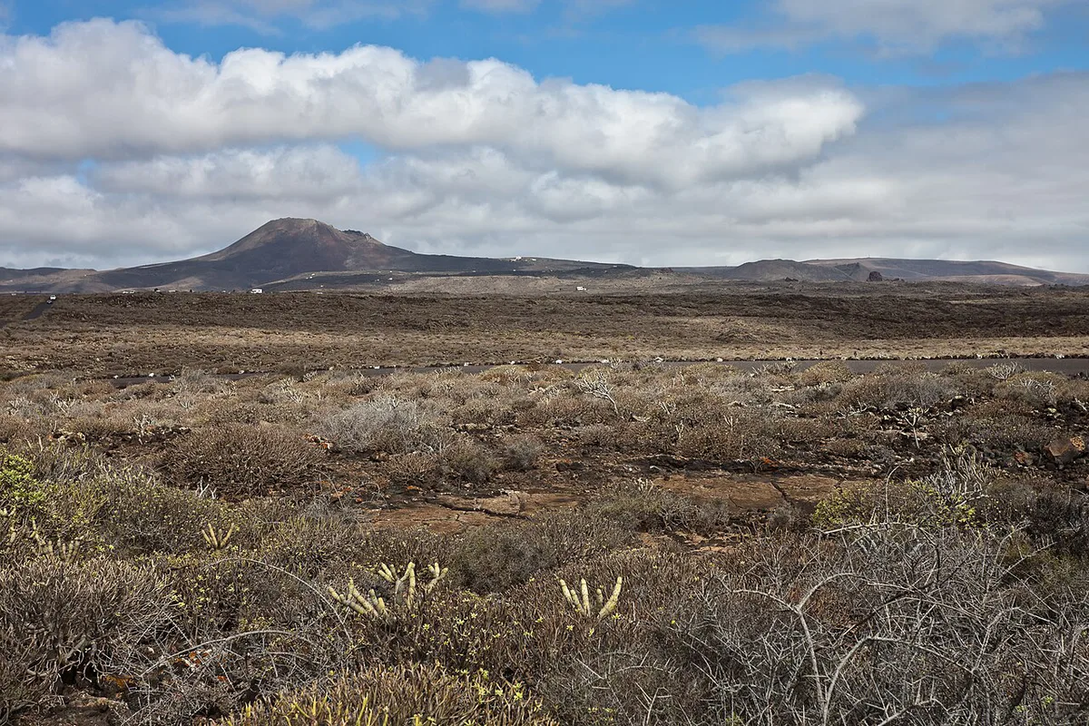
How to get to the trailhead in Yé
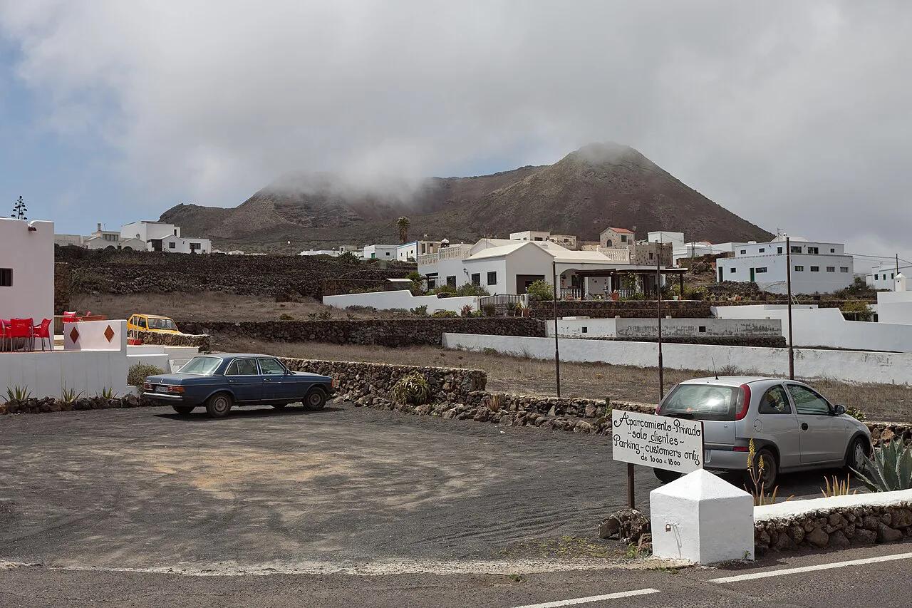
Park by the church in Yé, on the road toward San Francisco Javier. Local route descriptions place the trail about 1.2 miles (2 km) from the village. Yé is a quiet northern village, and no services at the trailhead are documented. Bring water and food from Haría or from your base. Bus and taxi options change, so the Lanzarote tourism board is the place to check current transport. If you would rather not drive, a guided volcano tour is the simpler route.
Plan on about 1.2 miles (2 km) from the village to reach the trail, and carry water since no trailhead services are documented.
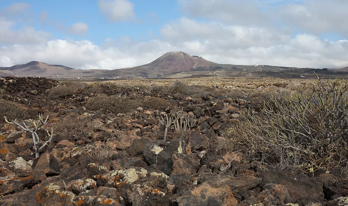
Volcan de la Corona hike: route, time and difficulty
The path starts between vine, fig and cactus plots behind stone walls built across the trade winds. It then turns into a rocky trail and climbs a small slope to the crater edge. From there, the ascent to the rim goes left, steep at first, with no clear path. Published times differ because they measure different things. One local source gives a 20-minute walk from the church to the crater. Another gives 2.1 miles (3.4 km) round trip in about 1 hr 5 min. Read the first as the approach and the second as the full outing including the rim.
| Option | Published distance and time | Terrain | Best for |
|---|---|---|---|
| Approach walk | About 20 min from the church | Farm walls, then rocky trail | Short on time, want a look at the crater |
| Rim section | Part of the round trip; steep start, no clear path | Narrow and exposed | Sure-footed hikers |
| Full round trip | About 2.1 miles (3.4 km), about 1 hr 5 min | Uneven, moderately challenging | Hikers who want the whole route |
Can you enter the crater? Access rules and safety
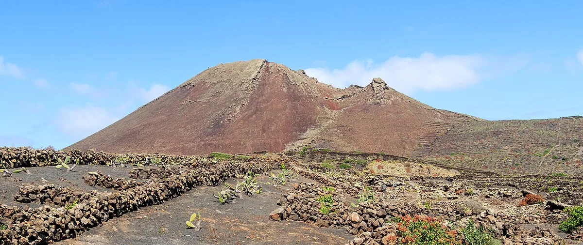
Local accounts of the crater differ. One local site says you can walk up to and into it. Another reports that the interior is closed and that only experienced hikers should go around the rim, because the trail is narrow and very exposed. Follow the signage on the day, and treat the rim as your limit. Wind sweeps the ridge, and the climb has no shade. Wear sturdy shoes with good grip and carry water. Leave volcanic rocks where they lie, since removing them damages the landscape.
Is it worth it? Who should go and who should skip it
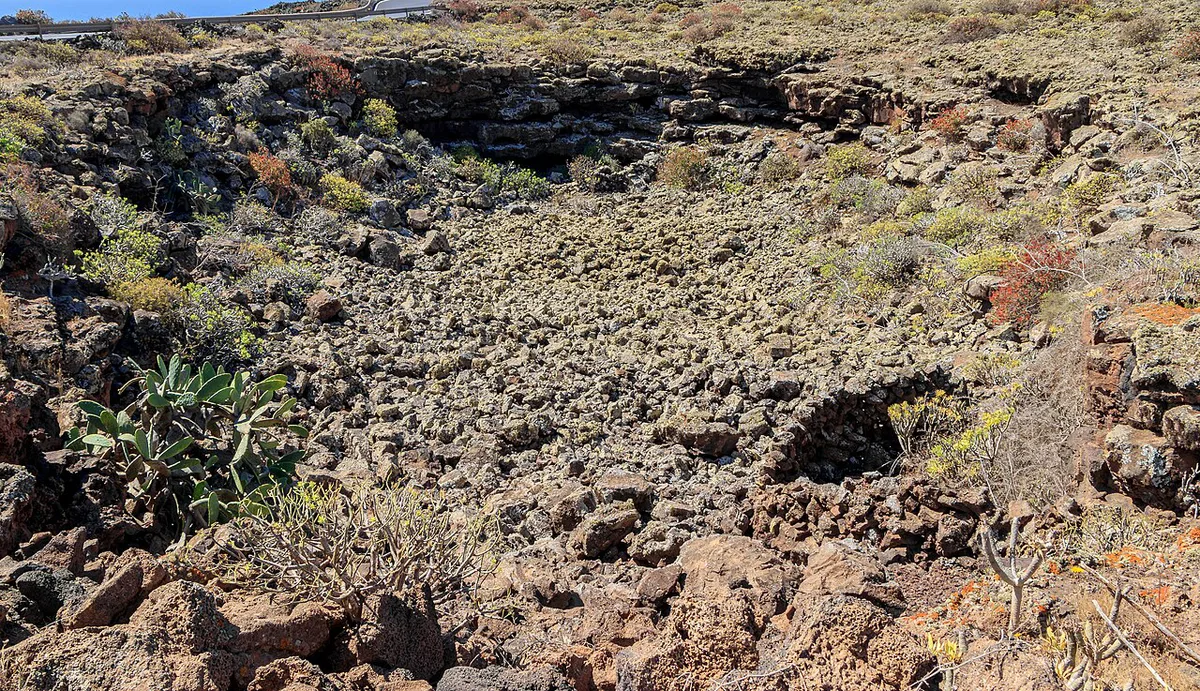
Go if you want a quiet, summit-style walk with a real volcanic crater at the end. Skip it if the day is tight or the conditions rule it out. For a gentler volcano walk, compare it with Caldera Blanca Hike, Lanzarote: Route, Time & Wind Tips or Volcán del Cuervo.
- Go: hikers in sturdy shoes who want a quiet walk
- Go: anyone curious about the volcano behind the lava tube
- Skip: visitors on a tight schedule
- Skip: anyone without grippy shoes
- Skip: anyone afraid of heights, because the rim is exposed
- Skip: travelers who want a drive-up viewpoint
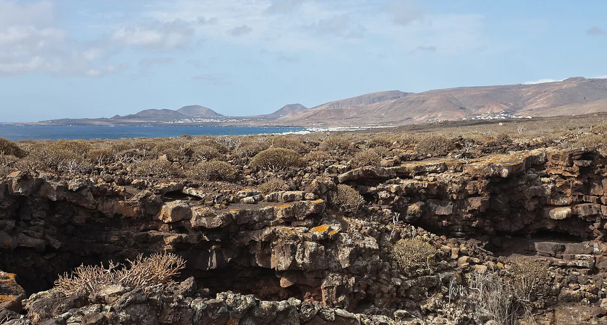
Malpaís de la Corona and the lava tube: what the eruption left behind
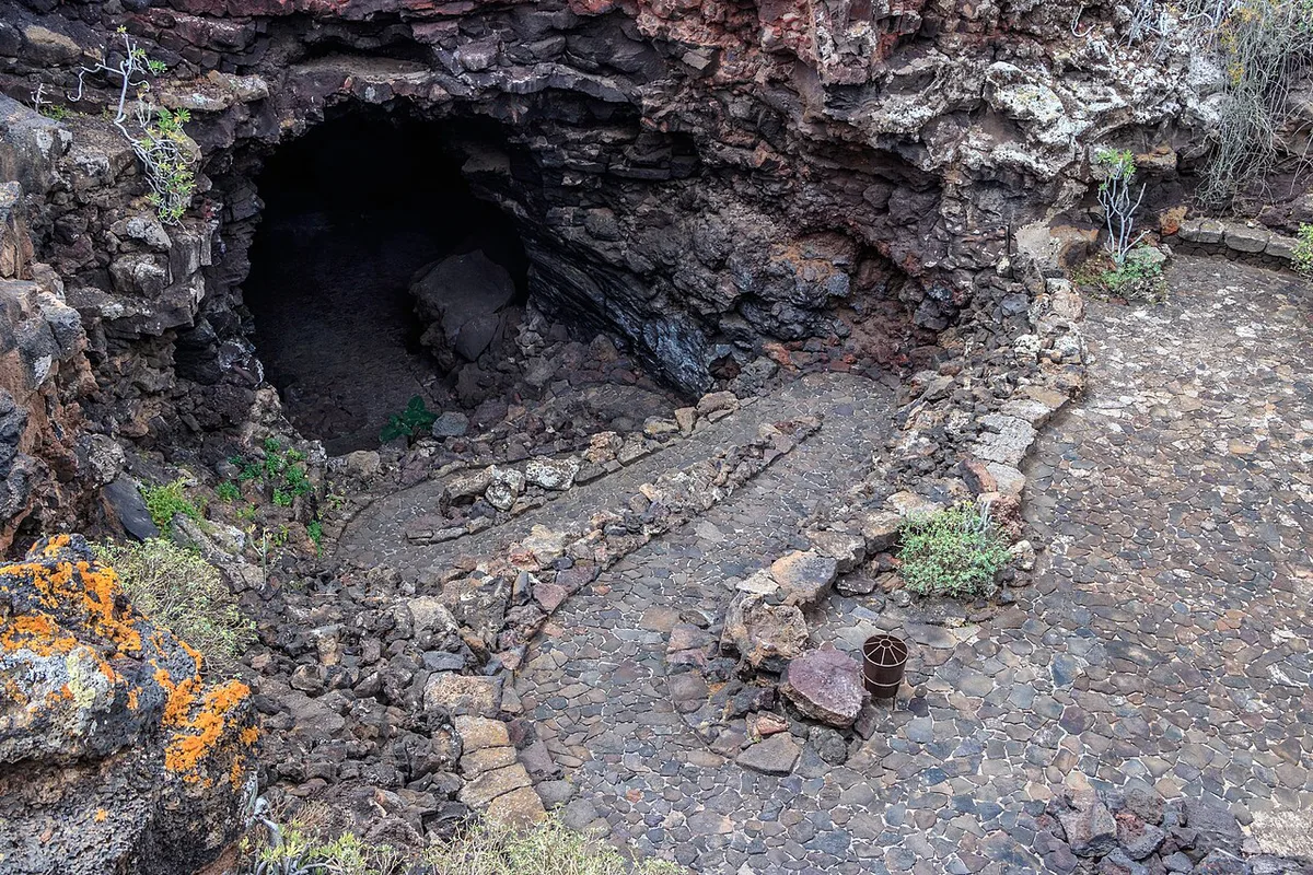
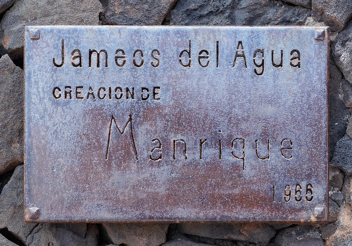
Roughly 3,000 years ago, Monte Corona sent lava east toward the sea. That flow formed the Malpaís de la Corona, a rough lava field whose name means "bad land". Inside it, lava crusted over and left a tube about 4.3 miles (7 km) long that runs about 0.9 mile (1.4 km) under the sea. Where the roof collapsed, openings called jameos give access. Jameos del Agua and Cueva de los Verdes belong to this system, and Centros de Lanzarote covers visiting details. Timanfaya's cones date from the 1730s, about 300 years ago, so Corona is roughly ten times older. Read the story of the 1730 eruption for that contrast.
How to combine it with other north and volcano stops
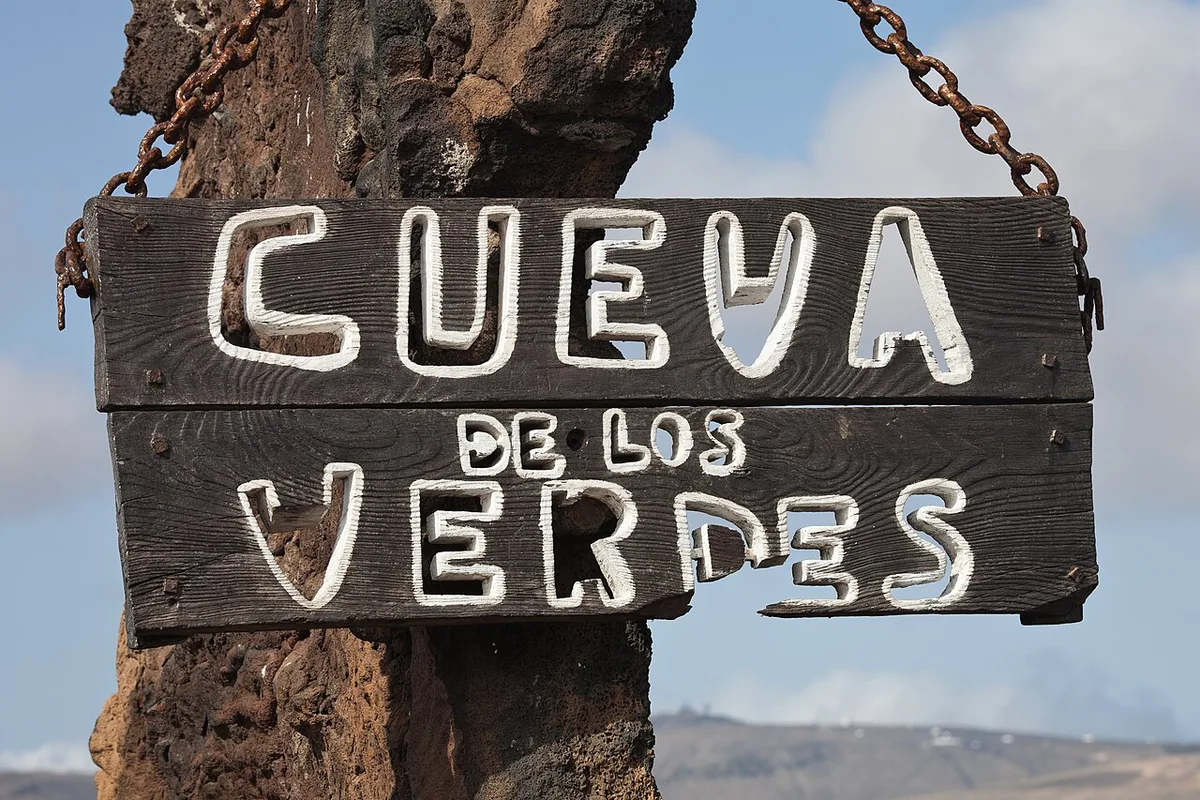
A sensible north day starts with the hike in the morning. Cueva de los Verdes and Jameos del Agua follow by road, then the Haría valley. Both caves are on the same lava tube as the volcano, so the sequence tells one geological story. For an easier introduction, the Ruta de los Volcanes en Lanzarote: Rutas, Tiempos y Consejos avoids hiking. A Timanfaya-area day can add the camel stop there. Keep the south and west for a different day, with Los Hervideros, Lanzarote: When to Go, Parking and Safety Tips, Charco de los Clicos, Lanzarote: How to Visit the Green Lagoon and La Geria, Lanzarote: Wine Route, Zocos & Tasting Guide. For wider planning, start from the Lanzarote volcano guide.
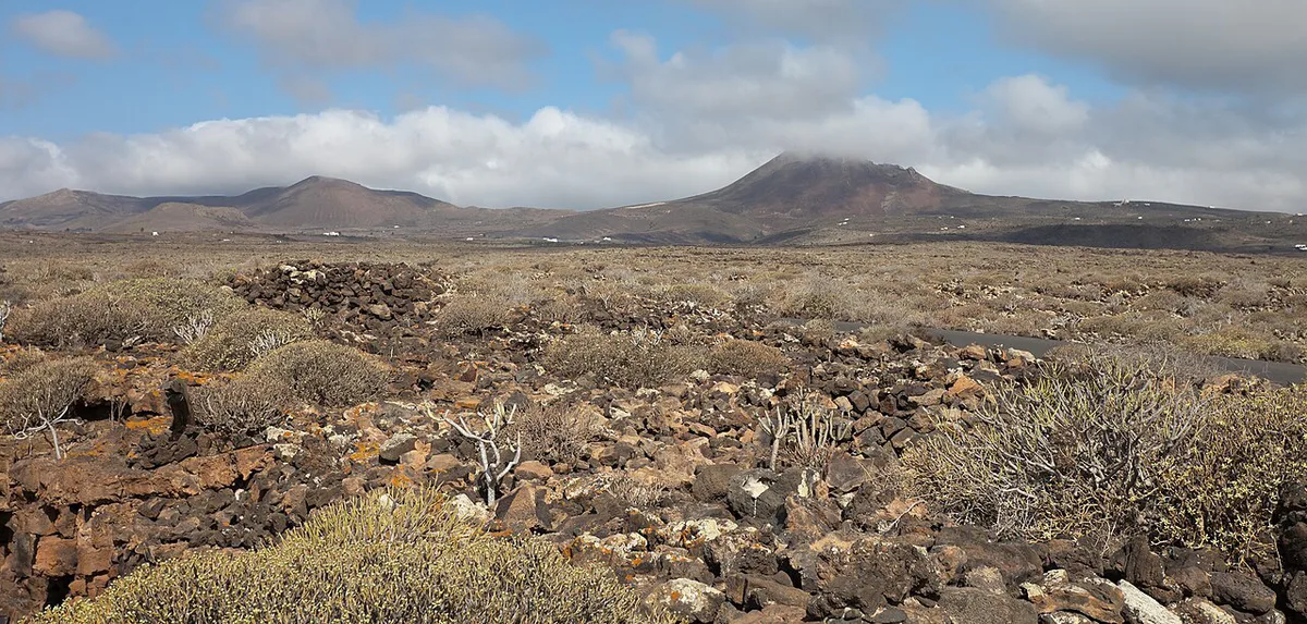
Mistakes to avoid
Most problems come from underestimating a short walk.
- Expecting a drive-up viewpoint, when the crater needs a hike
- Wearing smooth-soled shoes on uneven, rocky ground
- Starting the rim climb in strong wind or with a fear of heights
- Carrying too little water for a climb with no shade
- Taking volcanic rocks as souvenirs
- Assuming the crater interior is open without checking signage
Frequently Asked Questions
Is Lanzarote still an active volcano?
Volcán de la Corona is extinct, with an age of roughly 3,000 years. Timanfaya's cones date from the 1730s eruption. For current volcano monitoring, see INVOLCAN.