Ruta de los Volcanes en Lanzarote: Rutas, Tiempos y Consejos
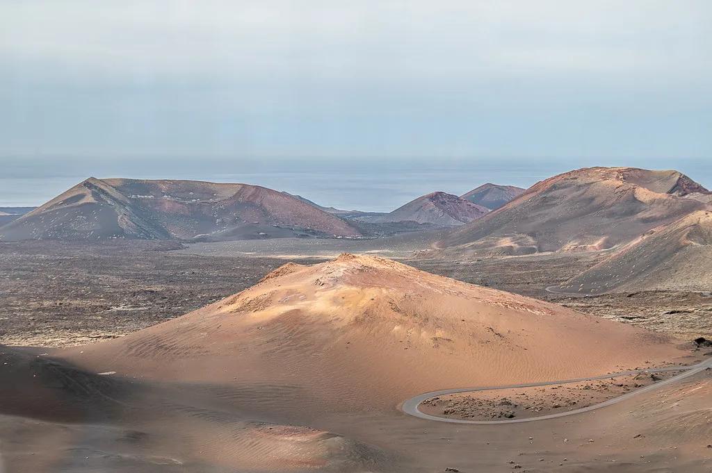
Last updated November 2026: the ruta de los volcanes on Lanzarote is the bus drive through the lava fields of Timanfaya National Park. Free hikes around Caldera Blanca and Volcán del Cuervo make a separate way to see the same volcanic landscape. Below you can choose between the bus, a self-drive loop and a walk, then match each choice to your time, fitness and the island's wind.
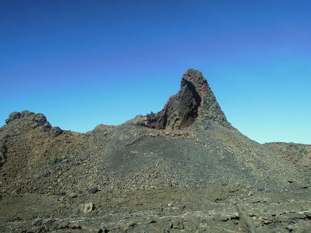
Featured image: www.mgaylard.co.uk and thanks for looking, CC BY 2.0, via Flickr.
What the Ruta de los Volcanes on Lanzarote actually is
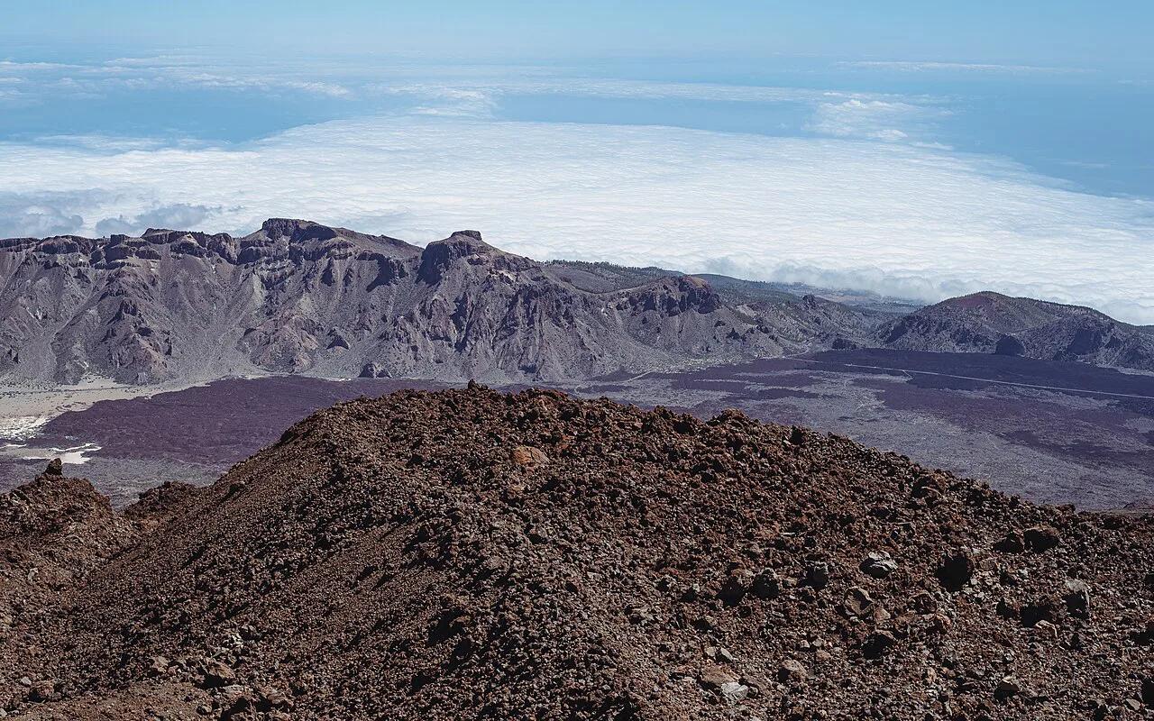
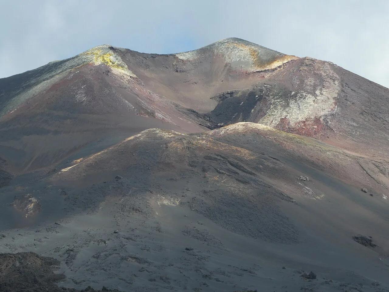
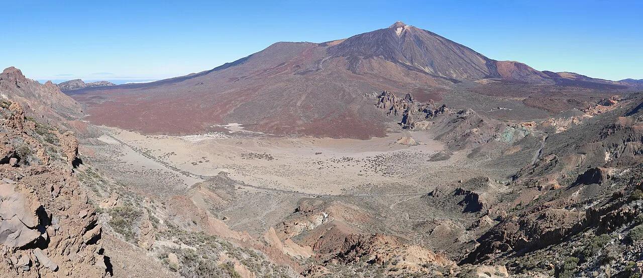
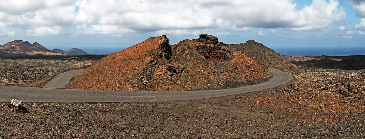
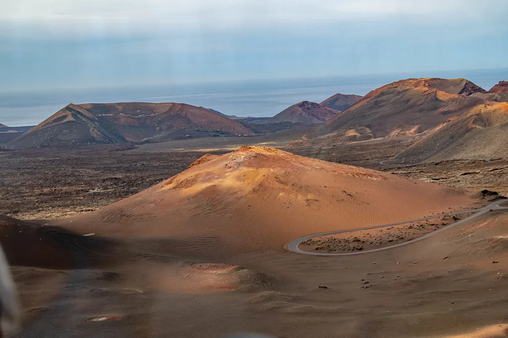
On Lanzarote, the Ruta de los Volcanes is the coach tour inside Timanfaya National Park. Buses leave from the Islote de Hilario visitor area and run through the lava fields on a fixed road. Passengers stay on board, so this is a ride rather than a hike. Ticketing, schedules and current prices sit on the Centros de Lanzarote Timanfaya page, and they change by season. Eruptions between 1730 and 1824 shaped the terrain you cross. Our 1730 eruption account explains how that landscape formed. For every other volcano on the island, start at the Lanzarote volcano guide. Walkers should note that the neighbouring Los Volcanes natural park has its own marked trails, covered in the hiking section below. Treat Timanfaya as a controlled visit with its own rules, not as open walking terrain.
- Searching for La Palma? That island has a separate Ruta de los Volcanes, a GR-131 trail through the Cumbre Vieja area from El Paso to Fuencaliente.
- Lanzarote's version is a bus loop in Timanfaya plus hikes in Los Volcanes. La Palma's is a long guided or independent walk.
- Details for La Palma are in the final section of this page.
Hike, drive or book a tour: how to choose
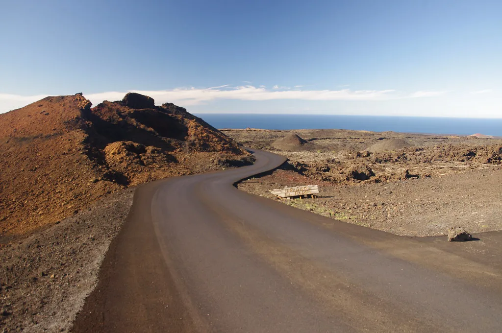
Pick by time and fitness first, then by how much freedom you want. Short on time? The Timanfaya bus and a few roadside stops cover a lot in half a day. Fit and out for the morning? A crater-rim walk gives a closer view of the terrain than any window. A guided option removes parking and planning, and our Lanzarote Volcano Tour: Timanfaya Options & Tips page lists what organised days include. Costs change each season, so check current prices on the official sites before you book.
| Option | Time needed | Cost level | Best for |
|---|---|---|---|
| Timanfaya bus (Ruta de los Volcanes) | Short ride plus waiting time | Ticketed | First-time visitors, mixed ages, hot or windy days |
| Self-drive roadside stops | Half a day | Fuel and parking only | Flexible travellers with a hire car |
| Easy crater walk | About 1 hour | Free | Families and casual walkers |
| Moderate or hard crater hike | About 2.5 to 5 hours | Free | Fit walkers with water and sturdy shoes |
| Guided volcano tour | Half or full day | Paid | Visitors without a car or those wanting commentary |
Best walking routes by difficulty
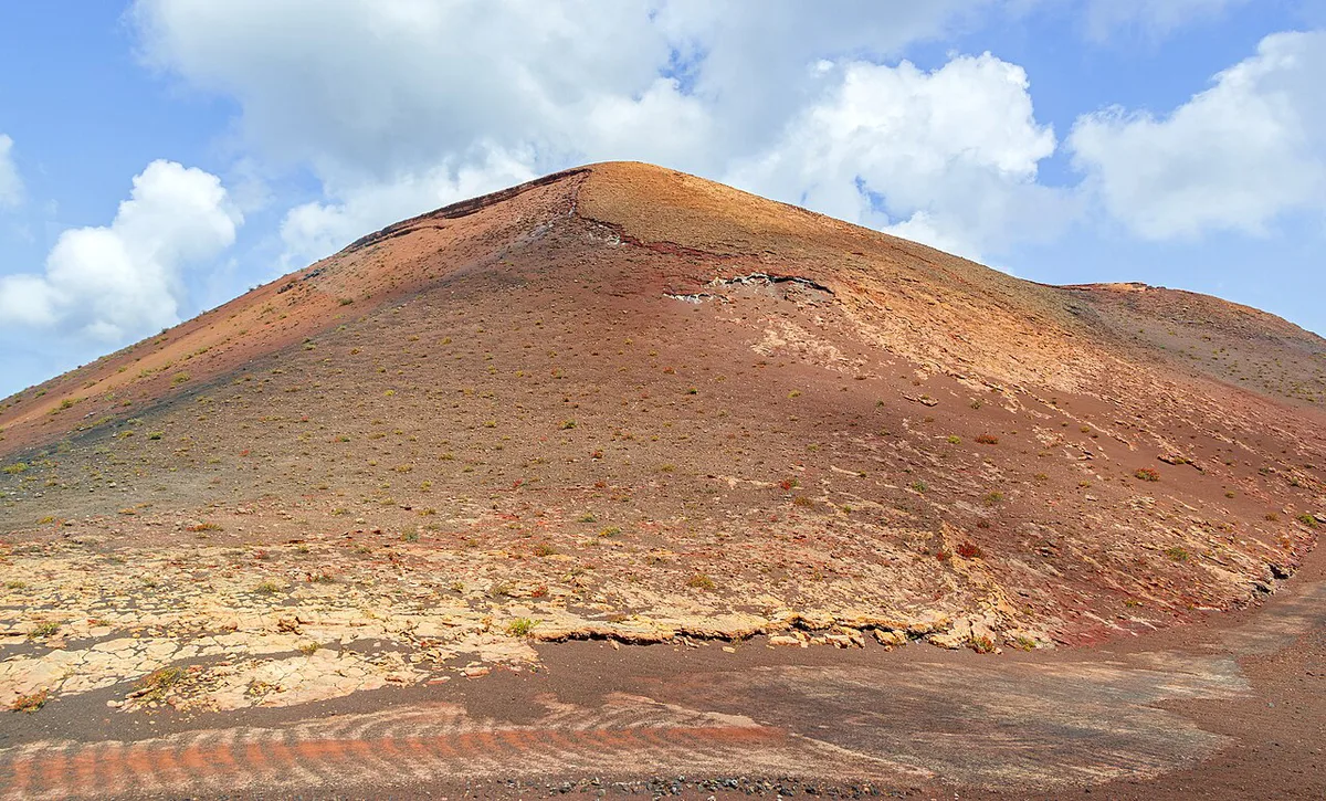
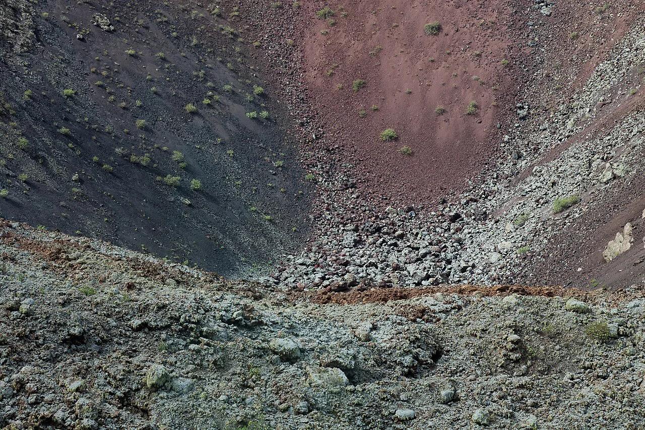
Route-sharing data from Komoot gives a rough guide to length and effort, though figures vary slightly between listings. Treat the numbers below as rounded planning values. Easiest is the Caldera de los Cuervos and Montaña del Cuervo circuit, about 4 km and roughly 1 hour with little climbing. Our Volcán del Cuervo guide covers the crater loop. Moderate options include the Caldereta and Caldera Blanca circular at about 9.5 km, near 2 hours 50 minutes, with around 280 m of climbing. The Tremesana route runs about 8.6 km in roughly 2 hours 20 minutes with about 120 m of ascent. Hard options start with the longer Caldera Blanca trail at about 17.4 km, more than 5 hours and around 410 m of ascent. Our Caldera Blanca hiking page explains the crater itself. A longer loop from the south, partly within Timanfaya, is listed at about 20.8 km, so check access rules first. For a viewpoint-led outing instead, Volcán de la Corona works as a shorter objective. Some routes sit close to Timanfaya's boundary, where access can require a guided visit.
Starting the Caldereta and Caldera Blanca circular early works well, since it takes 2 hours 50 minutes before the Timanfaya bus after lunch.
| Level | Route | Distance (approx.) | Time (approx.) | Ascent (approx.) |
|---|---|---|---|---|
| Easy | Caldera de los Cuervos and Montaña del Cuervo | 4.1 to 4.2 km | 1 h 05 | 30 m |
| Moderate | Caldereta and Caldera Blanca circular | 9.5 to 9.6 km | 2 h 50 | 280 m |
| Moderate | Tremesana | 8.6 km | 2 h 20 | 120 m |
| Hard | Caldera Blanca trail | 17.4 km | 5 h 10 | 410 m |
| Long loop | Caldera Blanca from the south | 20.8 km | 4 h 55 | 550 m |
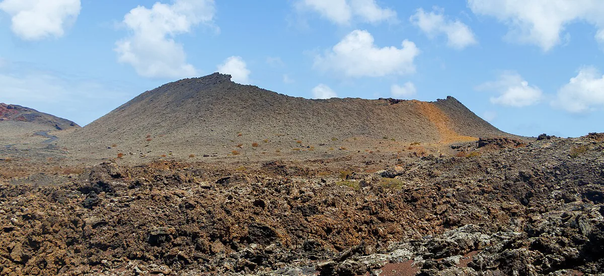
- Choose the easy circuit with children, since there is little climbing.
- Start the longer routes early, because lava ground has almost no shade.
- Carry water on every route and wear closed shoes with grip.
Stops that need no long walk
Several famous volcanic sights sit beside the road. Los Hervideros, Lanzarote: When to Go, Parking and Safety Tips is a coastal lava cliff where waves force spray through caves and channels. At El Golfo, Charco de los Clicos, Lanzarote: How to Visit the Green Lagoon is a green lagoon beside a black beach. Some walkers on the Los Volcanes trails say the path beyond the viewpoint is closed, so stay at the marked viewing point. Echadero de los Camellos: Timanfaya Camel Ride Guide is the camel-ride stop near the Timanfaya area. Camel rides are separate from the bus loop and have their own operator, so plan them as a separate stop. Group these three stops with the bus and you cover a lot of landscape without hiking.
La Geria and the volcanic wine landscape
La Geria shows the other side of the volcanoes: vines planted in pits of black ash. Our La Geria wine region guide covers the vineyards and where to stop. Add it on the way between the south and the park, or keep it for a slower afternoon. Hikers say the vineyards show how local growers farm the ash up close.
Timanfaya and organised tours
Access to Timanfaya's core is controlled, which is why the bus route exists. Opening times, ticket prices and any seasonal limits are on the official Centros de Lanzarote site. For wider planning, the Lanzarote tourism board lists island-wide information. For a guided day that combines Timanfaya with other stops, see our volcano tour comparison. Do not assume you can walk off the road inside the park. Some routes near its edge require a guided visit, so ask before you set out.
Suggested itineraries: half day and full day
Group stops by area so you spend less time driving. Distances and drive times are not given here, so check them in your navigation app. Each plan assumes a hire car. Without a car, a guided tour covers the same ground.
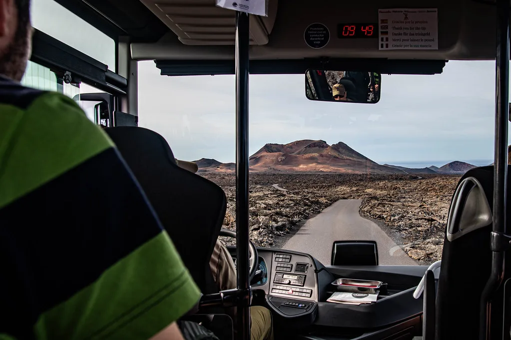
- Half day: Timanfaya bus from the Islote de Hilario visitor area, then Los Hervideros, Lanzarote: When to Go, Parking and Safety Tips for the coastal lava cliffs.
- Half day, walker's version: the easy Caldera de los Cuervos circuit of about 1 hour, then a stop at La Geria vineyards.
- Full day: morning hike at Caldera Blanca on a moderate route, Timanfaya bus after lunch, then El Golfo and the green lagoon viewpoint.
- Full day, no hiking: Timanfaya bus, Los Hervideros, El Golfo, then La Geria for the late afternoon light.
When to go, weather and what to pack
Trail guides suggest October to May as the more comfortable months for hiking, because summer sun on exposed lava is intense. Wind is the other factor. A Komoot reviewer in March 2026 described strong wind along the Volcán del Cuervo circuit, and crater rims have no shelter. For live volcanic and seismic information, INVOLCAN's monitoring site is the reference. Pack at least 1 litre of water per person for short walks and more for long routes. Add a windproof layer, sun protection and shoes with a firm sole. Lava ground is sharp, and light trainers wear out quickly.
Even the easy circuit, about 1 hour, calls for at least 1 litre of water per person, because the trails have no services.
Getting there and moving around
A hire car gives the most freedom. Trailheads such as the Caldera de los Cuervos car park have designated parking, which can fill in high season, so arrive early. Park only in marked areas to protect the ground. Public-transport options to the trailheads are not confirmed here, so check the island's bus operator before relying on it. If you prefer not to drive, a guided tour handles transfers.
Where to eat
After a volcano day, El Diablo Restaurant, Timanfaya: Worth Eating There? fits the Timanfaya theme. Check opening days before you plan around a meal. Carry snacks for hiking days, since the trails themselves have no services.
Common mistakes and local tips
Most problems come from underestimating exposure. Dress for wind even on sunny days. Do not treat Timanfaya as free walking terrain, because access is regulated. Some reviewers report that information panels on educational trails are worn and partly unreadable, so carry a downloaded map. Dog rules vary by area, and dogs are generally kept on a lead in the protected natural park, so check posted signs. Finally, do not copy a trail time exactly: allow extra for photos, wind and slow lava footing.
- Start early on exposed routes.
- Download offline maps before you leave the car.
- Stay on marked paths to protect fragile lava and lichen.
- Check the official site for access and closures on the day.
And if you meant La Palma's Ruta de los Volcanes
La Palma's Ruta de los Volcanes follows the GR-131 along the Cumbre Vieja volcanic ridge from El Paso to Fuencaliente. Operators offer guided versions of about 17 km that take around 7 hours. One operator lists an adult rate of €46 and a child rate of €23, with a minimum age of over 10 and 2 litres of water per person. Prices and days change by season, so check the operator before you book. Our Lanzarote guide does not cover logistics for that island.
Frequently Asked Questions
¿Cuánto se tarda en hacer la Ruta de los Volcanes?
The Timanfaya bus ride is shorter than a hike, and its current duration and schedule are on the official Centros de Lanzarote site. Walking routes in Los Volcanes range from about 1 hour on the easy Cuervo circuit to more than 5 hours on the hardest Caldera Blanca trail.
¿Dónde ocurren los volcanes?
On Lanzarote, the main volcanic areas are Timanfaya National Park and the Los Volcanes natural park. Eruptions between 1730 and 1824 created the lava fields, craters and Caldera Blanca you see today.