Caldera Blanca Hike, Lanzarote: Route, Time & Wind Tips
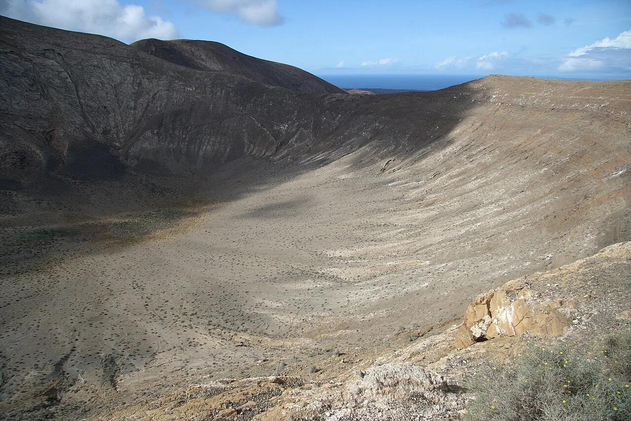
Last updated November 2026: Caldera Blanca is a large, pale extinct crater in Los Volcanes Natural Park, just north of Timanfaya, and a loop hike from near Mancha Blanca climbs to its rim. Expect a route of about 6 miles, 3 to 4 hours and roughly 1,200 ft of climbing. Our Lanzarote volcanoes guide places it among the island's other craters, and below we cover the route, the wind and the logistics.
Featured image: GerritR, CC BY-SA 4.0, via Wikimedia Commons.
Quick answer: is the Caldera Blanca hike worth it?
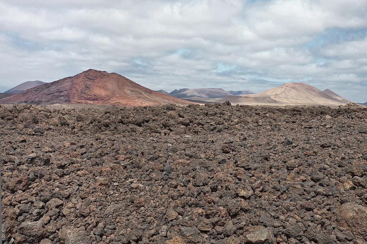
Yes, if you are comfortable walking 6 miles on lava and gravel. You cross an old lava field, climb to the rim and follow a ridge with a 360° view over the park. Walkers of average fitness should plan on 3 to 4 hours. Wind is the main variable, so we'd choose a clear, low-wind day and skip the hike when gusts are strong. Families with young children and anyone nervous on narrow ridges will do better on the flat Cuervo loop covered below.
Caldera Blanca at a glance
Published route figures vary a little between trackers, so read these as approximate planning numbers rather than survey data. Prices and hours are not an issue here, because we found no entry fee or ticket listed for the walk itself.

| Detail | Approximate figure |
|---|---|
| Distance | About 6.2 miles (roughly 9.7–9.9 km) |
| Time | 3 to 4 hours for most walkers |
| Ascent | About 1,200 ft (353–370 m, depending on the track) |
| Highest point | About 1,467 ft at the summit waypoint |
| Difficulty | Moderate fitness, exposed and windy ridge |
| Route type | Loop back to the car park |
| Start | Car park near Mancha Blanca, Tinajo municipality |
| Marking | Reported as unmarked; use a GPX track |
What Caldera Blanca is and how big it is
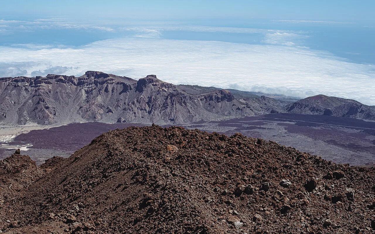
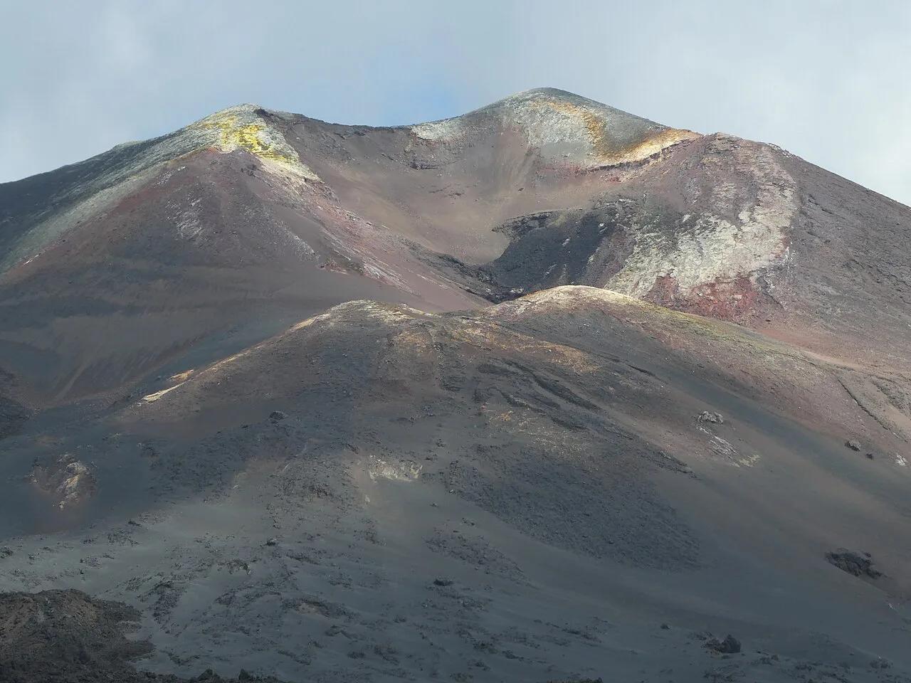
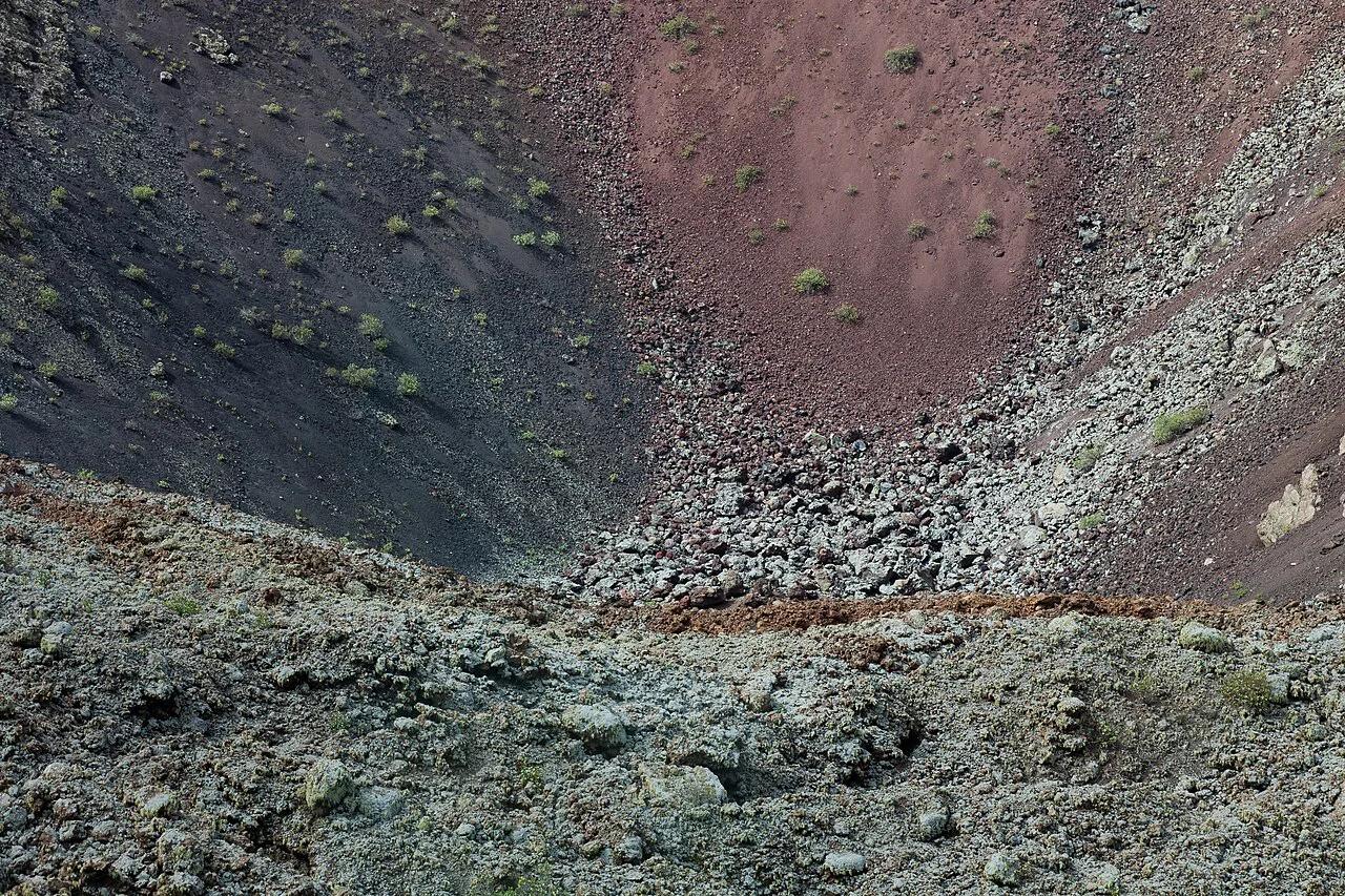
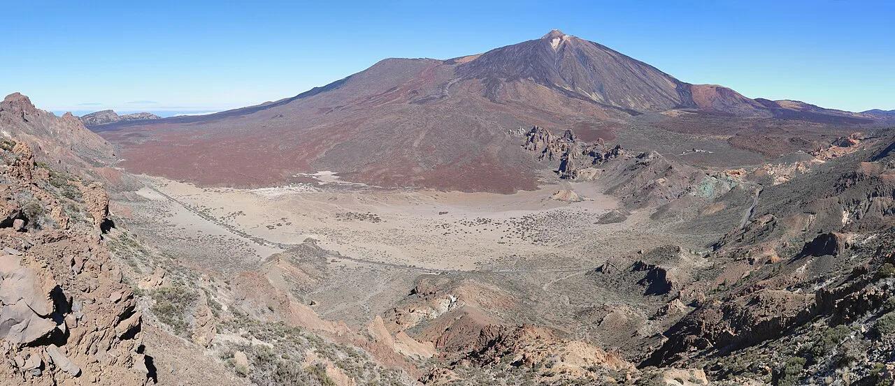
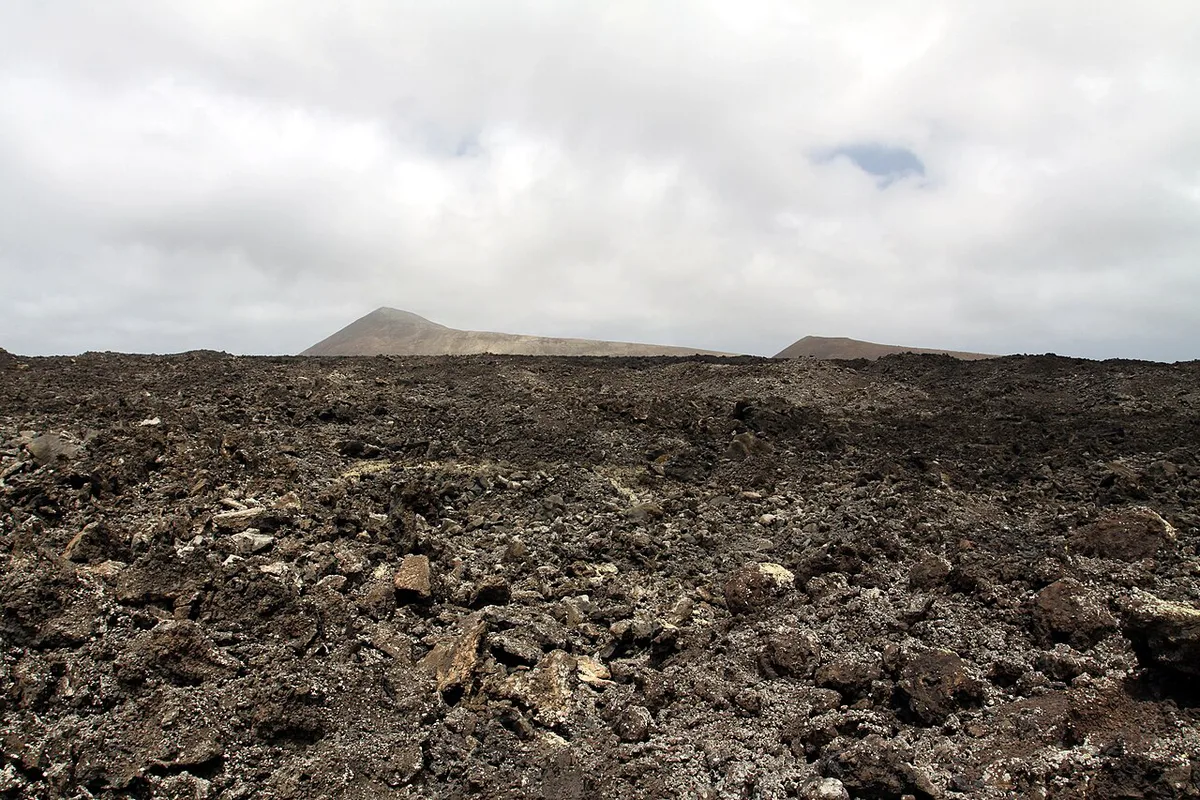
Caldera Blanca is an enormous extinct volcano whose rim is almost perfectly round. A photographer's account puts its diameter at about 1,150 m and its age at roughly 3,000 to 5,000 years. Those figures come from a personal blog rather than a geological survey, so treat them as reported. Lava from the 1730–1736 eruptions surrounds it, and that dark rock makes the pale crater stand out. For the eruption itself, read our 1730 eruption history. Don't confuse it with Montaña Blanca near Tías, which is a different volcano with its own 4.8-mile circular walk.
Caldera Blanca route walkthrough
Waypoints on a popular GPX track show the shape of the loop. Start at the car park at about 817 ft. After roughly 1.5 miles you reach a crossroads at about 640 ft, having crossed old lava. The summit waypoint sits near the 3.25-mile mark at about 1,467 ft. From there you walk the ridge and descend back to the car park at about 810 ft, completing 6.16 miles in total.
- Miles 0–1.5: flat lava-field approach that gradually leads you toward the crater wall.
- Mile 1.5: crossroads at about 640 ft, where you turn toward the climb.
- Mile 3.25: rim and summit, about 1,467 ft, with a 360° view over the park.
- Final stretch: ridge and loose-gravel descent back to the car park.
Direction, navigation and wind safety
One route page advises walking anti-clockwise, and a reviewer says to follow the direction on the Decathlon Outdoor track. We'd go anti-clockwise, because reviewers describe the descent as the risky part, with a lot of loose gravel. The trail is reported as unmarked, so download a GPX file and keep an offline map open. Reviewers describe very strong wind on the rim, and one family turned back from the summit because of it. A photographer was warned by a ranger that the wind could knock a person over, so he waited two days. Some ridge sections are narrow. Check a forecast before you leave and be ready to turn around.
- Go if the sky is clear and gusts are light enough to talk and walk normally.
- Postpone if the wind makes you lean or you hear it roaring over the rim.
- Wear hiking boots, because loose gravel on the descent causes falls.
- Poles help on the descent, according to reviewers.
- Bring a hat, sunscreen and a windbreaker, since cloud does not remove the sun risk.
How long to allow for the Caldera Blanca hike
Listed times run from 2h40 for a very fast hiker to about 4h11 for a slower, photo-heavy day. Two route pages list 3h 55 and 3h 45. Our suggested budget below is a planning hypothesis built on that spread. Starting in the afternoon is the classic mistake. Set a turnaround time at the crossroads or summit, and leave enough daylight for the gravel descent.
With the summit near the 3.25-mile mark, the loose-gravel descent covers nearly half of the 6.16 miles.
| Walker | Planning time |
|---|---|
| Brisk hiker | About 2h40 to 3h |
| Average walker | 3 to 4 hours |
| Family with a 6-year-old | Allow 4 hours, and expect to turn back in wind |
| Photographer | 4 hours or more, waiting for light |
Getting to the start near Mancha Blanca
The hike begins near Mancha Blanca in Tinajo municipality, and parking is reported about 2 km west of Mancha Blanca. A popular track lists start coordinates N 29.043919 / W 13.700277. Reviewers rate parking as easy. Drive in, because we found no confirmed public transport schedule to the trailhead. The park authority and the Lanzarote tourism board are the places to check for any access change.
Parking sits about 2 km west of Mancha Blanca, so navigate to the GPX start point, not the village name.
Costs, permits and park rules
We found no entry fee for walking this trail, though the park authority has the final word. Stay on the path and don't enter craters. The nearby Caldera de Santa Catalina (La Rilla) walk marks its forbidden crater descent with stone lines, so assume the same restraint here. For the volcano itself, INVOLCAN volcano monitoring publishes the island's volcanic status.
Caldera Blanca vs other volcano walks nearby
Several shorter walks start from Tinajo. Choose by wind, time and who is in your group. For a flat, easy loop that suits kids, take the Volcán del Cuervo trail. Choose Caldera Blanca when you want views and have fitness to spare.
| Walk | Distance and time | Best for |
|---|---|---|
| Caldera Blanca | 6.16 miles, 3 to 4 hours | Views and fitter walkers |
| Caldera de los Cuervos | 2.58–2.77 miles, about 1h15 | Families and windy days |
| Montaña Negra | 1.27 miles, about 1h05 | Short climb with 360° view |
| Caldera de Santa Catalina (La Rilla) | 5.62 miles, about 2h50 | Long, easy walk without a crater descent |
| La Geria vineyards | 4.94 miles, about 3h | Vineyard landscapes |
Photography and best light on Caldera Blanca
Cloud moves fast over the crater, so wait a few minutes for light to cross the rim. A wide-angle lens suits the scale, and a polarising filter helps with glare. In wind, spread the tripod legs wide, keep it low and weigh it down with a pack. Step behind a rock if you can.
Combine it with a Lanzarote volcano day
A morning on Caldera Blanca leaves the afternoon for easier stops. Our Echadero de los Camellos stop and Volcán de la Corona are other volcano options. If you'd rather not walk, try the Ruta de los Volcanes en Lanzarote: Rutas, Tiempos y Consejos, or look at a guided volcano tour. Afterwards, La Geria wine country makes an easy drive. Coastal add-ons are Los Hervideros, Lanzarote: When to Go, Parking and Safety Tips and Charco de los Clicos, Lanzarote: How to Visit the Green Lagoon.
Frequently Asked Questions
Is Lanzarote a volcanic island?
Yes. During the 1730–1736 eruptions, a quarter of Lanzarote was buried under lava, and ash covered other areas. Read our 1730 eruption guide for the history.
Is the caldera a volcano?
A caldera is a large volcanic depression, so it is part of a volcano. Caldera Blanca is described as an extinct volcano with a near-round rim.