
Dimmuborgir, Iceland: Lava Field Guide and Visit Planning
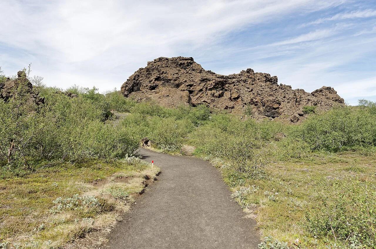
Last updated November 2026. Dimmuborgir is a lava field east of Lake Mývatn, near Reykjahlíð, where a lava lake that cooled roughly 2,300 years ago left pillars, caves and arches. It suits anyone who wants a marked walk through strange rock rather than a roadside look. Here is how to decide if it earns a stop, how long to allow and where it fits on the Mývatn circuit.
Featured image: Jakub Hałun, CC BY 4.0, via Wikimedia Commons.
What Dimmuborgir is and whether it's worth the stop
Dimmuborgir means "dark castles" or "dark cities" (dimmu is dark, borgir is cities or forts). Visitors say it roughly as DIM-moo-bor-gir. It is one of the most distinctive lava formations in Iceland, and it earns a stop if you like short walks with a lot to look at. Skip it only if you want geothermal steam and colour, which other Mývatn stops deliver better.
- Location: east of Lake Mývatn, near Reykjahlíð, North Iceland
- Name: "dark cities" or "dark castles"
- Landscape: lava pillars, caves and arches
- Walking: a network of marked trails
- Season: can be explored year-round
What you'll see in the lava field
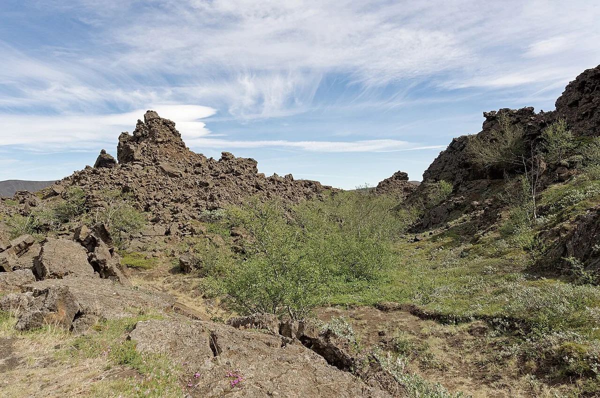
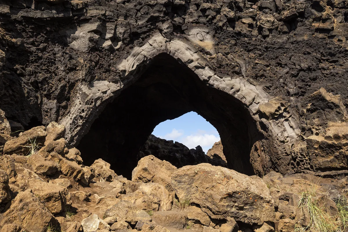
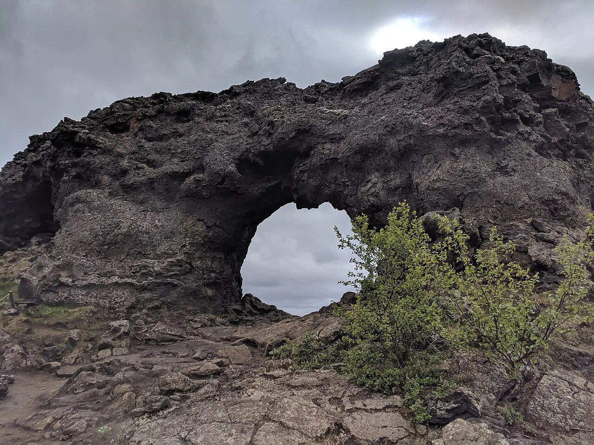
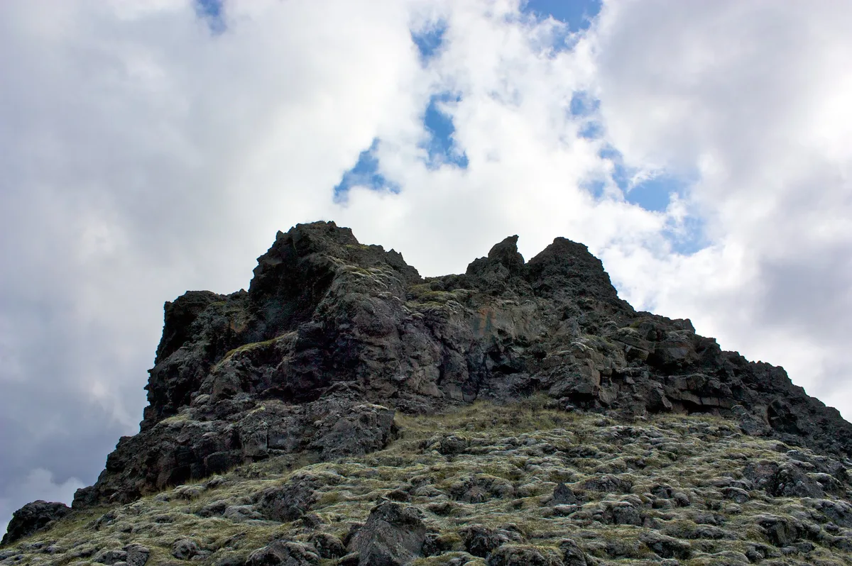
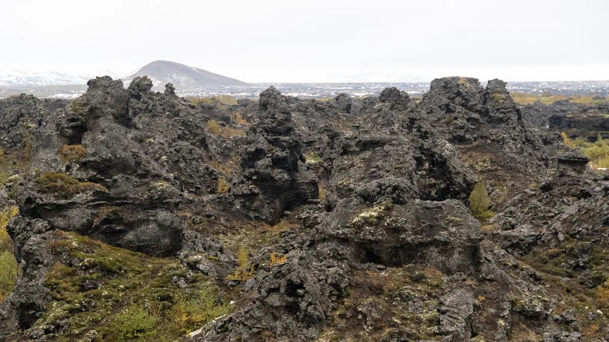
Expect lava pillars, caves, arches and odd rock shapes of all sizes. Some formations reach up to about 65 ft high, according to visitor accounts. They formed when lava flowed over a lake and steam escaped through weak spots in the hardening crust. Sometimes that steam left bubbles, which became caves.
Visitor accounts say formations reach up to about 65 ft high, and the lava that shaped them cooled roughly 2,300 years ago.
Kirkjan ("The Church") is the best-known formation. This lava cave is named for its high arching ceiling and cathedral-like look.
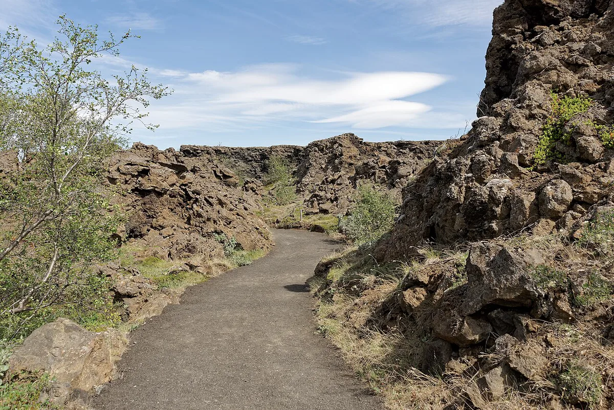
Folklore adds a second layer. Local tradition links the area to the Icelandic Yule Lads, the trickster figures of December. Another legend says trolls caught by sunlight turned to stone. Treat these stories as colour for the walk, not the reason to come.
Trails and how long to allow
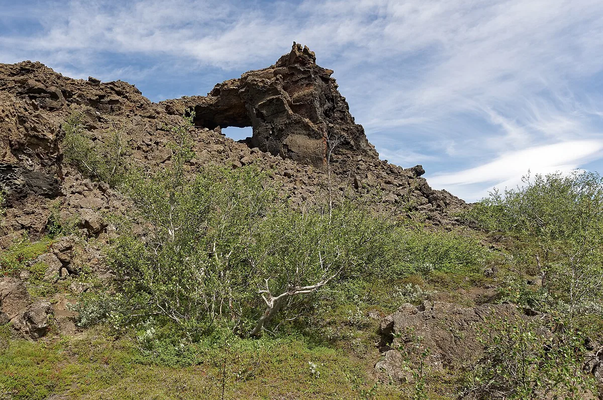
Dimmuborgir has a network of marked trails, so you can choose your length on the spot. Trail names, lengths and ratings change with maintenance, so read the signboard at the car park and check Visit Mývatn for current routes. Plan on this qualitative split:
- Quick stop: follow the shortest loop to Kirkjan and back. This suits a tight schedule or a rainy day.
- Longer wander: link several loops and stop at the arches and caves. This suits photographers and anyone with a free half-day.
- Effort: paths cross uneven lava, so wear sturdy shoes with grip.
What to bring and how to walk the lava field responsibly
Dimmuborgir is a protected landscape, and the rock is more fragile than it looks. The formations are thin-walled lava crust, and the paths exist to keep boots off them. A few habits make the walk easier and keep the field intact.
What to pack
- Footwear: sturdy shoes or light boots with grip. Wet lava and loose gravel are slippery, and the surface is uneven even on the marked loops.
- Layers and a shell: wind funnels through the pillars and the weather around Mývatn changes quickly, so a windproof jacket is worth carrying even on a short loop.
- Head net: in summer, midges gather around the lake and can follow you onto the trails.
- Water and a snack: a longer wander links several loops, and you will be away from the car park for a while.
- Traction in winter: ice cleats make the paths far safer when there is packed snow or ice.
Walking rules that matter
- Stay on the marked paths and obey any closure signs. Routes can be shut after rain or thaw to protect the ground.
- Do not climb on pillars, arches or cave walls. Broken lava does not recover.
- Take your rubbish with you and keep to the paths when you step aside for a photo.
Photography
The pillars read best in low, angled light, so early morning and late afternoon give the most depth and the fewest people in your frame. Kirkjan is the busiest spot, so wait a minute for a gap rather than moving onto the rock. A wide-angle lens helps in the caves and arches, where you cannot step back.
Trail conditions and any temporary closures are posted on the signboard at the car park, and Visit Mývatn lists current access.
Best time to visit and conditions
Each season changes the walk rather than closing it. Use the table as a rough guide.
| Season | Walking | Notes |
|---|---|---|
| Summer | Easiest underfoot | Busiest period. Midges can bother visitors near Mývatn, so carry a head net. |
| Shoulder season | Mixed, often muddy | Fewer people. Autumn colour from blueberry plants adds red leaves to the lava. |
| Winter | Hardest, with snow and ice | Short daylight and a quiet lava field. Check the forecast before you set out. |
Getting there and practicalities
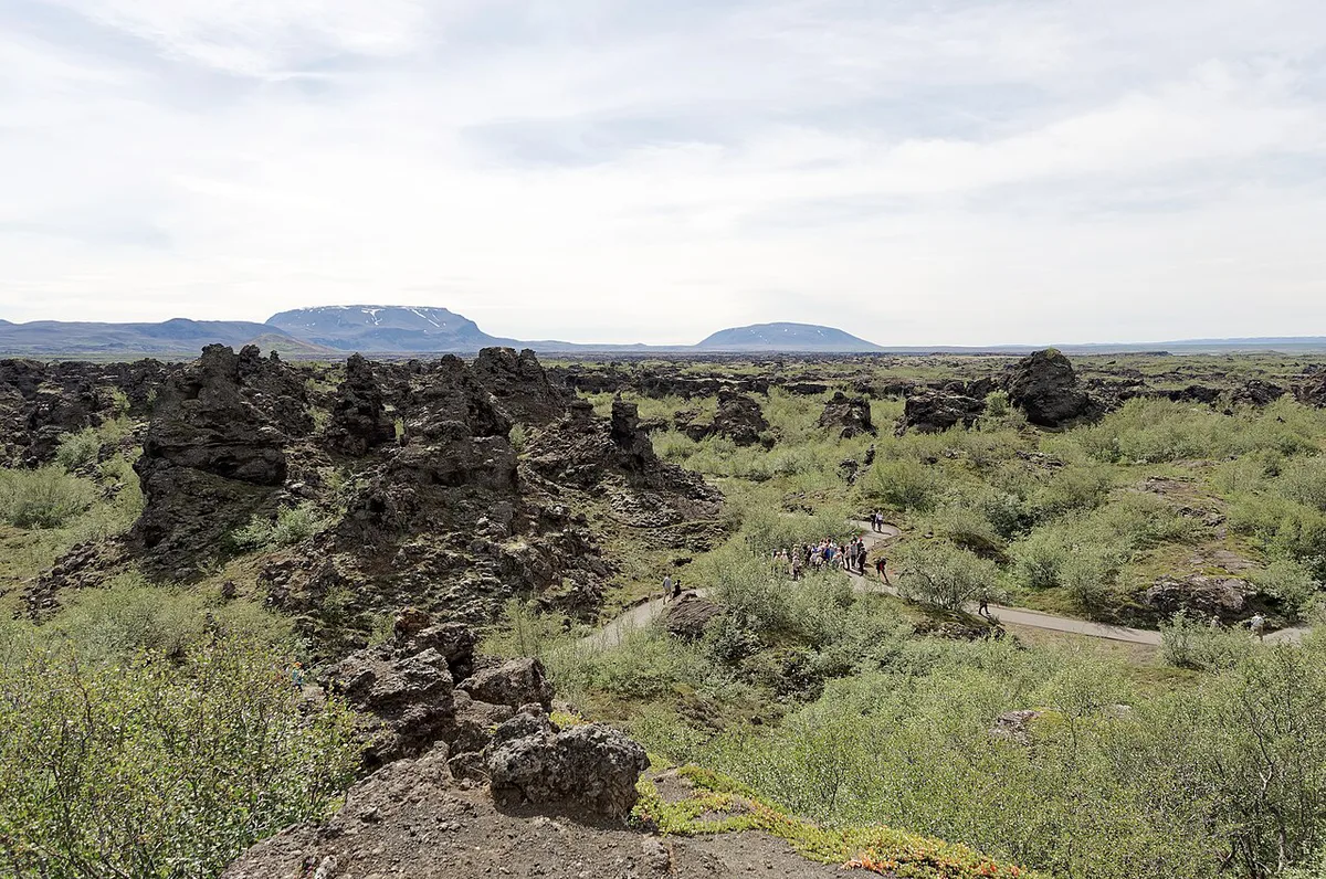
Dimmuborgir sits close to Reykjahlíð, so most visitors drive or join a Mývatn tour. Parking, facilities and any fees are not confirmed here. Check Visit Mývatn and Safetravel Iceland for current access and conditions.
Pairing Dimmuborgir with the Mývatn circuit
Dimmuborgir is a lava-formation stop. Pair it with sights that offer something different, such as geothermal fields or craters. Allow for driving time between stops, because the circuit is larger than it looks on a map. Our Krafla area guide covers the volcanic side in more depth.
| Stop | What is distinctive | Time needed |
|---|---|---|
| Dimmuborgir | Lava pillars, caves, Kirkjan | Short to medium |
| Hverir | Active geothermal ground | Short |
| Hverfjall | Large volcanic crater | Medium |
| Víti | Crater in the Krafla area | Short to medium |
| Leirhnjúkur | Lava and geothermal walk | Medium |
| Skútustaðagígar | Pseudocraters on the lake | Short |
Who should skip or shorten it
Shorten the visit if rain or wind is strong, since lava paths turn slippery. Travelers with limited mobility should check the paths first, because the ground is uneven. If you only want geothermal sights, spend your time at Hverir instead. In winter, avoid trusting the weather without checking the forecast.
Build a full-day Mývatn circuit around Dimmuborgir
Use Dimmuborgir as the scenic walking stop in a fuller Mývatn day. Its lava field formed roughly 2,300 years ago, so it offers a different experience from the region’s steaming geothermal areas. Some pillars rise to about 65 ft, making the walk worthwhile even if you do not take every marked loop.
Start with Dimmuborgir while you have energy for uneven lava paths. Continue to Hverir for active geothermal ground, then head toward the Krafla area for Víti and Leirhnjúkur. Finish at Skútustaðagígar if you want a gentler lakeside landscape. Reverse the order if your accommodation or road conditions make Krafla the easier morning stop.
This combination works best for travelers who want several types of volcanic scenery. Keep Dimmuborgir as the walking-focused part of the day. Do not treat it as a substitute for geothermal sights. Check the forecast and current route conditions before committing to the longer circuit.
Frequently Asked Questions
How do you pronounce Dimmuborgir?
Say it roughly as DIM-moo-bor-gir. The Icelandic name means "dark cities" or "dark castles".
What is a lava field?
A lava field is ground covered by lava that has cooled and hardened. Dimmuborgir is an unusual example because lava flowing over a lake left pillars, caves and arches.





