
Hverir Geothermal Area: Visit Guide, Safety & Tips
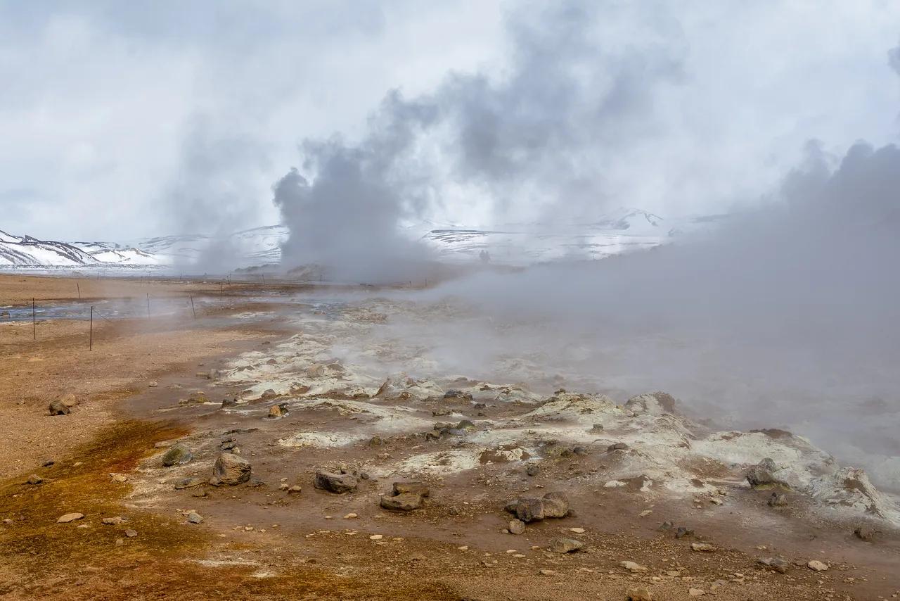
Last updated November 2026. Hverir is a high-temperature geothermal field at the Námaskarð pass, right beside the Ring Road east of Lake Mývatn, with boiling mud pots and hissing fumaroles. Icelanders also use "hverir" as a plain word for hot springs, but this page covers the Mývatn site. It makes a short, high-impact stop, and a typical visit lasts about 45 minutes.
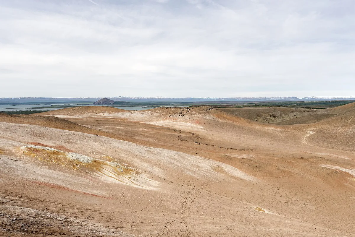
Featured image: dconvertini, CC BY-SA 2.0, via Flickr.
Hverir at a glance
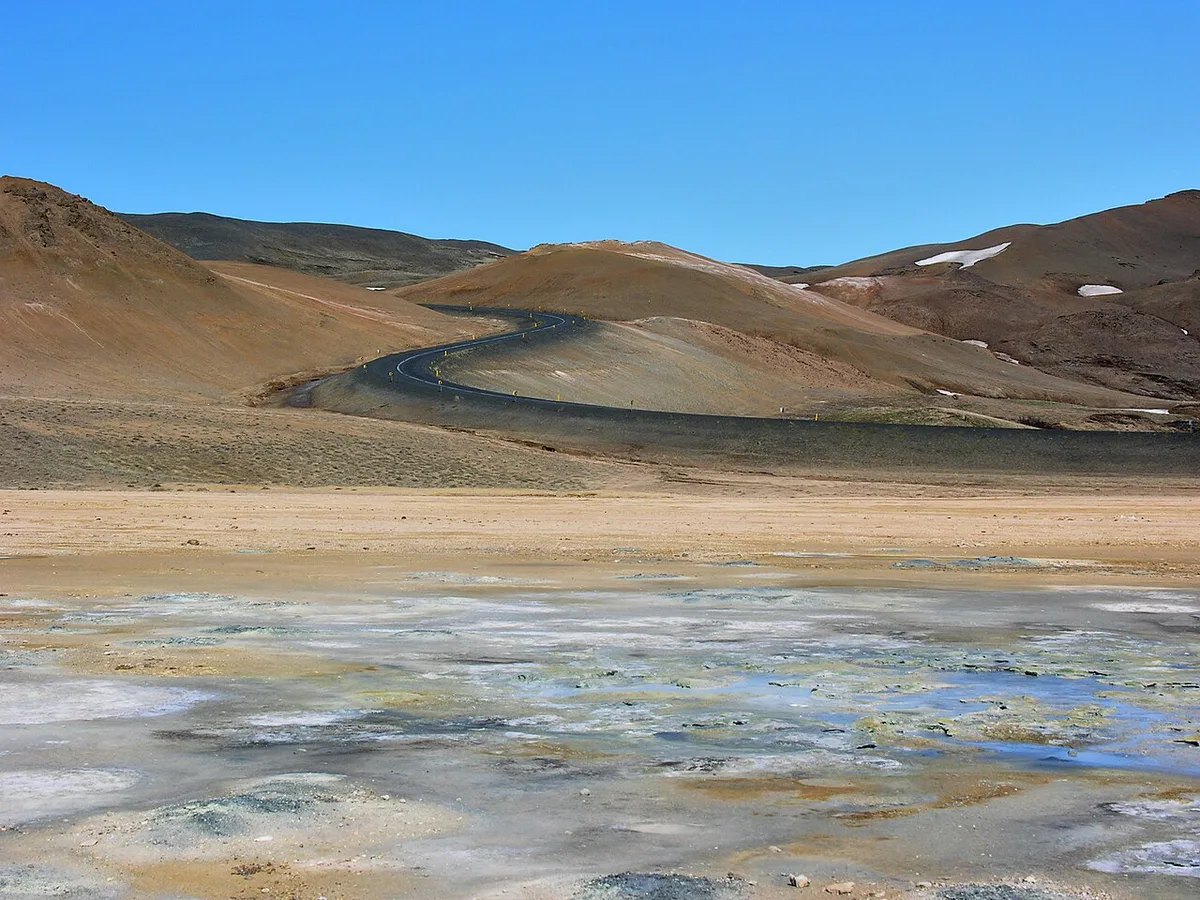
Hverir sits at the foot of Námafjall mountain, on the Ring Road as it crosses the Námaskarð pass. Reykjahlíð, the village on Lake Mývatn, is the nearest base. Ground here is bare red, orange and yellow earth with steam vents and bubbling clay. Almost nothing grows on it.
- Location: Námaskarð pass, Ring Road, east of Lake Mývatn, North Iceland
- Typical visit: about 45 minutes
- Cost: parking is paid; check the current fee and payment method at the site
- Facilities: toilets on site, which may also be paid
- Setting: open-air, with boardwalks and marked paths
Is Hverir worth it? Who it suits
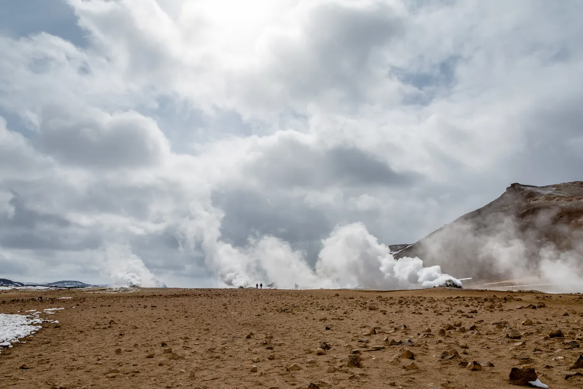
Hverir earns its stop for Ring Road and Diamond Circle drivers, geology fans and photographers. It asks very little effort, because you park beside the field and walk a short loop. Skip it or shorten the visit if a strong sulfur smell bothers you. Visitors with limited mobility should check the surface and path conditions before committing, since wet clay ground can be slippery. Anyone with a tight day can still stop for a quick look from the platforms.
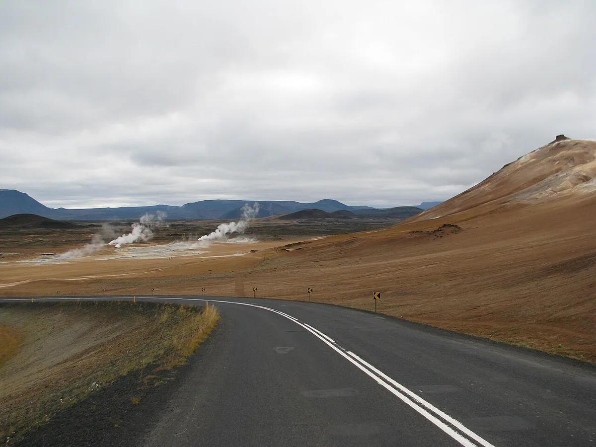
How much time to plan at Hverir
Most visitors spend about 45 minutes, which covers the paths, the main mud pots and photos. A quick roadside look takes much less, but you will miss the best vantage points. Hikers can add the steep Námafjall ridge directly behind the mud pots. Treat the ridge as an extra hour-plus commitment with a tricky descent, especially in wet weather.
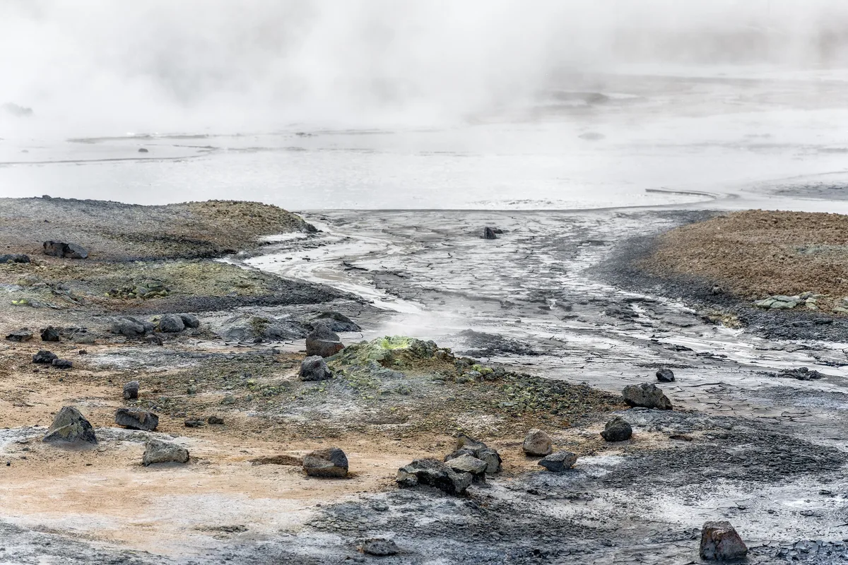
- Quick stop: park, walk the nearest boardwalk, take photos
- Typical visit: about 45 minutes on the paths
- Longer visit: add the Námafjall ridge, only in dry, clear conditions
Getting there, parking and facilities
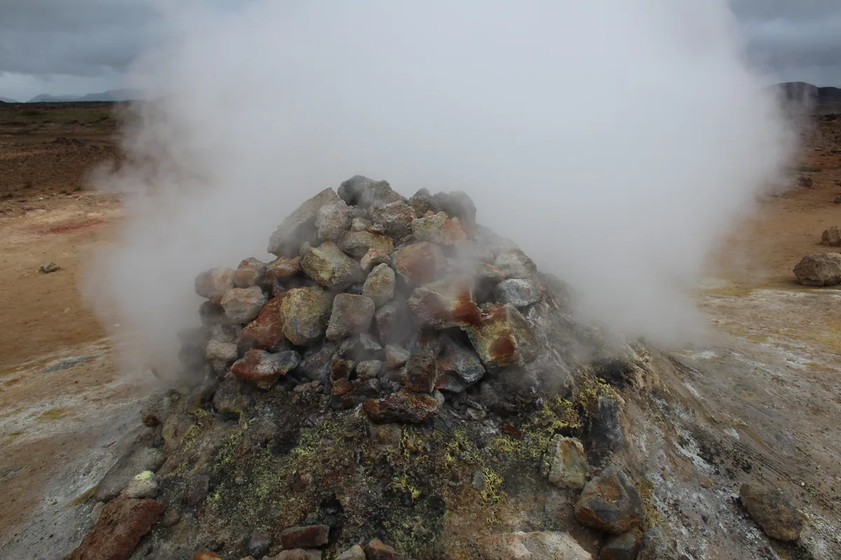
Hverir lies directly on Route 1, so you reach it by car from Reykjahlíð in a short drive east. Parking is paid, and the toilets may carry a charge too. Local tourism offices such as Visit Mývatn publish current local information. Winter road conditions at the Námaskarð pass change quickly, as the road report shows. Map coordinates are approximately 65.6409° N, 16.8092° W.
Staying safe on the paths
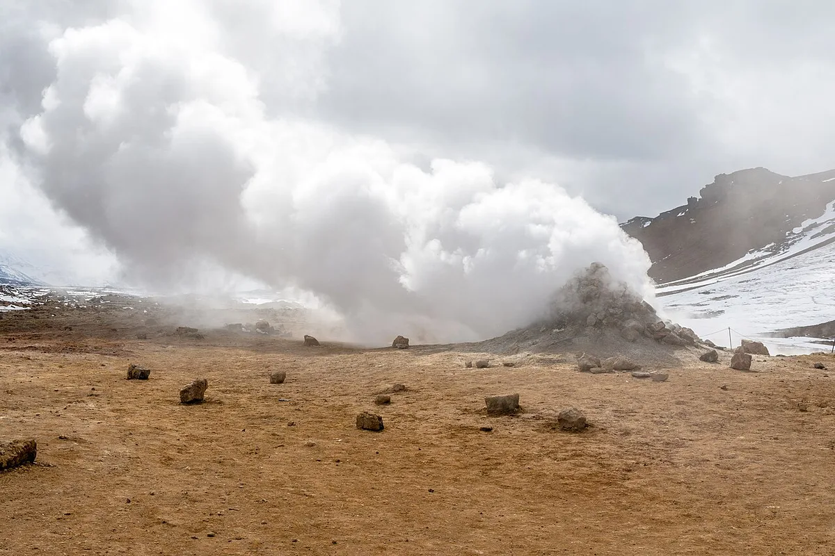
Light-colored soil around the vents is often a thin crust over boiling mud at 100°C (212°F) or hotter. Breaking through can cause severe burns. Stay on the marked paths and platforms, and keep children and pets close. Wet weather makes the clay slick, so slow down. Steam can also fog or damage camera gear if you linger in it. For current guidance on geothermal areas, see Safetravel Iceland.
Pale crust can hide mud at 100°C (212°F), so a telephoto lens lets you shoot bubbling pots without leaving the marked path.
Why Hverir smells and what you're seeing
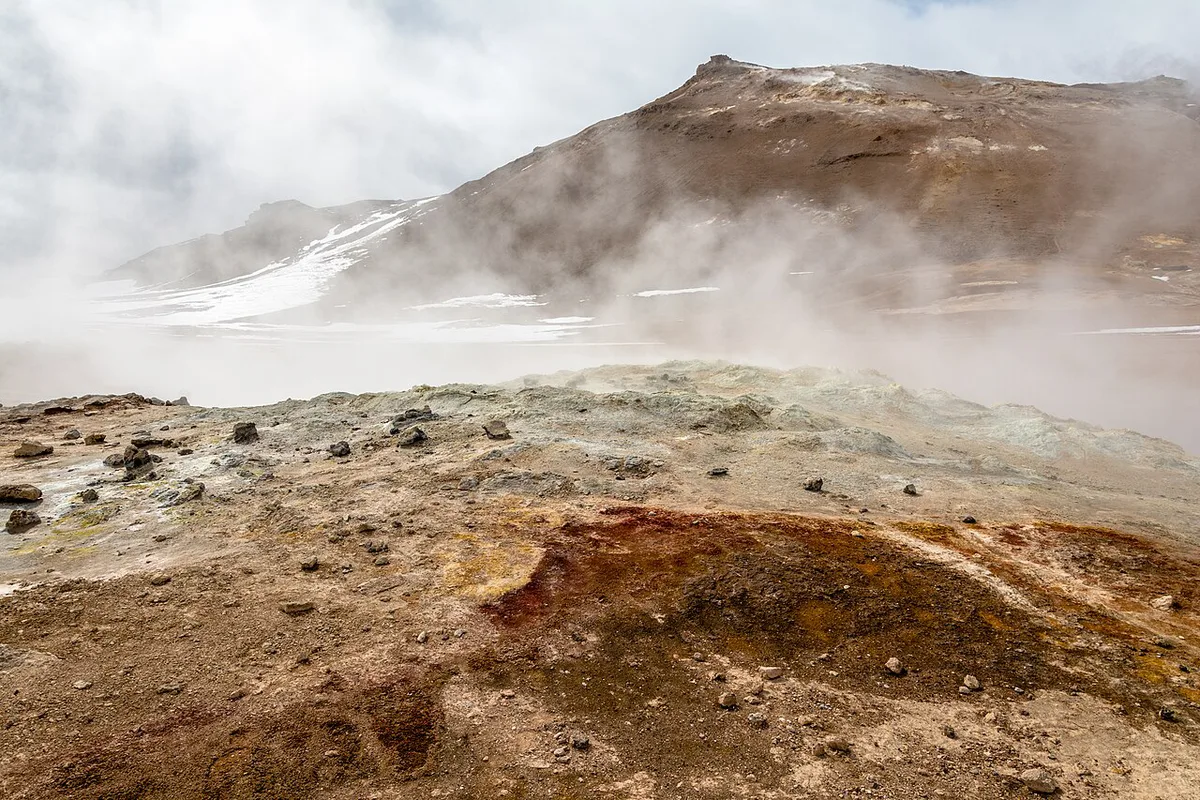
Groundwater here is heated by magma a few kilometers below. Hydrogen sulfide gas rises with the steam and gives the rotten-egg smell. Acidic steam dissolves rock into clay and mud, which is why the pots look like boiling paint. Sulfur deposits and minerals create the yellow, orange and white streaks. Wear clothes you do not mind smelling of sulfur afterward, because the odor clings to fabric, especially in wind. Bring a windproof layer too.
Best time to visit and photography
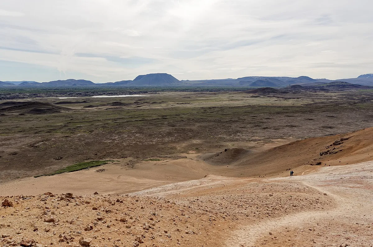
Early morning or late evening light is lower and picks out the steam plumes and the orange and red ground. Midday tends to be flatter and, by reviewers' accounts, busier. Summer brings the longest daylight, while winter visits need extra care with roads and icy boardwalks. A telephoto lens isolates bursting mud bubbles without leaving the path. Keep the lens out of dense steam.
Weather and climate at Hverir by season
Hverir sits inland at about 65.6° N, on an open pass with no shelter. The Mývatn area is generally drier than Iceland's south coast, but wind and fast-changing conditions matter more here than rainfall. The figures below are approximate seasonal norms, not forecasts.
| Season | Typical daytime temperature | Daylight | What it means at Hverir |
|---|---|---|---|
| Summer (June to August) | about 8-15°C (46-59°F) | Near-continuous light around midsummer | Dry boardwalks, the easiest walking, and a late evening visit is possible. Expect wind and a cool breeze even on sunny days. |
| Autumn (September to October) | about 0-8°C (32-46°F) | Shortens quickly | Fewer visitors and softer light. Wet clay is slippery and the first frost can glaze the paths. |
| Winter (November to March) | about -8 to 0°C (18-32°F) | Only a few hours around December | Steam plumes look dramatic against snow, but boardwalks ice over. Plan around the road report for the Námaskarð pass. |
| Spring (April to May) | about -2 to 7°C (28-45°F) | Lengthens fast | Patchy snow and mud, with conditions that can change within a day. |
Dress in layers year-round. Wind carries the sulfur smell and the steam, so a windproof shell does more here than a thick jacket. Steam drifts with the wind direction, so a path that is clear when you arrive can be hidden in fog a few minutes later. In cold weather the vents look larger because the steam condenses more visibly, which makes winter a strong time for photographs if the roads allow it.
Before leaving Reykjahlíð, check the Icelandic Met Office forecast at en.vedur.is and the road report for the Ring Road across the pass.
Combine Hverir with nearby Mývatn stops
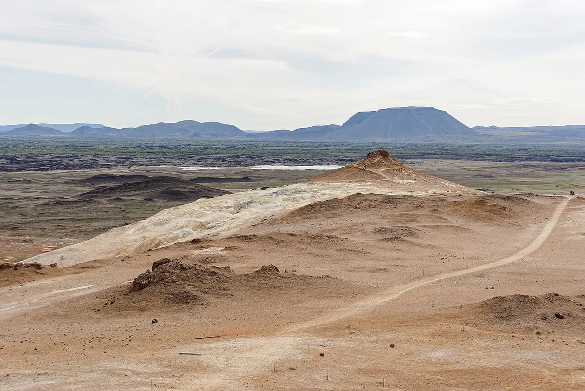
Hverir is roadside and low effort. Krafla is the volcanic caldera area, with bigger walks and a different scale of landscape. Approximate road distances from Hverir are listed below; use a map for exact routes when planning your day.
About 9 km (5.6 miles) from Hverir, Víti is a short drive after a typical 45-minute visit.
| Stop | What it is | From Hverir | Best fit |
|---|---|---|---|
| Leirhnjúkur | Lava field and geothermal walk at Krafla | See map | Walkers who want more than a roadside look |
| Víti crater | Explosion crater at Krafla | About 9 km (5.6 miles) | Short crater-rim viewing |
| Hverfjall | Large crater with a hiking route | See map | Hikers |
| Dimmuborgir | Lava formations | About 7 km (4.3 miles) | Easy walks, families |
| Skútustaðagígar | Pseudocraters beside the lake | See map | Lake-side stop |
| Grjótagjá | Lava cave | About 4 km (2.5 miles) | Quick detour |
Frequently Asked Questions
What are some things to do in Mývatn, Iceland?
Start with Hverir for geothermal features. Add Krafla, Dimmuborgir and Grjótagjá, all within roughly 4 to 9 km of Hverir. Check Visit North Iceland for regional planning.
What is Víti Crater in Iceland?
Víti is a crater in the Krafla area, about 9 km from Hverir. It is a short drive from the mud pots. Our Víti guide covers the walk in more detail.




