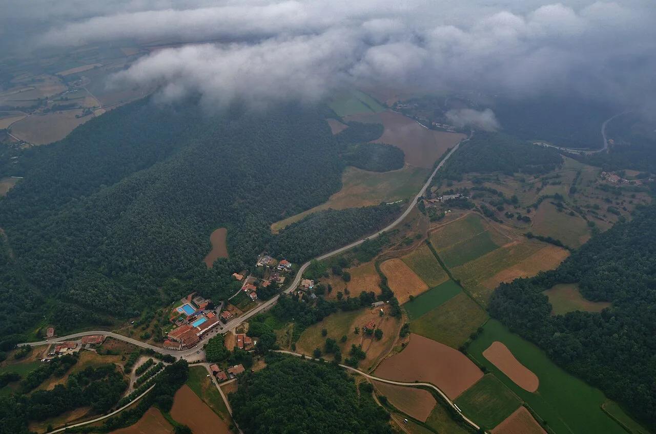
Santa Margarida Volcano: Crater Walk & Visitor Guide
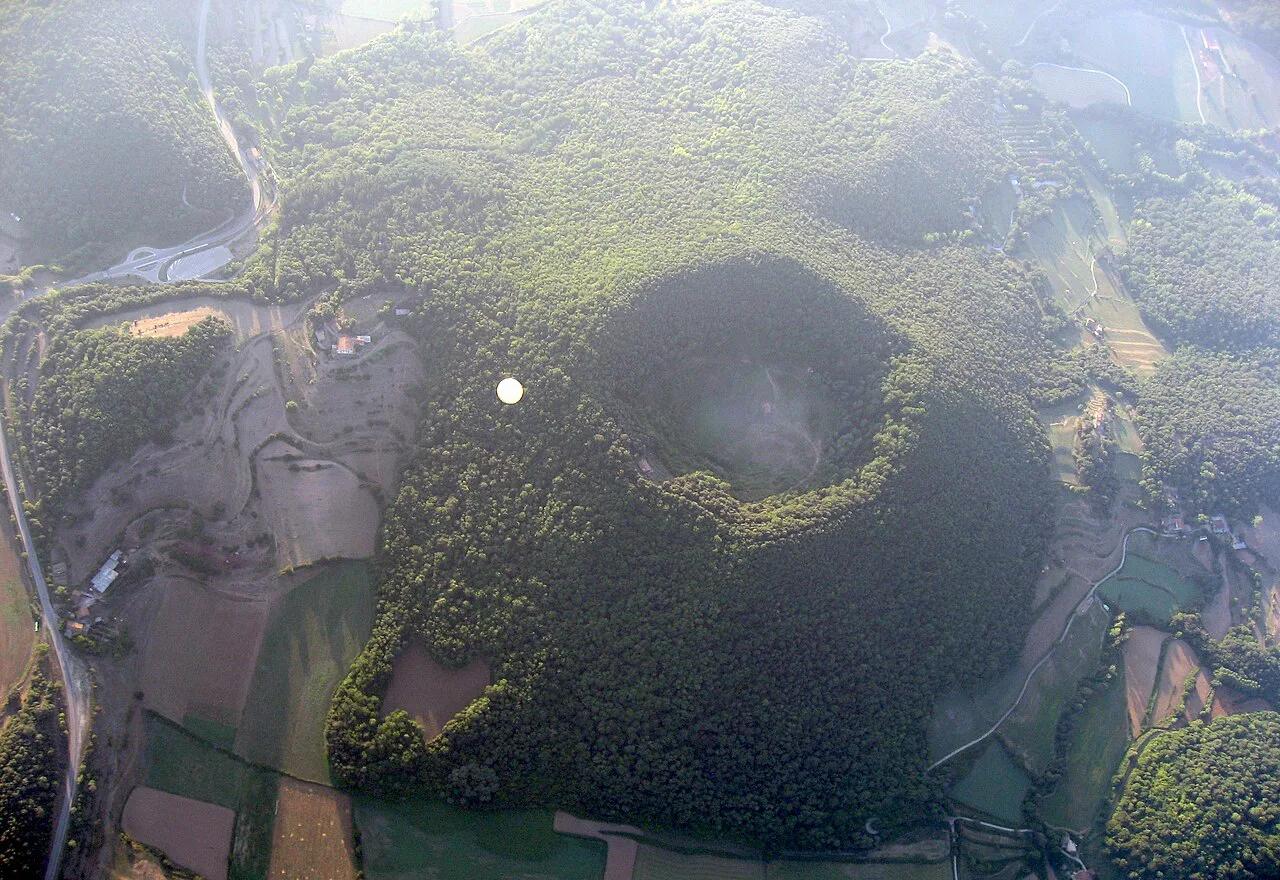
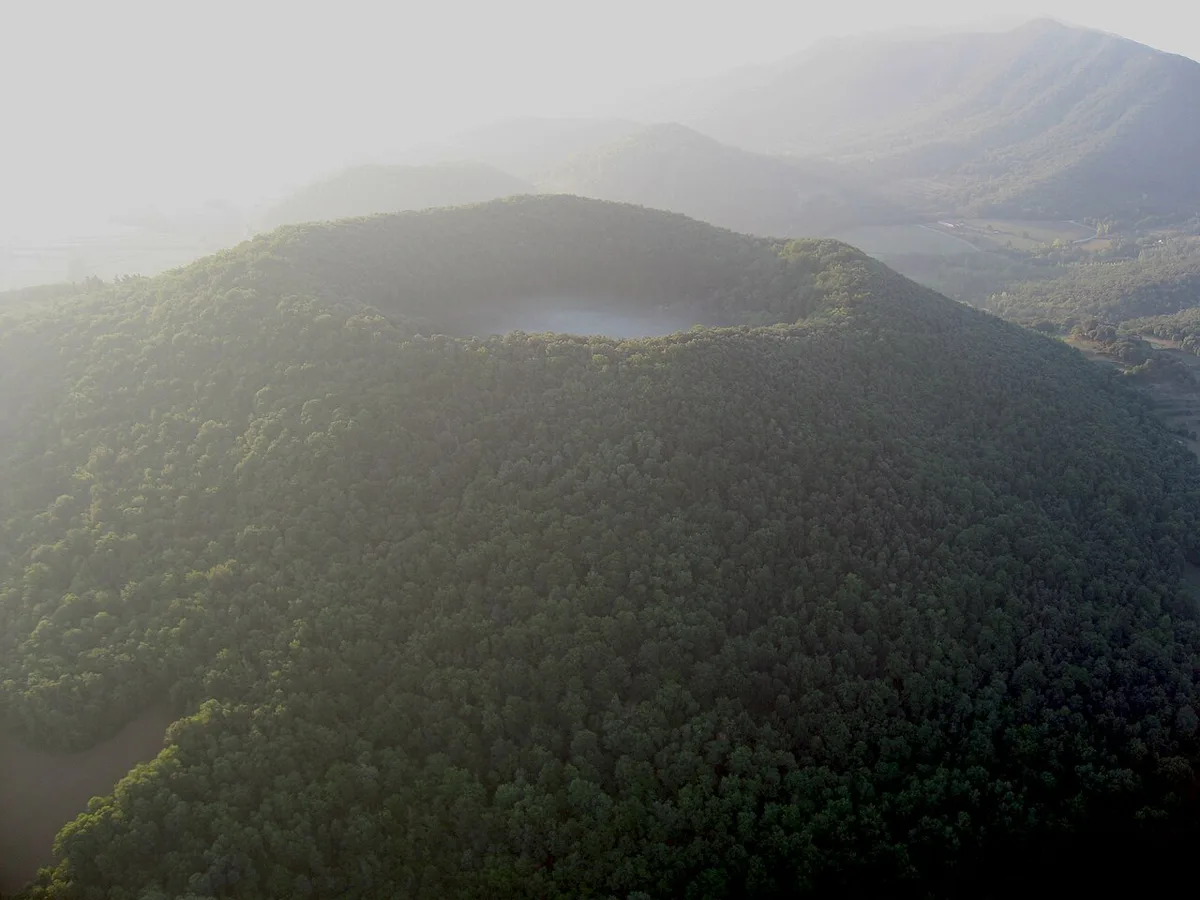
Last updated November 2026: the Santa Margarida volcano (Volcà de Santa Margarida) is an extinct crater in the Garrotxa park's volcanic landscape, with a Romanesque hermitage on its floor. You walk down into a wooded, circular bowl roughly 100 metres (about 330 ft) deep instead of climbing a cone. A loop of about 6 km (3.8 miles) takes roughly 1 hour 45 minutes, which makes it a good morning outing from Olot or Santa Pau.
Featured image: Abel Garcia Villena, CC BY-SA 3.0, via Wikimedia Commons.
Santa Margarida Volcano at a Glance
Santa Margarida sits in the municipality of Santa Pau, in Garrotxa, Girona province, between Olot and Santa Pau. The Catalan park authority calls it one of the most significant elements of the Garrotxa volcanic landscape. Route data below comes from a user-recorded loop, so treat the figures as approximate.
| Detail | What to know |
|---|---|
| Location | Municipality of Santa Pau, between Olot and Santa Pau |
| Type | Extinct volcano with a circular, symmetric crater |
| Short loop | About 6.08 km (3.8 miles), roughly 1 hr 45 min, 150 m (about 490 ft) of ascent |
| Difficulty | Rated easy on the recorded loop |
| Highlight | Romanesque hermitage on the crater floor |
| Access and costs | Check the park's current guidance |
What Makes This Volcano Different
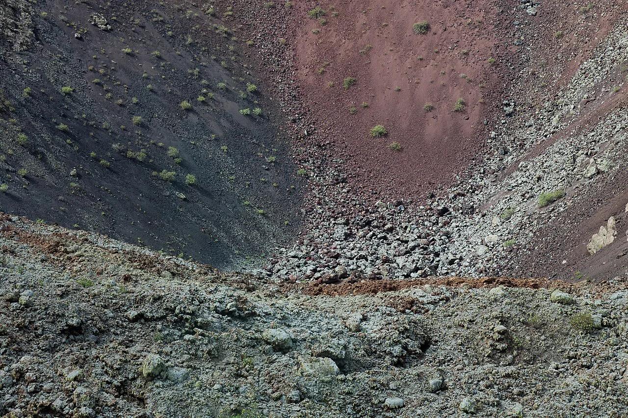
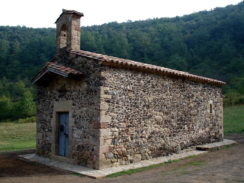
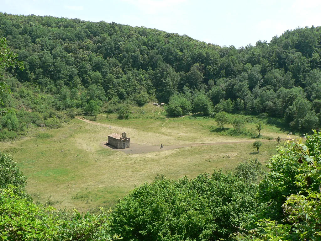
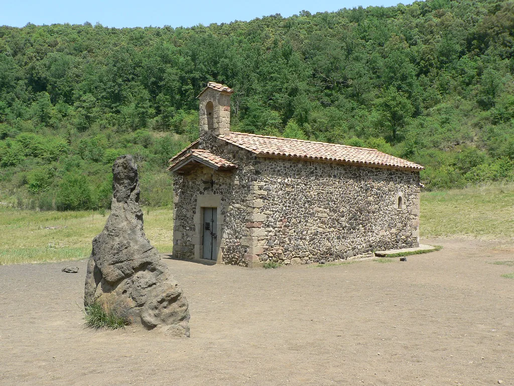
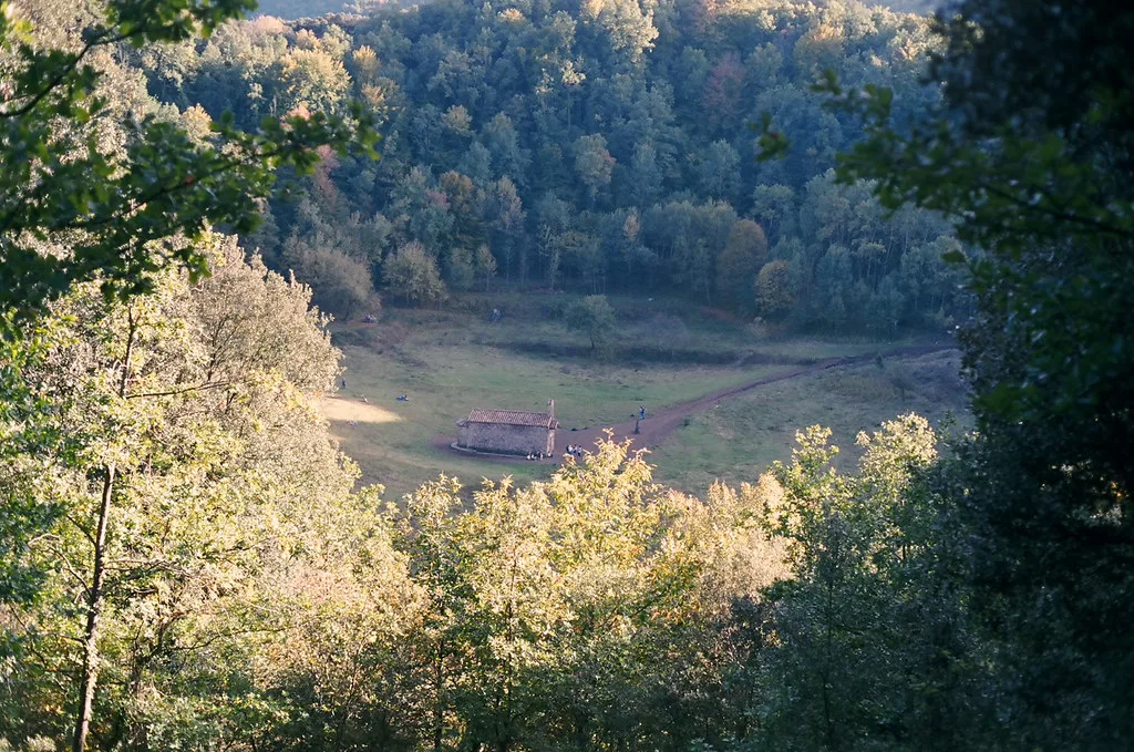
Most visitors expect a cone with a summit view. Santa Margarida works the other way round, because the path leads you into the crater. Its activity began with phreatomagmatic eruptions, which means magma met water and blasted out ash and debris in steam-driven explosions. That phase shaped the circular, symmetric bowl, according to the Garrotxa park authority. The whole edifice was later buried under ejecta from Croscat's neighbouring cone. The hermitage of Santa Margarida stands at the bottom of the crater, and route notes also write its name as Santa Margarida de Sacot. Trees fill the walls and floor, so the bowl reads as a sheltered clearing, not as bare volcanic rock.
Walking Routes: Short Loop vs Santa Margarida + Croscat
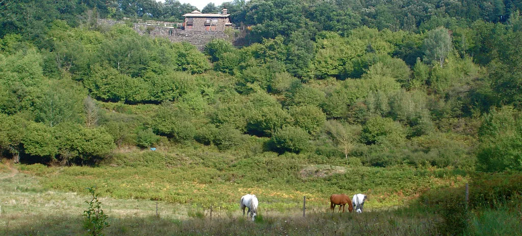
Two recorded routes cover this area. The short loop starts beside a car park and passes La Fageda, the chapel in the crater, a wooden sculpture trail and a picnic area with a toilet. Its highest point is 720 m (about 2,360 ft) and its lowest is 590 m (about 1,935 ft). The longer circuit adds Croscat and suits walkers who want both volcanoes in one outing. Figures are approximate and come from walkers' recordings.
| Route | Distance | Time | Ascent | Rating | Best for |
|---|---|---|---|---|---|
| Santa Margarida crater loop | 6.08 km (3.8 miles) | About 1 hr 45 min | 150 m (about 490 ft) | Easy | A morning, families, first-timers |
| Santa Margarida + Croscat circular | 12.1 km (7.5 miles) | About 3 hr 25 min | 240 m (about 790 ft) | Moderate | A half or full day, confident walkers |
How to Get There and Where to Park
Base yourself in the town of Olot or in Santa Pau, since the volcano lies between the two. The recorded loop starts at a car park, 633 m above sea level, and returns to it. Barcelona visitors can plan the trip using our guide to volcano day trips from Barcelona. Bus services and parking rules change, so check the Visit Garrotxa tourism site for current options.
Starting at 633 m above sea level, the car park sits between the short loop's 590 m low and 720 m high points.
When to Go and What to Expect
Most of the loop runs through woods, and walkers describe it as comfortable even on warm days. Shade is the main appeal in summer. After rain, expect mud on the forest paths and in the crater, so wear shoes with grip. The recorded route is 4.16 km of path, 1.32 km of road and 391 m of hiking path, with gravel the most common surface at 3.09 km. Carry your own water and food. The picnic area has a toilet, though one walker calls it a bit run down.
Costs, Access and Rules
No entry fee, opening hours or interior access for the chapel is confirmed here. The park also lists a museum space, EM del Volcà de Santa Margarida, so check the official park page for current hours and rules on dogs, drones and fires.
Pair It With: Croscat, La Fageda, Santa Pau and Olot
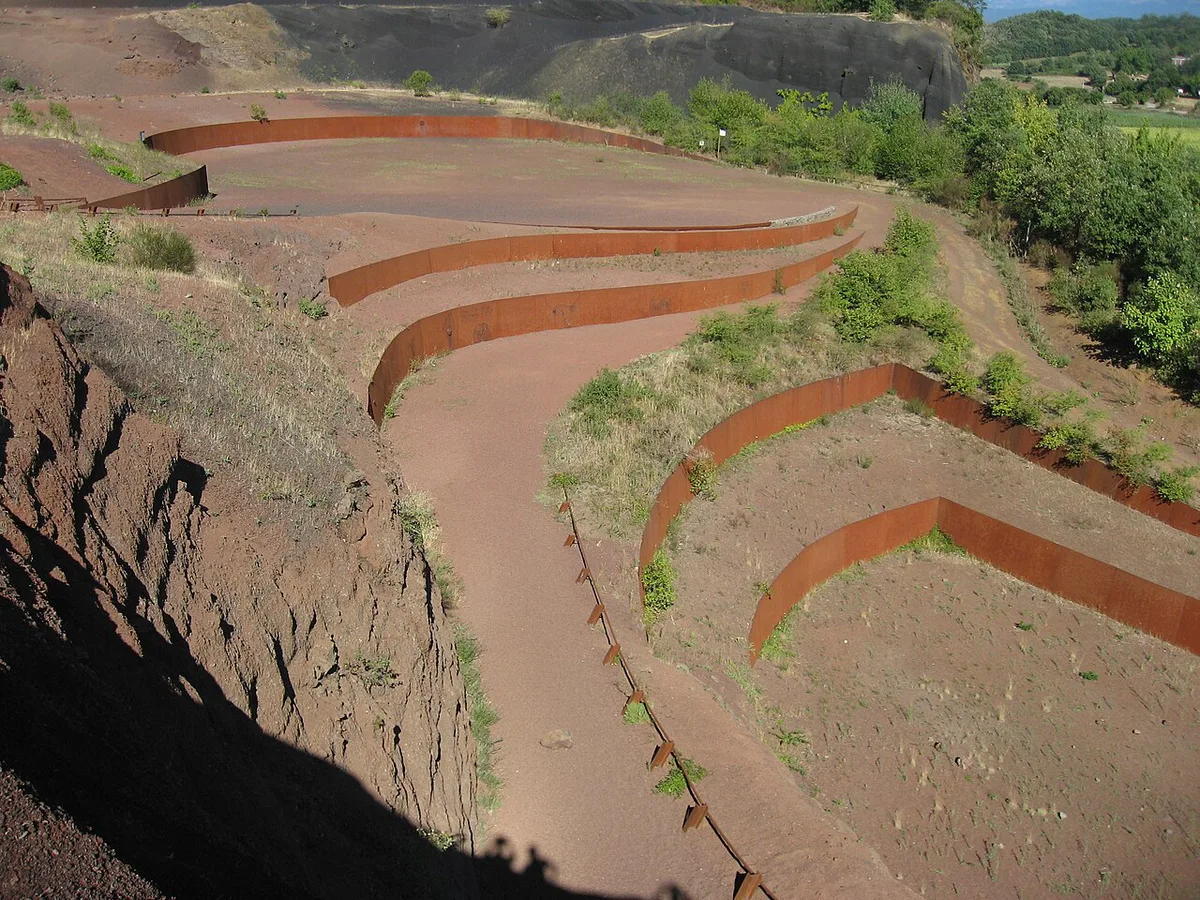
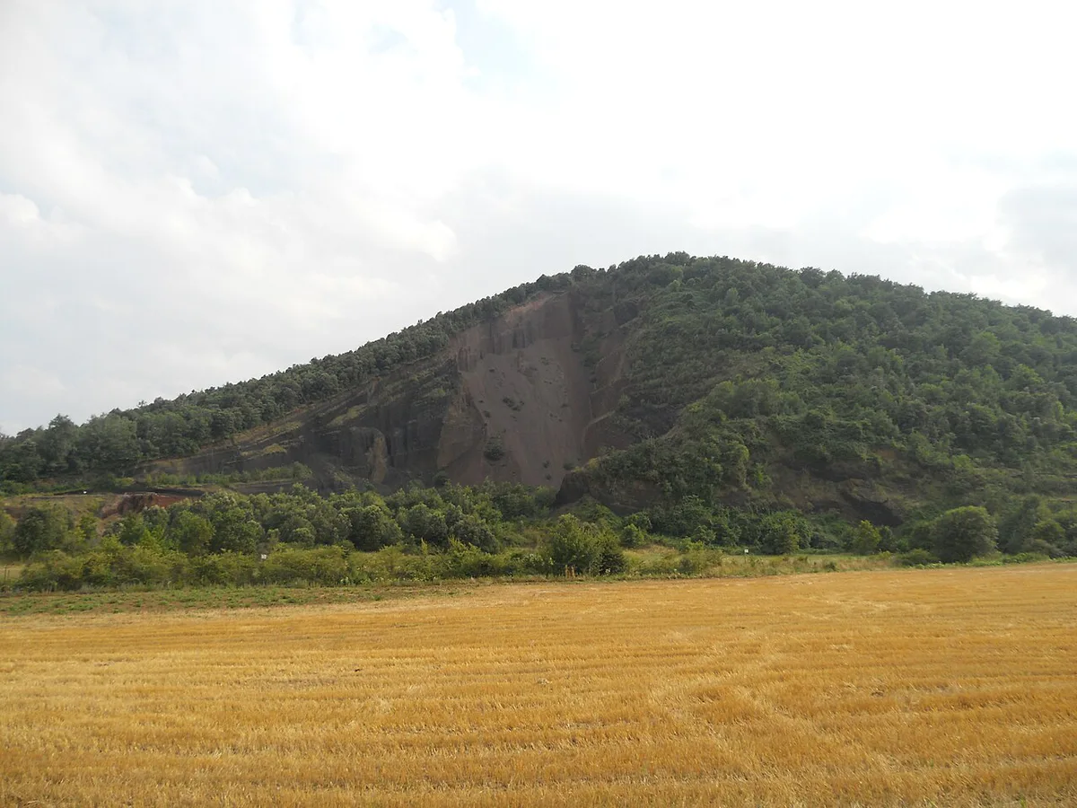
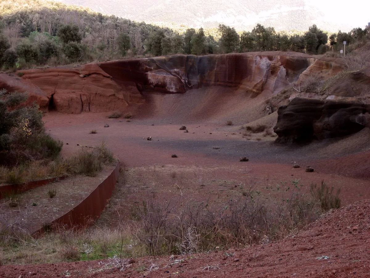
Croscat is the obvious partner, and the 12.1 km circular links both volcanoes. The short loop already passes La Fageda and the Coll de Caselles plain, where a cornfield lies at the foot of Croscat. Use these plans as a starting point.
- Half day: do the 6.08 km crater loop in about 1 hr 45 min, then lunch in Santa Pau.
- Full day: walk the 12.1 km Santa Margarida and Croscat circular in about 3 hr 25 min, then finish in Olot.
- Add-on stop: drive on to the cliff-top village if daylight remains.
- Wider trip: compare other Spanish volcanic areas before choosing your next destination.
Is It Worth It? Who Should Skip It
Choose Santa Margarida if you want a gentle forest walk that ends in a crater with a chapel. Skip it if you want a summit panorama, have under 2 hours, or need step-free access. Croscat, which the park says buried this volcano, offers a different experience. Do both if you can spare a full day.
Time is tight, since the crater loop takes about 1 hr 45 min and under 2 hours leaves little margin.
- Mistake: expecting a summit view, when the walk goes down into the crater.
- Mistake: wearing smooth soles after rain, when forest paths turn muddy.
- Mistake: arriving without checking access details on the park's current guidance.