Puy de Dôme Guide: Train, Hike, Cost and Timing
Last updated November 2026: the Puy de Dôme rises to 1,465 m above Clermont-Ferrand, and you reach the summit by rack train or on foot. Take the train for speed and low effort, or the Chemin des Muletiers for the full climb. This puy de dome guide covers routes, timing, weather and pairings, with a link to the wider list of Volcanoes in France: Where to See Them & Plan a Visit.
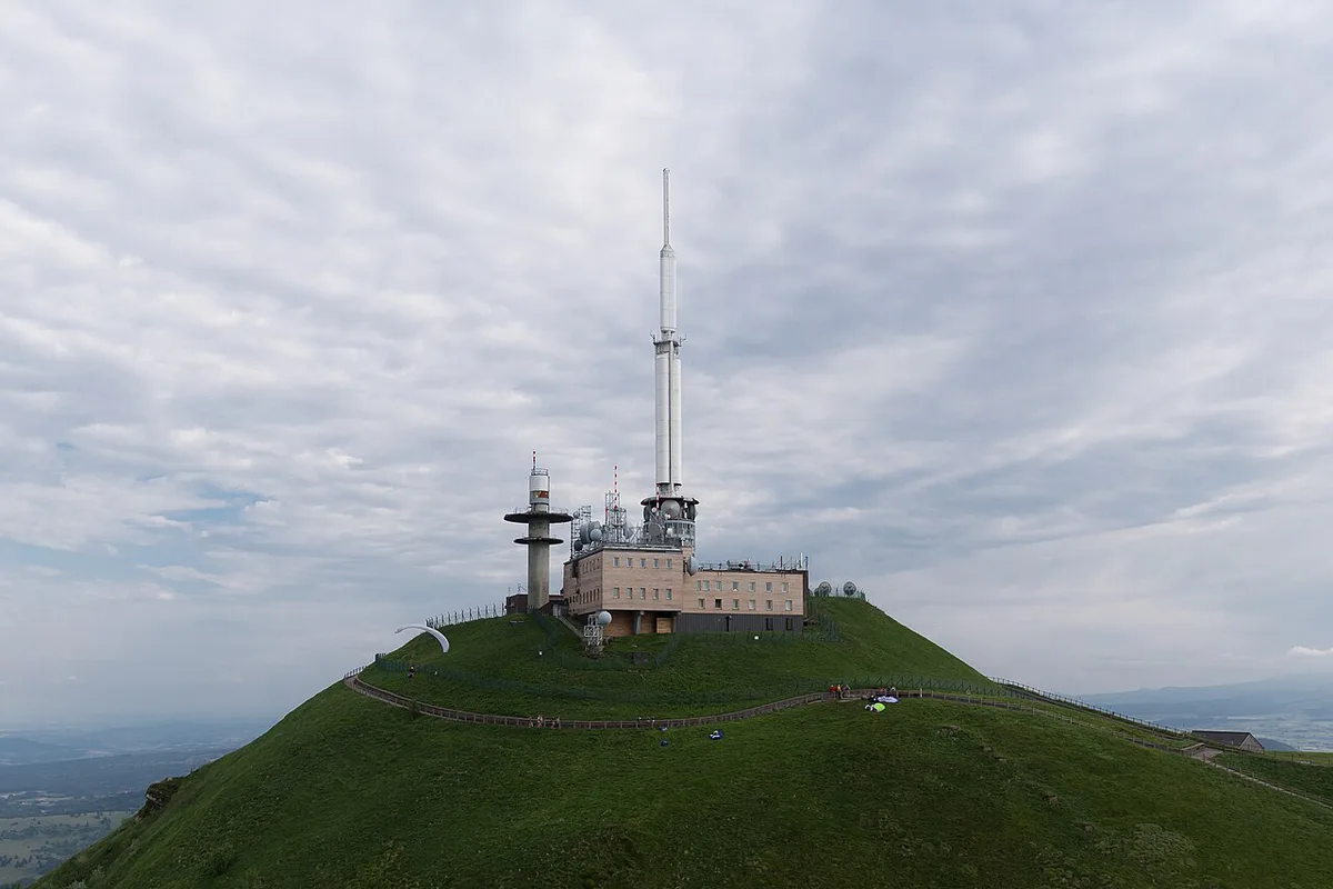
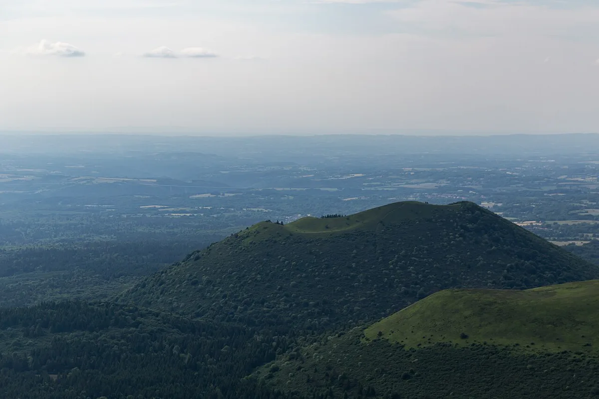
Featured image: Another one of my pictures:[[File:|150x150px]] This photograph was taken by Medium69 (William Crocho, CC BY-SA 4.0, via Wikimedia Commons.
Puy de Dôme at a glance
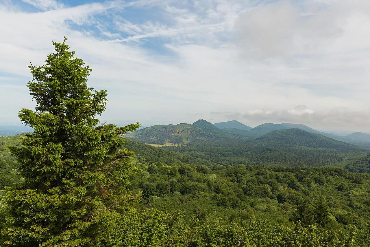
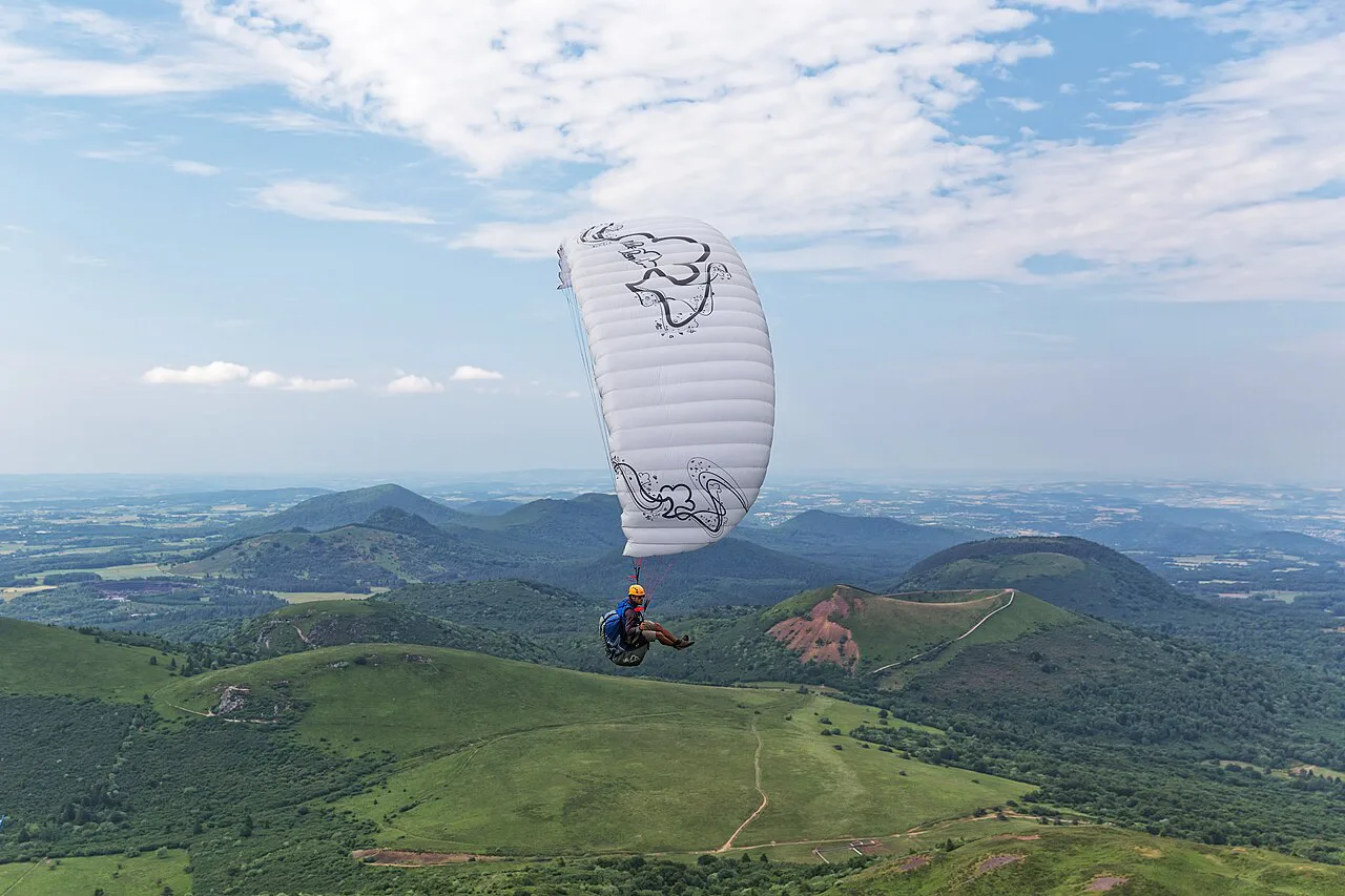
Puy de Dôme is a volcano in the Chaîne des Puys, with its summit above the commune of Orcines. Its maximum altitude is 1,465 m. The Département du Puy-de-Dôme runs the Grand Site, and its official site is the place for current operating details. The Muletiers trail is listed as open daily all year, and walking access is free. Choose the train if you have an hour or less, small children or tired legs. Choose the trail if you want 531 m of climbing and a loop of 10.7 km.
Puy de Dome: train, hike or car
Three routes lead to the top, and each starts somewhere different. Do not blend their times, because the start point changes the answer. Cars no longer drive to the summit, since the rack train replaced summit traffic in 2012. Drivers park at the Maison de Site car park or at the Col de Ceyssat and continue on foot or by train.
| Route | Start | Time | Effort | Cost | Weather sensitivity |
|---|---|---|---|---|---|
| Panoramique des Dômes rack train | Train departure station | Short ride; check the current timetable | Low | Paid; check the current fare | Summit cloud hides the view |
| Chemin des Muletiers, short variant | Col de Ceyssat | 50 min up | Steep; 365 m of ascent | Free | Wet, slippery path in rain |
| Chemin des Muletiers, loop | Maison de Site car park | 2 h 15 up; 3 h return, 10.7 km | Demanding; 531 m of ascent | Free | Wind and cloud at the top |
| Chemin des Chèvres descent | Summit | Check locally | Moderate | Free | Wet path in rain |
- Choose the train if you want the summit view with little effort.
- Choose the short Muletiers variant if you want the climb in under an hour.
- Choose the loop from the Maison de Site if you have most of a morning.
- Choose the Chemin des Chèvres if you want a different route down.
Hiking the Chemin des Muletiers
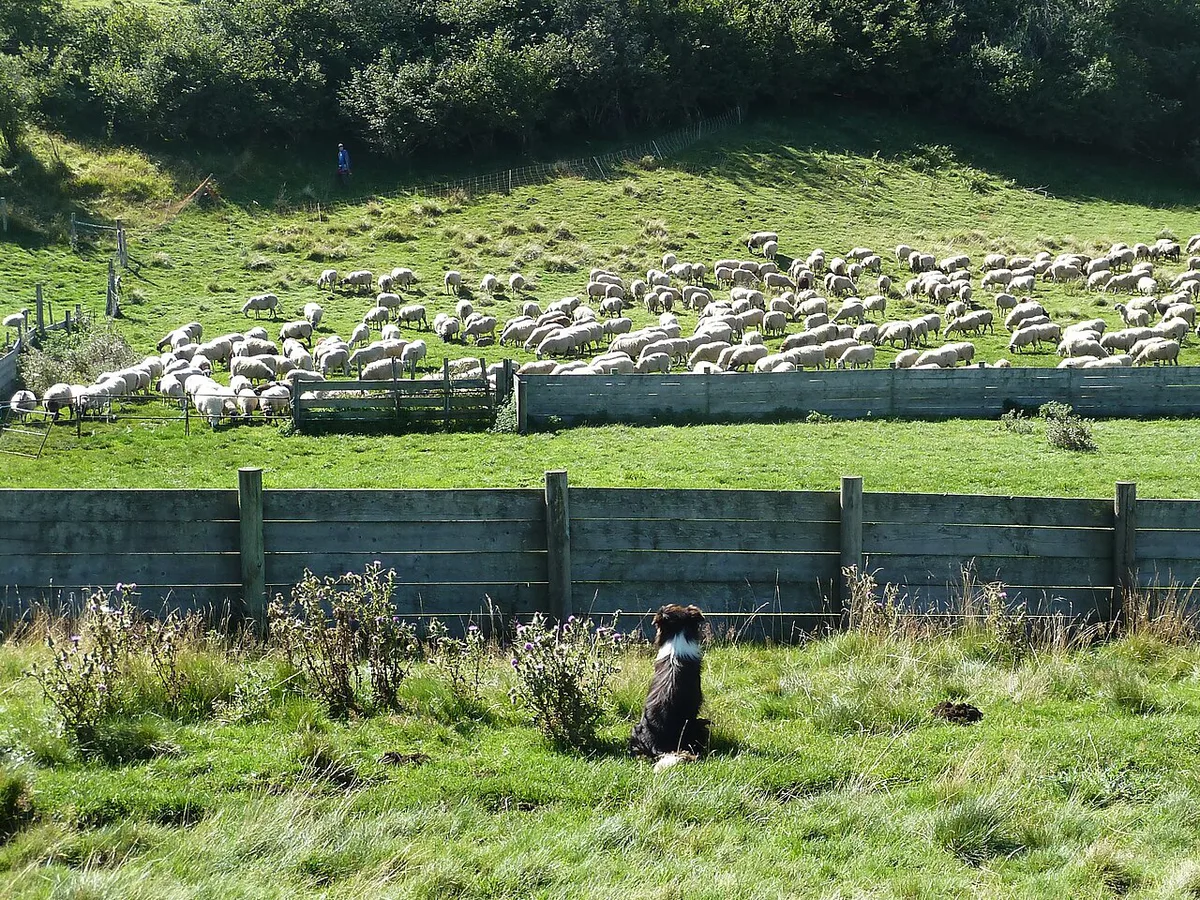
The Chemin des Muletiers has been used since ancient times. It is the shortest route to the summit and the most challenging. From the Col de Ceyssat it takes 50 min. Starting at the Maison de Site car park adds the yellow PR "Tour du puy de Dôme" through the Rochetoux woods to reach the col. That loop is 10.7 km, with 531 m of ascent and a 3 h return. Signage runs from yellow markings to red and white GR markings. For the way down, follow the road beside the rack railway for 300 m to the stairs. Then follow the GR to the Cîme de la Plaine and turn right onto the yellow PR to the Maison de Site. Dogs are allowed on a lead, and the route is not wheelchair accessible.
- Setting off without checking for summit cloud.
- Mixing up the two trailheads: the Col de Ceyssat gives the 50 min climb, the Maison de Site the 2 h 15 one.
- Assuming the train always runs.
- Missing the yellow PR turn at the end of the Chemin des Chèvres descent.
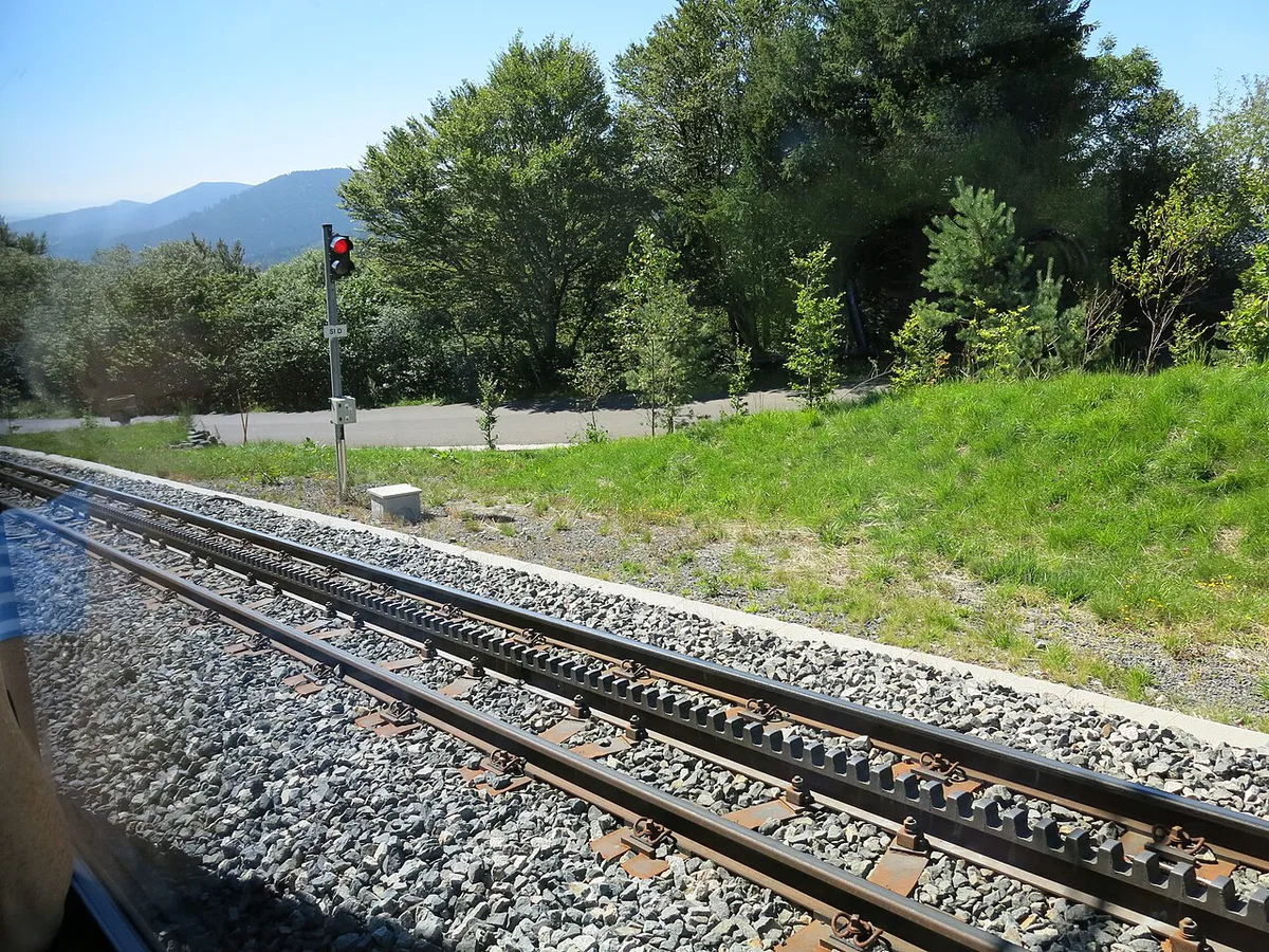
The Panoramique des Dômes rack train
The Panoramique des Dômes is an electric rack train that climbs to the top. Earlier reports put the ride at about 20 minutes from the visitor centre. Fares, frequency and season dates change, so read the current timetable and prices on the Département's Puy de Dôme site before you plan around them. Winter schedules, maintenance closures and weather suspensions also vary. Ask about train accessibility for wheelchairs and pushchairs at 04 73 62 21 46.
What to see at the summit
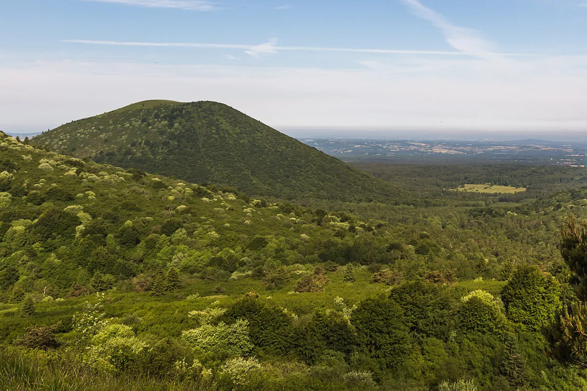
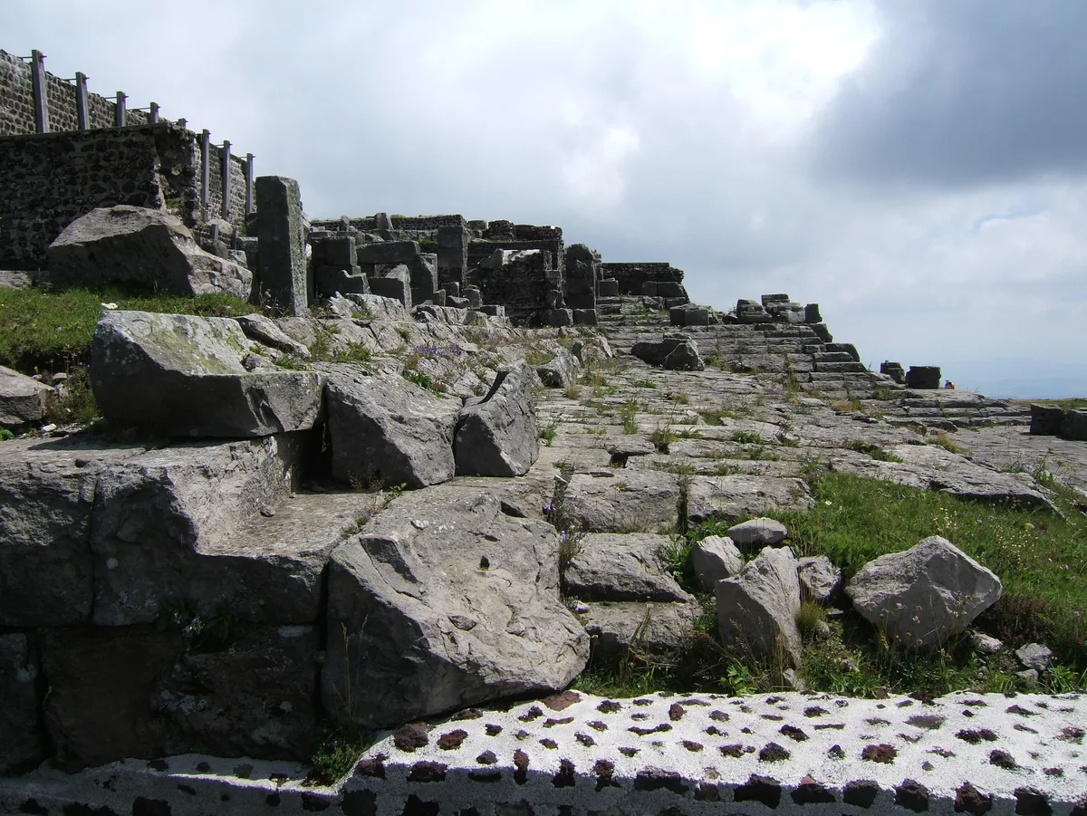
On a clear day you get 360° views over the Chaîne des Puys and the Limagne plain. Remains of the Temple of Mercury, a Gallo-Roman sanctuary, sit on top. Its vestiges came to light when work on the observatory began in 1876. The observatory is still used for atmospheric research, as the Observatoire de Physique du Globe de Clermont-Ferrand explains. An 85 m TV antenna, built in 1956, marks the skyline. Orientation boards, public toilets and a defibrillator are on site. The Maison de Site lower down is the visitor reception.
Costs, opening hours and accessibility
Walking access is free, and the Muletiers route is listed as open daily all year. The train is the paid option. Prices and hours checked November 2026 for walking access; confirm the fare for the train on the operator's site. Parking at the Maison de Site car park was not priced in our sources. Call the Département's visitor line on 04 73 62 21 46 for road and parking questions.
| Item | What to know |
|---|---|
| Walking access | Free, open daily all year |
| Train fare | Paid; check the current fare |
| Dogs | Allowed on a lead |
| Wheelchair access, Muletiers | Not accessible |
| Visitor line | 04 73 62 21 46 |
When to go and what to do in bad weather
Summit cloud can hide the view even when Clermont-Ferrand is clear. Check the live webcam or a weather forecast before you commit to a 3 h loop. Strong wind and poor visibility make the exposed upper path less pleasant. If the top is in cloud, the Maison de Site exhibits are one fallback. Another is the guided visit at Volcan de Lemptégy: Visit Guide, Tickets & Tips, which works on wet days. Young children and anyone with limited mobility should take the train rather than the trail.
If cloud sits on the top, skip the 2 h 15 up from the Maison de Site and head to the exhibits there instead.
Getting there from Clermont-Ferrand and where to stay

Clermont-Ferrand is the practical base, with the widest choice of dining and transport. Our Clermont-Ferrand volcano guide lists sites reachable from the city. The Maison de Site and the Col de Ceyssat are trailheads on the plateau above it, so a car makes the first start easiest. Public transport options should be confirmed with the Département. Orcines puts you closest to the trail. Volvic suits a quieter stay, and you can pair it with the Volvic Volcano: What to Visit Near Volvic, France.
Drivers heading to the Col de Ceyssat or Maison de Site trailheads can call 04 73 62 21 46 for road and parking questions.
Combine with nearby volcanoes
For one hour, take the train and spend the time at the top. For a half day, walk up the short Muletiers variant in 50 min, then ride down or take the Chemin des Chèvres. For a full day, add Puy de Pariou: Crater Walk, Access and Visit Tips, a gentler crater walk. Lemptegy suits a guided stop. Puy de Sancy is listed at 1,885 m, and you can compare it through our Puy de Sancy guide. For another massif, Puy Mary Guide: Summit Hike, Routes & Planning and the Plomb du Cantal: Hiking Routes, Difficulty & Access sit in the Cantal volcano area. Lac Pavin Guide: Volcanic Lake Hike, Access & Tips adds a crater lake, and Puy de la Vache and Lassolas: Hike and Access Update adds another crater in the chain.