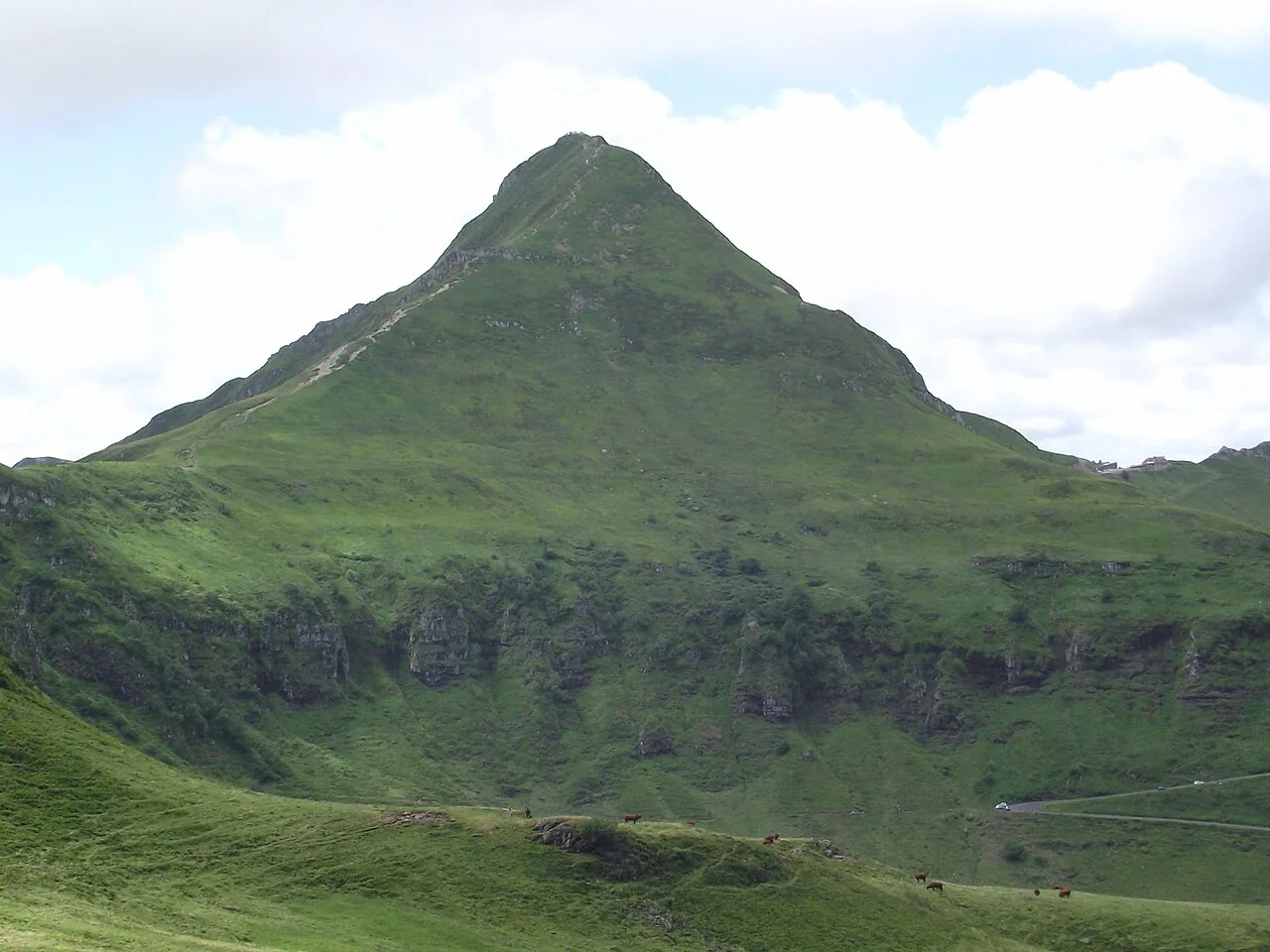
Last updated November 2026: puy mary is an eroded volcanic summit of about 1,780 m in the Cantal massif, reached on foot from the Pas de Peyrol pass. The summit walk covers 1.4 km and takes about 1 h 15 round trip. Cantal is a separate volcano from the Chaîne des Puys, so plan it as its own trip.
Featured image: Jmp48, CC BY-SA 3.0, via Wikimedia Commons.
Puy Mary at a Glance
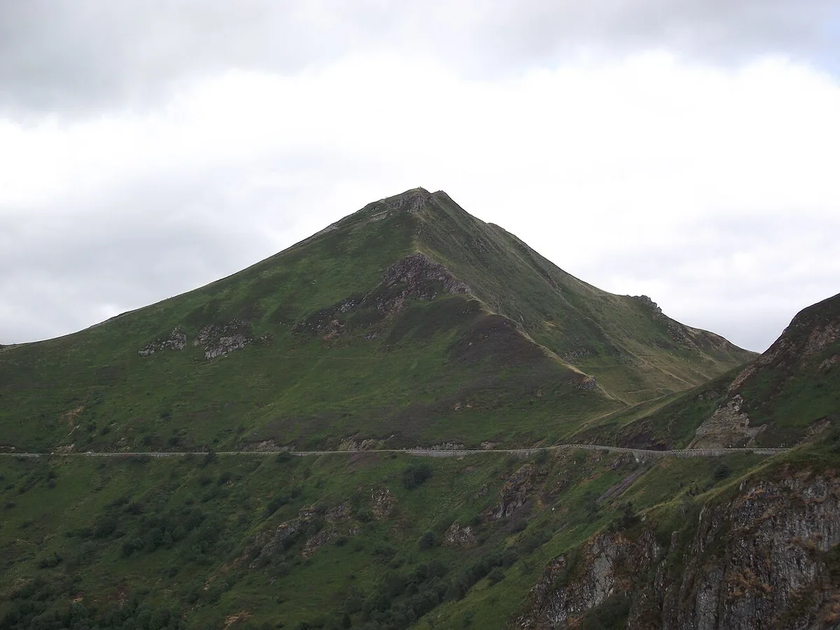
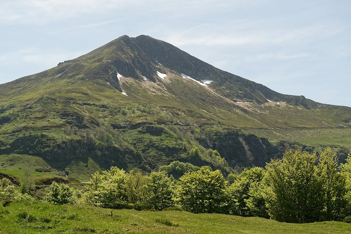
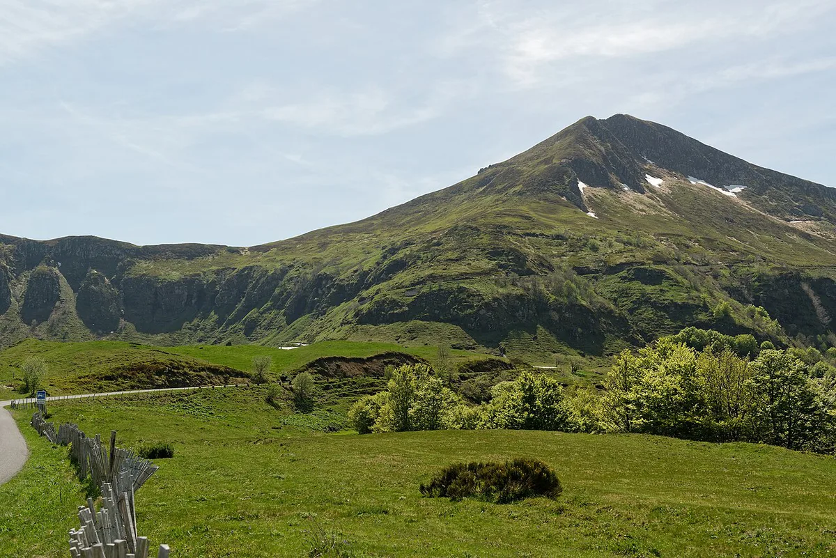
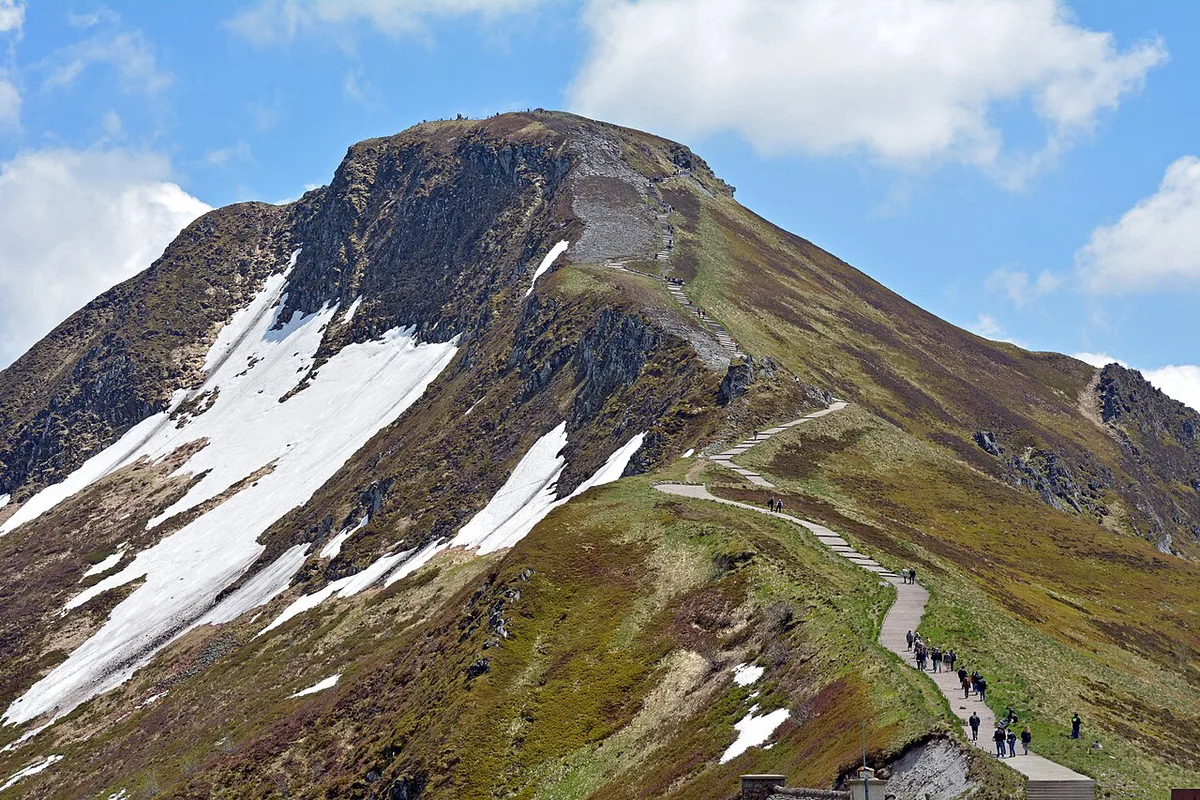
Puy Mary is a pyramid-shaped peak in the Cantal department of Auvergne, in the Massif Central. It is a Grand Site de France, and most visitors start from the Pas de Peyrol pass at 1,589 m. From there, a path climbs 195 m to an orientation table with a 360° view. Elevation figures differ between sources, so this guide rounds the summit to about 1,780 m.
- Best for: short mountain walks with a big view, and full-day hikers who want a harder route nearby
- Main start point: Pas de Peyrol
- Summit walk: 1.4 km, about 1 h 15 round trip, 239 steps
- Summer access: July-August shuttle buses from Salers and Le Falgoux
Why Puy Mary Is Worth the Trip
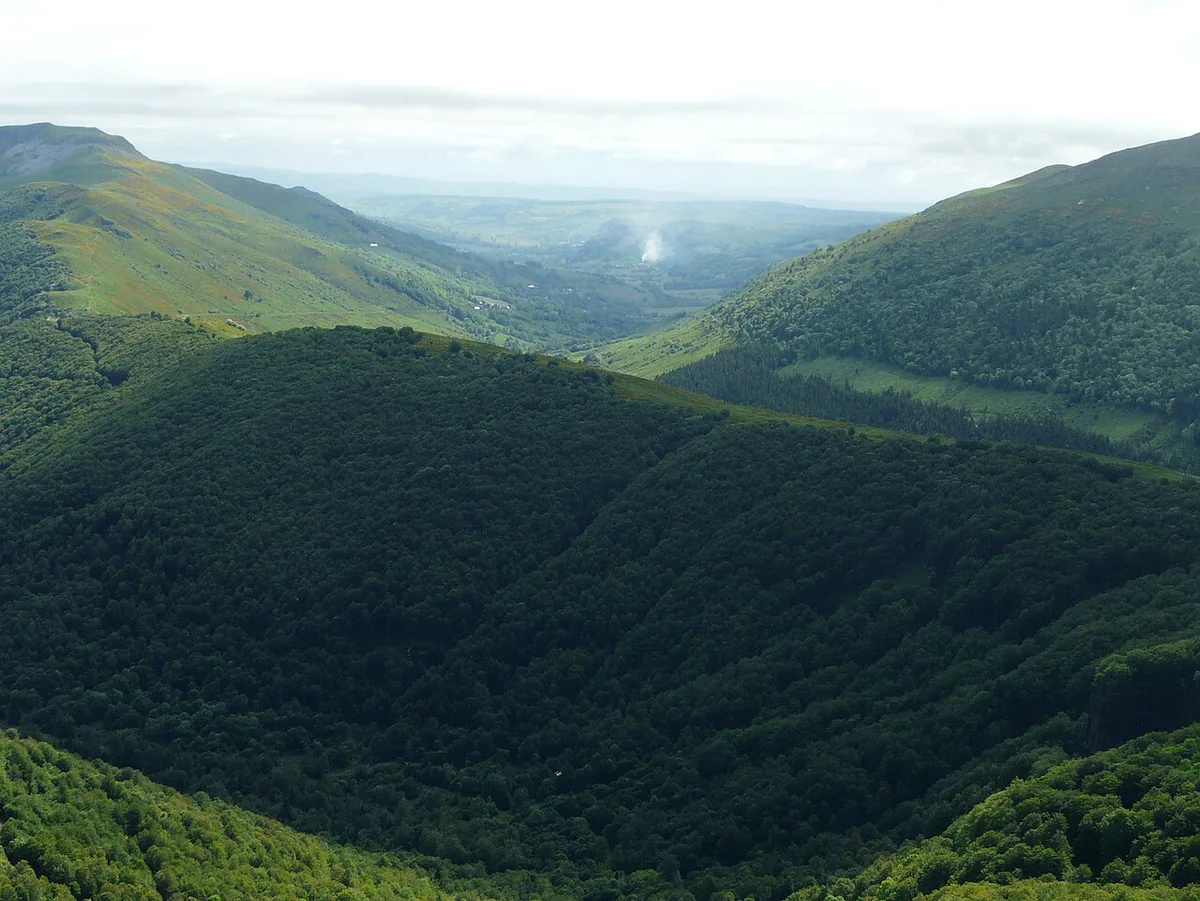
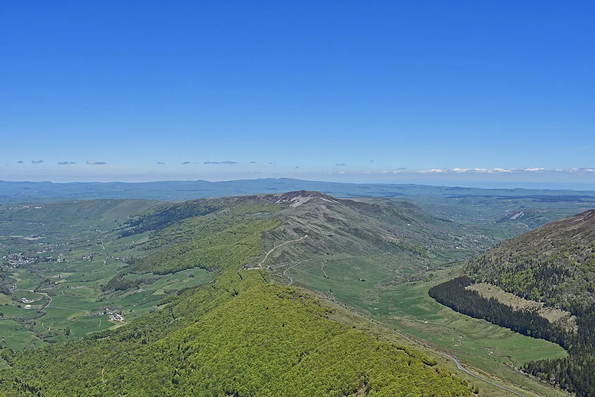
Cantal is described as one large stratovolcano covering more than 2,700 km², and Puy Mary is its most recognisable peak. The volcano is extinct and about 6.5 million years old. Glaciers carved it into its pyramid shape, and seven glacial valleys radiate from the summit. That geometry explains the view: you look down into valleys on every side from the orientation table. Roughly 500,000 people visit each year, so the site is popular but still reachable on a short outing. The Grand Site de France Puy Mary covers access, events and the visitor house.
Puy Mary Hikes Compared
Four routes cover most needs, and they start from different places. Do not stitch them into one itinerary, because drive times between the starts differ.
| Route | Start | Distance | Time | Elevation gain | Difficulty | Best for |
|---|---|---|---|---|---|---|
| Summit walk | Pas de Peyrol | 1.4 km | About 1 h 15 round trip | 195 m | Easy to moderate | Short on time |
| Puy Mary loop | Pas de Peyrol | 3.1 km | About 1 h 40 | 266 m | Moderate | View-seekers wanting more |
| Puy Violent | Above Saint-Paul-de-Salers | 4 km | About 1 h 30 | 241 m | Moderate | Families |
| Puy Chavaroche (short) | Col de Redondet | 3.8 km | About 1 h 30 | 311 m | Difficult to moderate | Confident walkers |
| Puy Chavaroche (long) | Col de Légal | 15 km | About 5 h | 685 m | Difficult to moderate | Full-day hikers |
- Summit walk: Take the prepared path from the Pas de Peyrol to the orientation table. Expect 239 steps near the top.
- Puy Mary loop: This 3.1 km route returns down the other side of the mountain. It is more rugged than the direct path.
- Puy Violent: Reach this 70 m cone from above Saint-Paul-de-Salers. It is easily mistaken for Puy Mary from a distance.
- Puy Chavaroche: Choose the 3.8 km route from Col de Redondet for a shorter day. The 15 km route from Col de Légal suits a full day.
- GR400: This 140 km trail has 5 loops, and 3 of them pass through Puy Mary and the Pays de Salers. It runs from 750 to 1,855 m and takes 2 to 8 days.
How To Get There: Car, Summer Shuttle or Hike In
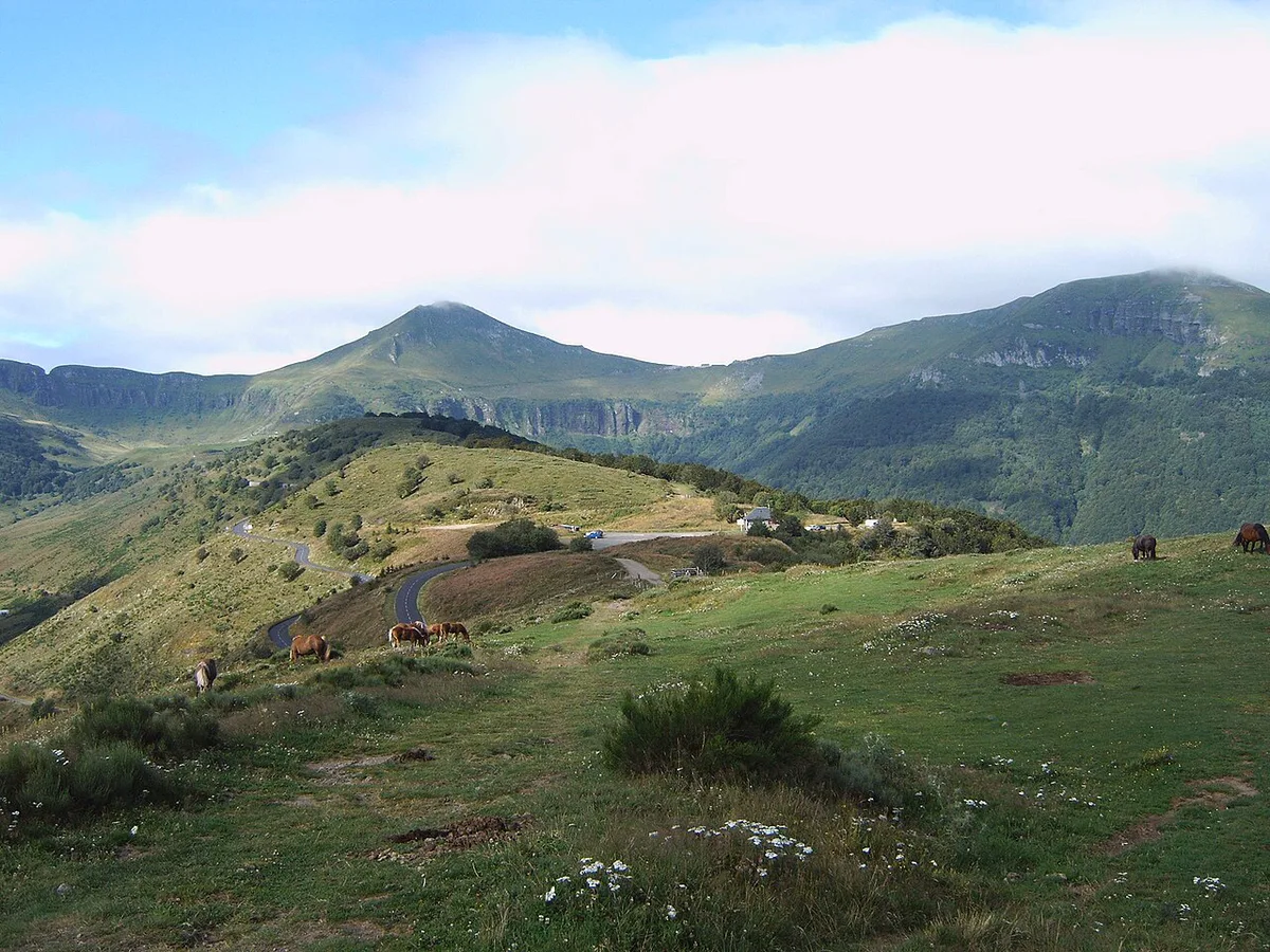
Most visitors drive to the Pas de Peyrol, at 1,589 m, and walk from the parking areas. Park only in designated areas, and arrive early on summer days when space is tight. From July to August, shuttle buses link Puy Mary with Salers and Le Falgoux, so a car is not required. Check the current timetable and fare with the Salers tourist office before you plan around it. Walking in from a valley is the slowest option. It suits hikers who already plan a GR400 loop or the Chavaroche route. A start before mid-morning also gives you a better chance of clear air at the summit.
Drivers reach the Pas de Peyrol at 1,589 m, and the 195 m climb to the orientation table starts there, so the summit walk is short even when you drive.
Weather, Season And What To Check Before You Go
Puy Mary takes the first Atlantic weather, and it ranks among the wettest places in France. Winter snow is abundant. Valley weather says little about the summit, so use the official webcam and forecast page on puymary.fr before you leave. A simple go/no-go rule helps. If cloud sits on the summit, delay the 239 steps, because the 360° view is the reason to climb. Dogs are prohibited in the mountain pastures from 15 May to 15 November, as Parc des Volcans d'Auvergne visitors should note. Outside that period, keep dogs on a leash and on the trail.
- Wear proper hiking shoes
- Carry a map (IGN or GPX)
- Stay on marked trails
- Bring layers and rain protection
- Do not pick flowers, because some are protected
Costs, Opening Hours And Facilities
Hiking the paths is not tied to a ticket in the information available here. Check parking, shuttle and visitor-house charges on the official site before you go. The Maison de Site du Claux sits at Le bourg, 15400 Le Claux. Its "Peintres de la vallée" exhibition runs from 18 October to 31 December 2026, daily from 14:00 to 18:00, and closed on Saturday. Those are exhibition hours, so look up the standing hours for other months.
How To Plan Your Time And Where To Stay
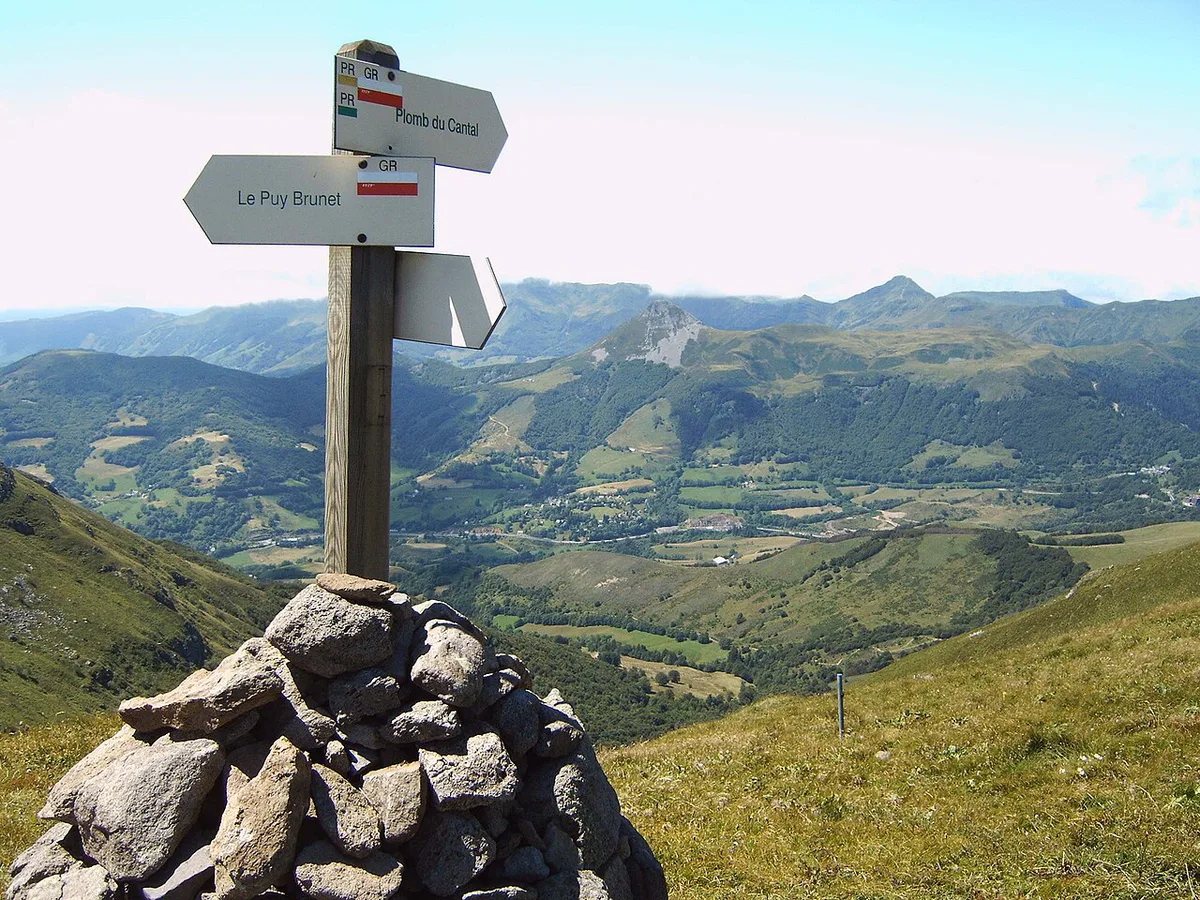
The summit walk alone fits a half-day, and the loop adds 1 h 40 of walking. Puy Chavaroche from Col de Légal takes about 5 h, so give it a full day. Salers and Le Falgoux are the base villages tied to the shuttle in July and August. Saint-Paul-de-Salers is the start for Puy Violent. Pair Puy Mary with Plomb du Cantal: Hiking Routes, Difficulty & Access if you want a second Cantal summit. Plan the drive between each start separately rather than assuming short transfers.
Mistakes To Avoid
Most problems come from underestimating a short route.
- Wearing trainers on the 239 summit steps
- Trusting valley weather for a summit at about 1,780 m
- Bringing a dog between 15 May and 15 November
- Picking protected flowers
- Treating the four routes as one connected itinerary
- Arriving late on a July or August day
Other Auvergne Volcanoes To Pair With Puy Mary
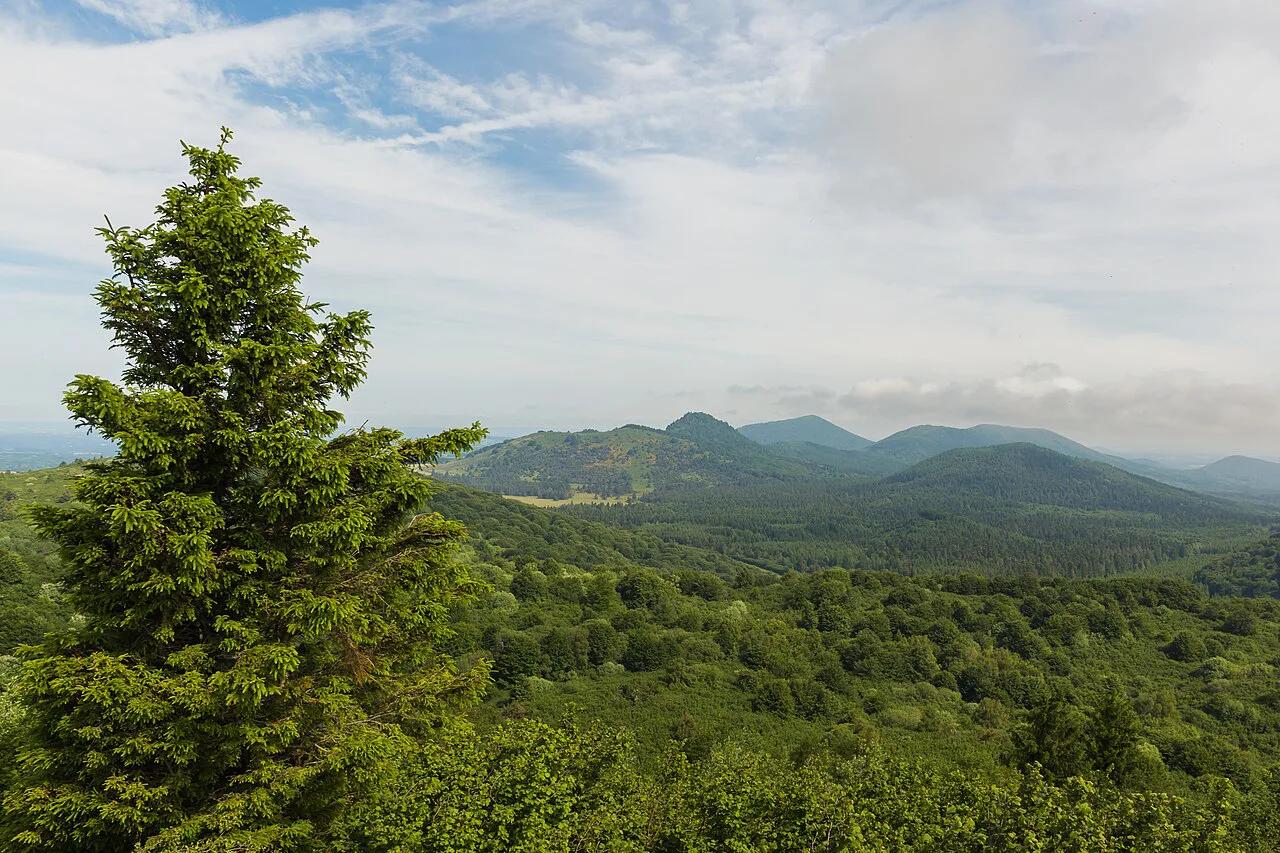
Puy Mary belongs to Cantal, not the Chaîne des Puys. For the wider picture, start with volcanoes across France. The Chaîne des Puys offers a separate trip of small cones. Puy de Dôme is an easier-access contrast for a short summit visit. Add Lac Pavin Guide: Volcanic Lake Hike, Access & Tips for a crater lake. Another high summit option is Puy de Sancy Guide: Routes, Season & Cable Car. Allow separate travel time for each, because these places are not next door to Puy Mary.
Is the Summit Walk Right for You?
The direct Puy Mary walk is short, but it is not a level viewpoint stroll. From the Pas de Peyrol at 1,589 m, the route climbs 195 m over 1.4 km.
Allow about 1 h 15 for the return walk. The final approach includes 239 steps, which can feel demanding in wind, rain, or low cloud.
Choose the summit if you are comfortable with sustained uphill walking and uneven mountain conditions. Wear hiking shoes rather than trainers, and bring a layer even if the valley feels mild.
If the climb does not suit your energy, mobility, or weather conditions that day, enjoy the mountain setting from the pass instead. Save the summit for clearer conditions, when the 360° orientation-table view is more likely to reward the effort.
Frequently Asked Questions
What is the name of the volcanic region in France?
The best-known volcanic area is the Chaîne des Puys in Auvergne. Puy Mary sits in the separate Cantal volcano, which lies within the Parc naturel régional des Volcans d'Auvergne.
Where in France is Auvergne?
Auvergne lies in the Massif Central. Puy Mary is in the Cantal department of Auvergne.