Puy de la Vache and Lassolas: Hike and Access Update
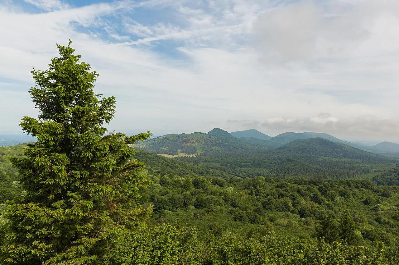
Last updated November 2026: Puy de la Vache is a breached scoria cone in the Chaîne des Puys volcanic chain, twinned with Puy de Lassolas. Most visitors walk one short loop over both cones. Parking and summit access are affected by works, so read the access box before you set off.
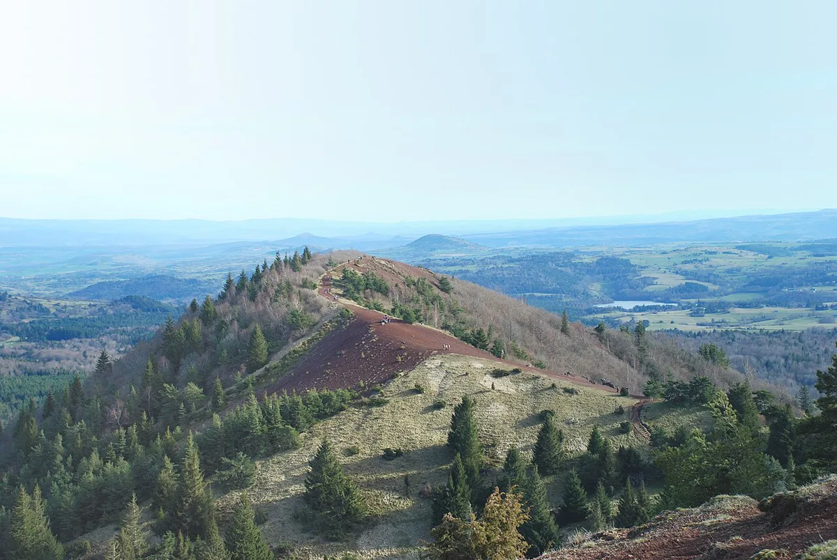
Featured image: geolman https://www.geodiversite.net/auteur5, CC BY-SA 3.0, via Wikimedia Commons.
Puy de la Vache at a glance
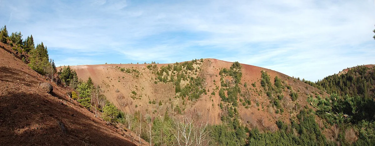
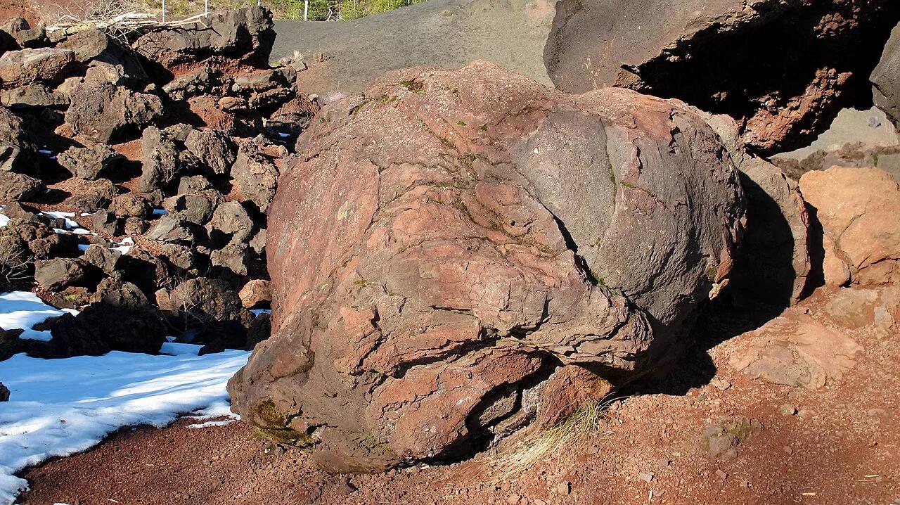
Both cones are "égueulé" (breached), meaning the crater wall broke open during the eruption and let lava escape. That lava ran downhill and formed the Cheires d'Aydat, a rough lava field that dammed Lac d'Aydat and Lac de la Cassière. Slopes of red and black scoria (pouzzolane) give the pair their colour. Local sources date the eruption to roughly 8,000 years ago, though one hiking write-up says about 8,500. The cones sit in the commune of Saint-Genès-Champanelle, in the Puy-de-Dôme département.
- Loop: about 4.32 km with roughly 190 m of ascent on one mapped route.
- Entry: no fee is listed, and the cones lie inside the Parc naturel régional des Volcans d'Auvergne.
- Dogs: described as allowed on a leash inside the park.
Current access and parking: what to check before you go
Access checked 22 November 2026. A route platform said in February 2026 that the Montlosier car park would be closed from August 2025 to 2027. It also said summit access to both puys may be closed from spring 2026 to early 2028. Hiker comments from March 2026 describe phased works over about two years, with the GR4, GR30 and GR441 long-distance paths said to remain open. Those comments are not official statements. The Parc des Volcans d'Auvergne runs the Montlosier redevelopment, so check its page for the current status of the car parks and the summits.
- Montlosier car park and Maison des Volcans: said to be closed for works, status unconfirmed.
- D5 car park: older guides use it as the start, but it is said to be shut during the works.
- Lac de la Cassière car park, on the GR4 near the D2089 and D90 junction: suggested by hikers as an alternative start. It means a longer walk, and the quarry may remain reachable along the GR4.
- Plan B: if the summits are closed, skip to Puy de Pariou's open crater or the Puy de Dôme summit.
The loop: Vache and Lassolas, and which direction to walk
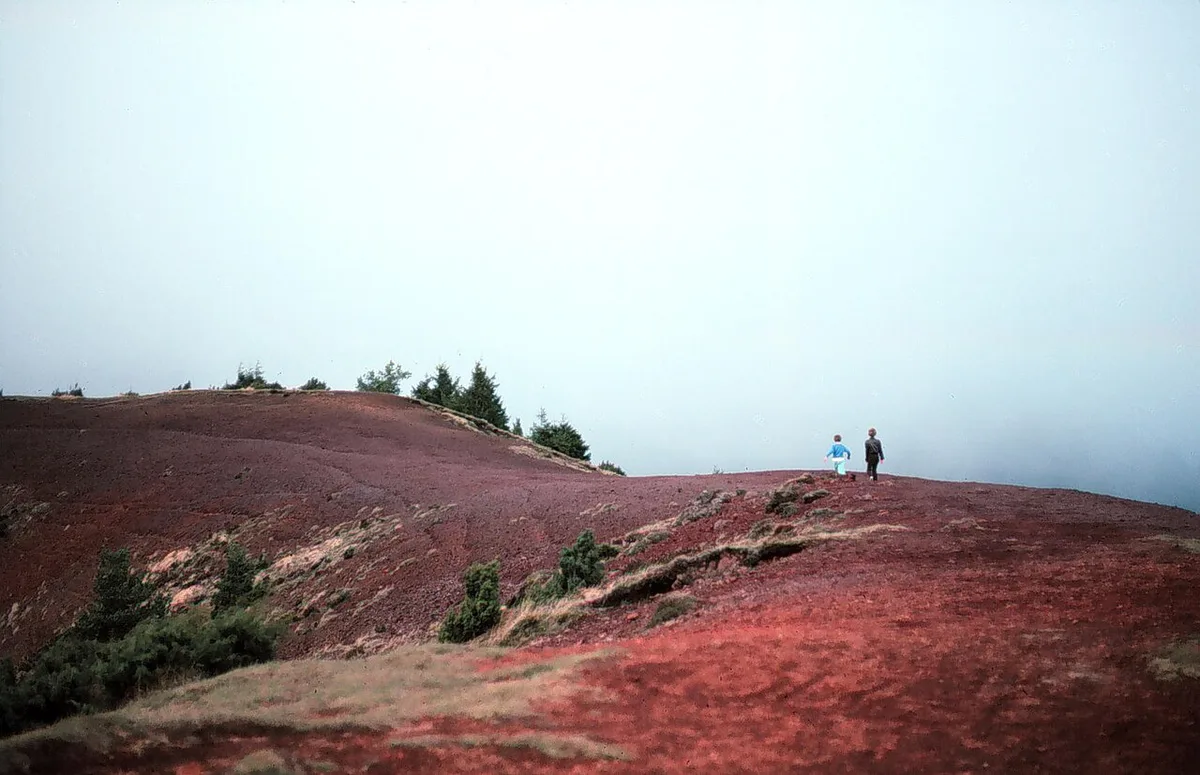
The circuit can be walked either way. Puy de la Vache has wooden anti-erosion steps on most of its slope, while Puy de Lassolas has little equipment and rolling pouzzolane underfoot. Most hikers prefer going up Vache and down Lassolas. Even so, the final descent is slippery, so poles and firm soles help.
| Direction | Ascent | Descent | Suits |
|---|---|---|---|
| Up Vache, down Lassolas | Wooden steps, steady | Loose and slippery scoria | Most walkers |
| Up Lassolas, down Vache | Steep, rolling scoria | Long run of steps that tires the legs | Strong walkers who like a hard climb |
The quarry and the red scoria landscape
A disused pozzolana quarry lies along the route, with red and black scoria and large volcanic bombs. Hikers describe it as lunar, and some call it Martian, though at least one local visitor disputes that comparison. The old path from the col between the two puys down to the quarry is heavily eroded and discouraged. Stay on marked paths, because erosion on the ridges is the reason the wooden steps exist.
Views from the top
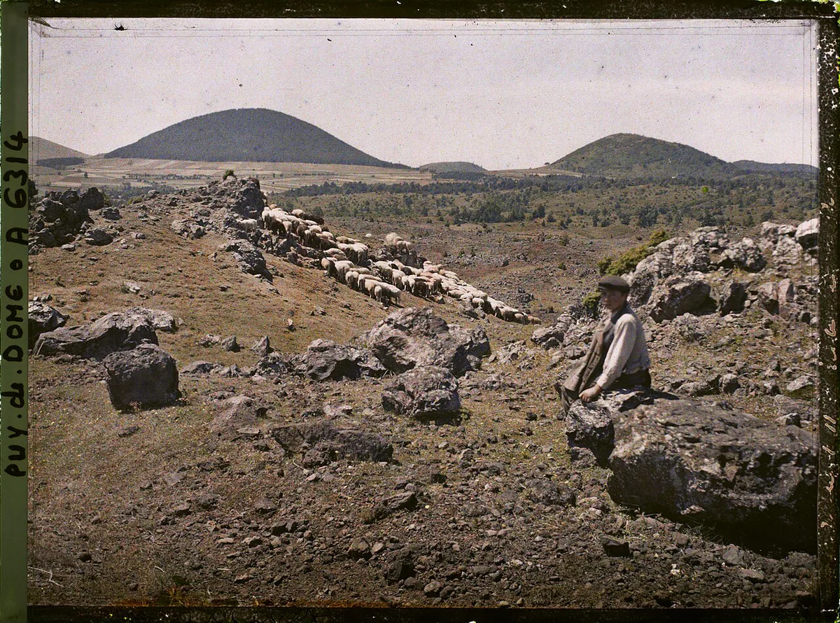
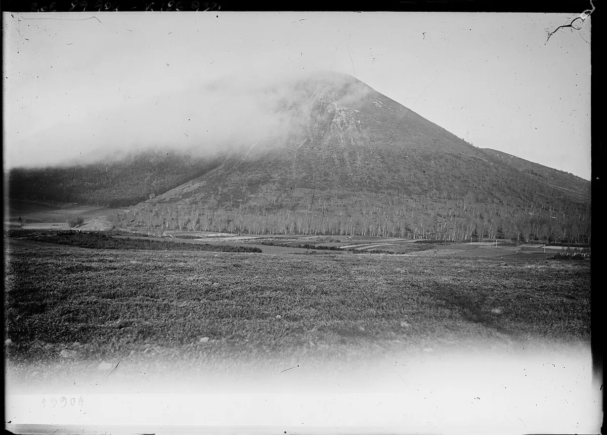
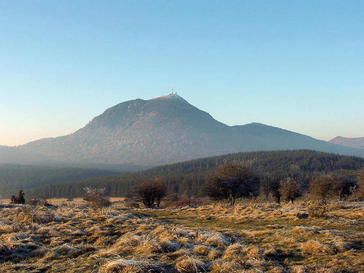
From the rims you see the Puy de Dôme, the most massive cone in the chain. Hikers also name Puy de Mercoeur, Pourcharet, Montjuger, Montchal, Fallateuf and La Mey among the neighbouring cones. Routes describe the Monts Dore to the south and the distant Monts du Cantal. For the full range, read our Clermont-Ferrand volcano base guide.
Altitude, distance and time
Published figures differ, so treat these as approximate. One hiking guide gives 1,167 m for Vache, 1,187 m for Lassolas and 218 m of climbing. A mapped route shows a low point of 980 m, a high point of 1,150 m, 190 m of ascent and 4.32 km. Its 37-minute estimate is a jogging time, not a walking time. Allow extra time for the steep, loose sections and for photos.
Treat the 37-minute estimate as a jogging pace; the loop's 190 m of climbing on loose scoria takes longer on foot.
Best season and what to bring
Spring and autumn are milder. Summer is warm, so start early. Winter brings snow and ice on the steep, exposed sections. Wear shoes with a grippy sole, because smooth soles slide on scoria. Bring poles for the descent and a windproof layer for the open ridge. The loop is not suited to beginner running.
Is it worth it? Who it suits and mistakes to avoid
The loop suits short-outing hikers, photographers and anyone curious about breached cones. Families with older children can manage it if they are comfortable on steep, loose ground. Skip it if you need guaranteed summit access or a mobility-friendly walk. Common mistakes are listed below.
Summit closures may run from spring 2026 to early 2028, so the warning about guaranteed summit access is not hypothetical.
- Arriving without checking closures.
- Relying on parking details in older guides.
- Leaving the marked path.
- Wearing smooth soles.
- Treating the loop as flat.
Nearby volcanoes if access is closed
Several alternatives are open to visitors. Puy de Sancy Guide: Routes, Season & Cable Car is the highest summit in the region. Lac Pavin Guide: Volcanic Lake Hike, Access & Tips fills a crater lake. Volcan de Lemptégy: Visit Guide, Tickets & Tips is a visitor site near Clermont-Ferrand. Volvic's volcano is another short drive. For the wider picture, see volcanoes across France. Lodging and food are covered in the Clermont-Ferrand and Volvic pages.
Why the Chaîne des Puys setting matters
Puy de la Vache and Puy de Lassolas are part of the Chaîne des Puys, a UNESCO-recognised volcanic landscape in Auvergne. Their breached craters make the geological story unusually easy to see. Lava escaped through the broken crater walls and flowed into the Cheires d'Aydat below.
The usual circuit is only about 4.32 km, but it includes roughly 190 m of ascent on loose volcanic scoria. That compact scale makes it a useful stop for visitors exploring the wider chain. It is not a gentle roadside viewpoint, however. The cones formed roughly 8,000 years ago, and their fragile slopes are vulnerable to erosion. Stay on marked paths and use the established steps where provided.
For trip-planning details, see Observatoire de Physique du Globe de Clermont-Ferrand.
Frequently Asked Questions
What is the name of the volcanic region in France?
The best-known volcanic region is Auvergne, home to the Chaîne des Puys. Puy de la Vache and Puy de Lassolas belong to that chain, inside the Parc naturel régional des Volcans d'Auvergne.