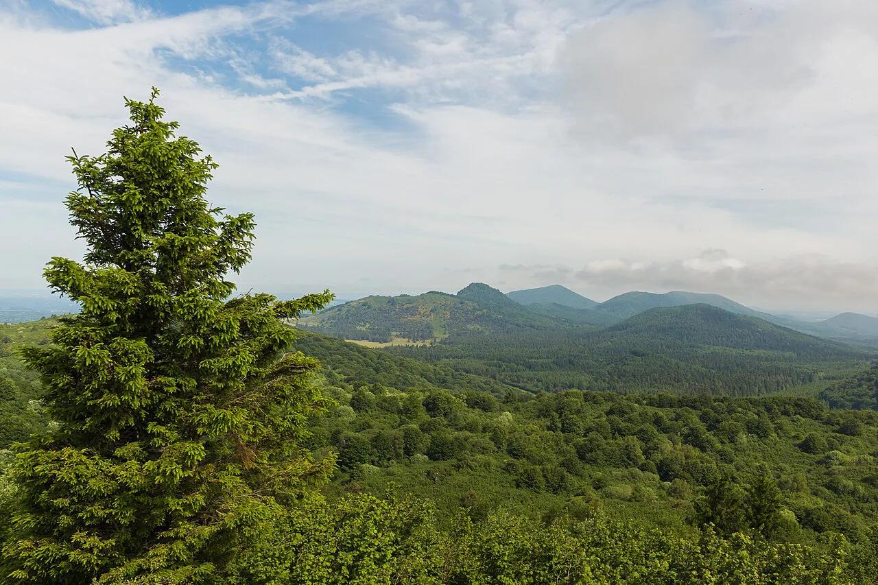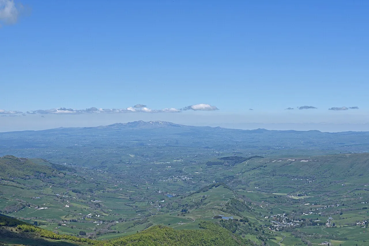
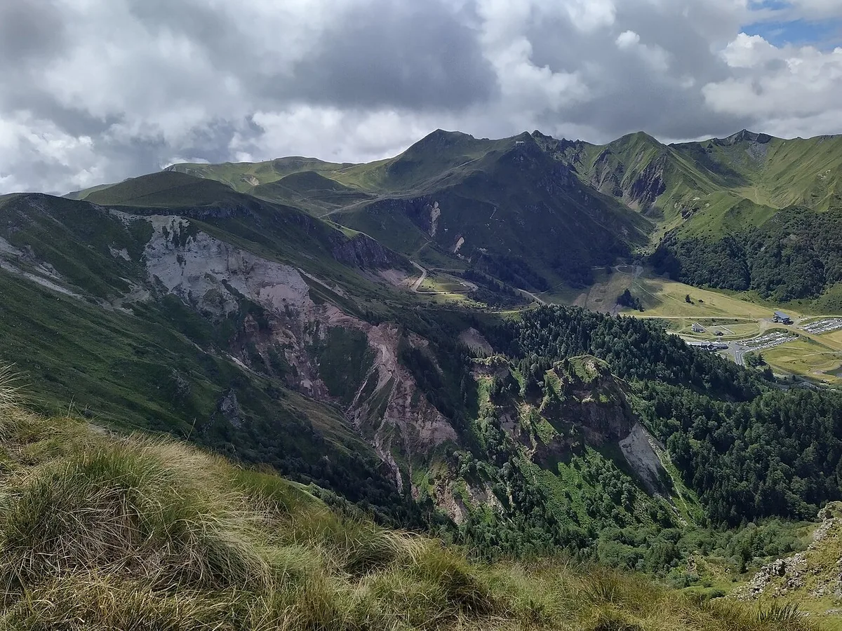
Last updated November 2026: Puy de Sancy is the highest volcano in mainland France, rising to about 1,885 m in the Monts Dore of Auvergne. Reach the summit by cable car from Mont-Dore plus 864 wooden steps, or walk the whole way in about 3h30. Winter closes the walking routes, so season decides your plan, and our guide to France's volcanoes shows where Sancy fits.
Featured image: Ymblanter, CC BY-SA 4.0, via Wikimedia Commons.
Puy de Sancy at a glance
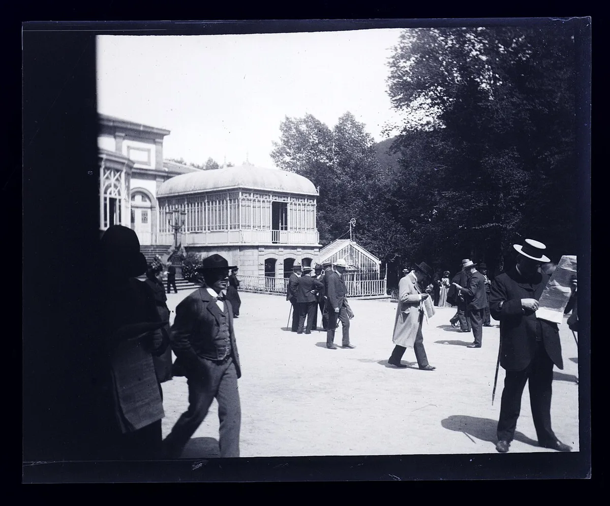
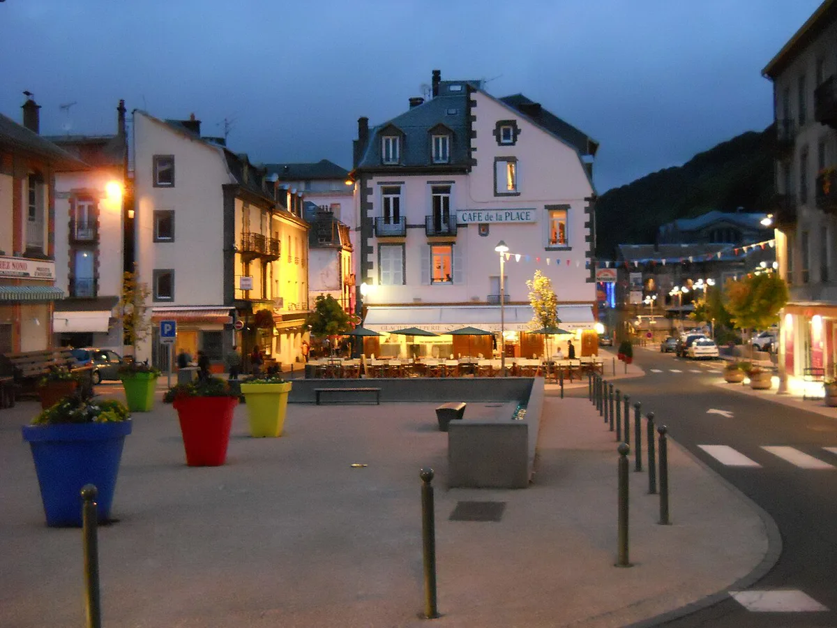
Standing at about 1,885 m (6,184 ft), Puy de Sancy is the highest point of the Massif Central. Local tourism sources describe it as a stratovolcano, built from several overlapping volcanoes rather than one crater. Its massif began forming about 5 million years ago and ended around 250,000 years ago, according to the Sancy tourist office. Reference works list the volcano as inactive for roughly 220,000 years. Nearest village is Mont-Dore, and the cable car station sits 3 km from it.
- Elevation: about 1,885 m (some tourism boards quote 1,886 m)
- Range: Monts Dore, Massif Central, Puy-de-Dôme department
- Nearest village: Mont-Dore, with the cable car station 3 km away
- Main routes: cable car plus 864 steps, a 3h30 walk, or a combined ride and walk of about 1h30
- Season: walking access May to October, cable car round trips only from December to April
- At the top: a viewing table and a 360° panorama
How to reach the Puy de Sancy summit: routes compared
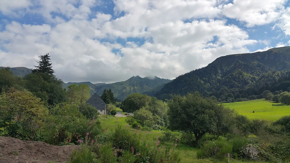
Several ways up exist, and the table sorts them by effort. Easiest is the cable car from the Mont-Dore station, followed by 864 wooden steps that take about 20 minutes. Walking the whole way from the same car park takes about 3h30 on an 8 km loop with 546 m of climbing. Combining a cable car ride with a walk up or down takes about 1h30. From Super-Besse, add the cable car and about 40 minutes on foot. Chastreix-Sancy and the Chaudefour valley are on-foot routes of about 6 hours each. Strongest walkers can link the ridge: 17 km with 1,050 m of climbing, about 6 hours, rated difficult. Mountain bikers may use only the GR4E, ideally early because walkers fill it.
| Route | Start | Effort | Rough time | Best for |
|---|---|---|---|---|
| Cable car plus stairs | Mont-Dore station | Low, but 864 steps | About 20 min on the stairs | Short visits, mixed groups |
| Walk from Mont-Dore | Station car park | Steep: 8 km loop, 546 m up | About 3h30 | Fit walkers |
| Cable car plus walk | Mont-Dore station | Moderate | About 1h30 | Riding one way, walking the other |
| Super-Besse | Super-Besse cable car | Moderate by cable car, hard on foot | 40 min after the cable car; about 5h30 on foot | Staying on the Super-Besse side |
| Chastreix-Sancy | Chastreix-Sancy | Hard, on foot only | About 6h | Long-day hikers |
| Chaudefour valley | Chambon side | Hard, on foot only | About 6h | Long-day hikers |
| Ridge loop | Mont-Dore village via the Grande Cascade | Difficult: 17 km, 1,050 m up | About 6h (GR4 up, GR30 back) | Strong walkers wanting a full day |
| Mountain bike | GR4E only | Hard | Start early | Experienced riders |
- Good weather and low effort: take the cable car.
- Fit and with about four hours: walk from Mont-Dore.
- Bad weather: skip the summit and choose a lower-altitude walk.
When you can actually walk up
Season decides everything here. From December to April, ski-area safety rules close the summit stairs and walking paths to pedestrians. Only a round-trip cable car ride is allowed in those months, and it gives views of snowy summits. Between May and October, several routes open. Official listing shows 1 May to 30 November 2026, weather permitting, on foot or by cable car. Foot access in spring depends on snow cover, so ask the tourist office on 04 73 65 20 21 for the start date. Dates for later seasons need checking against the next listing.
| Period | Cable car | Walking to the summit |
|---|---|---|
| May to October | Runs, weather permitting | Open, with a start date that depends on snow |
| November | Listing runs to 30 November 2026 | Depends on snow |
| December to April | Round trip only | Closed to pedestrians |
Getting there, parking and costs
Cable car station and car park lie 3 km from Mont-Dore village. Parking is paid from 1 May to 31 October, daily from 8:00 to 18:30. Rates are €4 for 5 hours and €7 for 10 hours, with prices and hours checked November 2026. Coach parking is free. Climbing on foot costs nothing, because access on foot is free. Riding up is paid, but the tourist office listing publishes no fare, so ask the operator or the office. Public transport to the station is not documented there either, so plan on driving unless the office confirms a service. Check the last ascent time at the station, since a missed final ride turns a short trip into a long walk down.
Spring foot access depends on snow cover, so call 04 73 65 20 21 before you leave the car park.
Safety and what to bring
Do not go to the summit in a storm, fog or snow. Storms arrive quickly in the mountains, and sun can be strong at 1,885 m. Turn back if cloud closes in, thunder starts, or snow covers the path. Wear walking shoes, because the paths are stony. Pack rain layers, warm clothing, water and sun protection. Walkers should also check trail state and the forecast before leaving, since access varies by season. Ridge loop's 1,050 m climb makes it a full day of about 6 hours.
- Arriving after the cable car's last ascent
- Going up in a storm or fog
- Expecting to walk up in winter
- Taking a dog into the Val de Courre reserve
- Underestimating 864 steps
With dogs, kids and mixed groups
Dogs are accepted, with seasonal limits. December to April allows only a round-trip cable car ride with your dog. May to October allows the cable car or a walk, strictly round trip on the GR4E. Keep dogs on a lead, and note that the start is shared with the Dordogne source path, marked by a yellow sign. Val de Courre, a national nature reserve, bans dogs even on a lead, because wildlife perceives them as predators. Families can ride the cable car, but the final 864 steps remain. Those steps are a real barrier for anyone with limited mobility, so mixed groups should decide at the station whether everyone climbs or some wait.
Mixed groups on the cable car plus stairs route spend 20 min on the stairs, so the 864 steps set the pace, not the ride.
Beyond the summit
Pair the summit with one lower-altitude extra if weather or legs say no. Lac Pavin lies in a different part of the volcanic region, so treat Lac Pavin and its crater lake as a separate day.
- Chaudefour valley: worth it if you want a nature reserve walk or the 6-hour route to the top.
- Lake Chambon and Lake Guéry: worth it if you prefer water to summits, with Guéry the highest lake in Auvergne.
- Dordogne source: worth it for a short walk, because the Dore and Dogne meet at the foot of Sancy to form the Dordogne.
- Mont-Dore and Super-Besse ski areas: worth it in winter, when the cable car is the only way up.
- Boucle Sancy: worth it if you want a multi-day loop past high lakes and glacial valleys.
Sancy vs other Auvergne volcanoes
Sancy is a glacier-shaped stratovolcano in the Monts Dore. Chaîne des Puys is a separate chain of cones, covered in our Chaîne des Puys overview. Puy de Dôme belongs to that chain, and the Puy de Dôme guide covers its own access. From the Sancy summit on a clear day, the panorama reaches the Cantal massif, the Chaîne des Puys, the Mézenc and the Forez. For the Cantal side, see Puy Mary Guide: Summit Hike, Routes & Planning. Another option there is Plomb du Cantal: Hiking Routes, Difficulty & Access. Staying in Clermont-Ferrand instead? Browse volcanoes near Clermont-Ferrand. For regional context, the Parc des Volcans d'Auvergne site covers the wider volcanic area. With one day and good weather, take the Sancy cable car. In poor weather, pick a lower-altitude volcano stop.
Frequently Asked Questions
What is the name of the volcanic region in France?
Auvergne holds France's main volcanic landscapes, including the Monts Dore around Puy de Sancy and the Chaîne des Puys. Our volcanoes in France overview compares them.
Where in France is Auvergne?
Auvergne lies in central France, in the Massif Central. Puy de Sancy stands in the Puy-de-Dôme department.