Stromboli Volcano Map: Craters, Trails & Access Zones
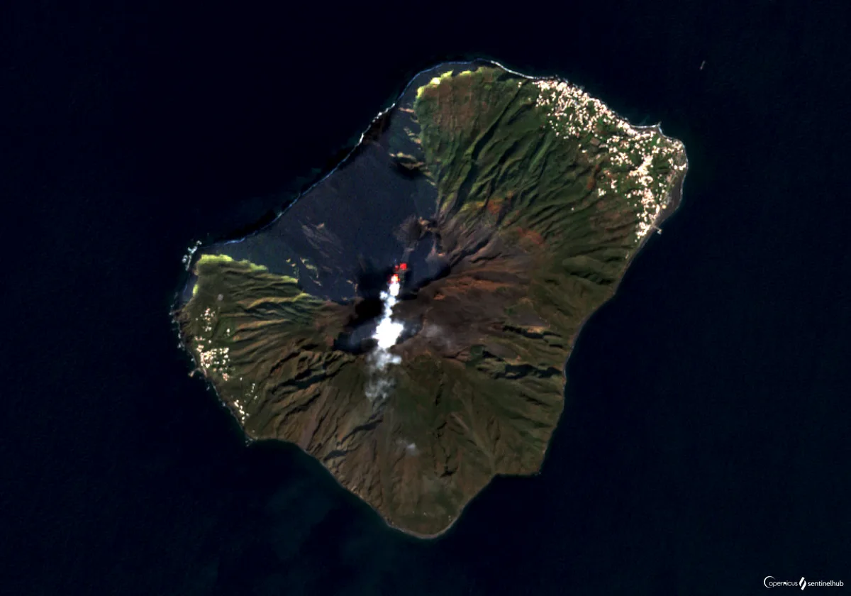
Last updated November 2026. A Stromboli volcano map shows one cone-shaped island in the Aeolian arc north of Sicily, with the summit craters high above and the villages low on the coast. Read it for three things: the Sciara del Fuoco slope, the settlements of Stromboli and Ginostra, and the zones where visitors may walk. Our Stromboli volcano guide covers the wider trip.
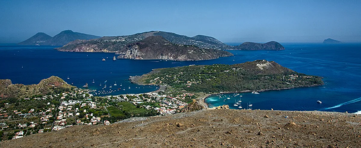
Featured image: Norbert Nagel, CC BY-SA 3.0, via Wikimedia Commons.
Stromboli volcano map at a glance
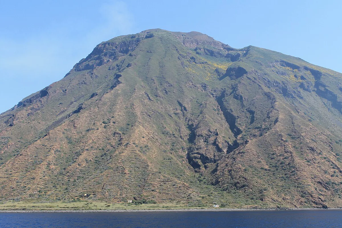
Stromboli is a single volcanic island in the Aeolian Islands, which sit north of Sicily. Almost the whole island is the volcano, so a map reads like a cross-section of one mountain. The summit craters sit at the top. The Sciara del Fuoco, a steep scar, drops from the crater area down the northwest flank to the sea.
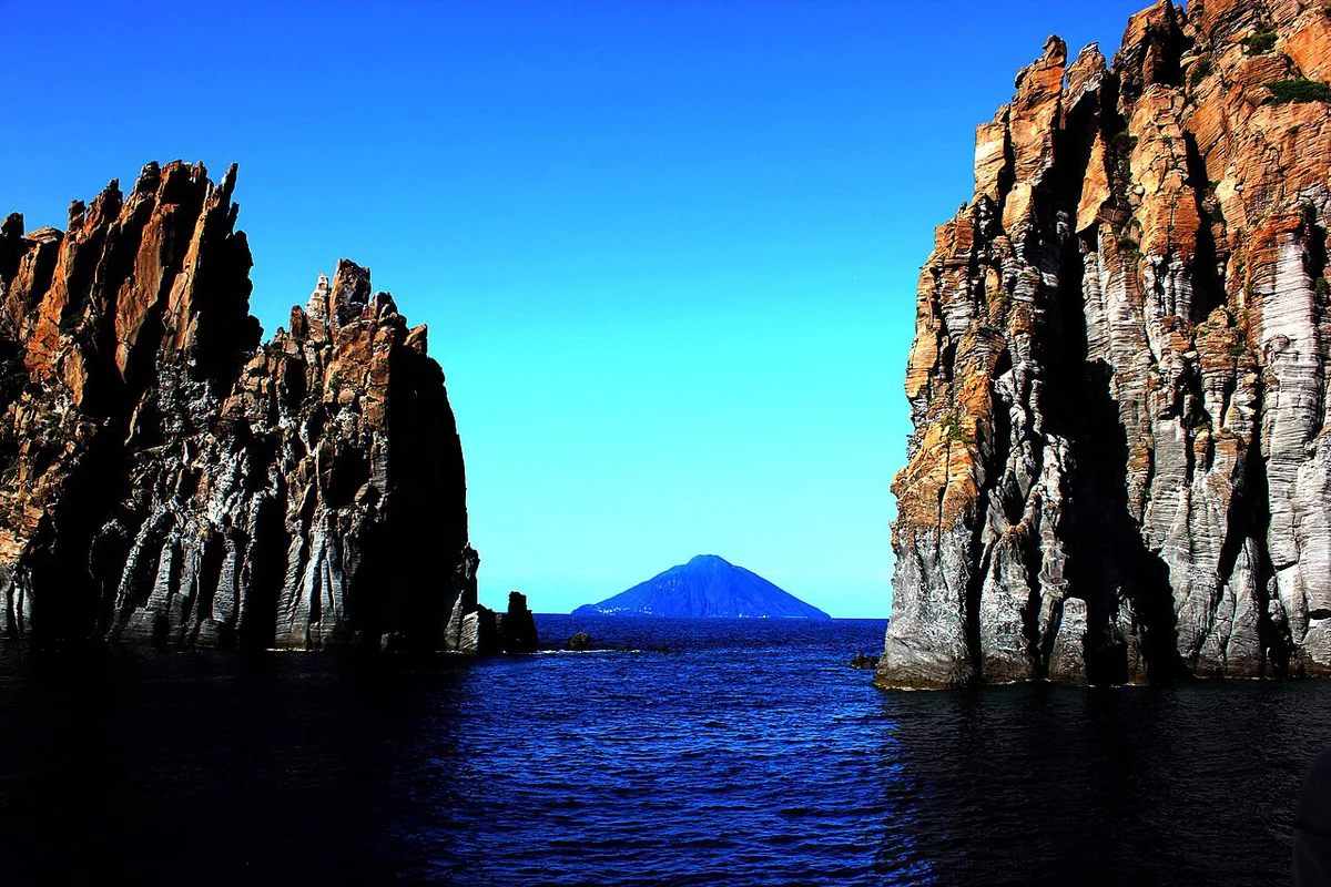
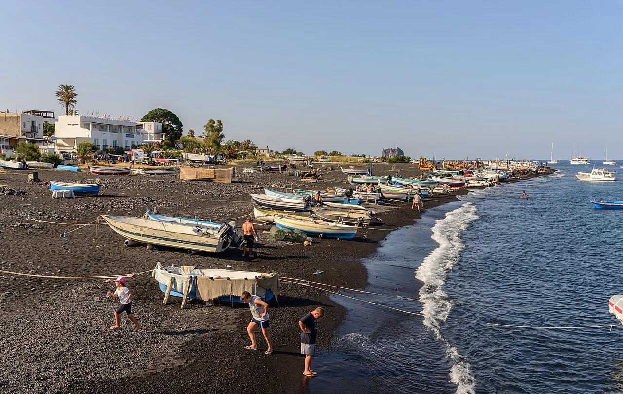
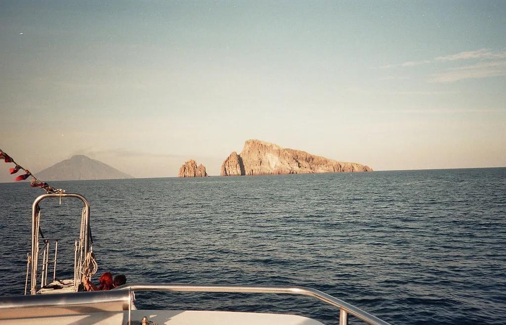
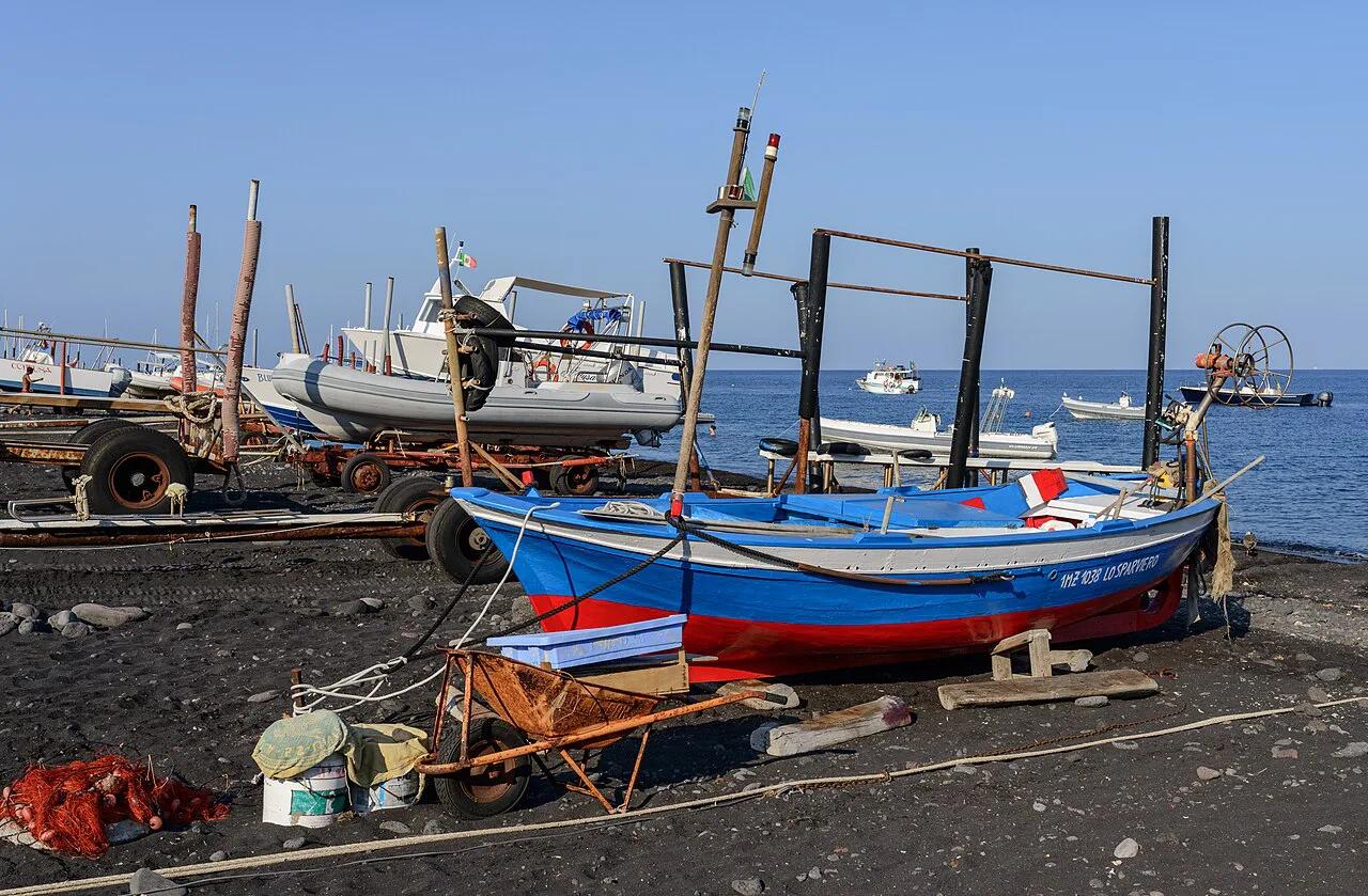
The inhabited coast holds the village of Stromboli, which includes the districts of San Vincenzo and Ficogrande, plus nearby Piscità. Ginostra is a separate settlement with its own access. Offshore stands the rocky islet of Strombolicchio, covered in our Strombolicchio guide.
How to read the map: the main zones
Treat the map as five layers: summit, slope, villages, coast and trails. The table below says what each layer is and whether you can go there. Access to the upper volcano changes with activity, so use it for orientation only.
| Zone | What it is | Can visitors go there? | Read more |
|---|---|---|---|
| Summit crater terrace | Active vents at the top of the cone | Restricted; follow the current official rules | Stromboli hike guide |
| Sciara del Fuoco | Steep slope on the northwest flank | Seen from the sea or from marked viewpoints | Sciara del Fuoco, Stromboli: What It Is and How to See It |
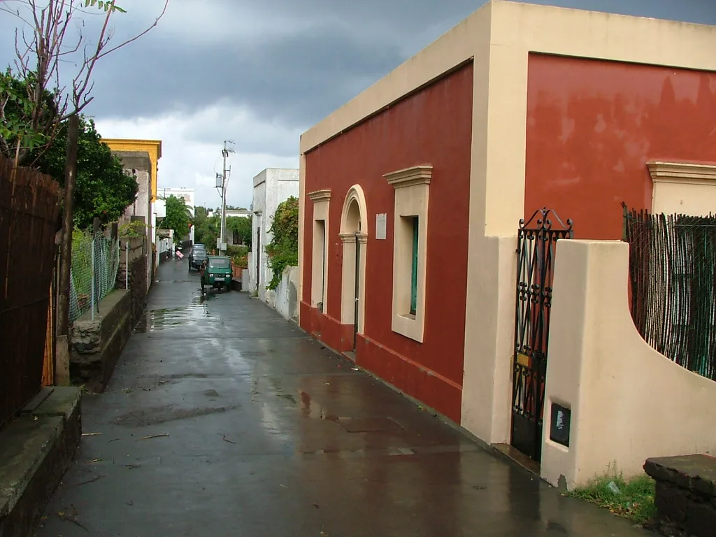
| Stromboli village | San Vincenzo and Ficogrande on the coast, plus Piscità nearby | Yes; this is the main base | Island overview |
| Ginostra | Small separate settlement | Yes, with its own access route | Ginostra |
| Strombolicchio | Rocky islet offshore | Viewed from a boat | Strombolicchio |
Where visitors can actually go
Access on Stromboli follows the volcano's behavior, not the printed map. Trail limits, guide requirements and time windows depend on current rules. The Municipality of Lipari is the authority to check for them.
As a rule, you can always walk in the villages and along the coast. The upper slopes and crater terrace are the parts that change. Our guide to the volcano hike explains the usual routes. For a supervised option, see the Stromboli Volcano Tour: Which One to Book page.
Prices and hours checked November 2026. Do not rely on any altitude limit you read on an unofficial map or app. Look for a dated notice from an official body.
Geological map explained in plain language
A geological map colors the island by rock age and origin. One simplified version, after Hornig-Kjarsgaard and colleagues in 1993, splits Stromboli into nine units. Its geological map of Stromboli lists them.
The legend names these units:
- Epiclastic and reworked material - San Bartolo lavas - Sciara products - Neostromboli - Vancori cycle - Scari - Paleostromboli I, II and III
The Paleostromboli units are the older building blocks of the island. The Sciara products belong to the active slope on the northwest flank. Those named units show that the cone grew in stages, which explains its lopsided outline. Our page on what type of volcano Stromboli is goes deeper.
Live and monitoring maps: what to check before you go
A static map cannot show today's conditions. Three kinds of live tools fill that gap. A webcam shows the summit right now. A seismic map plots recent earthquakes near the island. An official bulletin states the alert status.
For the official picture, use the monitoring pages of INGV's Stromboli page. Third-party maps color volcanoes by status, but those colors are a site's own interpretation and carry no official meaning. One popular map files Stromboli under "Eruption" because its activity is near-permanent.
For a visual check, open the Stromboli Volcano Webcam: Live Cameras and What They Show. For background on the explosions you may see, read about the Stromboli eruption pattern.
- What the map won't show you: live conditions at the summit.
- What the map won't show you: trail closures announced after printing.
- What the map won't show you: whether the crater terrace is open today.
Which map should you use?
Each map type answers a different question. Pick by purpose, not by how detailed it looks.
| Map type | Best use | Limitation | Skip it when |
|---|---|---|---|
| Printed or offline trail map | Finding paths and villages without signal | Cannot show closures | You need current access rules |
| Geological map | Understanding rock units and island shape | No visitor information | You only want to plan a walk |
| Live monitoring map | Checking activity and alerts | Unofficial colors on third-party sites | You need legal access guidance |
| Webcam view | Seeing the summit now | Shows one angle only | Cloud covers the cone |
Getting there and getting around
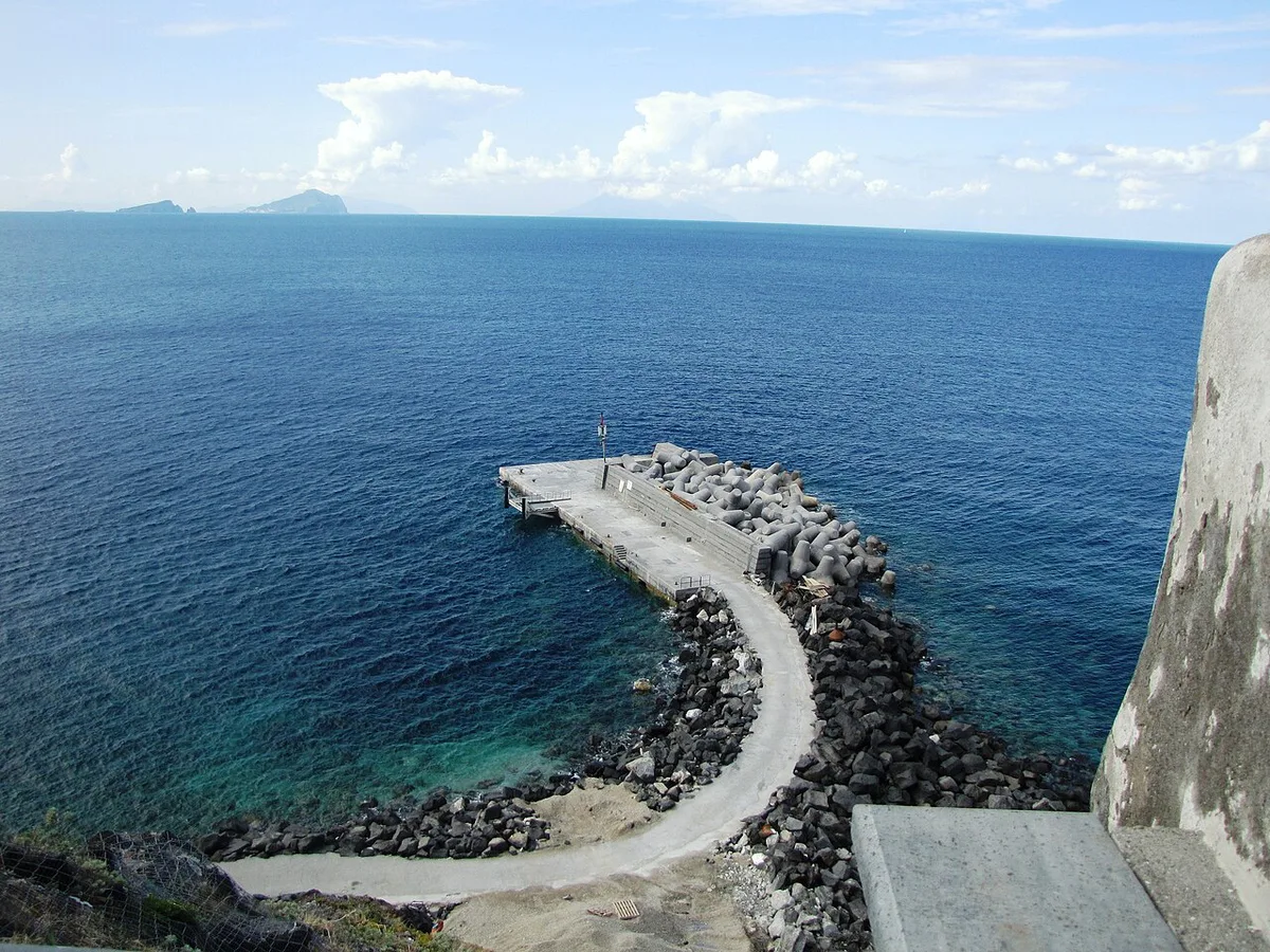
Stromboli is reached by sea from Sicily and from the other Aeolian islands. Hydrofoil and ferry operators serve the island, and Liberty Lines publishes timetables. Seasons and frequencies change, so read the current schedule before you book.
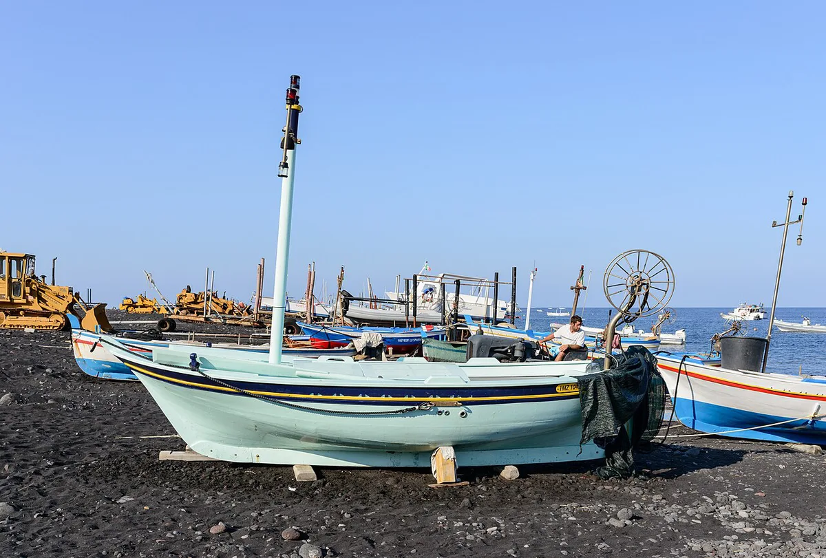
Once on the island, you move on foot between San Vincenzo, Ficogrande and Piscità. Ginostra is reached separately, so plan it as its own outing rather than a walk. A day trip lets you see the coast and Sciara del Fuoco from a boat. An overnight stay gives you evening time to plan guided access.
If you also visit neighboring Vulcano, compare it with the Gran Cratere on Vulcano.
Mistakes to avoid
Most problems come from trusting a map over current conditions.
- Climbing without a guide where the rules require one.
- Relying on an unofficial app for safety decisions.
- Ignoring weather and closure notices.
- Expecting to see the craters from the villages.
Frequently Asked Questions
Where is Stromboli, Italy?
Stromboli is an island in the Aeolian Islands, north of Sicily. Almost the entire island is one active volcano.
Is it worth visiting Stromboli?
Yes, if you want to see an active volcano and its Sciara del Fuoco slope. Even without a summit walk, boat views and village viewpoints give a clear sense of the island.
Does anyone live on Stromboli island?
Yes. The village of Stromboli, with San Vincenzo and Ficogrande, and the separate settlement of Ginostra are both inhabited.