Kaiserstuhl Guide: Trails, Wine & Getting There from Freiburg
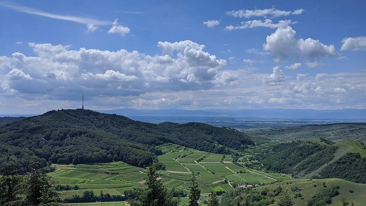
Last updated November 2026: the Kaiserstuhl is an extinct volcanic low mountain range in the Upper Rhine plain, north-west of Freiburg in Baden-Württemberg. It is known for wine, hiking and a warm, sunny climate. You visit it for vineyard terraces and loess ravines, which sets it apart from the volcanic regions across Germany that offer crater lakes.
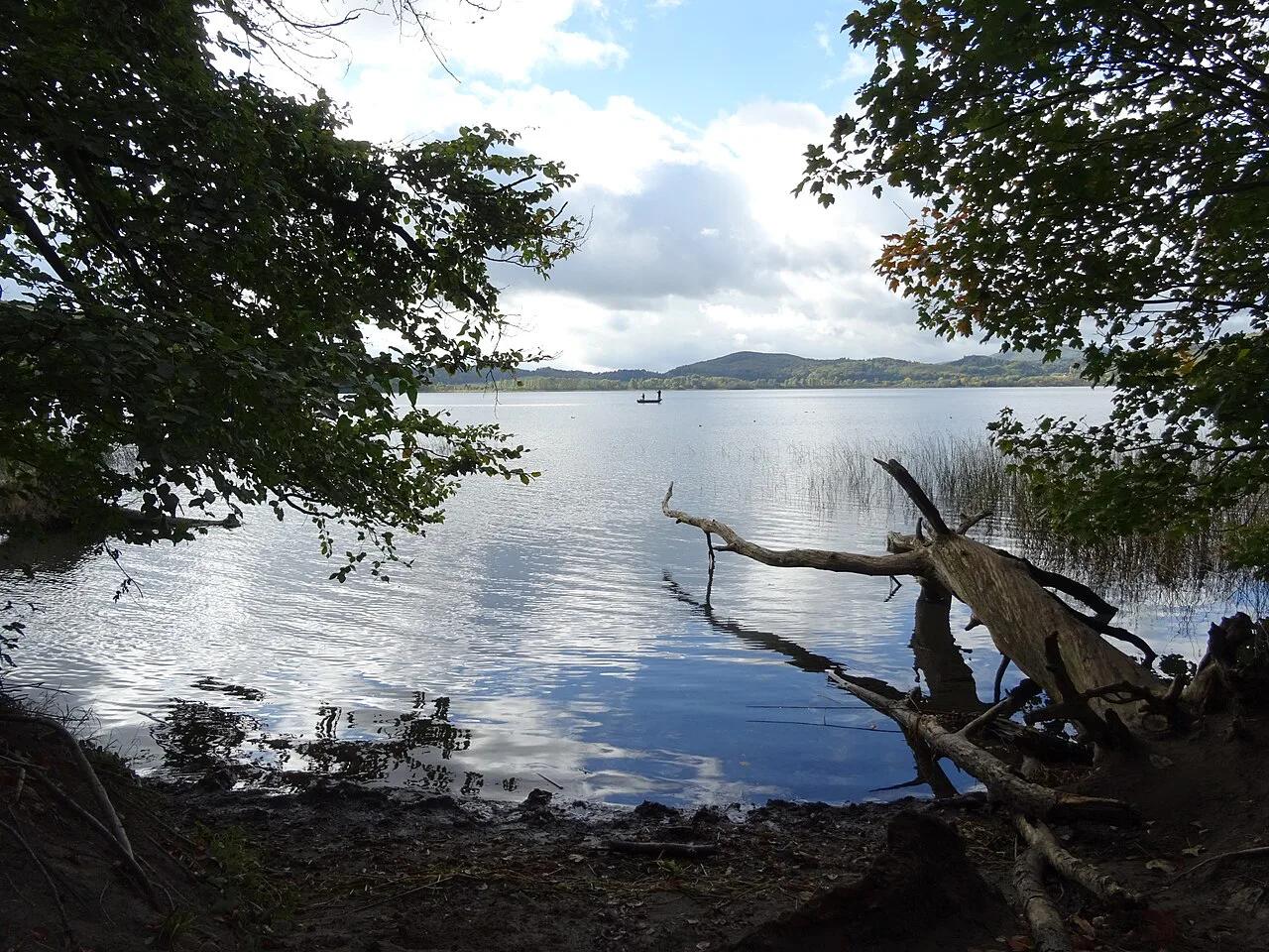
Featured image: Michael Schmalenstroer, CC BY-SA 4.0, via Wikimedia Commons.
Kaiserstuhl at a glance: what it is and where it sits
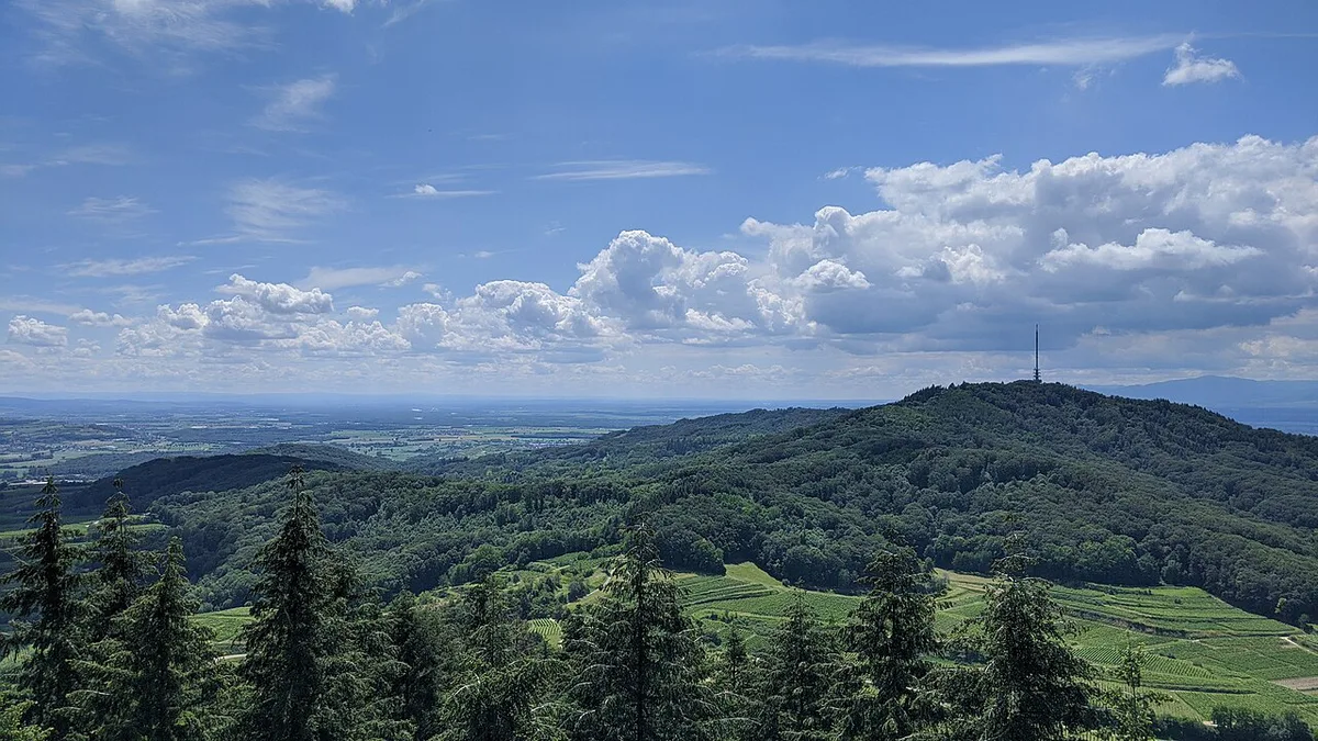
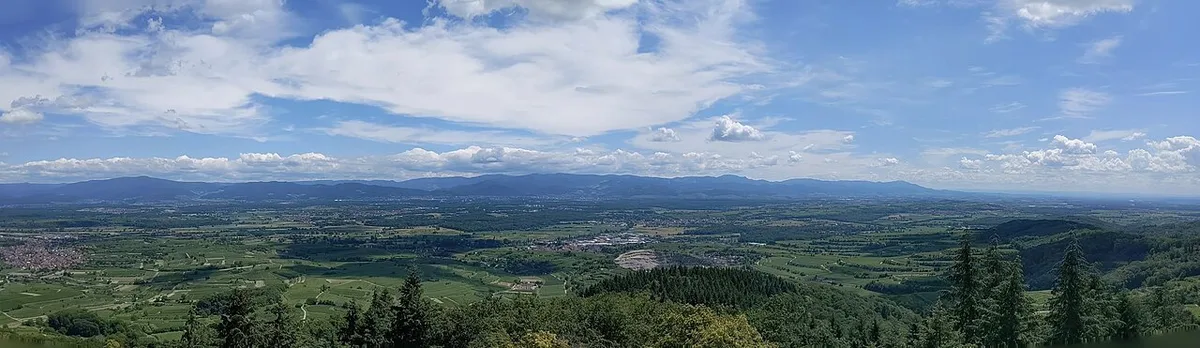
Kaiserstuhl rises from the Rhine plain between the Black Forest and the Vosges. It covers around 100 square kilometres (about 39 square miles), according to the regional nature body Naturgarten Kaiserstuhl. Volcanism here ended roughly 16 million years ago. It is not active, so there is no eruption risk for hikers. For the contrast case, see our explainer on whether the Eifel volcano is active.
- Region: southern Baden, Baden-Württemberg
- Nearest city: Freiburg, with Breisach on the Rhine as a second gateway
- Best for: wine walks, birdwatching, botany, cycling
- Car-free: yes, via the Breisgau S-Bahn and local buses
How to get there from Freiburg
Freiburg's tourist office says the Breisgau S-Bahn runs from Freiburg main station to Endingen or Ihringen in about 30 minutes. Both towns are trailheads for the long Kaiserstuhlpfad. Breisach, on the Rhine, is another rail gateway. Driving works too, but parking at small wine villages is limited. Check the current timetable for last services before you start a one-way walk.
Freiburg's S-Bahn ride to Endingen or Ihringen takes about 30 minutes, and the roughly 21 km Kaiserstuhlpfad runs between those same two towns.
Which Kaiserstuhl trail should you pick?
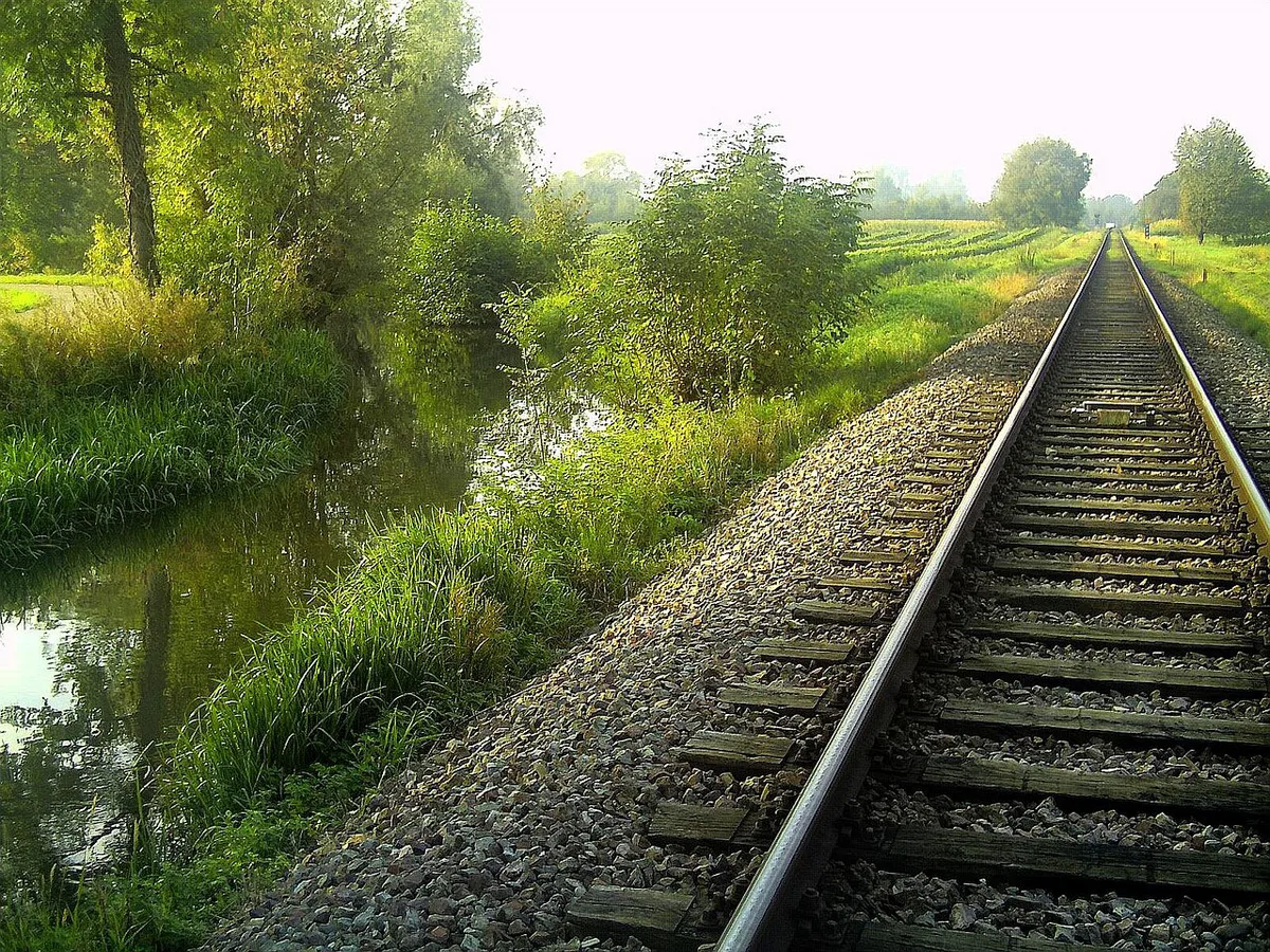
Kaiserstuhl trails differ more in character than in difficulty. The long Kaiserstuhlpfad runs between Endingen and Ihringen and is roughly 21 km (about 13 miles). It won second place in Germany's 2019 most beautiful hiking trail competition, according to Freiburg's tourist board. Pick by how much time and shade you want.
| Trail | Length | Best for | Start and finish |
|---|---|---|---|
| Kaiserstuhlpfad | About 21 km, a full day | Volcanic rock, forest, loess ravines, vineyards | Endingen to Ihringen, both on the S-Bahn |
| Burgunderpfad | Check the local trail map | Wine villages and Rhine views toward the Vosges | Tuniberg hills |
| Bickensohl Lösshohlwege path | Check the local trail map | Deep loess ravines | Bickensohl |
| Burkheim wine path | About 4.5 km, 24 information steles | Short wine-history loop | Burkheim, circular |
- First-time day-tripper: Kaiserstuhlpfad, ideally one direction by S-Bahn
- Wine-focused couple: Burkheim loop or Burgunderpfad
- Geology fans: the Bickensohl ravine path
- Cyclists: one source describes a loop around the Kaiserstuhl and Tuniberg in a single day
How to plan your time
A half day suits the Burkheim loop or a section of the Bickensohl ravine path. A full day suits the Kaiserstuhlpfad, which is long enough that a late start costs you daylight and tasting time. A weekend base in Breisach or a wine village lets you split the trail and add a second walk. Avoid these common mistakes.
Half a day fits the Burkheim loop, which is about 4.5 km long and passes 24 information steles, so it suits a shorter outing.
- Starting the long trail late
- Planning a one-way walk with no return plan
- Hiking in peak midday heat on exposed slopes
- Assuming every winery is open every day
- Drinking before the last leg
Wine and local food on the trail

Freiburg's tourist board lists wine taverns, wineries and restaurants along the trails. Regional dishes include tarte flambée and onion tart. Pinot Gris (Grauburgunder) is the grape most often linked with the area. Many visitors stop at wine cooperatives after the walk. Drink water first, keep tastings small, and leave the final leg sober. Opening patterns vary, so ask locally before building a route around a single stop.
Nature, geology and why it is volcanic
Volcanic rock sits beside loess, wind-blown dust that settled up to 60 metres thick after the Ice Age. Trails cut deep into it, which makes the ravines on the Bickensohl path easy to read as geology. Wildlife includes bee-eaters, green lizards and dozens of wild orchid species, as the regional nature garden describes. Stay on marked paths, respect protected habitats and leave flowers unpicked.
Best time to visit and weather
The area is among Germany's warmest and sunniest, so exposed vineyard slopes can be hot in summer. Carry water and plan shade stops. Spring brings blossom and autumn brings the wine harvest. Both seasons suit walking, but check local events before booking lodging.
How the Kaiserstuhl got its name
Local tradition links the name to Otto III, who is said to have held a court day near Sasbach on 22 December 994. The range was then called the Königsstuhl, and the name changed after Otto became emperor. Treat it as a local story rather than a settled record.
Kaiserstuhl vs Germany's other volcanic areas
Choose Kaiserstuhl for vineyards, sun and gentle trails. Choose the Eifel volcanic landscape for maars and lava history. The Geopark Vulkaneifel is the official starting point there. Other extinct volcanic landscapes include the Vogelsberg highlands. Another is the Siebengebirge hills.
Plan a car-free point-to-point hike
For a straightforward car-free day, use the Kaiserstuhlpfad as a one-way walk. Take the Breisgau S-Bahn from Freiburg to Endingen, then walk south-east to Ihringen. Freiburg’s tourist office puts the rail journey to either town at about 30 minutes, so both ends work as practical trailheads.
The full route is about 21 km and is best treated as a full-day outing. Check the final train departure from Ihringen before leaving Freiburg. This matters if breaks, heat, or a wine stop slow the walk. Save the timetable on your phone, since local services can change.
If you prefer to finish where you began, choose a circular alternative instead. The Burkheim wine path is about 4.5 km and has 24 information steles. It is a simpler choice for a shorter outing or a day with uncertain transport plans.