Capelinhos Volcano, Faial: Visit Guide and Tips
Last updated November 2026: Capelinhos volcano, on the western tip of Faial, formed in a 13-month eruption that ran from 27 September 1957 to 24 October 1958. Scientists documented it from start to finish, and the Azores volcano observatory is the body to follow for current activity. You can see a lighthouse buried in ash, an interpretation centre and a bare cinder landscape, so it earns a slot on any Faial itinerary that includes the Azores volcano stops.
Featured image: unukorno, CC BY 2.0, via Flickr.
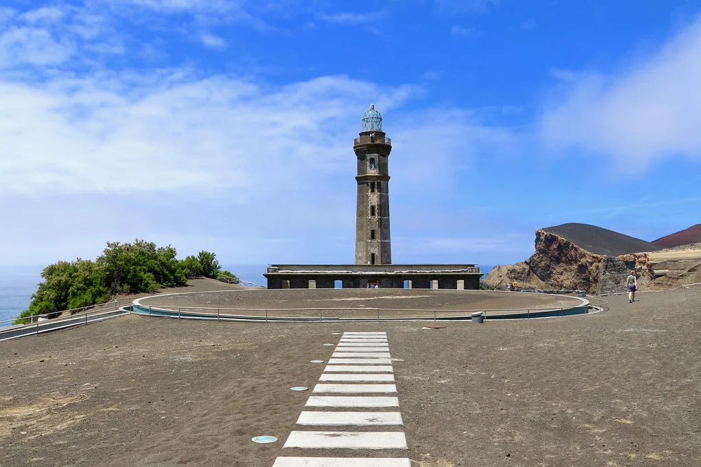
What Capelinhos volcano is and why it matters
Capelinhos is a small volcano on the western coast of Faial. It is the most recent of about 20 small volcanoes along one tectonic line on the island. The eruption began under the sea, about 1 km off the shore. Ash piled up into an islet that later joined Faial. The International Union of Geological Sciences (IUGS) describes it as the first submarine eruption fully monitored and documented from start to finish. That record is why IUGS lists the site as geological heritage, within the Azores UNESCO Global Geopark. Nobody died in the eruption, but ash buried farmland and houses in the parishes of Capelo and Praia do Norte.
What you can see at the lighthouse and interpretation centre
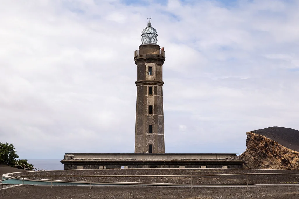
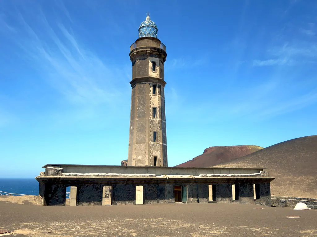
The lighthouse was built in 1894 and once stood on the coast. Ash and cinder now bury it up to the first floor. Steps at the entrance descend into the base through layers of ash before the climb up the tower begins. From the top you look over the new land, which is the point of the visit.
- Lighthouse and tower climb: the clearest way to grasp how much land the eruption added.
- Interpretation centre (Centro de Interpretação do Vulcão dos Capelinhos): exhibits on volcanoes, plate tectonics and the 1957–58 eruption, run alongside the lighthouse.
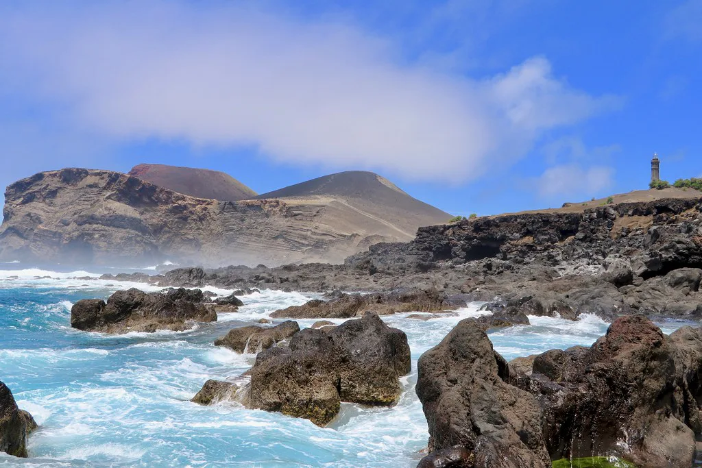
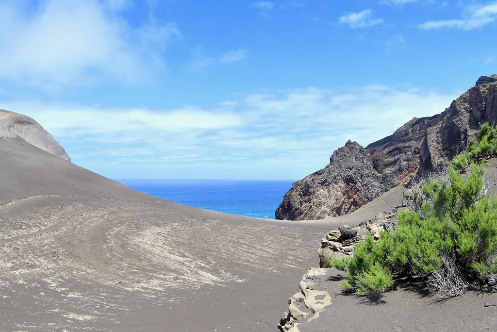
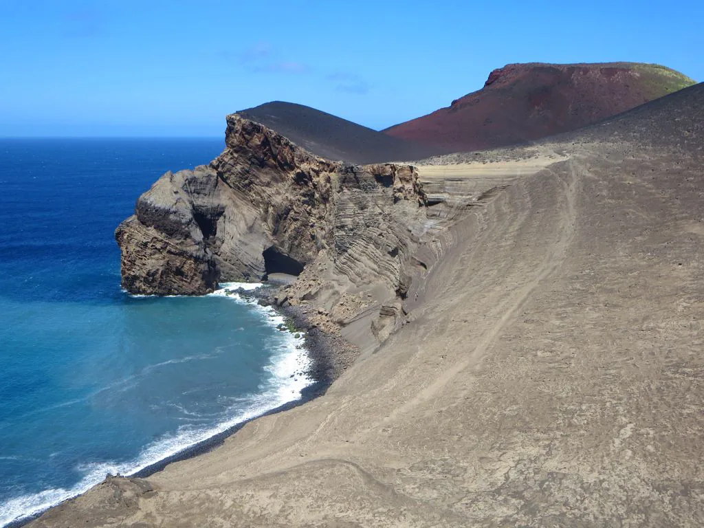
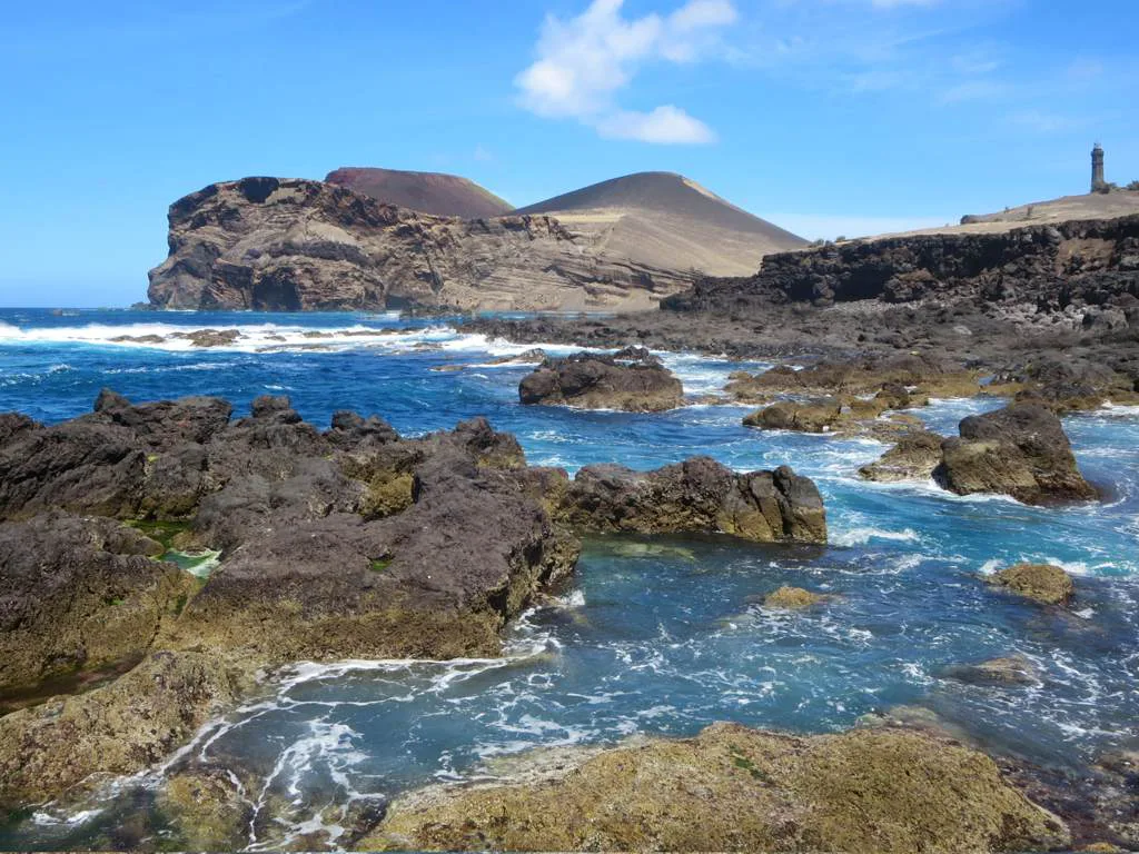
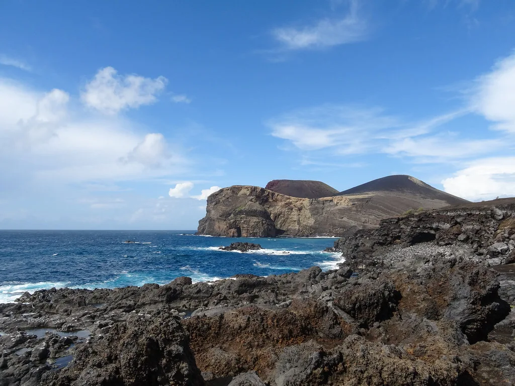
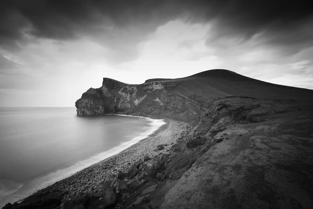
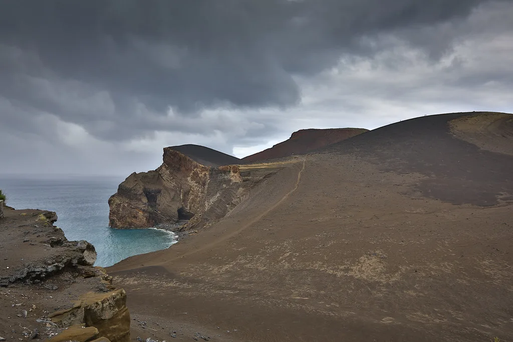
- Ash and cinder landscape: dark slopes, sea cliffs and a headland that keeps eroding and greening.
- Trails: a network of paths runs from the visitor centre toward the cone and caldera summit. Trail names, length and difficulty are on the interpretation centre's site.
How long to spend at Capelinhos
Plan your time around the museum. Our editorial estimate is a quick stop of about 45 minutes for the viewpoint and lighthouse exterior. A half-day lets you read the exhibits properly and walk a trail. Skip the museum only if you already know the eruption story. Most visitors get more from the cinders once they have seen the footage and photographs inside.
On a clear day, plan about 45 minutes for the viewpoint; in fog, the museum is the better use of that time.
| Plan | What it covers | Best for |
|---|---|---|
| Quick stop (editorial estimate: 45 minutes) | Viewpoint, lighthouse exterior, photos | Travelers passing on a loop around Faial |
| Half-day | Museum, tower climb, one trail on the cinders | Anyone curious about volcanoes |
| Full day with other Faial stops | Capelinhos plus the caldera and the coast | Active travelers with a rental car |
Getting to Capelinhos from Horta
Capelinhos is at the western end of Faial, in the parish of Capelo, and you reach it by road from Horta. IUGS gives the site coordinates as 38°36'05.0"N, 28°49'53.0"W, which you can enter into a navigation app. A rental car gives the most freedom on the island. A taxi or a guided volcano tour works if you prefer not to drive. Before you go, ask your hotel or the operator about parking and whether any bus reaches the site.
Capelinhos opening hours, tickets and costs
No published fee or schedule is quoted here. Museum entry, lighthouse access and seasonal hours are listed on the official Capelinhos site, and closures are posted there too.
Weather and safety on an exposed headland
Capelinhos is an exposed headland, so wind, fog and low cloud change the view quickly. On a clear day you see the old shoreline, the lighthouse and the cones together. In cloud the landscape shrinks to the nearest slope, and the museum becomes the better use of your time. Check the forecast from Visit Azores or the national weather service before you drive out. Stay on marked paths. The cliff edges are real, and ash and cinder slopes are loose underfoot.
Pairing Capelinhos with Caldeira do Faial and other volcano sites
The closest pairing on the island is the Caldeira do Faial: Rim Trail, Viewpoint and Plan B Guide, Faial's central crater. Capelinhos shows a recent eruption and its aftermath, while the caldera shows a much larger volcanic structure. Fumaroles opened inside the caldera in May 1958, during the Capelinhos eruption. Other volcanic stops lie on different islands, so build separate days for them.
Pairing with the caldera makes sense because fumaroles opened there in May 1958, when about 450 earthquakes were recorded.
| Site | Type of experience | Effort | Suits |
|---|---|---|---|
| Capelinhos | Museum, lighthouse and cinder landscape | Low to moderate | History and geology fans |
| Caldeira do Faial | Crater rim and views | Moderate | Walkers |
| São Miguel sites | Crater lake and steam vents | Varies | Travelers visiting São Miguel |
- Worth it if you want a dated, documented eruption story and a landscape you can walk.
- Skip it if fog is forecast and you only want a viewpoint.
- Look at Lagoa do Fogo, Azores: Access, Weather & Tips if you are also visiting São Miguel.
- Look at Furna do Enxofre, Graciosa: Visiting the Lava Cave for steam vents, also on São Miguel.
- Gruta do Natal, Terceira: Visitor Guide and Tips is a lava tube on another island, and not on Faial.
The 1957–58 eruption in brief
This timeline gives only the dates the sources agree on. The eruption left a lasting mark on local families as well as on the land.
- 27 September 1957: a submarine eruption begins off the western coast of Faial.
- October 1957: a short-lived islet, known as Ilha Nova, rises to roughly 100 m before the sea reclaims it.
- November 1957: a second event builds a cone that joins Faial by an isthmus.
- May 1958: about 450 earthquakes are recorded as a more explosive phase begins.
- 24 October 1958: the last projectiles are reported and the eruption ends.
- 2 September 1958: the US Azorean Refugee Act authorizes the emigration of about 1,500 people.
- Today: the eruption added 2.4 km² to Faial, and about a quarter remains after sea erosion.
Mistakes to avoid when visiting Capelinhos
Most disappointments come from planning, not from the site.
- Going without checking the weather on an exposed headland.
- Treating it as a pure viewpoint and skipping the museum context.
- Leaving the opening hours and trail status unchecked.
- Underestimating the drive from Horta.
How the Capelinhos eruption built new land
Capelinhos began about 1 km offshore, where seawater met rising magma. This is called a phreatomagmatic, or surtseyan, eruption. Water flashed to steam and shattered the magma into fine ash, producing the dark layers still visible around the lighthouse.
The first cone was easily reshaped by waves. Later eruptions supplied enough ash and cinder to connect the new land to Faial. IUGS estimates that the eruption produced about 174 million m³ of material. It added roughly 2.4 km² to the island at its greatest extent.
The coastline remains part of the story. Sea erosion has removed much of the new ground, leaving about a quarter of that added area. Keep to marked paths so the fragile ash slopes and cliff edges can continue to be studied safely.