Lagoa do Fogo, Azores: Access, Weather & Tips
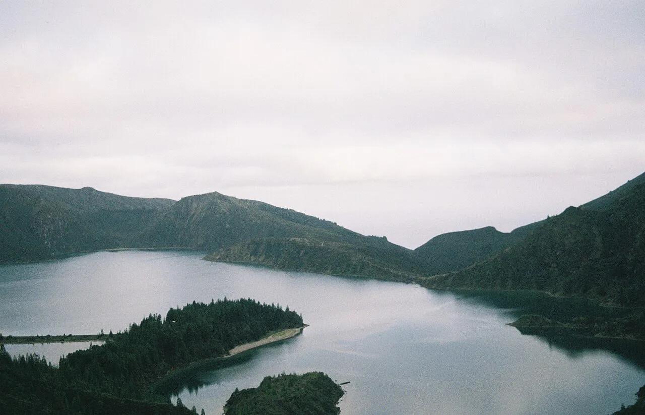
Last updated November 2026: Lagoa do Fogo is a crater lake inside a volcanic caldera on São Miguel, Azores, and its name translates to "Lake of Fire". It suits independent travellers who can accept a weather gamble, because cloud and visibility decide whether the stop pays off. For the wider regional picture, start with our Azores volcanoes guide, then use the decision rules below.
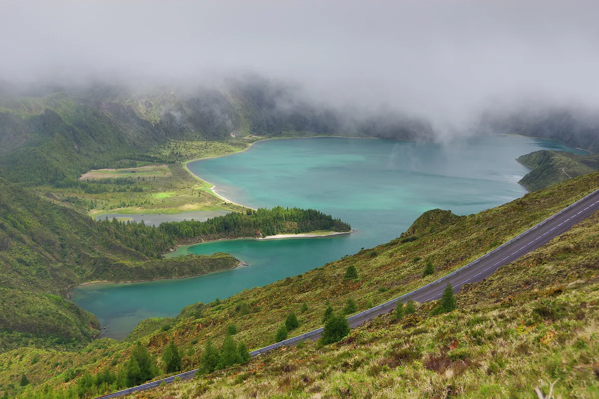
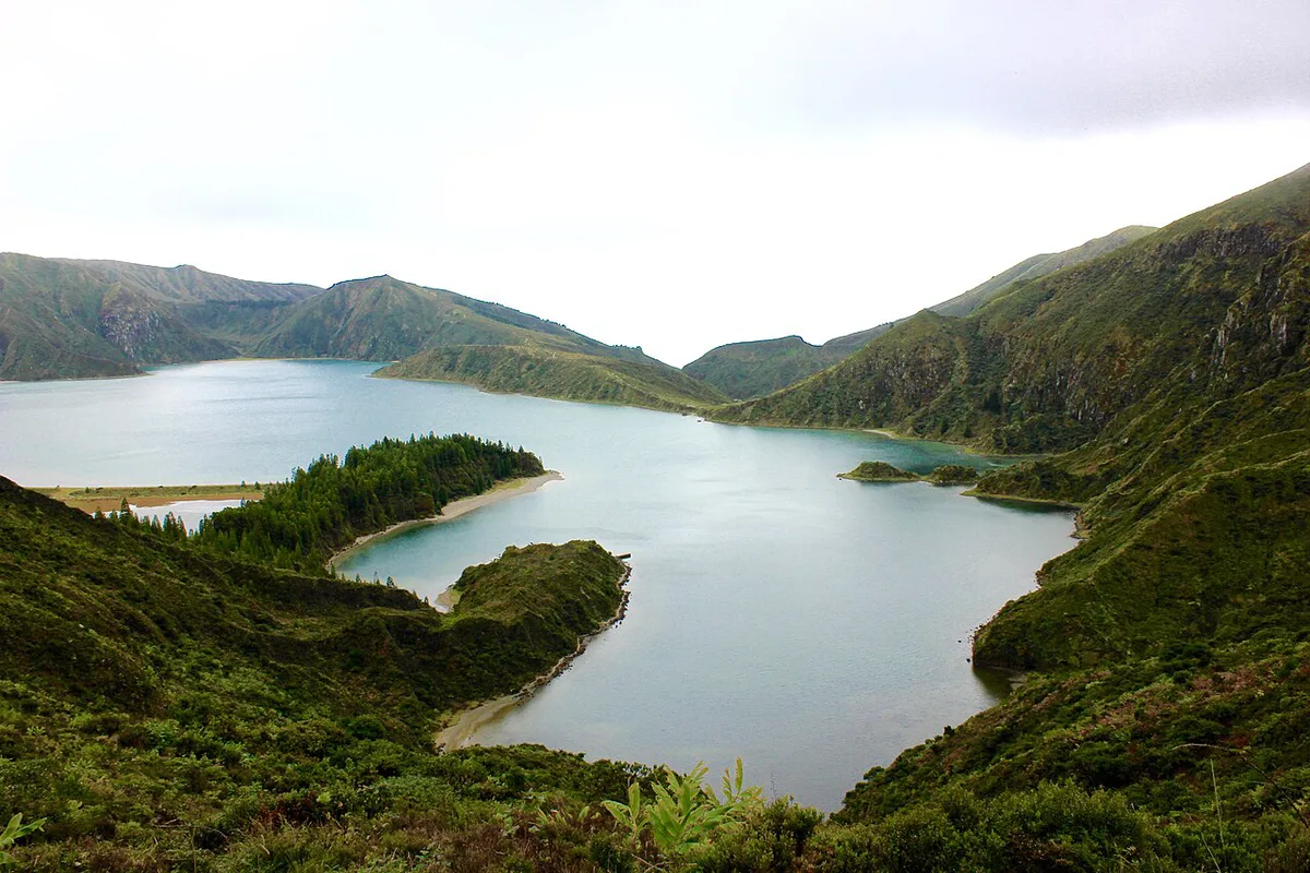
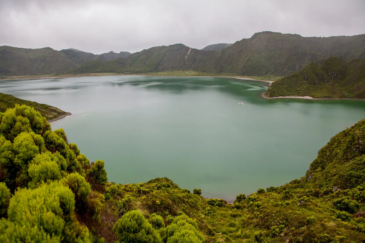
Featured image: Gonçalo Torres, CC BY-SA 4.0, via Wikimedia Commons.
Quick answer: is Lagoa do Fogo worth it?
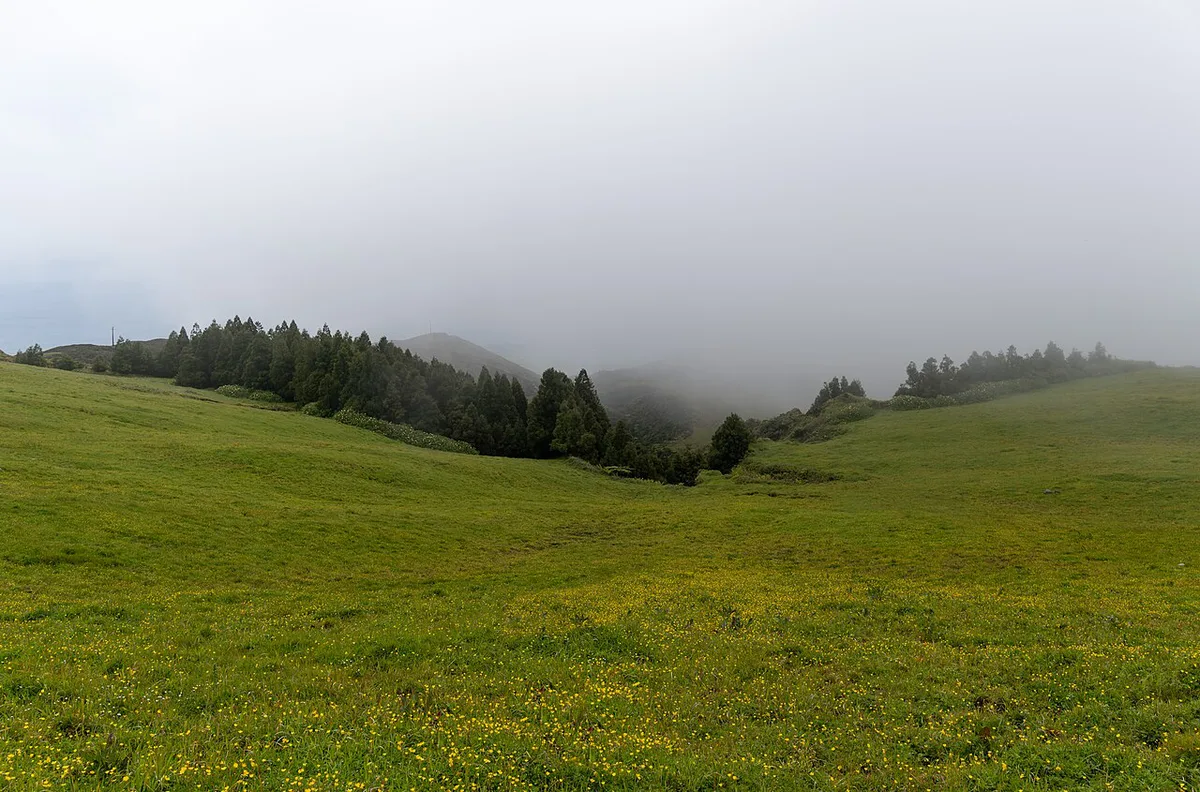
Yes, when the sky is clear. Lagoa do Fogo sits in the Água de Pau massif, inside the Lagoa do Fogo Natural Reserve, between Ribeira Grande and Vila Franca do Campo. Low cloud can hide the lake completely, so a flexible plan matters more than an early start. Use the rule below to decide on the day.
- Go: the forecast shows broken or clear sky over the central highlands and you have a few spare hours.
- Wait: cloud is drifting through, so swap the order of your day and do the thermal stop first.
- Skip: low cloud is forecast all day and your date is fixed. Spend the time at a coastal or thermal stop instead.
What you'll see and do at Lagoa do Fogo
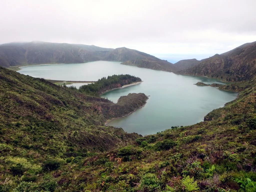
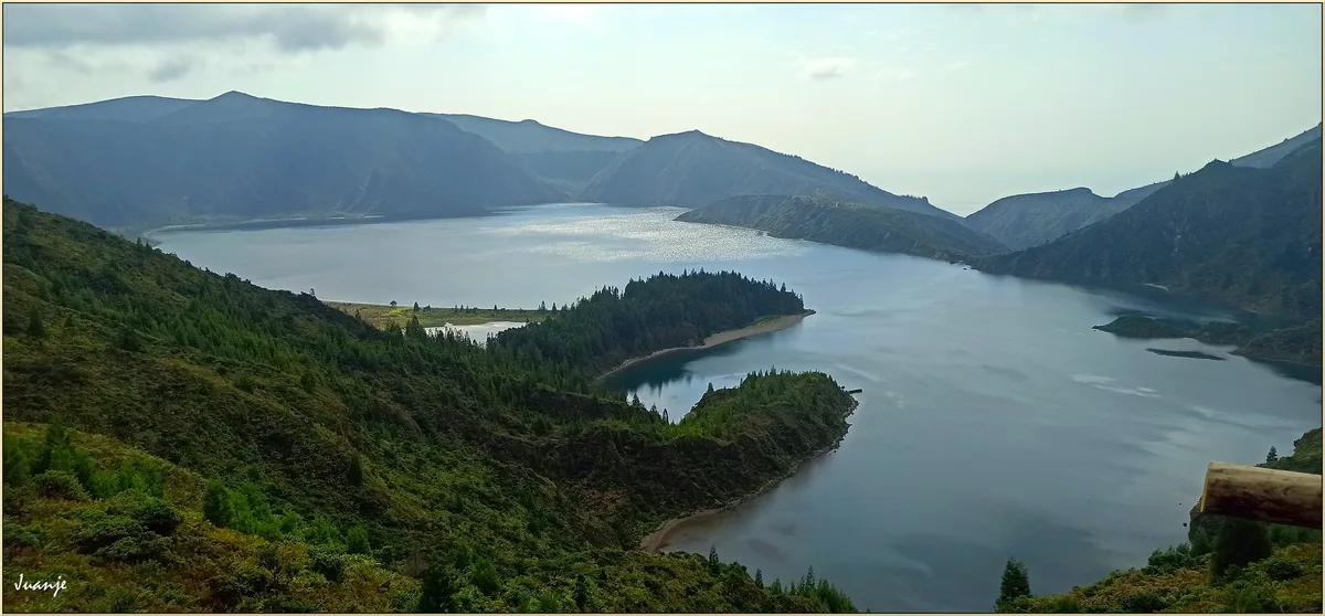
The main payoff is the view of the lake sitting in its caldera. A viewpoint above the water gives the classic outlook, and the colour of the lake shifts with light and cloud. Lakeside access and walking routes depend on current reserve arrangements, so check Visit Azores for the route you plan to use. Swimming is not something to assume. Confirm whether it is permitted, and where, before you pack a towel for the water. Photographers should budget extra time for cloud to clear rather than rushing back to the car.
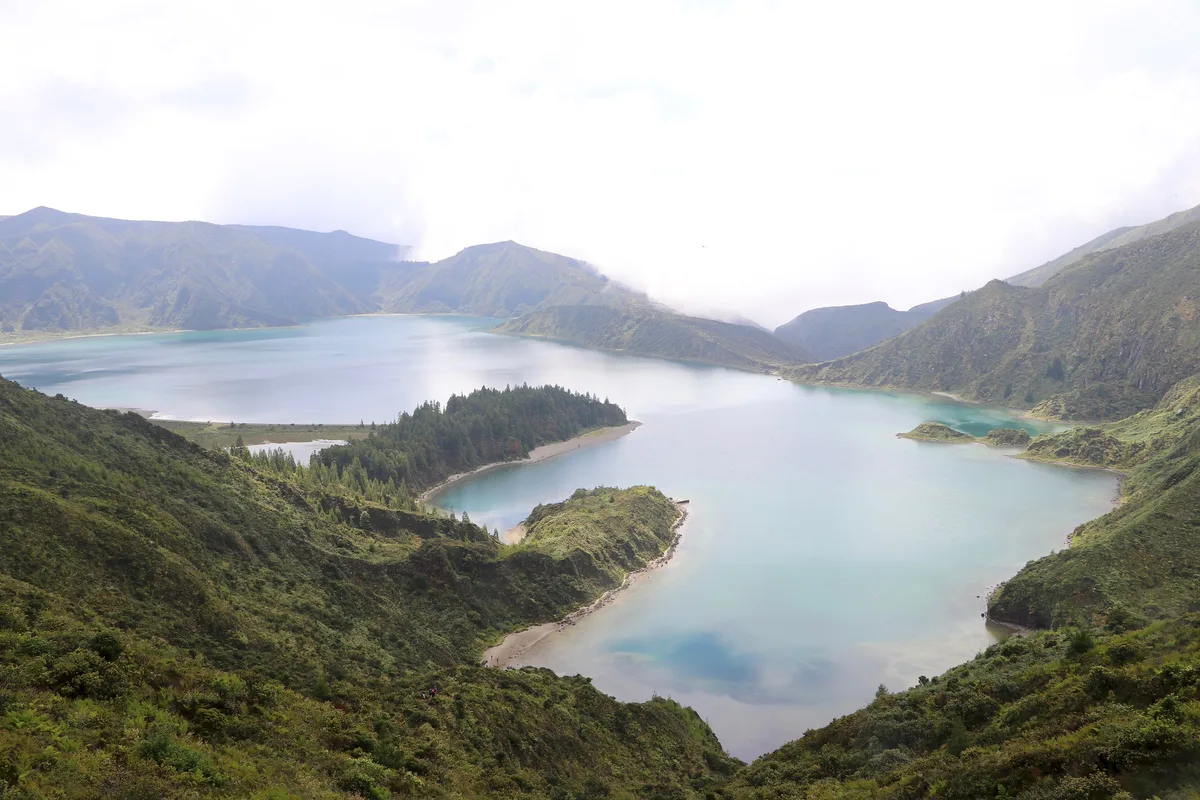
Lagoa do Fogo viewpoints and how mist decides the visit
Most visitors judge Lagoa do Fogo from the miradouros on the high road, not from the water. The two best-known stops are on the Ribeira Grande side of the caldera. The Miradouro da Barrosa is the easy roadside option, and it is the one most tours and taxis use. The Miradouro do Pico da Barrosa sits higher on the rim and often gives a wider view across the lake.
The lake lies at roughly 575 m and the rim is higher still, so the whole caldera sits in the zone where Atlantic cloud collects. That makes mist the factor that decides the visit more than any viewpoint choice.
- Clear lake, cloud on the rim: you may see little from the upper viewpoint. Try again after 20-30 minutes, because cloud often moves through in waves.
- Mist filling the caldera: the lake can vanish completely and then reappear within minutes. Wait in the car with a flask and keep watching.
- Coast sunny, highlands grey: this is normal on São Miguel. Do not read the weather at your hotel as a forecast for the lake.
If the lake stays hidden, a lower crater lake is a better use of the hour. Lagoa das Furnas and Lagoa das Sete Cidades sit at different elevations and often clear at different times. Check a live webcam or ask your host before committing to the drive up.
How to get there and get around
Most independent visitors self-drive from the Ribeira Grande side or the Vila Franca do Campo side. Taxis and transfers work if you agree a waiting time. Guided options bundle the lake with other stops, and our Azores Volcano Tour: Which One to Book (and When to Skip) page covers that route. Road or viewpoint access can change with weather or conservation rules, so check official sources on the morning you go.
| Option | Flexibility | Cost level | Effort | Weather risk | Best for |
|---|---|---|---|---|---|
| Self-drive | High: you choose the day and the hour | Rental plus fuel | Low to moderate | You can wait out cloud | Travellers with a car and a loose schedule |
| Taxi or transfer | Medium: fixed time slot | Mid to high, split across passengers | Low | Hard to rearrange once booked | Groups who do not want to drive |
| Guided tour | Low: operator sets the route | Priced per person, varies by operator | Low | Operator may reschedule | First-timers who want hotel pickup and context |
| Hike | High, but slower | Lowest | High | Highest: you are exposed to wind and cloud | Experienced walkers with layers |
When to go and how long to allow
Check the cloud forecast first, then pick the clearest part of the day. Wind and cloud can change quickly on high ground, so carry a layer even in summer. A short stop covers the viewpoint and photos. A half day lets you add a walk or a thermal stop and absorb a delay while cloud lifts. Allow more time if you plan any lakeside walking.
Walking down to the lake: what the trail asks of you
The view from the rim and the experience at water level are different trips. Reaching the shore means leaving the viewpoint on foot and descending into the caldera. The way back is the same slope, uphill.
- Footwear: wear hiking shoes or boots with grip. Volcanic soil turns slippery after rain, and the upper slopes are exposed.
- Time: allow a few hours for the round trip, plus a buffer for photos and for cloud to clear. The climb out takes longer than the descent.
- Layers and water: there is little shelter and no café at the lake, so carry water, snacks and a windproof layer even on a warm day on the coast.
- Signal and daylight: mobile coverage can drop in mist. Start early enough to be back at the car well before dusk.
Trail routes, markings and any access restrictions inside the reserve can change, so confirm the current route on Visit Azores before you set off. If the cloud is low when you arrive, do not start the descent. Visibility on the slope is poor in mist, and the payoff at the bottom is a grey lake. Save the walk for a day when the rim viewpoint is clear.
Costs, tickets and rules
Viewing the lake costs you fuel and parking time if you drive. Reserve rules and any fees are set by the regional authorities, so read the current notes on Visit Azores before you set off. Tour prices differ by operator, and inclusions such as hotel pickup, entry fees and lunch change the comparison. Ask each operator what is covered before you book. Caldeira Velha is a separate managed site with its own entry arrangements, so budget for it on its own. Volcanic monitoring across the islands is handled by the IVAR/CIVISA volcano observatory.
Pairing Lagoa do Fogo with Caldeira Velha
Thermal pools make a natural second stop on the same day. Read our Caldeira Velha guide for pool details, because its rules differ from the lake's. Pools can close after heavy rain, so treat them as a bonus rather than a fixed plan. Here is a sample half-day route with a rain fallback.
- Morning: check cloud on the highlands and decide whether the lake comes first.
- Clear sky: drive to the Lagoa do Fogo viewpoint and give it time to open up.
- Afterwards: head down to Caldeira Velha for the thermal stop.
- Cloudy or wet: reverse the order, or skip the lake and keep the thermal stop only.
- Trade-off: pools need a swimsuit and towel, while a hike needs boots and rain layers.
Where to stay
Lagoa do Fogo is a day-trip stop, not a base. Choose the area that fits your wider São Miguel itinerary, with Ribeira Grande on one side and Vila Franca do Campo on the other. Pick a base with easy road access to the highlands so you can move when the weather does.
Mistakes to avoid
Most disappointing visits come from rigid plans rather than from the lake itself. Pack one line of gear: swimsuit, towel, layers, rain jacket, hiking footwear, water and snacks. Then plan the day around the sky. For more volcanic sights beyond São Miguel, see Capelinhos, and read about the site through the Capelinhos Interpretation Centre. Furna do Enxofre, Graciosa: Visiting the Lava Cave is another option. These sit on other islands, so treat them as separate trips rather than a same-day add-on. Return to the Azores volcano overview to plan the next stop.
- Going without a backup plan for cloud.
- Leaving layers in the car.
- Assuming thermal pools are always open.
- Swimming in the lake without checking current rules.