Caldeira do Faial: Rim Trail, Viewpoint and Plan B Guide
Last updated November 2026. The caldeira do faial is the summit crater at the centre of Faial island in the Azores, and it is a Nature Reserve. It suits visitors with a car, a clear forecast and a few spare hours, and it is a poor use of a short stopover under low cloud. Below you will find how to reach the Cabeço Gordo viewpoint and the rim by road, what the 6,80 km loop involves, and what to do if the crater is clouded in.
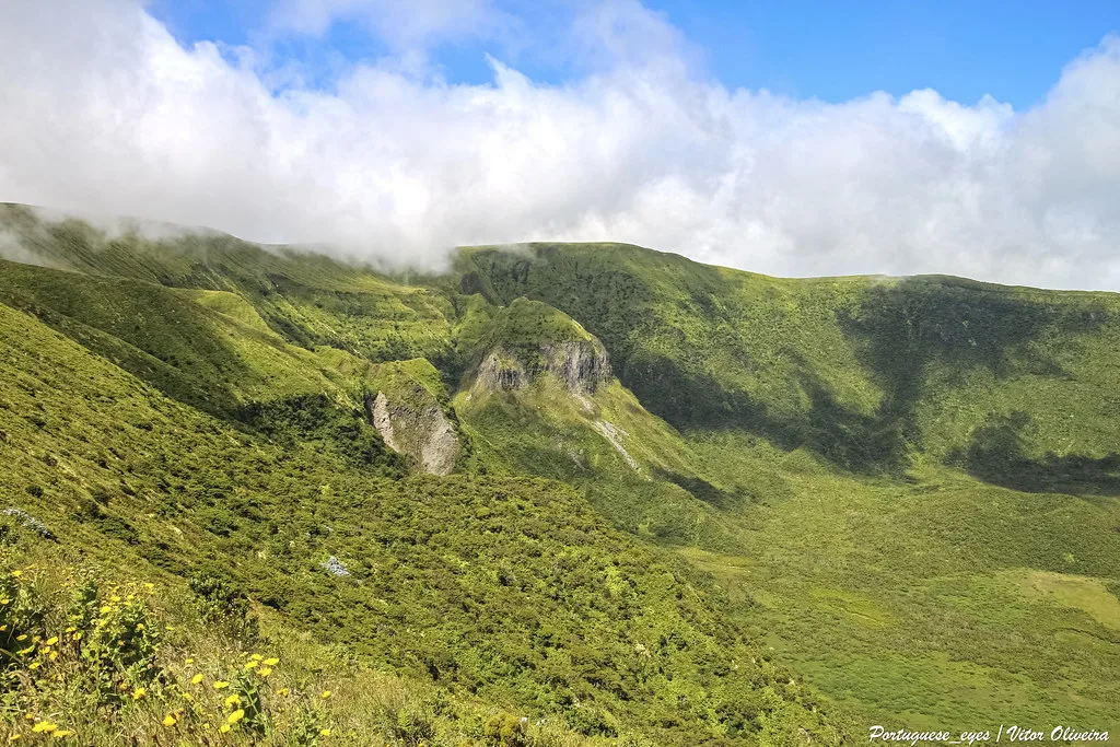
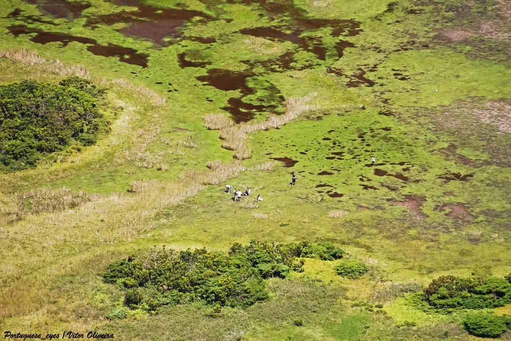
Featured image: Portuguese_eyes, CC BY-SA 2.0, via Flickr.
Caldeira do Faial at a glance
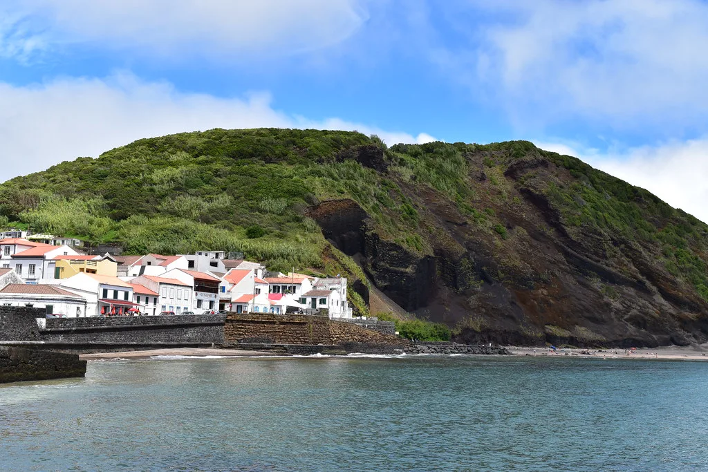
Caldeira is the Portuguese word for a large volcanic crater, and Faial's sits at the top of the island. Visits come in two forms: a short stop at a viewpoint by road, or a waymarked walk around the rim. Trail data for the walk lists a loop of 6,80 km, about 4.2 miles. Other details change with weather and road works, so use the official sources linked below for current status.
- What it is: the summit crater of Faial, inside a Nature Reserve.
- Visit types: roadside viewpoint near Cabeço Gordo, or the Trilho – Caldeira rim loop.
- Loop length: 6,80 km (about 4.2 miles), starting and ending at the same point.
- Trailhead coordinates: 38.58041, -28.70647 (latitude, longitude).
- Best for: clear mornings, drivers and confident walkers in sturdy shoes.
Is the Caldeira worth it? Who should go and who should skip
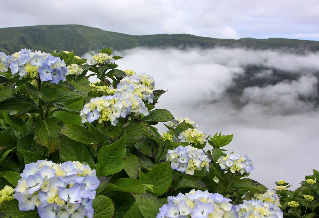
Go if you have a car, a flexible schedule and a forecast with clear air over the island's high ground. Skip it if you have only a few hours on Faial, no warm layer or footwear with grip, or a forecast of low cloud. Cloud sitting on a crater hides the very thing you came to see. Visibility at the summit can be very different from conditions at the coast, so judge the summit separately.
| Situation | Recommended action |
|---|---|
| Clear sky, own car | Drive to the Cabeço Gordo viewpoint, then decide on the rim loop. |
| Low cloud forecast | Postpone, or switch to Capelinhos on the same island. |
| No car | Book a guided transfer or tour rather than attempting the climb from the coast. |
| Short stopover | Choose one Faial sight; Capelinhos is the easier fallback. |
| Full day, good weather | Combine the caldera with a Capelinhos stop. |
Getting there: car, tour or on foot
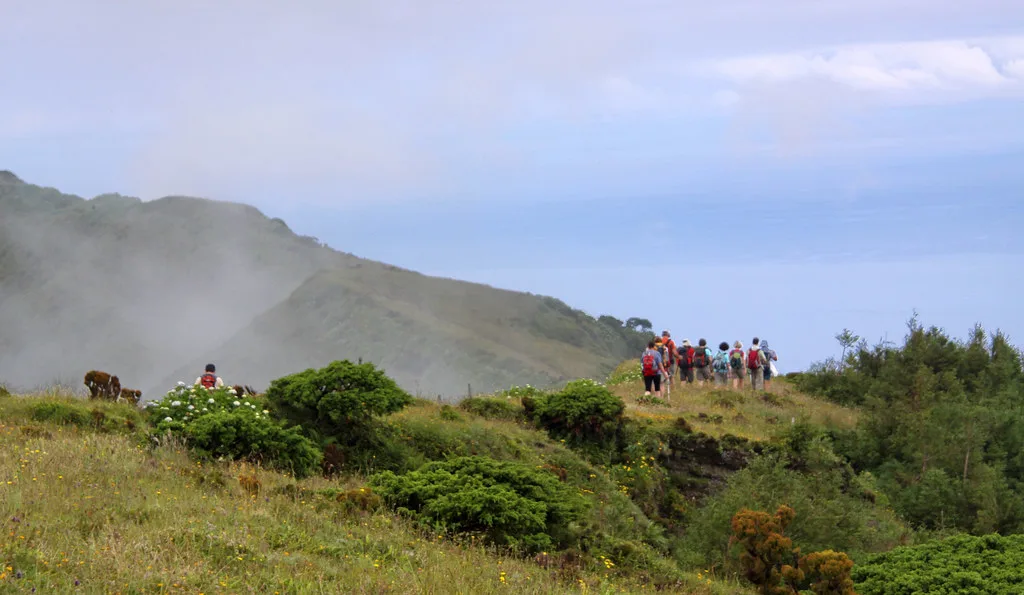
A car gives you the most freedom, because the crater sits high on the island and you can wait for cloud to lift. Follow the signs for Caldeira and Cabeço Gordo on the island's roads, and plan to park at the viewpoint or trailhead. Without a car, a taxi or a guided excursion removes the parking and navigation problem. Our Azores volcano tour guide covers guided options. Walking up from the lowlands is possible in principle, but it adds a long, steep climb before the rim loop even begins. Ask your accommodation or the island's tourism office for current road and bus information.
A 6,80 km loop is only part of the effort if you walk up from the lowlands, because the steep climb comes first.
| Option | Effort | Flexibility | Main catch |
|---|---|---|---|
| Rental car | Low | High | Fog can close in while you drive up. |
| Taxi or guided tour | Low | Medium | You follow a set schedule and return time. |
| Walking from the lowlands | High | Medium | A long climb comes before the loop, and you need daylight to get back. |
The rim loop (Trilho – Caldeira)
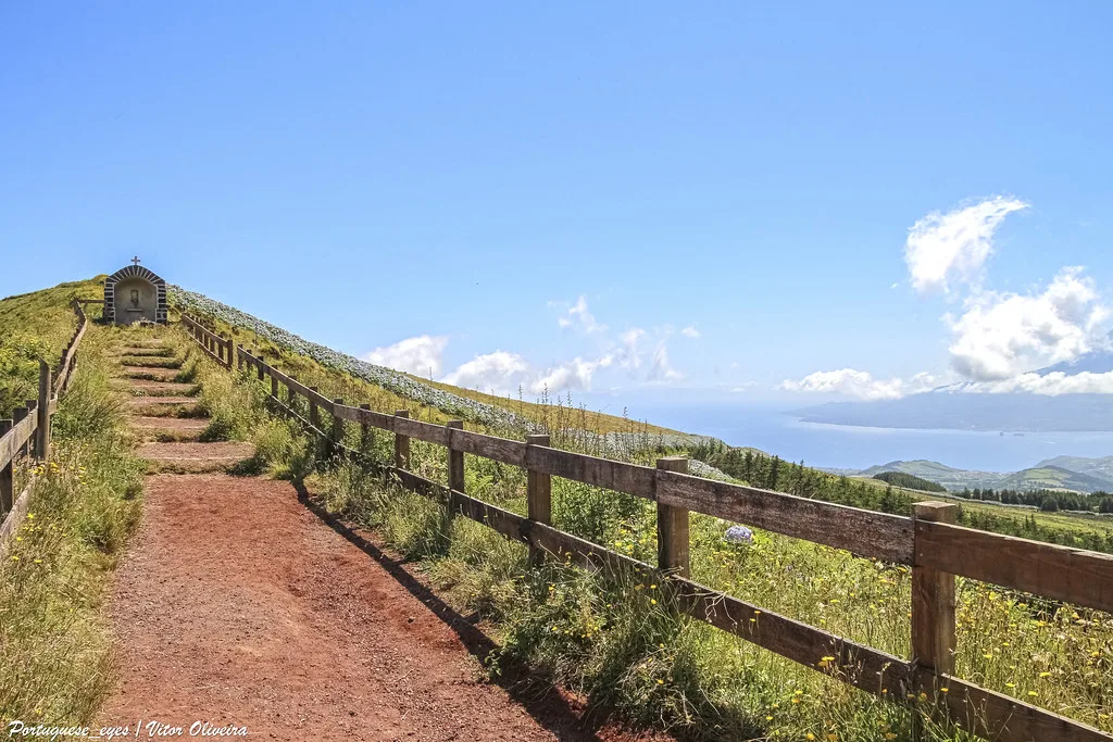
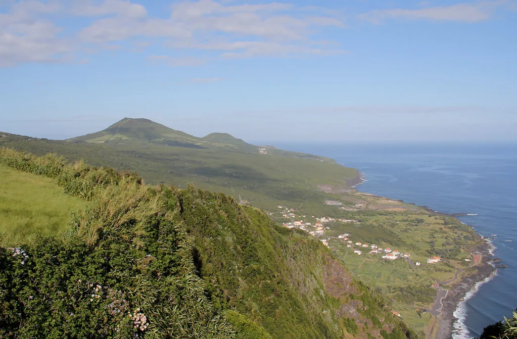
The waymarked Trilho – Caldeira is a loop of 6,80 km, roughly 4.2 miles. It starts and ends at 38.58041, -28.70647, so you can type those coordinates into a map app. A GPX file is available from the Destinazores trail page, and the official Visit Azores tourism site is the place to check trail status. Allow a few hours at an easy walking pace, with extra time for photos and for waiting out cloud. Wind, fog, cold and wet ground are the main hazards on a summit rim. Wear boots or trail shoes with grip, and keep a windproof layer in your bag.
Weather, timing and Plan B
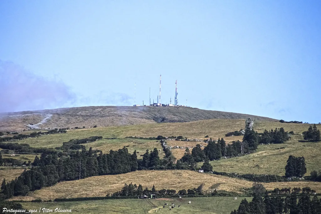
Start early, when the air is often clearer, and look at the forecast for the high ground rather than for the coast. Azores weather can change within an hour. The island's volcanic setting is monitored by the IVAR/CIVISA volcano observatory, which publishes information on the region's volcanic activity. If cloud blocks the crater, drive to Capelinhos volcano instead. Its interpretation centre gives you an indoor option when the weather turns. For other islands, our Azores volcanoes overview shows where else to go.
Rules, protection and safety
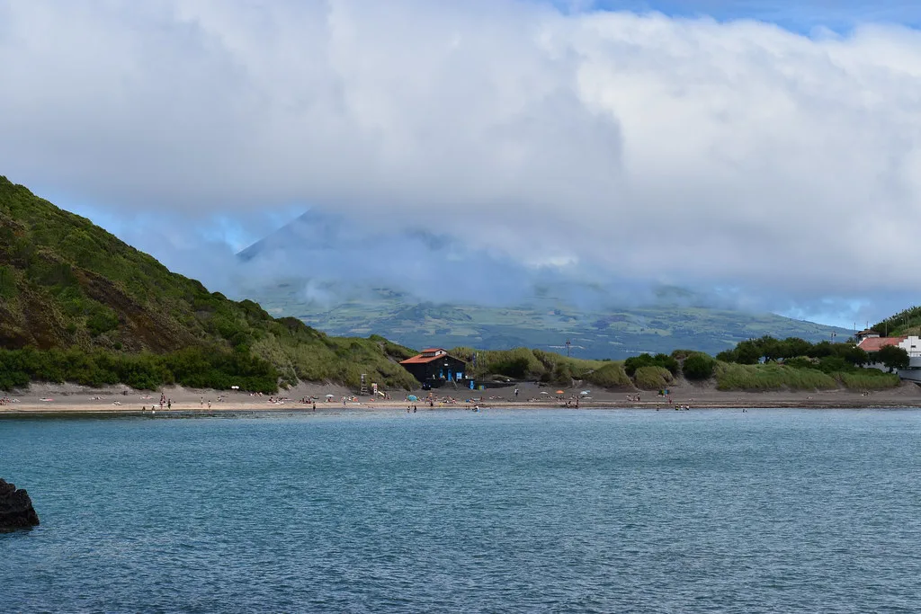
The caldera is a Nature Reserve, and the trail signs ask you to treat the landscape as protected. Walkers are asked to take all their rubbish out with them, and to carry out any more they find. Stay on the marked route, because the rim edge can be steep and the ground is exposed to wind. Start with enough daylight to finish the loop. Tell someone your plan, and check local rules on drones and camping before you fly or pitch anything.
Combine it: a Faial volcano day and other Azores craters
A sensible volcano day starts with the Caldeira while the air is clear, then moves on to Capelinhos in the afternoon. That order means a fog delay at the crater costs you less. For comparison, Lagoa do Fogo, Azores: Access, Weather & Tips is a crater lake on another island, and Caldeira Velha Guide: Hot Springs, Tickets & Tips is a thermal site on São Miguel. Our Furna do Enxofre guide covers a volcanic cave on Graciosa. Faial's caldera is different from these because it is a summit crater with a rim walk, rather than a lake or a thermal pool.
Frequently Asked Questions
Where is Faial?
Faial is one of the nine islands of the Azores archipelago in the Atlantic. The Caldeira is at the top of the island, and the coast is the starting point for most visits.
Are the Azores volcanic islands?
Yes. The islands are volcanic, and the IVAR/CIVISA observatory monitors volcanic activity across the region. Faial's Caldeira and Capelinhos are two of the island's volcanic sights.