Lagoa do Canário, São Miguel: How to Visit & Trails
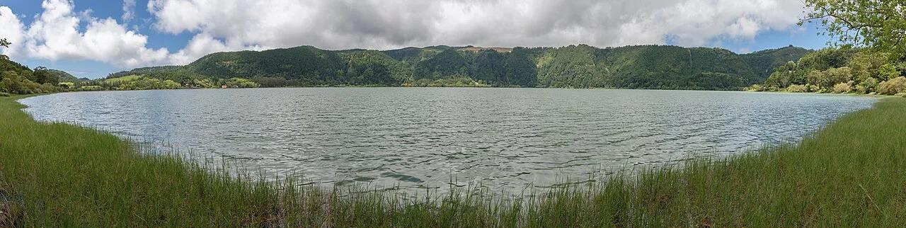
Last updated November 2026. Lagoa do Canário (often typed as lagoa do canario) is a small volcanic lake at about 2,460 ft (750 m) in the Mata do Canário forest park. It sits close to the Sete Cidades crater on the western side of São Miguel. A short forest walk from a car park leads to the water, and trails from the same car park climb toward the crater-rim viewpoints.
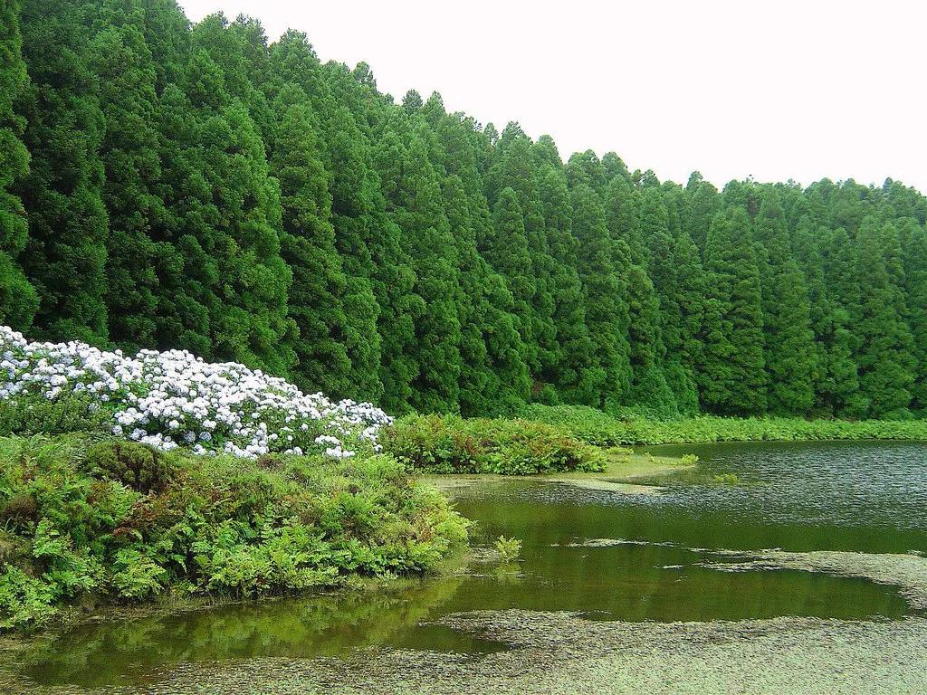
Featured image: Portuguese_eyes, CC BY-SA 2.0, via Flickr.
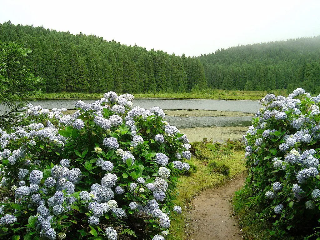
Lagoa do Canário at a Glance
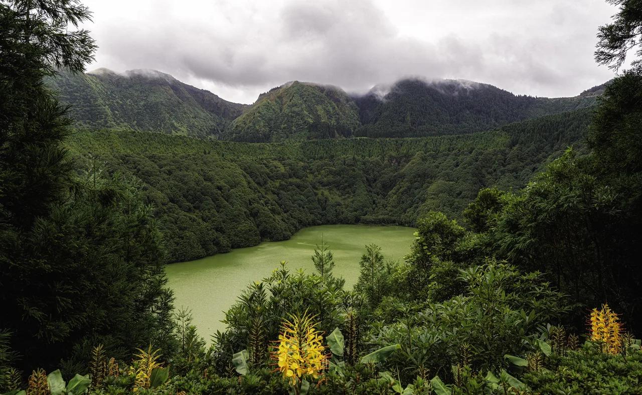
Lagoa do Canário is a volcanic lake with intensely green water, ringed by tall conifers and lush undergrowth. It is a separate, much smaller lake than the big twin lakes in the caldera below. Cloud is the main caveat, because the lake and rim sit high on the island.
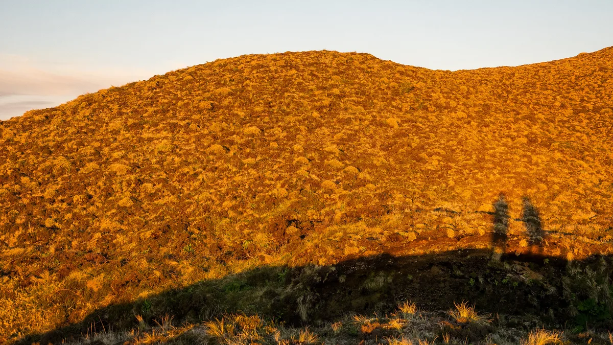
- What it is: a small crater lake inside the Mata do Canário forest park.
- Where it is: on the western São Miguel rim, near the Sete Cidades caldera.
- Altitude: about 2,460 ft (750 m).
- Best for: travelers who like short forest walks, picnics and rim views.
- Main caveat: fog and low cloud can hide the rim views.
How to Get to Lagoa do Canário
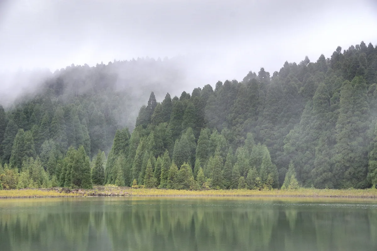
Walking starts at the car park, so every option ends with the same short footpath. A rental car gives you the most freedom to pair the lake with other rim stops. Public buses leave Ponta Delgada only a couple of times a day, according to a 2022 traveler account. That schedule can force a long stay before a return bus, so check the current operator timetable before you plan around it. Our guide to getting from Ponta Delgada to Sete Cidades covers the wider route options.
| Option | Flexibility | Time pressure | Best for |
|---|---|---|---|
| Rental car | High: stop where you like | Low | Combining the lake with rim viewpoints |
| Guided tour | Low: fixed itinerary | Set by the guide | No driving, with a local guide |
| Public bus | Low: few departures | High: return gaps | Long rim walks with a full day |
| Taxi | Medium | Medium | Short one-way hops, with a pickup arranged |
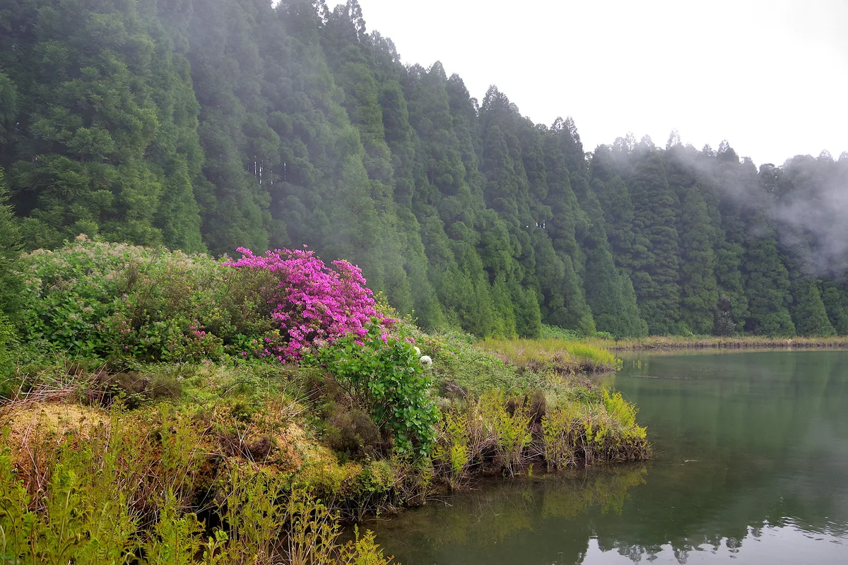
The Walk In: What to Expect
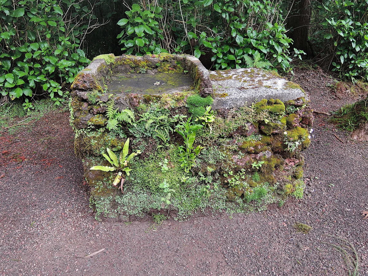
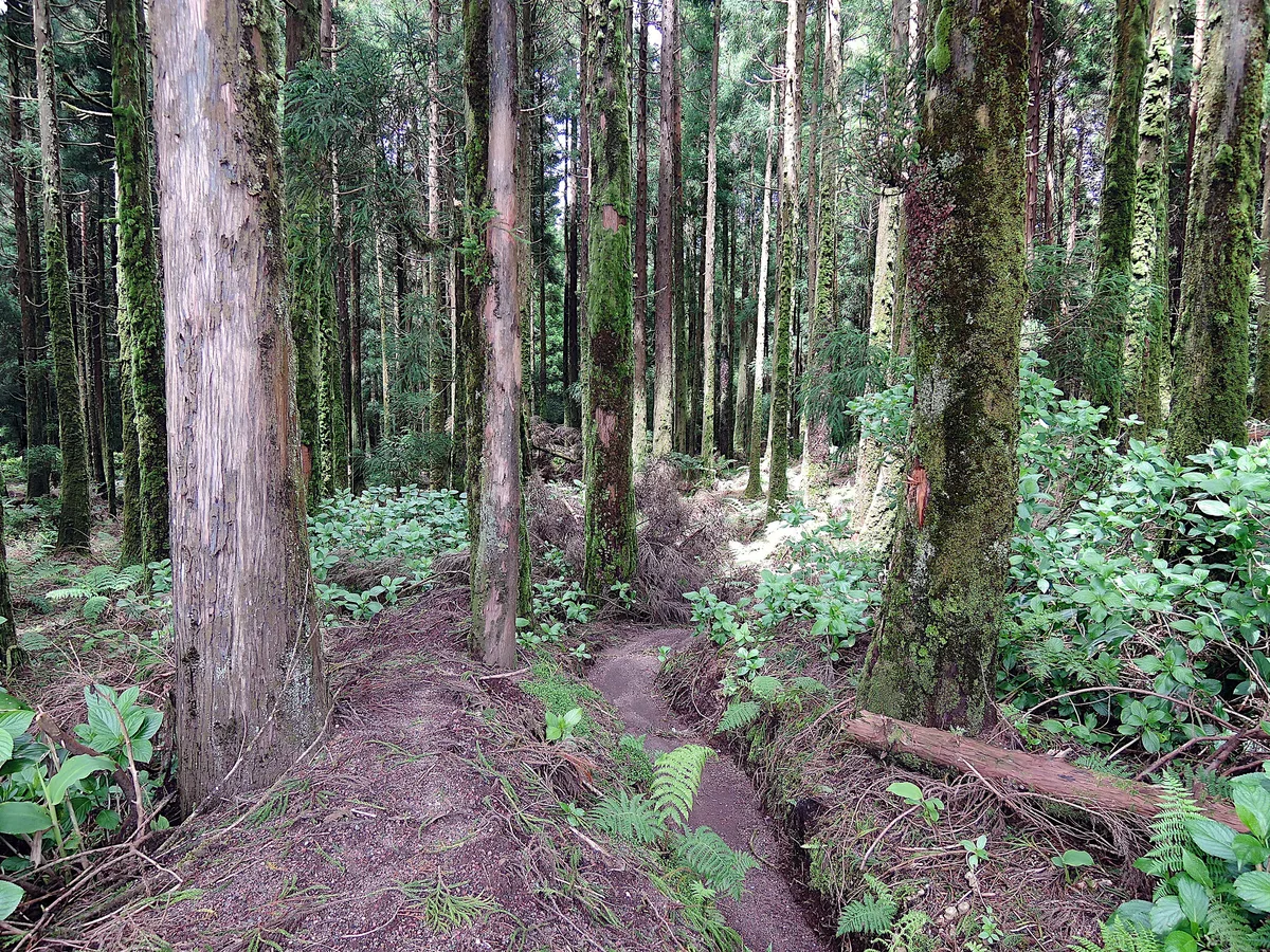
From the car park, footpaths run through a forest of very tall conifers. The air feels calm and a little chilly. You pass picnic tables and barbecues, some of them overgrown. After a fairly short walk, a gap between the tree trunks opens onto the shore of the small lake. Facilities are minimal, so bring water and snacks. Surface and suitability for strollers or limited mobility are not documented, so look at the path before committing.
Trails from the Car Park
Two marked routes start at the car park. PRC05 SMI runs through the Serra Devassa. A linear trail leads to the Grota do Inferno viewpoint. Check trail status, length and duration on the official Azores tourism site before you set out. A dirt trail also climbs from the lake to the crater rim. Along the rim you reach the Boca do Inferno viewpoint, where a path leads to a promontory platform. From there you see the Sete Cidades village on the crater floor. On a clear day another Azores island can appear in the distance.
- PRC05 SMI through Serra Devassa: a marked route for walkers who want more than the lake.
- Linear trail to Grota do Inferno: suits an out-and-back viewpoint walk.
- Rim route to Boca do Inferno: best for those who want the caldera view.
How Much Time to Plan
No official visit length is published for the lake, so these tiers are approximate and describe the scale of each plan. Fit them around your return transport, especially if you rely on buses.
| Plan | What it covers | Scale |
|---|---|---|
| Lagoon-only stop | Car park, forest walk, lakeside pause | Short |
| Lagoon + Boca do Inferno | Add the dirt trail up to the rim viewpoint | Half a day |
| Full rim day | Rim walking plus other Sete Cidades stops | Most of a day |
Weather, Fog and When to Go

At this altitude, cloud rolls in fast and can erase the caldera views. Check the forecast on IPMA, the national weather service, before you drive up. Our Sete Cidades weather guide explains how conditions differ between the rim and the coast. Wear grippy footwear and a warm layer, because the forest is damp and cool. If the rim is clouded in, make it a forest-walk-only visit and save the viewpoints for another day.
Sitting at 2,460 ft (750 m) near the crater rim, the lake is high enough that fog can hide the rim views even on a pleasant forest walk.
Combine It With the Rest of Sete Cidades
A sensible order starts with the forest walk and rim viewpoints while the morning is clear. Next, stop at the Vista do Rei viewpoint. A traveler account calls its platform skippable, but the unfinished hotel behind it draws curious visitors. Read about the abandoned Monte Palace hotel before you go near the structure. Then drop to the twin lakes of the caldera and the village on the crater floor. Further west, visit Mosteiros and the Ponta da Ferraria hot springs. For time on the water, try kayaking on the lake. Compared with the big lake, Lagoa do Canário is smaller, quieter and forest-framed. Lagoa de Santiago, Azores: How to See It, Viewpoints & Hiking Tips is the other nearby lake, so choose by setting and effort.
Common Mistakes and Is It Worth It?
Skipping the lake on a foggy day without a backup plan is the most common slip. Underestimating bus return gaps comes next, and so does expecting café-style facilities. Footwear matters too, since forest paths and the rim trail can be wet. Worth it: yes, if you want a short, calm forest walk and a trail toward the rim. Skip it if you only have time for one stop and need a guaranteed panorama. Check conditions with CIVISA, the regional volcano monitoring service, if you want an official update on the volcanic setting.